Possibly of use for UK boffins, data journalists and the like: our (beta) version of a single UK local authority file with insets included (+ all area codes) - join data once, turn insets on/off as required

github.com/alasdairrae/in…

(other files here - automaticknowledge.co.uk/resources/) Image
the bounding boxes are included as well, in a separate file

If you just wanted main map + an inset for London, you could filter layer like this:

"inset_area" IN ('Greater London','None')
you get an inset, you get an inset, everyone gets an inset - except they don't - we may do a version 2 at some point with (e.g. South Wales, Teesside) but for now this is inset in stone
and the map in the example? That is the % of people in each area who were 80 years old in mid-2019, ranging from under 0.2% in some parts of London, to over 1% in North Norfolk and Rother (in East Sussex)
anyway, this is how it works - I've also added a couple of style files to the repo if anyone wants to experiment

github.com/alasdairrae/in…

• • •

Missing some Tweet in this thread? You can try to force a refresh
 

Keep Current with Alasdair Rae

Alasdair Rae Profile picture

Stay in touch and get notified when new unrolls are available from this author!

Read all threads

This Thread may be Removed Anytime!

PDF

Twitter may remove this content at anytime! Save it as PDF for later use!

Try unrolling a thread yourself!

how to unroll video
  1. Follow @ThreadReaderApp to mention us!

  2. From a Twitter thread mention us with a keyword "unroll"
@threadreaderapp unroll

Practice here first or read more on our help page!

More from @undertheraedar

28 Nov
Here's the final version of the global population density graphic I made, because another one that is circulating was less well defined, and someone cropped NZ off it Image
this is the little 'About this print' sheet that goes along with it Image
and, should you have a burning question like 'how can I make one of these?' or 'where do I get the data?' then see my blog for all the answers

statsmapsnpix.com/2020/11/how-to…
Read 6 tweets
4 Oct
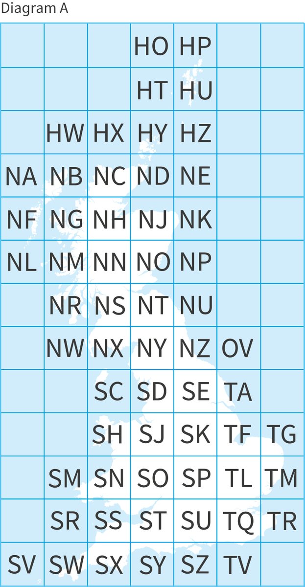
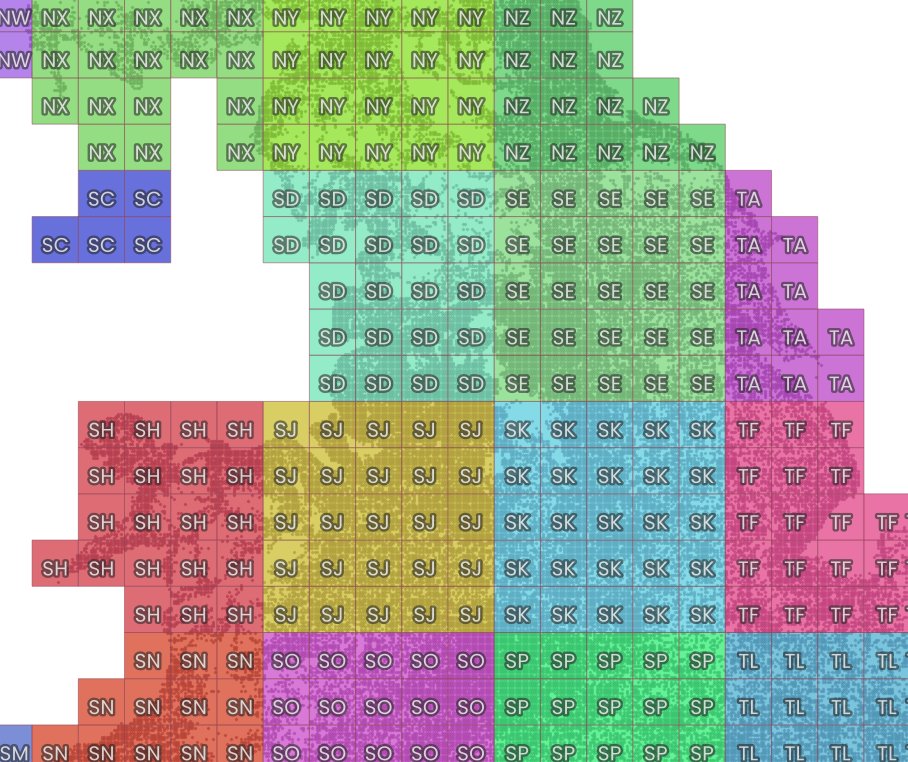
Short map thread, inspired @ScienceAndMaps earlier this week. Many people are familiar with @OrdnanceSurvey grid references (e.g. summit of Ben Nevis is NN 166 712) - those two letters you can see on the map of Great Britain below (2 letters = 100km x 100km - known as a 'myriad')
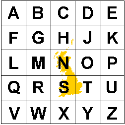
baffling combination of letters, no? Well, to crack that code you need to zoom out and see the 500km x 500km tiles this is based on (there's no letter I, so we have 25 squares) - image is from @EDINA_Digimap
isn't it nice that the N and the S align roughly with north and south? Ordnance Survey is the mapping agency for GB rather than the whole UK, hence no Northern Ireland on the grid. So, first letter from the 500km part, second letter from the 100km part (then we have 20km squares)
Read 10 tweets
1 Oct
Just had a behind the scenes tour at @NorthendPrint in Sheffield as they finalise our global population print and was blown away by the tech. Amazing stuff. Prints look super sharp too. Image
I could watch this all day, but probably shouldn't
it's just slightly bigger than a desktop inkjet Image
Read 4 tweets
28 Sep
I just had to double check

(see next tweet if this one makes no sense) Image
my suggestion for the next poster in this series - if someone can oblige - is Oldham and Australia

- same weather
- basically the same shape
- both begin with a vowel Image
Read 4 tweets
27 Sep
Anyone needing ready-made UK geodata for local authorities that includes the latest ONS mid-year population estimates (2019): I've shared it here in shp, gpkg and geojson formats (you can also grab place labels, buildings and IMD files while you're at it)

automaticknowledge.co.uk/resources/ Image
did I include a description of what the column headers mean? Yes.

Are there areas codes? Yes.

An area type column? Yes.

Region and country codes? Yes.

Single years of age? Yes.

NI big Loughs chopped out? Yes.

Free donuts? No. Image
did I make a code/name typo in a couple of places in the field name description file? Also yes.

(will fix but it doesn't affect any of the content, just my reputation as a typist)
Read 5 tweets
27 Sep
It feels like quite a good time to post a soothing landscape map gif

(made with open data from @OrdnanceSurvey )
here are the frames, should you wish to zoom in (first four) ImageImageImageImage
final three ImageImageImage
Read 6 tweets

Did Thread Reader help you today?

Support us! We are indie developers!


This site is made by just two indie developers on a laptop doing marketing, support and development! Read more about the story.

Become a Premium Member ($3/month or $30/year) and get exclusive features!

Become Premium

Too expensive? Make a small donation by buying us coffee ($5) or help with server cost ($10)

Donate via Paypal Become our Patreon

Thank you for your support!

Follow Us on Twitter!