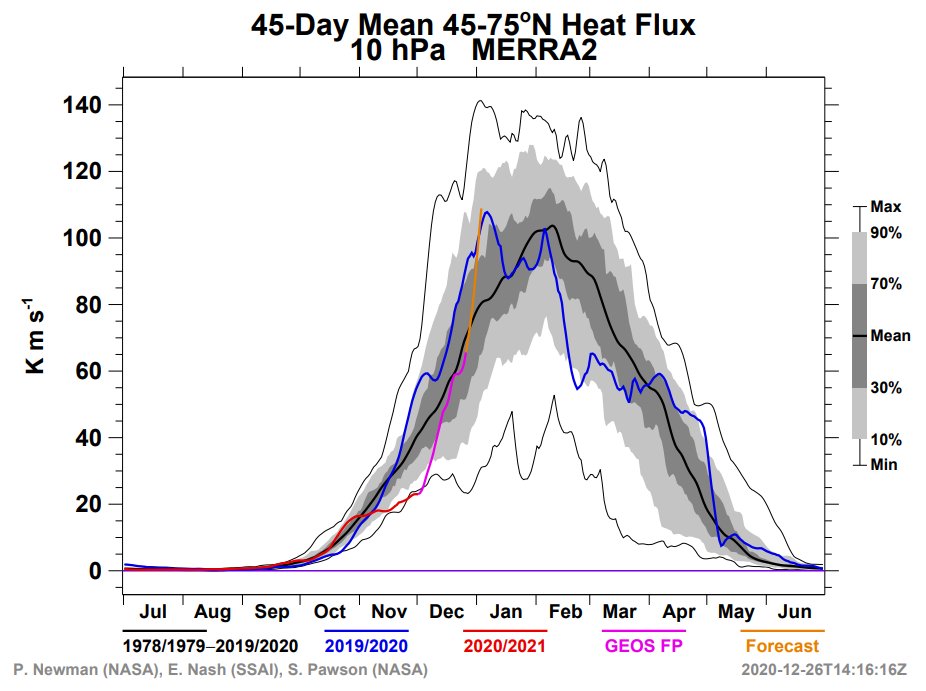
45-day Heat Flux at 10mb has been on a sharp and steady rise since record low numbers in late November, with more to come (orange line is forecast from NASA MERRA 2 model) 
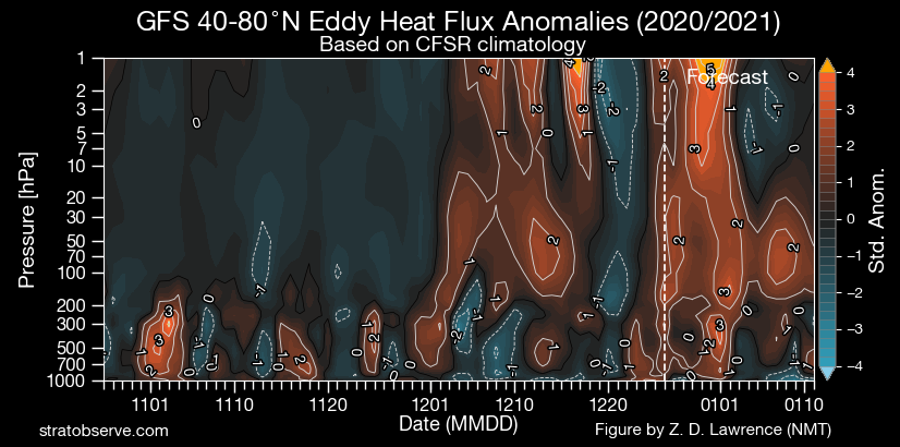
Strong heat flux thru the troposphere and stratosphere also indicated in the forecast here on the GFS
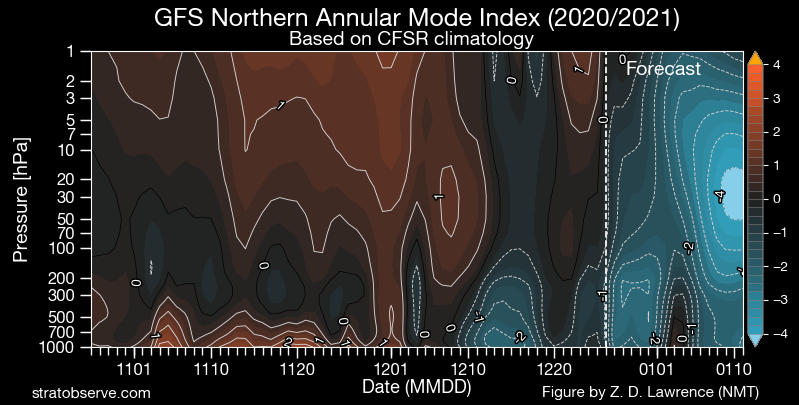
And the GFS forecast shows a negative Northern Annular Mode (i.e. the AO) in the full troposphere and stratosphere, indicative of a weakened polar vortex
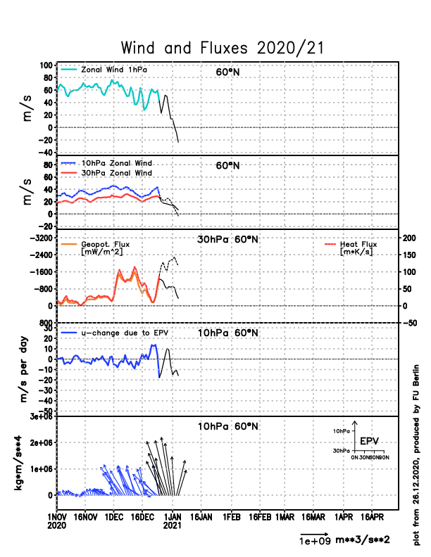
NASA MERRA2 forecast has the 60N zonal wind speed in the troposphere/stratosphere coupling layer at 100mb approaching record low levels, indicative of a weak polar vortex there

• • •
Missing some Tweet in this thread? You can try to
force a refresh