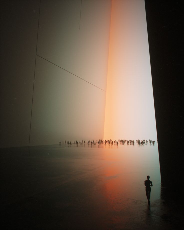
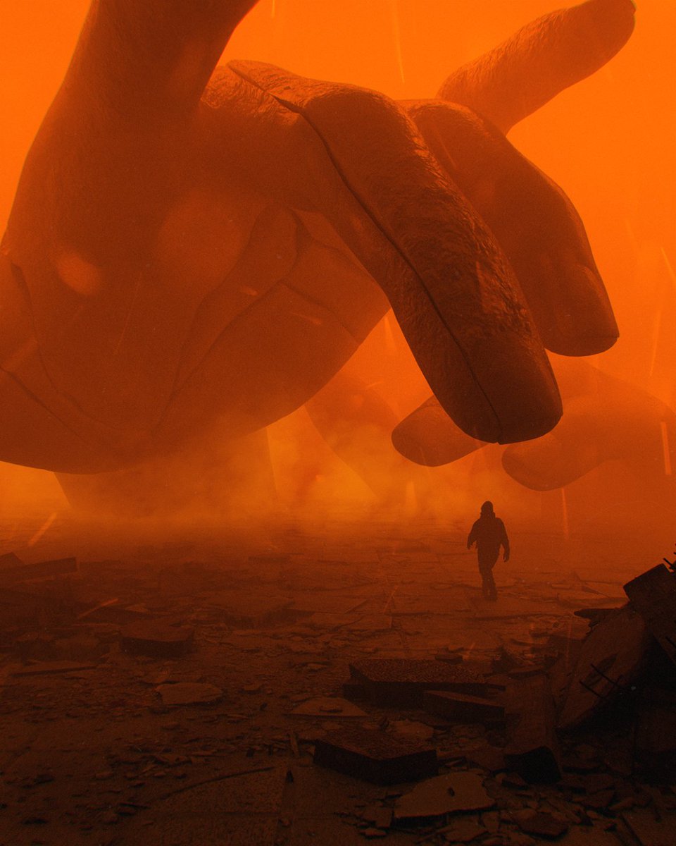
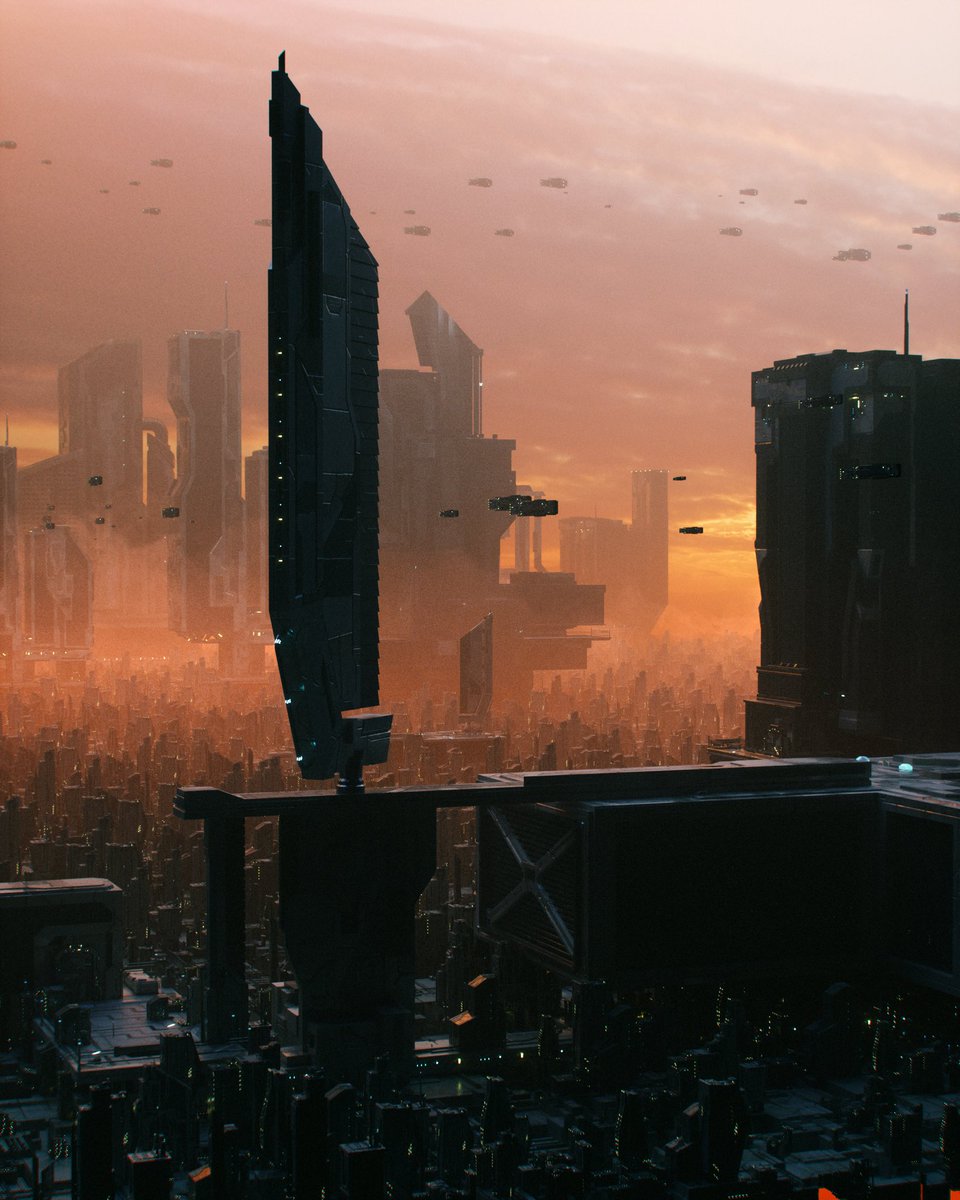
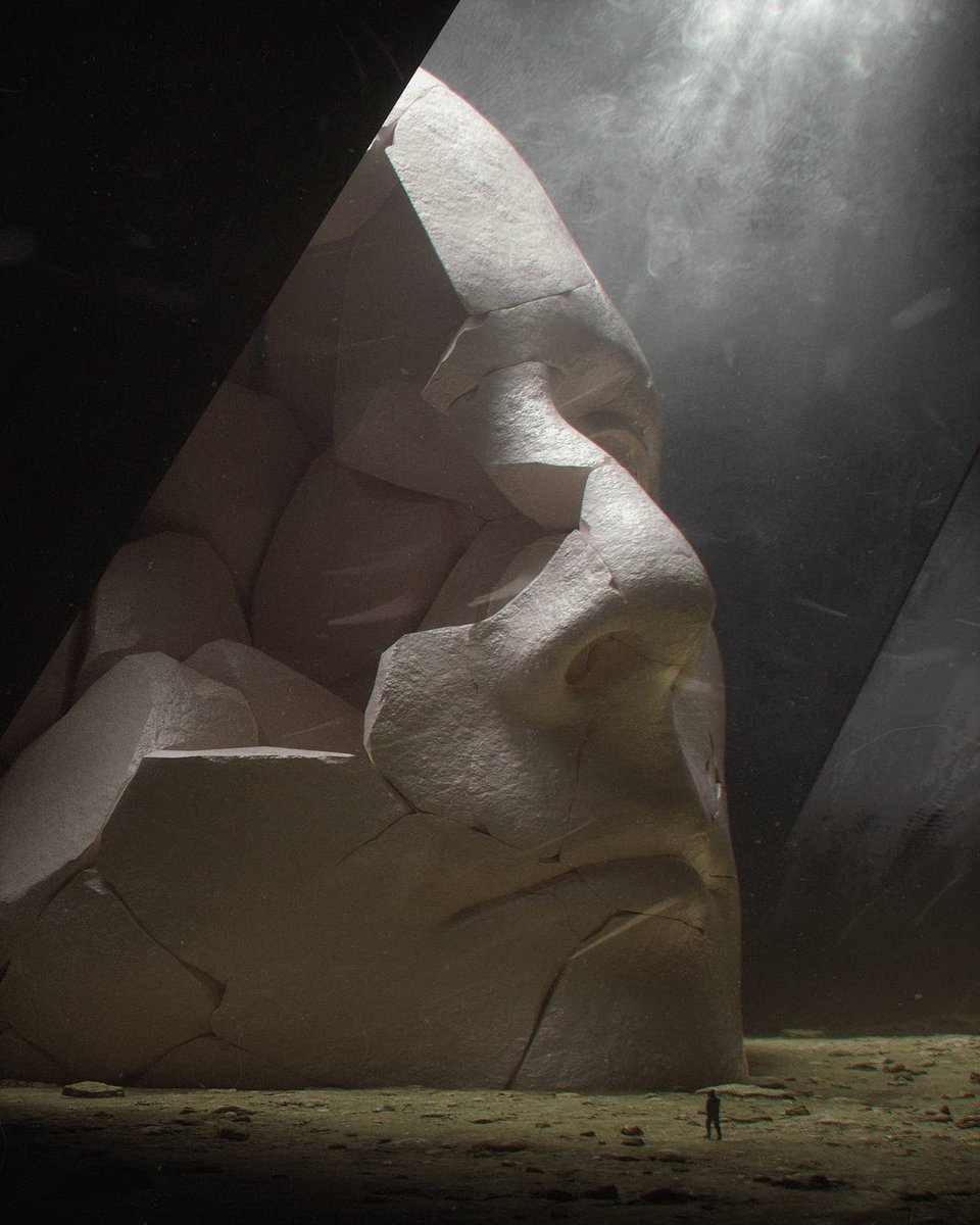
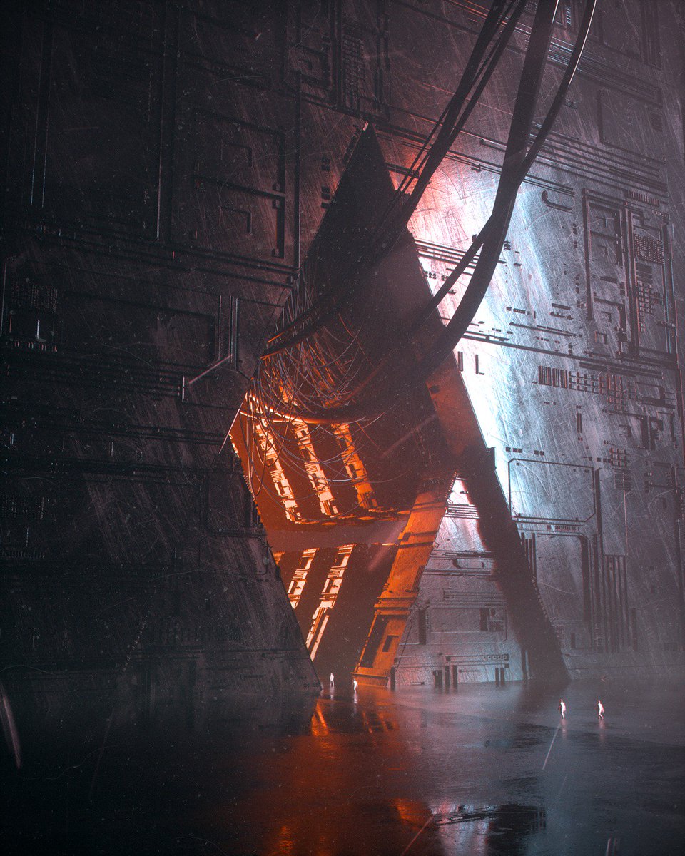
The eerie, dark and yet so captivating world of digital artist Stuart Lippincott—a few more here instagram.com/p/CLJqruqjGX7/… 


Stuart Lippincott aka Stuz0r is on twitter, too: @Stuz0r
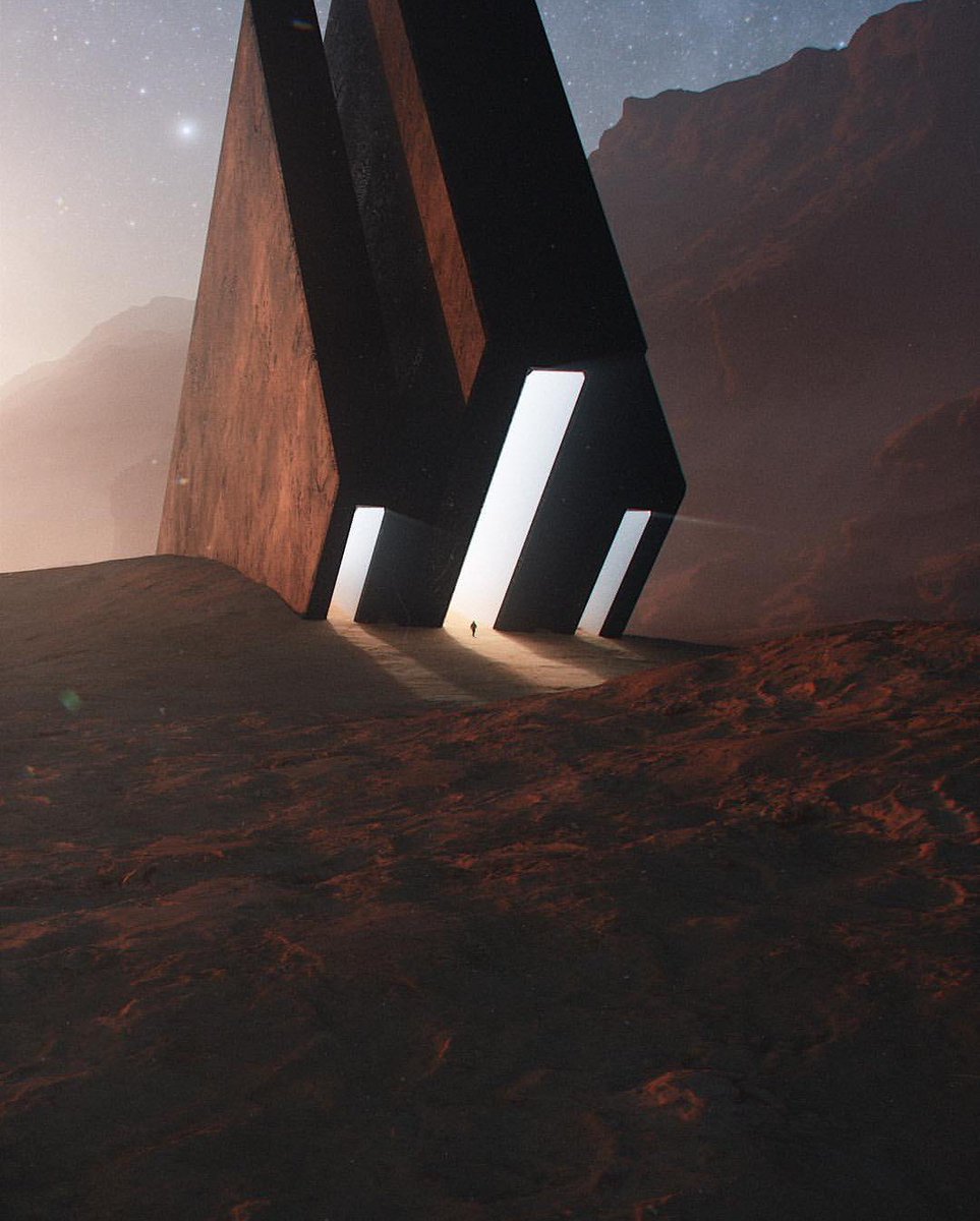
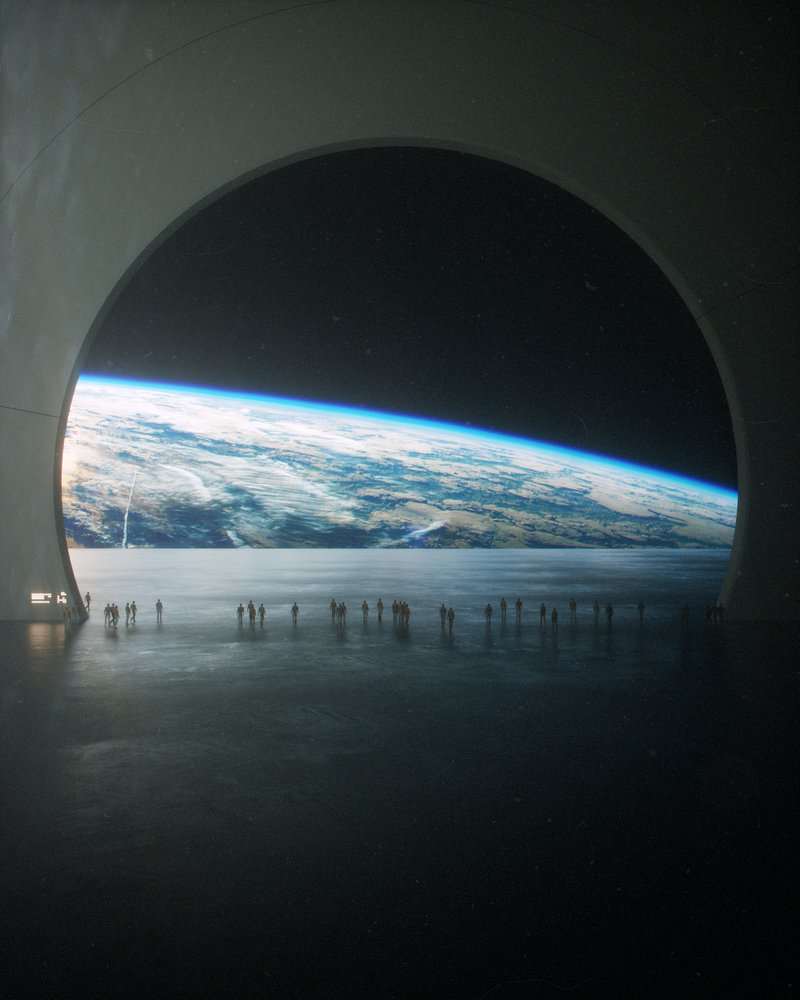
'Better together' by Stuart Lippincott

• • •
Missing some Tweet in this thread? You can try to
force a refresh