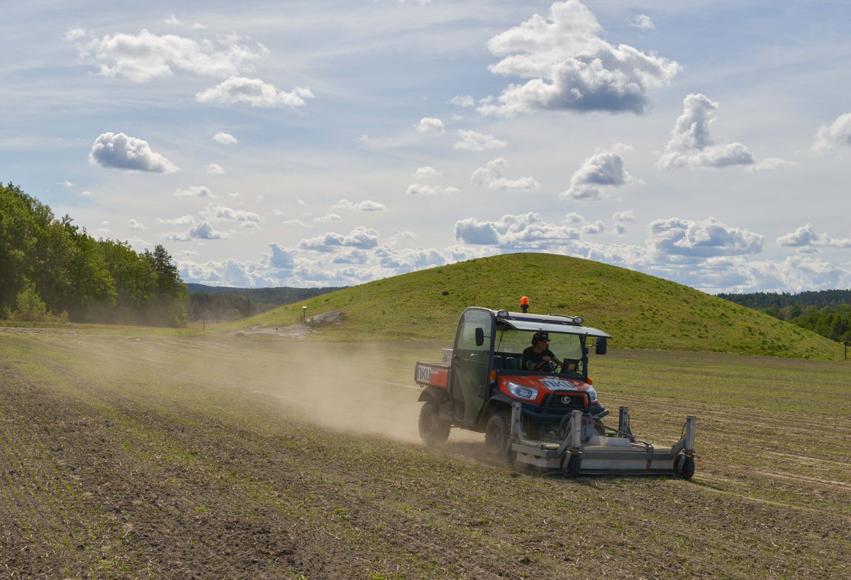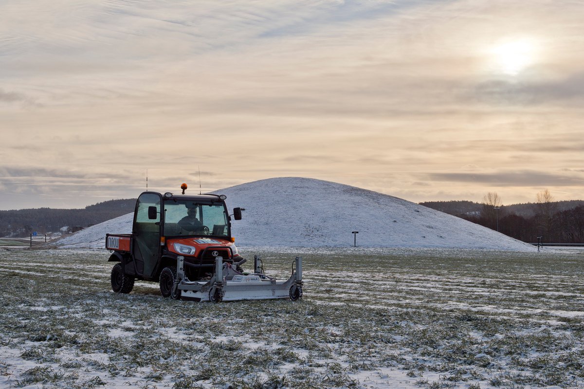
🆕 #archaeology: Some of Stonehenge appears to have originally been part of a Welsh stone circle that was dismantled & moved 280 km to Salisbury Plain ~3000 BC.
Here's an #AntiquityThread on research published today in Antiquity (🆓) buff.ly/3rFcVsf 1/🧵
Here's an #AntiquityThread on research published today in Antiquity (🆓) buff.ly/3rFcVsf 1/🧵

The discovery was made at the Waun Mawn site in the Preseli Hills of Wales, close to the quarries some of Stonehenge's bluestones came from. 2/
📷: Excavations at Waun Mawn
📷: Excavations at Waun Mawn

The researchers had previously identified that some of Stonehenge's bluestones came from those nearby quarries.
However, they found the stones were extracted before construction started at Stonehenge. 3/
📷: One of the quarries under excavation
However, they found the stones were extracted before construction started at Stonehenge. 3/
📷: One of the quarries under excavation

This prompted the team to turn their attention to the nearby site of Waun Mawn, a dismantled stone circle.
Although only 4 stones now remain, they found it was once the third largest stone circle in Britain. 4/
📷: The remains of Waun mawn, revealing the arc of the circle
Although only 4 stones now remain, they found it was once the third largest stone circle in Britain. 4/
📷: The remains of Waun mawn, revealing the arc of the circle

They excavated several of the now-empty stoneholes. Scientific dating of charcoal and sediments in them confirmed that Waun Mawn was put up around 3400 BC - before Stonehenge. 5/
📷: One of the stoneholes, with the stone packing used to secure the missing monolith still present
📷: One of the stoneholes, with the stone packing used to secure the missing monolith still present

But perhaps more interestingly, they found several key similarities between the two:
☀ Both were aligned on the midsummer solstice sunrise.
📏 Waun Mawn had a diameter of 110 metres, the same as that of the ditch that encloses Stonehenge. 6/
📷: Plan of Waun Mawn & Stonehenge

☀ Both were aligned on the midsummer solstice sunrise.
📏 Waun Mawn had a diameter of 110 metres, the same as that of the ditch that encloses Stonehenge. 6/
📷: Plan of Waun Mawn & Stonehenge


Crucially, they also found one of the bluestones at Stonehenge has an unusual cross-section which matches one of the holes left at Waun Mawn. Chippings in that hole are of the same rock type as the Stonehenge stone. 7/
📷: The bluestone at Stonehenge that to matches Waun Mawn

📷: The bluestone at Stonehenge that to matches Waun Mawn


Waun Mawn confirms that the Preseli region of Wales was an important and densely settled place in Neolithic Britain, within a concentration of dolmens and large enclosures. 8/
Yet evidence of activity in the after 3000 BC drops off.
“It’s as if they just vanished. Maybe most of the people migrated, taking their stones – their ancestral identities – with them” says lead author Parker Pearson 9/
📷: How the stones may have travelled
“It’s as if they just vanished. Maybe most of the people migrated, taking their stones – their ancestral identities – with them” says lead author Parker Pearson 9/
📷: How the stones may have travelled

Given the similarities with Stonehenge, it seems they may have moved there.
Recent isotopic analysis of people buried at Stonehenge when the bluestones likely arrived reveals many came from western Britain, possibly Wales 10/
📷: A pit at Stonehenge where remains were found
Recent isotopic analysis of people buried at Stonehenge when the bluestones likely arrived reveals many came from western Britain, possibly Wales 10/
📷: A pit at Stonehenge where remains were found

Some 43 bluestones survive today at Stonehenge, though many of these remain buried beneath the grass. 12/
📷: Bluestonehenge, a smaller, dismantled stone circle near Stonehenge. Reconstruction by Peter Dunn
📷: Bluestonehenge, a smaller, dismantled stone circle near Stonehenge. Reconstruction by Peter Dunn

Another long-distance mover is the Altar Stone, recently sourced to the Brecon Beacons in South Wales.
Parker Pearson wonders if this too may have been part of another Welsh monument 13/
📷: The Altar Stone at Stonehenge by Pam Brophy / CC BY-SA 2.0
Parker Pearson wonders if this too may have been part of another Welsh monument 13/
📷: The Altar Stone at Stonehenge by Pam Brophy / CC BY-SA 2.0

“With an estimated 80 bluestones put up on Salisbury Plain ... my guess is that Waun Mawn was not the only stone circle that contributed to Stonehenge. Maybe there are more in Preseli waiting to be found. Who knows? Someone will be lucky enough to find them.” 14/14
If you want to find out more you can read the whole paper 🆓 hot off the presses:
'The original Stonehenge? A dismantled stone circle in the Preseli Hills of west Wales'
doi.org/10.15184/aqy.2…
'The original Stonehenge? A dismantled stone circle in the Preseli Hills of west Wales'
doi.org/10.15184/aqy.2…

Tonight on BBC2 @ 9PM, @theAliceRoberts will be delving into all these incredible secrets of Stonehenge #StonehengeLostCircle
theguardian.com/uk-news/2021/f…
theguardian.com/uk-news/2021/f…
In the meantime, if you want to find out more about the latest research into #Stonehenge, we've put together a 🆓 collection of some of the top research into those spectacular sarsens 👇
buff.ly/2NlXiag
buff.ly/2NlXiag

• • •
Missing some Tweet in this thread? You can try to
force a refresh


