1/ I've always been persuaded that most policymakers have little understanding of the spatial implications of their policies. That because policymaking is mostly dominated by discursive and econometric logics.
An example? Electric cars charging stations.
I will explain why
2/ With the next generation EU and Biden's infrastructure plan taking shape, the economic and environmental opportunities and trade-offs of electrifying cars have been discussed a lot in the public debate. Important resources have been committed to expand charging infrastructure
3/ But beyond energy and economy, there is an impact that has almost not been mentioned: where will this charging station be actually built? They won't exist in theory, out of our Euclidean space. They will need to make their space in a congested urban environment.
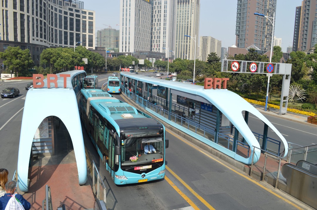
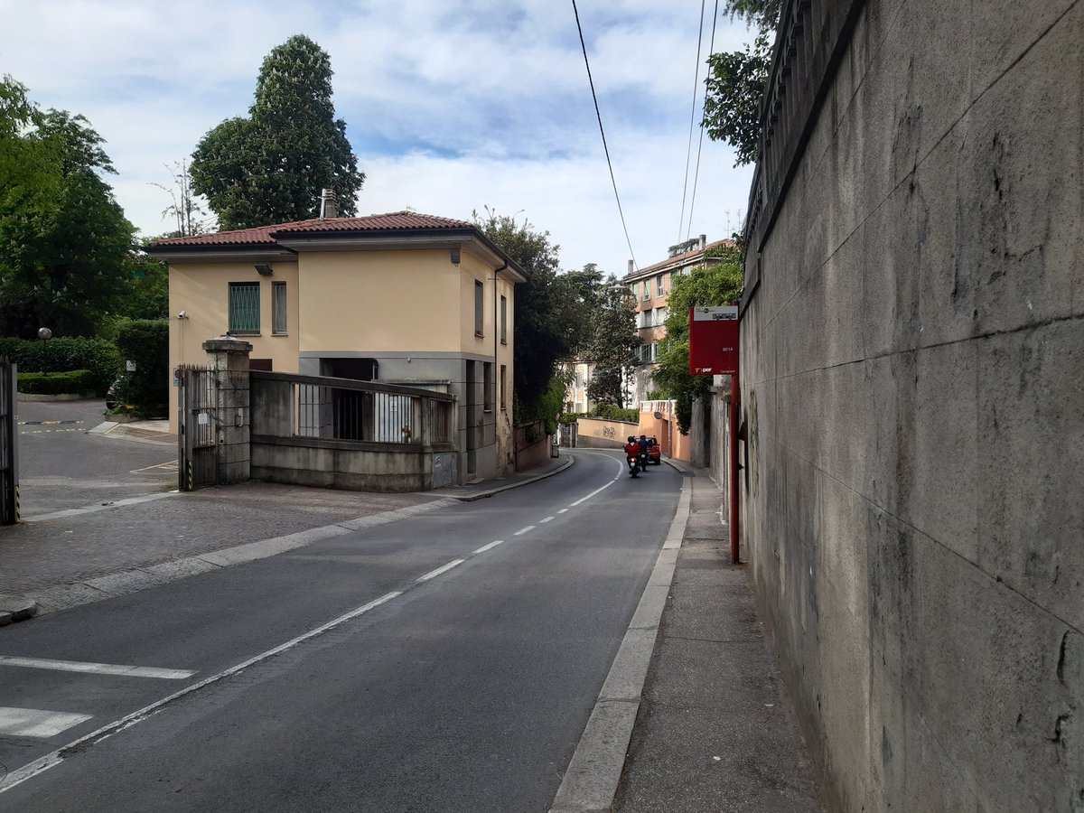
4/ The most plausible outcome is that those charging infrastructure will end up mostly on sidewalks, a space already contended by the multiple needs of city life: trees, streetlights, parking meters, bollards, trash bins, bike lanes, traffic cameras etc.
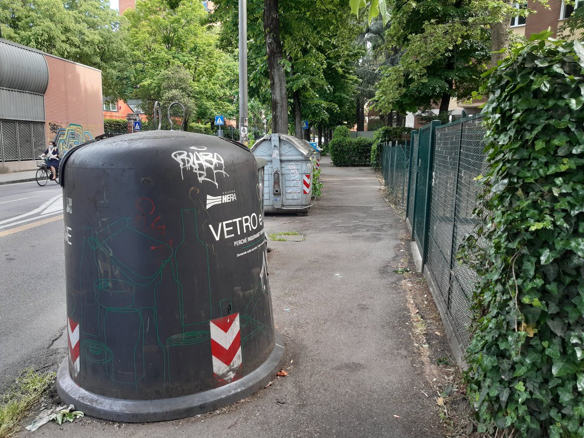
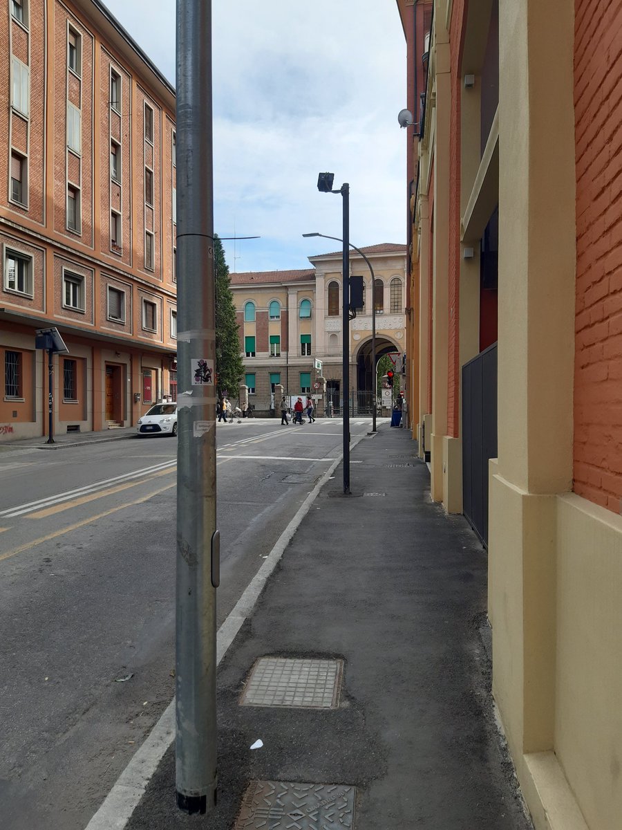
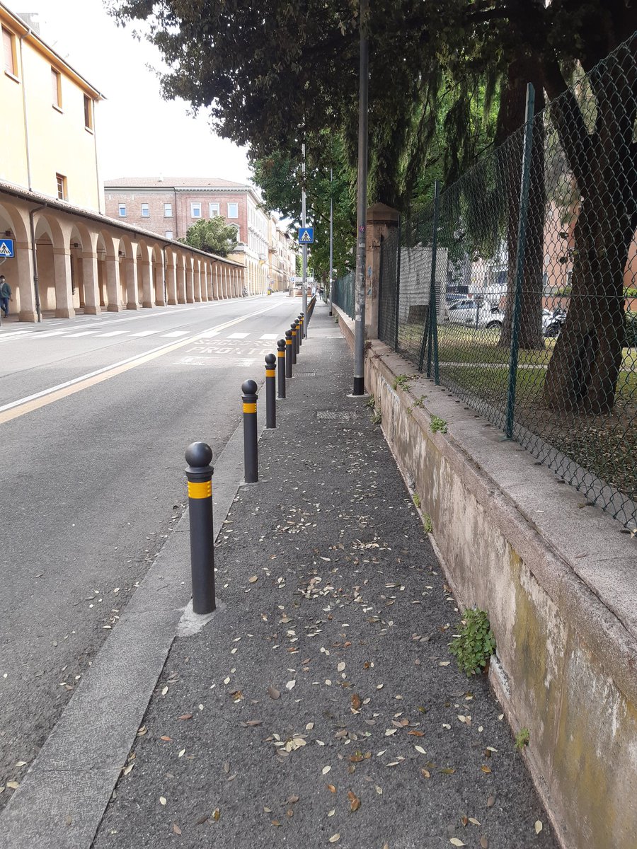
5/ Imagine what it will mean spatially to put chargers in as few as 10-20% of existing parking spots, in a country like Italy (or most Southern European ones) where the pre-war city has little off-street private parking and narrow sidewalks (or no sidewalks at all).6
6/ Who you think will loose ground in this new fight for scarce street urban space? I have some ideas.
But this is seldom discussed, because "space" is rarely a factor we talk about in political discourse, if not in the marginal niches of urbanism.
7/ I blame that, but I might be wrong, on a political discourse dominated by economics, that is good at algebra but bad at geometry, and by technology, narrowly intended as some engineering+IT gadget.
In general, our education relegates spatial disciplines in the margins.
8/ The result is that planners and city designers will be under growing pressure in the coming years to accommodate yet another bulky object into the public realm, parachuted by policymakers with little understanding of space-related constraints.
Brace yourselves, fellow planners
• • •
Missing some Tweet in this thread? You can try to
force a refresh
One of Bari's suburban rails owned by FSE (Ferrovie del Sud-Est) has been finally completely wired and provided with SCMT (Positive Train Control). The new timetable is now a perfect 30 minutes clockface, albeit limited to a 5AM-9:30PM operation. It's a single track line
We tend to overlook Puglia in the national transit discourse, but it's probably the only southern region outside Campania that has a decent transit network, an urban form conducive for transit (dense, compact towns) and actually invested in more service, not only new infra
The result is that Puglia is the only southern region that has seen a steady ridership increase in its local rail network: from 108k/day in 2011 to 150k/day in 2019 (+40%) while Sicily, a much larger region, is stuck at 45k/day and Campania plummeted by 44%, losing 200k/day
1/ I see a lot of "terminological confusion" under the sun, when we talk about train service, especially in a cross-Atlantic comparative perspective
So, I did a quick, and uncomplete, chart to help us all talk about that more clearly.
Here it is, with a short explanation thread
2/ A topology of rail service is a complicate task, because rail services exists in a spectrum and not in watertight categories. But using the average speed/average station distance metrics we can identify a few large clusters of rail service types
3/ Starting from the bottom-left, we have the large family of suburban/regional rail service. Those are rail services targeting the daily mobility needs of an urban region, from commuting to everything else. Their average speed is relatively low and stop spacing close (<10km)
Thanks to @BrendanDawe I discovered the Atlas of the French rail network published yearly by SNCF-Réseau (formerly RFF). There are a few interesting graphics about regional rail service intensity
Here is Paris (No RER A and B because RATP is another planet, not worth mapping :-)
Here is the whole country. France outside the Î-d-F confirms to be a bunch of provincial capital surrounded by the Great Nothingness :-P
And, of course, "La diagonal du vide (ferroviaire)"
Please note traffic generated by commuting to Luxembourg from the Meuse area (Metz/Nancy)
On the freight side, I'm surprised by the little numbers of daily trains. But I admit that freight is not my stuff, so I don't really know how these numbers compare to other corridors in EU or outside.
1/ Official news are out that the money for metro rail in the Italian recovery fund will go toward a 11km extension of Catania's 🚇metro system.
Here is make a thread about a system that started its life not so well, but has a very good potential for the future.
2/ Catania's metro has long been the tiniest metro system in Italy, contending this not so enviable title with Genova. It's still the least used one, with some 20k/day users in 2019 (7M/year).
But what is the history behind a system that is atypical in the Italian context?
3/ Catania is a 300k city with some 7-800k inhabitants in a metropolitan area spreading along the Eastern coast of Sicily and on the fertile foothills of Etna, cultivated with wine, pistachios, oranges, lemons, prickly pears🤤 etc.
1/ The relationship between the city and the rail is one that has defined urban development. The station front is, definitely, where that relationship is at its finest.
A thread about the "Piazza della Stazione", a piece of urban fabric you rarely see in England or the US
2/ One might say: a station is a station everywhere, what else? It's a series of tracks with platforms, maybe a vaulted steel canopy and a main building with passenger facilities.
But how does that interact with the urban fabric it's built within? Not in the same way everywhere
3/ Take London and its countless stations. They are nested within the urban fabric, bended and twisted to squeeze into a quite chaotically developed urban fabric. Many don't have a proper urban façade or a particularly defined public space in front of them.
1/ The debate between BRT (rubber based transit) and LRT/Tramway (rail-based transit) is often split around ideological lines. But the reality is that the choice is not so neat and it depends on a number of factors.
An example from the planned green line of Bologna's tramway.
2/ It's a short line, in reality a semi-line, the first section of a longer second line.
It is an interesting case because it replaces completely on almost the same corridor an existing frequent bus line (27) that has a 3'-4' headway at peak and 5'-6' during the day
3/The average speed of the proposed tramway line is 17.6km/h. Checking the current timetables of line 27, the average speed is almost the same of the current line. That because stop spacing is similar (350-400m), and there are already bus-only lanes on part of the route