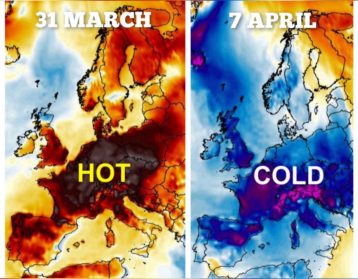
It was hotter in the Arctic than pretty much all of your favourite European holiday destinations today.
This thread explains what is going on.
This thread explains what is going on.
https://twitter.com/ScottDuncanWX/status/1395039582522122249
Let's start with anomalies. An anomaly compares the actual temperature to what is considered average for the time of year.
🔴 = warmer than normal
🔵 = colder than normal
You can see that most of Europe is much colder than average while Russia bakes in incredible warmth.
🔴 = warmer than normal
🔵 = colder than normal
You can see that most of Europe is much colder than average while Russia bakes in incredible warmth.

The weather pattern is perfect for singling out parts of Finland and Russia as hotspots.
The jet stream has a southerly track and locks cool air over much of the continent. The jet stream then lifts north around a blocking high pressure in Russia.
The jet stream has a southerly track and locks cool air over much of the continent. The jet stream then lifts north around a blocking high pressure in Russia.

This configuration has been in place for days to allow a swift flow of strong heat from the south.
This map represents the temperature about 1.5 km above sea level (sometimes useful to see what sort of airmass we have).
Notice how cold the airmass is over Iceland and Scotland.
This map represents the temperature about 1.5 km above sea level (sometimes useful to see what sort of airmass we have).
Notice how cold the airmass is over Iceland and Scotland.

These 'blocked' weather patterns are not extremely uncommon. Similar temperatures were achieved in 2014 for example. This setup is very impressive though.
See example by @SergeZaka
See example by @SergeZaka
https://twitter.com/SergeZaka/status/1395005391768014851
The difference though, Europe was widely much warmer compared to the absurd cold (relatively speaking) we have right now.
It makes the warmth in the Arctic seem even more absurd right now.
It makes the warmth in the Arctic seem even more absurd right now.
We mustn't forget that the Arctic (especially with continent to the south like we have here), is often subject to extremely wild temperature swings.
Turn on the southerly flow and you get continental heat.
Turn on the northerly flow and you get frigid ice air.
Turn on the southerly flow and you get continental heat.
Turn on the northerly flow and you get frigid ice air.
It begs the question, what is 'normal' temperature in a place like this?
We can calculate the average high temperature but does this mean much?
Check out the average max and average min for a nearby site. And then look at the extremes.
Via: @infoclimat
infoclimat.fr

We can calculate the average high temperature but does this mean much?
Check out the average max and average min for a nearby site. And then look at the extremes.
Via: @infoclimat
infoclimat.fr


The main idea here is that some parts of the Arctic have the potential for extreme temperature swings. This idea is not new. There are countless examples of profound heat in the Arctic dating back centuries.
But...
But...
The Arctic, particularly on the Russian side is experiencing more and more intense heatwaves. Last year, we set the new all-time Arctic heat record. The heat was relentless and extremely damaging for ecosystems.
https://twitter.com/scottduncanwx/status/1273997213623033862?lang=en
I urge you to look at this thread I made for the year 2020.
https://twitter.com/scottduncanwx/status/1346141025853714434?lang=en
Human induced climate change is the key player here. We simply would not be able to achieve the severity of heat without a warming planet.
washingtonpost.com/weather/2020/0…
washingtonpost.com/weather/2020/0…
Naturally, we can't forget about sea ice. Increasingly ferocious heatwaves are having profound impacts along with the background warming trend.
More discussed on sea ice from last year in my blog: scottduncanwx.com/arctic-sea-ice…
More discussed on sea ice from last year in my blog: scottduncanwx.com/arctic-sea-ice…
The Arctic is warming very fast, this makes profound heatwaves more likely (and extreme thresholds easier to break).
I discuss the rates of Arctic warming vs the global average warming rate here.
I discuss the rates of Arctic warming vs the global average warming rate here.
https://twitter.com/ScottDuncanWX/status/1351406155122270211
So in a nutshell...
Yes 30°C is surprisingly hot for the Arctic in May.
Yes heat is not unheard of or new to the Arctic
Yes local May records were broken in Northwest Russia.
Yes human induced climate change is at the heart of many of our changes and extremes in the Arctic.
Yes 30°C is surprisingly hot for the Arctic in May.
Yes heat is not unheard of or new to the Arctic
Yes local May records were broken in Northwest Russia.
Yes human induced climate change is at the heart of many of our changes and extremes in the Arctic.
• • •
Missing some Tweet in this thread? You can try to
force a refresh


