
As forecast a low has formed north east of Newfoundland and is now heading east towards the UK, where recent forecasts have indicated it may remain for several days bringing rain to Western Europe.
Todays #EuropeBigWet update.
Todays #EuropeBigWet update.
https://twitter.com/althecat/status/1405137495755534338
Here in Brittany underneath the cloud mass running up Europe's Western flank it has now been raining since 4pm yesterday. A break is forecast this afternoon before it resumes in the evening.
In the image here you see the cause, clouds travelling north over the Western Sahara.
In the image here you see the cause, clouds travelling north over the Western Sahara.

Here you see a close up of the source of the storms heading northwards up Europe's West Coast.
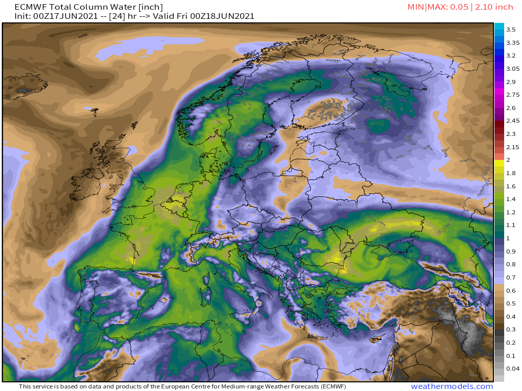
These three Precipitable Water Vapour maps show the picture now, at midnight tonight and then at noon and midnight tomorrow.


By midnight tomorrow the low mentioned in the first tweet in this thread will have traversed the north Atlantic. These three MLSP maps show what happens next, till midnight Sunday.
Through this time frame the conditions remain favourable for rain over Western Europe.
Through this time frame the conditions remain favourable for rain over Western Europe.


This animation shows a the GFS rainfall simulation through to Tuesday which is the result of this.
Saturday afternoon through till Sunday night look to be the heavy rain days, mostly for France, the UK and the low countries.
Saturday afternoon through till Sunday night look to be the heavy rain days, mostly for France, the UK and the low countries.
And then according to the forecasts we get a bit of a break before the next Atlantic low arrives next Wednesday. And this time it mainly effects the UK and Ireland.
/ENDS
@Threadreaderapp unroll
/ENDS
@Threadreaderapp unroll
• • •
Missing some Tweet in this thread? You can try to
force a refresh


