As #china claimed the Sakteng wildlife sanctuary in eastern #bhutan in June 2020—in likely an effort to sow further confusion—it built a new track to one of four new areas cleared for construction in the Dramana and Shakhatoe areas of western Bhutan. shorturl.at/gipNW
Given the Ladakh crisis that had just begun, it’s likely decision makers were off-balance as China exerted additional pressure with new deployments along the LAC, some of which we still see today. (imagery: @planet) 

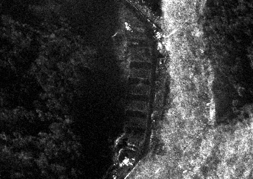
Furthermore, construction activity has also been monitored in the Langmarpo valley and further south on the Doklam plateau. Several areas have been cleared and we expect additional construction activity in 2022. Here's an area with new foundations (imagery: @capellaspace) 

Here's another area translated as Jiwujiadeng from Mapbox data that will likely see new construction activity in 2022. This is also in the Dramana and Shakhatoe area. (Imagery: @planet) 

Nice to see @Maxar releasing their images of the area in this NDTV report. The two areas are in the Dramana and Shakhatoe areas. ndtv.com/india-news/exc…
In my public/private reporting we call these areas out as Caitangsha and Qule, though these may not be the exact names which are likely disputed. NDTV doesn't show Sairubu which is further southwest and the Jiwujiadeng area in the north where construction has just broken ground.
We've also identified a livestock production facility to the north of the area near Pagri. While currently circumstantial, we find the location interesting given China's efforts to graze animals in disputed territory. (Imagery: @planet) 

@planet Recall @RobbieBarnett's excellent report in @ForeignPolicy last May where the Bhutanese accused their neighbors to the north. 

It's possible we could see similar tensions in other grazing areas. Here's a location further south for example where a new Chinese post has popped up opposite a Bhutanese grazing area. 

How fortuitous maybe China can send in some of these 'electric yaks'...
https://twitter.com/Nickatgreat1220/status/1481669961978318855
• • •
Missing some Tweet in this thread? You can try to
force a refresh


