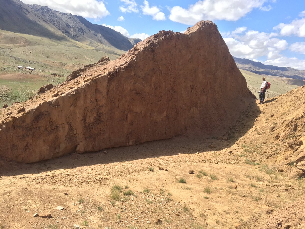
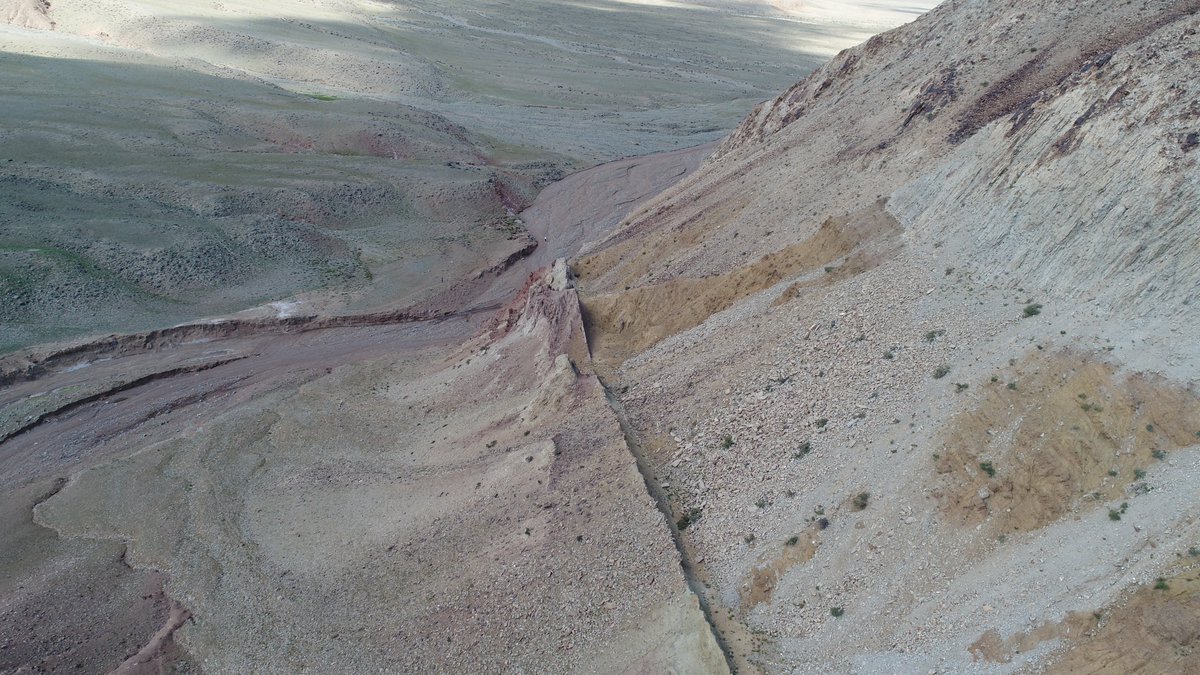
🧵🇬🇧1/10 #OTD 30 years ago, the 1992 M5.8 #Roermond earthquake shook the Netherlands, exactly one month before this earthquake geologist was born on the opposite side of the Roer Valley Graben.
A thread on why the first of these two shocks is so interesting:

A thread on why the first of these two shocks is so interesting:


The Roermond eq occurred along the Peel Boundary Fault Zone in SE Netherlands. The fault zone is part of the Lower Rhine Graben, a NW-SE striking normal fault system in intraplate Europe. The eq in 1992 served as a reminder that the Netherlands is naturally seismically active.
Local farmers and land owners have been adapting to the effects of the fault on their water sources for centuries. The sealing capacity of the fault hinders groundwater flow and results in a wet footwall (topographically higher) and a dry hanging wall (lower block).
Old maps (~1850) clearly show that village locations were dictated by fault-related topography, and flora and fauna on either side of the fault still varies significantly. Research also continues on the neotectonics, hydrological effects and the permeability of the fault zone. 

Recent contributions (e.g. van Balen et al., 2019) have shown that earthquakes up to M6.8 have occurred along the fault, with recurrence intervals of 1000s of years. Eqs like the one in 1992 may recur every few 100 years.
In recent years the Dutch earthquake news has been dominated by induced events in the northern part of the country, but days such as these remind us that we should be prepared for earthquakes in other parts too.
Do you know what to do when you feel an earthquake?
Do you know what to do when you feel an earthquake?

Last year @Erikvdwiel and I took BSc students from @UUEarthSciences to explore the PBFZ. Many of them were oblivious to the recent seismic activity in this area but they enthusiastically searched for (sub-)surface evidence of offsets and pinpointed the fault within 0.5 m distance 

Although much of the Dutch subsurface has been imaged, a lot is still unknown about the neotectonics of this part of the world, and the combination of modern climate conditions and anthropological effects on the preservation of tectonic geomorphology is challenging.
Luckily new methods are being developed continuously, and our knowledge on slowly deforming intraplate areas has been boosted by some excellent research in recent years. I’m excited to see what insights the next 30 years will bring!
If you would like to know more: Check out @RimbaudLapperre's research and the rest of the Ronald van Balen group at @VUamsterdam, and work by @ActiveFaults , @JoHuBla and @spenacastellnou on the continuation of the Lower Rhine Graben into southern Germany. 10/10
• • •
Missing some Tweet in this thread? You can try to
force a refresh


