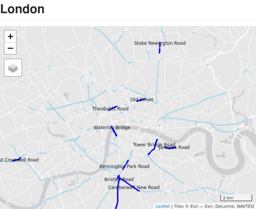
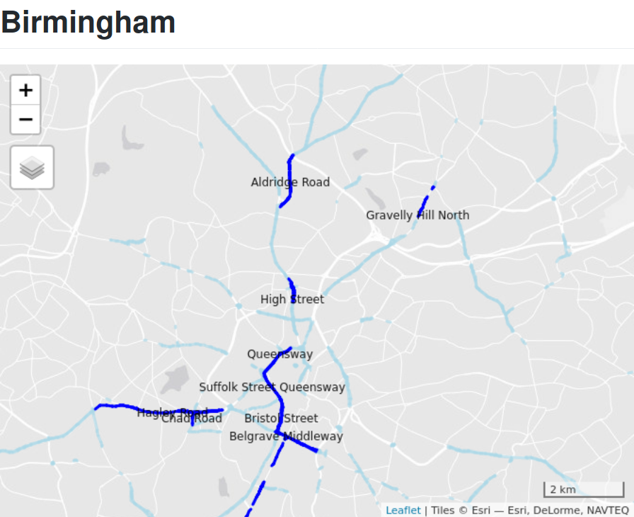
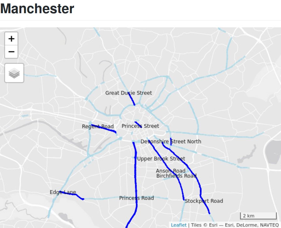
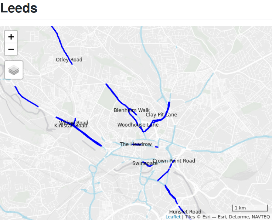
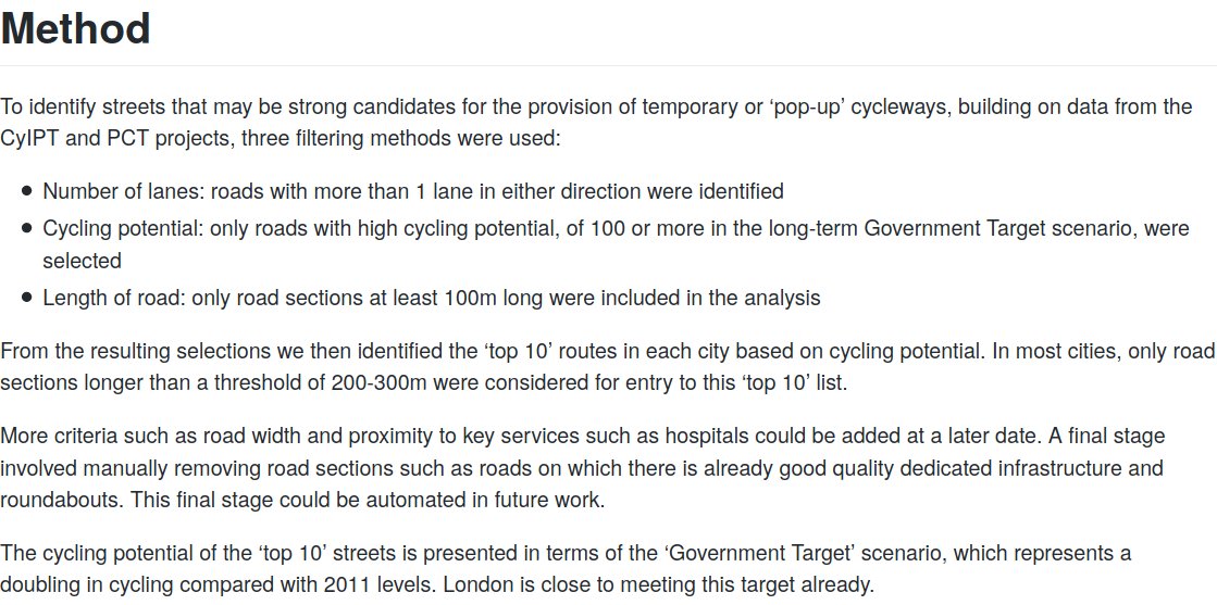
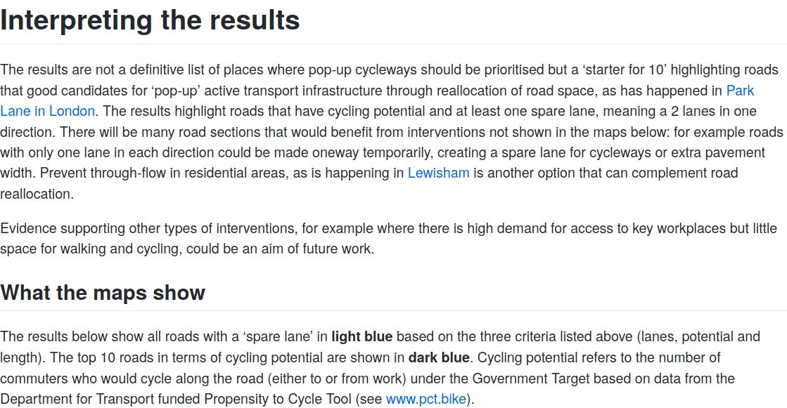
Interested in public transit 🚌🚅⛴️ data and software development? Check out the gtfs_manager project, a prototype desktop application written in #rustlang by @maxunsted, to explore and even edit your GTFS files 🎉 A short thread... 
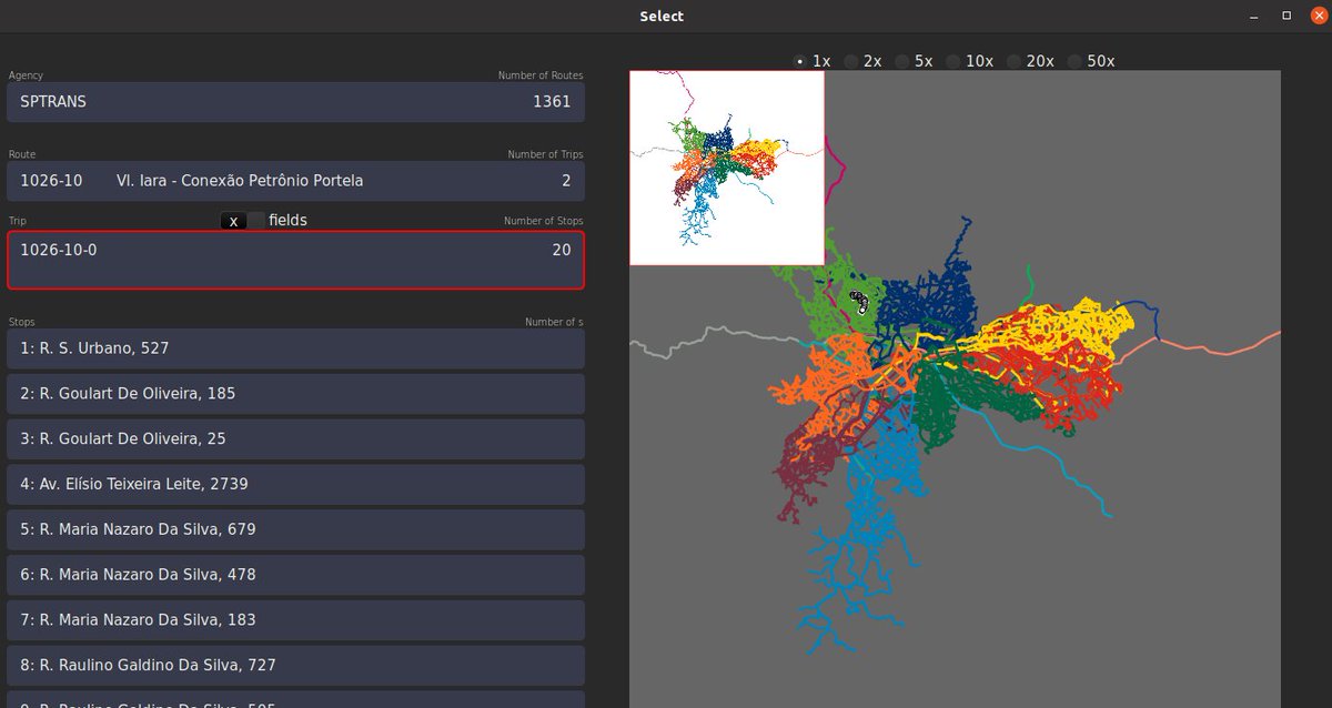
The project is now at MVP prototype stage and is looking for people to test it out, provide feedback, and get involved. See post on @rustlang Reddit here: reddit.com/r/rust/comment… for details.
The code underlying the project is #OpenSource and can be found on @github. It's in many ways a @foss4g + #gischat project but focus is on user experience. Check the video there + install with:
cargo install --git github.com/spstreets/gtfs…
cargo install --git github.com/spstreets/gtfs…
In terms of background, this was part of a wider project funded by the World Bank that had input from @fred_r_ramos, Ciro Biderman, @CarlinoDustin and many others. We hope it forms the basis of new #gtfs exploring/editing tools for more evidence-based and participatory planning.
Exciting update on this: someone (thank you Jean Simard : ) has managed to get #gtfs_manager working for Paris 🚀
To see details + test + communicate on your own GTFS datasets (🙏 1st question, does it work?), see here: github.com/spstreets/gtfs… #gischat from first principles!
To see details + test + communicate on your own GTFS datasets (🙏 1st question, does it work?), see here: github.com/spstreets/gtfs… #gischat from first principles!

• • •
Missing some Tweet in this thread? You can try to
force a refresh


