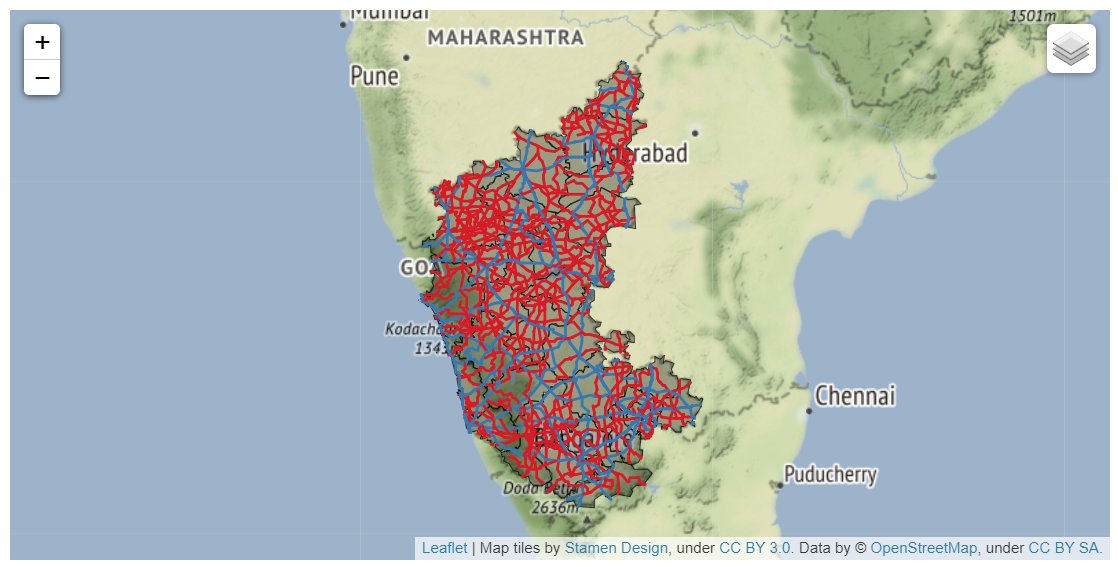
Happy to announce my new course Mapping and Data Visualization with #Python. This has been in the making for over a year and excited to be able to share it with the world! The full course is free for self-study and shared under an open license. An overview thread below 👇 1/n
We start with the overview of the Python data visualization landscape and zero in on the core libraries for mapping. Day 1 covers vector data visualization with #Maptplotlib, #Pandas, #GeoPandas, and #Contextily (2/n) 


Day 2 starts with a deep dive into XArray and raster data visualization. We use #Xarray, #rioxarray and #CartoPy to visualize elevation and gridded climate datasets and learn some advanced #Matplotlib tricks. (3/n) 


On Day 3, we switch gears and start covering libraries for interactive mapping. We use #Folium, #GeoPandas, and #Leafmap to create interactive maps with a range of geospatial datasets, including how to use Cloud-Optimized GeoTIFFs (#COG) for visualizing large rasters. (4/n) 


The last day is dedicated to learning how to build apps and dashboards with #Streamlit. We put together everything we learned in the class so far - and build a dashboard, a geocoding app, and a multi-layer mapping app using #Leafmap and publish it on #Streamlit cloud (5/n) 


The whole course is organized as a series of #Jupyter notebooks that can be run on #Colab with zero configuration. I hope this makes the exercises approachable to beginners. Check out the full course on our OpenCourseWare site and start learning! courses.spatialthoughts.com/python-dataviz…
This course is also offered as a live online cohort-based class that attracts professionals from across the world. The live classes come with free lifetime support and certification! Check out our instructor-led offerings at spatialthoughts.com/events/ 

• • •
Missing some Tweet in this thread? You can try to
force a refresh


