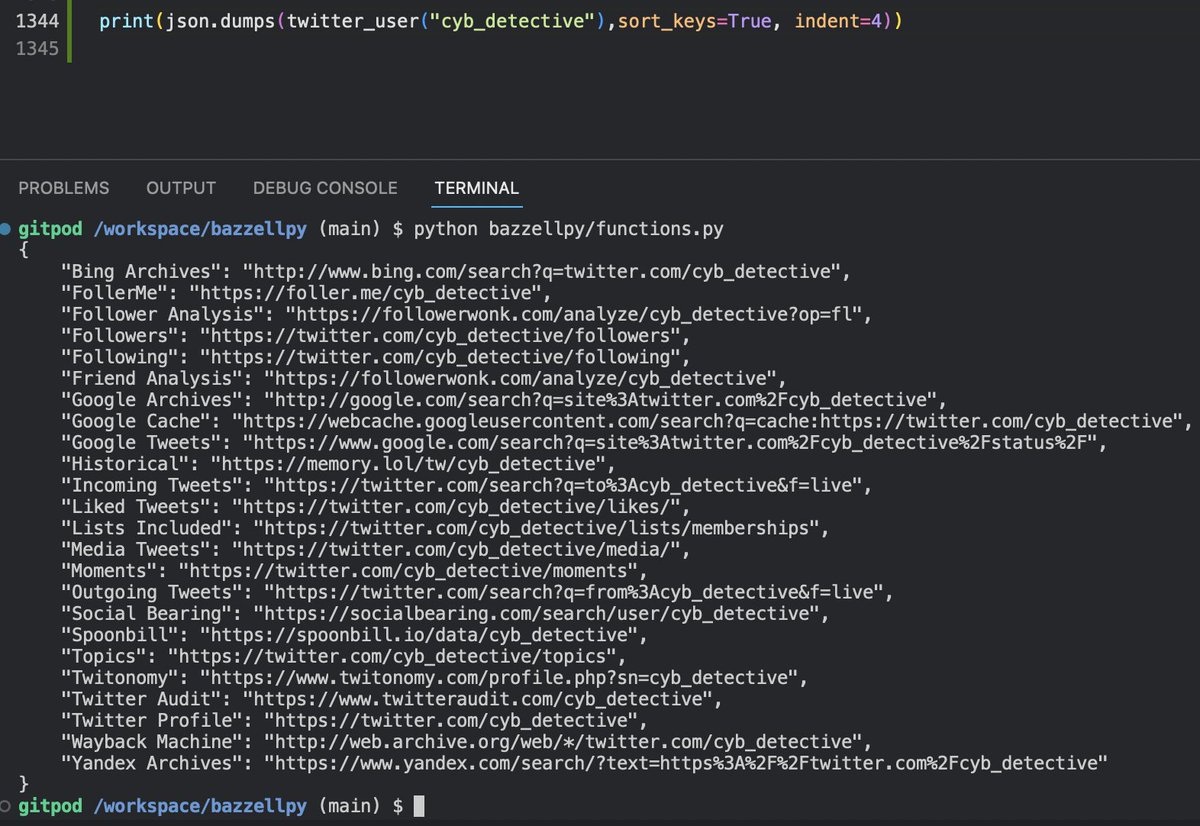
Tools to increase the efficiency of working with MAPSs in #osint (more exact #geoint)
Quick basic thread
(1/10)🧵
Quick basic thread
(1/10)🧵

These tools will help you measure the area of individual map sections (in square and polygon form), the radius of circle on the map, the distance between points of complex routes, etc.
calcmaps.com
zhenyanghua.github.io/MeasureTool-Go…
(2/10) 🧵

calcmaps.com
zhenyanghua.github.io/MeasureTool-Go…
(2/10) 🧵


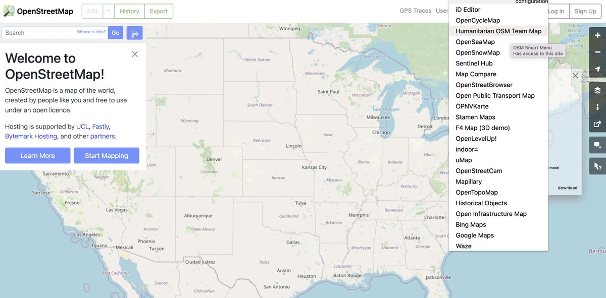
And these tools will help you quickly compare how the same place looks on dozens of different online maps:
tools.geofabrik.de/mc/
OSM smart menu extension:
chrome.google.com/webstore/detai…
(3/10)🧵

tools.geofabrik.de/mc/
OSM smart menu extension:
chrome.google.com/webstore/detai…
(3/10)🧵

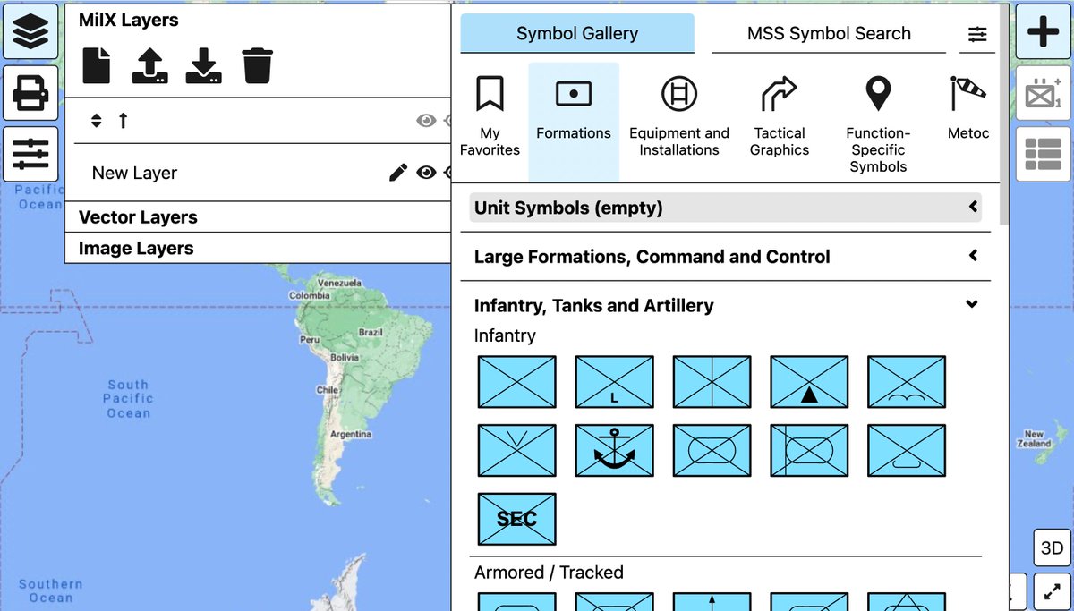
This tools for creating map-based data visualizations. They are especially useful for analyzing military battles or natural disasters.
scribblemaps.com
map.army
mgrs-mapper.com
(4/10)🧵


scribblemaps.com
map.army
mgrs-mapper.com
(4/10)🧵


Google maps scraper will help to find on the map all the points corresponding to the keywords in a certain city, and then export the information about them to a table.
console.apify.com/actors/nwua9Gu…
(5/10)🧵
console.apify.com/actors/nwua9Gu…
(5/10)🧵

ACSCDG allows you to mark arbitrary points on the map and then save their list together with their coordinates.
acscdg.com
(6/10)🧵
acscdg.com
(6/10)🧵

If you have a list of addresses, these tools will help you quickly convert it into a list of geographic coordinates (for later analysis with the tools from the tweets below):
geocode.localfocus.nl
ezGeocode (Google sheet addon)
workspace.google.com/u/0/marketplac…
(7/10)🧵

geocode.localfocus.nl
ezGeocode (Google sheet addon)
workspace.google.com/u/0/marketplac…
(7/10)🧵


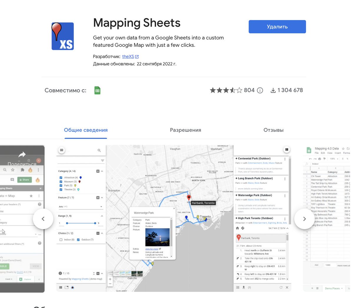
If you need to put a list of coordinates on a map, you can use the Mapping Sheets addon for Google Sheet:
workspace.google.com/u/0/marketplac…
(8/10)🧵
workspace.google.com/u/0/marketplac…
(8/10)🧵
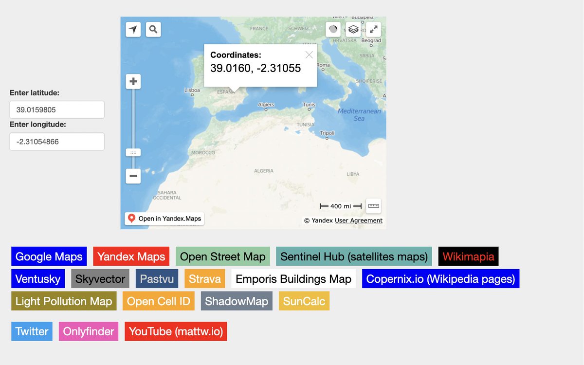
And this tool will help to generate links (based on geographic coordinates) to view information about this place in different services (Twitter, YouTube, Shadowmap, Pastvu etc.)
cipher387.github.io/quickgeolocati…
(9/10)🧵
cipher387.github.io/quickgeolocati…
(9/10)🧵
This thread is end, but the topic of working with cards in #osint is endless. More tools for working with satellites, military geodata, and lots of different interesting maps can be found in my (@cyb_detective ) collection:
github.com/cipher387/osin…
(10/10)🧵


github.com/cipher387/osin…
(10/10)🧵


@threader compile
@threadreaderapp unroll
@threadRip unroll
@PingThread unroll
@ThreadReaders unroll
@TurnipSocial save
@Readwiseio save thread
@tresselapp save thread
@rattibha unroll
@getnaked_bot unroll
@threadreaderapp unroll
@threadRip unroll
@PingThread unroll
@ThreadReaders unroll
@TurnipSocial save
@Readwiseio save thread
@tresselapp save thread
@rattibha unroll
@getnaked_bot unroll
• • •
Missing some Tweet in this thread? You can try to
force a refresh


