The collision of a Hurricane of the scale of #HurricaneJulia and Tehuantepecer [en.wikipedia.org/wiki/Tehuantep…] wind gap is not something you see everyday, setting the scene phase 2 of the #ExtremeWeather event over Central America. en.wikipedia.org/wiki/Tehuantep….
As you can see in the animation above it as if the storm has been blown up. But in fact it has been split in two - and there are now two components to watch. Potential Hurricane's on both side of the Central American Isthmus.
Left: Eastern Pacific Zone
Right: Atlantic Zone
Left: Eastern Pacific Zone
Right: Atlantic Zone


Here's the first 200 hours of previous run of the GFS model. And at the begin you can see the wind gap event as #HurricaneJulia's Western side came over the Yucutan peninsula pushing a high velocity mass of wet air through the gap.
Tis diagram from the #Wiikpedia page explains the phenomena. Effectively what just happened is that a large chunk of very unstable atmospheric water laden air was pushed through the gap at high speed and has immediately become a hurricane candidate of the Sth coast of Mexico.

This EPS Ensemble Sphaghetti Map shows the level of uncertainty in the weather models about what will happen next. Unfortunately neither of the new systems has yet been designated as an #Invest which means we do not yet have satellite floater imagery available to examine them.

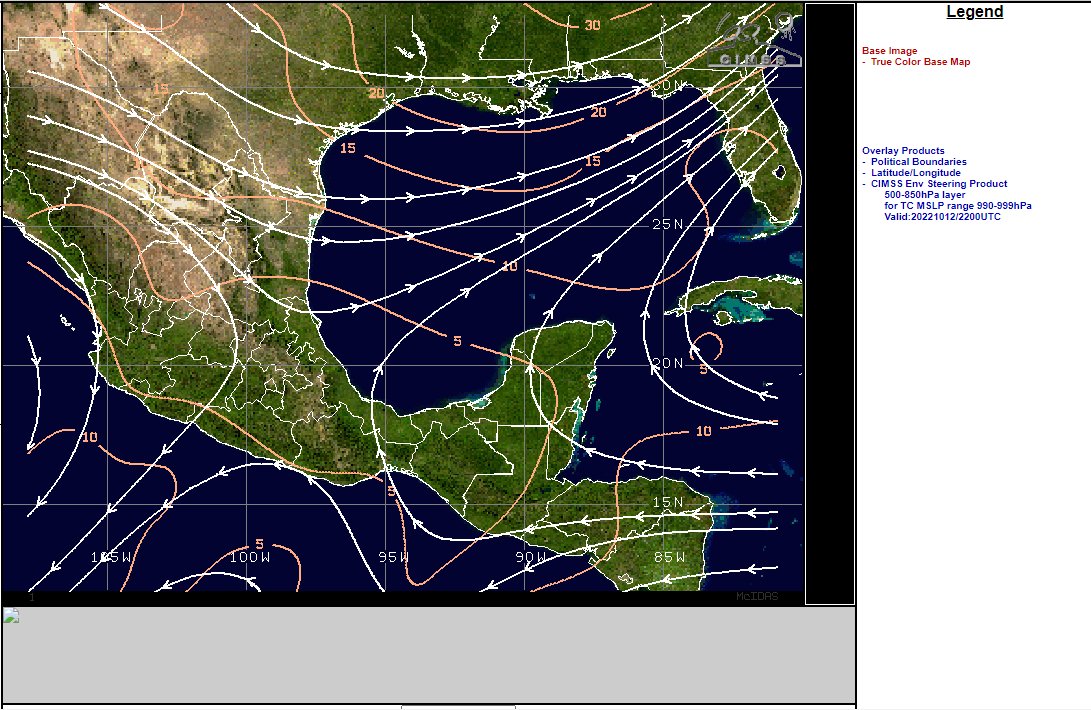
The other factor is big blob of arctic air which is heading south east over the United states. This view shows the atmospheric height - which corelates to high barometric pressure.
The red bit is like a mountain range, the brown bit foot foothills & the blue like a crater.
The red bit is like a mountain range, the brown bit foot foothills & the blue like a crater.

And here's a 72 hour animation of the blob pushing south. This is a very macro sized view of the situation BTW. The dark blue bit at the top is the Arctic.
The previous animation shows a view of the height of the atmosphere at 5500m.
Here we see a atmospheric water view - as the water is coming from the arctic it is dry - and it is now colliding with tropical atmospheric water over the Gulf of Mexico.
Here we see a atmospheric water view - as the water is coming from the arctic it is dry - and it is now colliding with tropical atmospheric water over the Gulf of Mexico.
The atmospheric physics here are colossal. Dry air has less mass so it cannot easily push super-saturated air in front of it and you can see here that the Tehuantepecer wind gap event continues for 5 days - eventually pushing the remnants of #HurricaneJulia through the gap.
In this latest GFS model the storm is putting up a titanic fight against the shear it is experiencing & most of the water is actually passing over southern Mexico. Eventually the vortex passes through the gap - and the Gulf Storm dissipates over the Pacific.
Here's a 5 day accumulating rainfall forecast. But what actually happens depends hugely on the development or not of the two storms.
Cyclone formation is very unpredictable.
Both will likely experience a lot of shear so their existence of development cannot be assumed.
Cyclone formation is very unpredictable.
Both will likely experience a lot of shear so their existence of development cannot be assumed.
In a best case scenario neither storm eventuates. And given the conditions this seems fairly likely - but the models are better at this than us.
Follow @NHC_Atlantic for updates and the #WX Hurricane community here on twitter. The next two storm names are Karl & Julia.
Follow @NHC_Atlantic for updates and the #WX Hurricane community here on twitter. The next two storm names are Karl & Julia.
@NHC_Atlantic As I have been writing this thread #Invest93L has now been designated by @NHC_Atlantic - which is great as we can now take a closer look at it. I expect the Eastern Pacific Storm will probably be designated shortly based on its presentation.
[Correction: Looks like #Invest93L was designated shortly after #HurricaneJulia got hit by the Tehuantepecer.]
Left: CMISS NHC-IR imagery of #Invest93L which also covers the southern storm formation area.
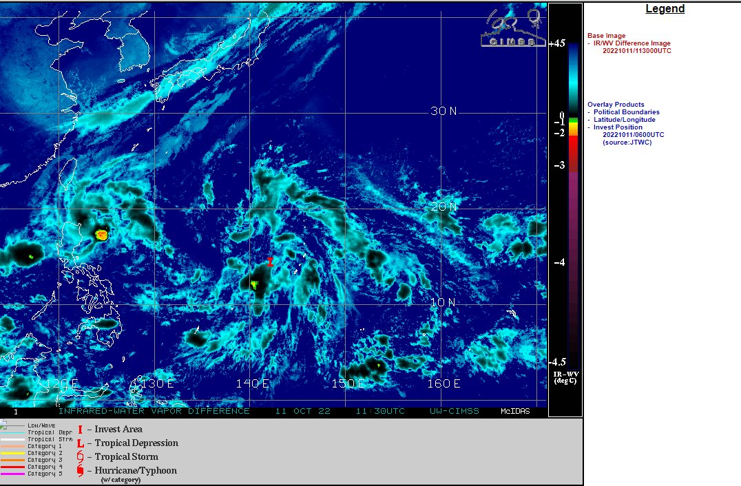
Right: 2 newly designated storms in WestPac.
Left: CMISS NHC-IR imagery of #Invest93L which also covers the southern storm formation area.
Right: 2 newly designated storms in WestPac.

In this CMISS Dvorak plot of #Invest93L data we can see the Southern Storm has much better development opportunities in relation to shear. The Northern storm is on the edge of 50kt shear which is way too much.
And here is a dry air over lay on top of Water Vapour satellite imagery [which as we know is being pushed south by the Arctic Blast].
The high shear and dry air issues ought to inhibit both storms from becoming too hazardous.
The high shear and dry air issues ought to inhibit both storms from becoming too hazardous.

As the sun is just coming up over the area- I will post satellite imagery of both storms before closing off this thread.
In the meantime here is the modelling guidance - track and intensity - for #Invest93L [which can credibly also be considered to be #HurricaneJulia's remnants]


• • •
Missing some Tweet in this thread? You can try to
force a refresh