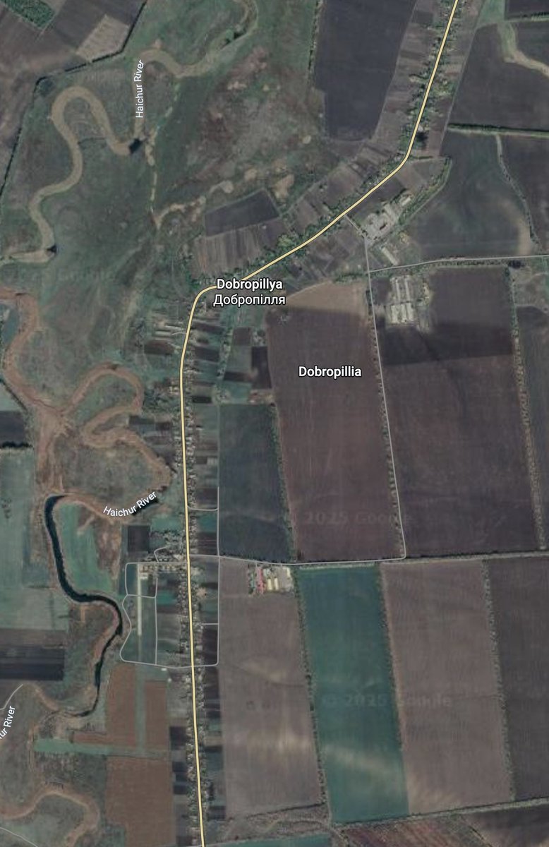
#TalkingPoint #mobilization
There are rising talks about Belarus involvement into the war.
My expectations ~100K would be added to 🇷🇺 forces.
With all the current forces it should make ~1M army.
The main question where all of them could be deployed.
There are rising talks about Belarus involvement into the war.
My expectations ~100K would be added to 🇷🇺 forces.
With all the current forces it should make ~1M army.
The main question where all of them could be deployed.
https://twitter.com/M0nstas/status/1609251830201982977
Where 1M army can be deployed?
There are 5 major directions
1 main objective to fully capture annexed territories🤯
Ignoring Kherson front as impossible for a full-scale invasion over the Dnipro (1M is not enough for that)
Let's explore those directions.
There are 5 major directions
1 main objective to fully capture annexed territories🤯
Ignoring Kherson front as impossible for a full-scale invasion over the Dnipro (1M is not enough for that)
Let's explore those directions.
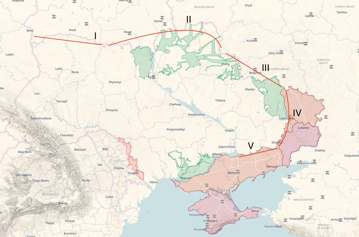
1. Invasion from Belarus towards Lviv. Highly unlikely.
Long supply lines, swampy forested terrain.
The area would be a death trap for a big army 50K+, because of all the complexities.
Impossible to succeed for a smaller group.
Long supply lines, swampy forested terrain.
The area would be a death trap for a big army 50K+, because of all the complexities.
Impossible to succeed for a smaller group.
https://twitter.com/M0nstas/status/1583131079505911809
2. Kyiv in "3" days. Insane but plausible.
The most vulnerable place of the front is E391/M02 road - there are no towns on the way it should be used as a spine for all the offense.
300km to Kyiv makes it almost impossible to repeat the March trip.
500km front wont be easy.

The most vulnerable place of the front is E391/M02 road - there are no towns on the way it should be used as a spine for all the offense.
300km to Kyiv makes it almost impossible to repeat the March trip.
500km front wont be easy.


3. Kharkiv. 3 scales of invasion
Wide arc. Sumy - Kharkiv - Kupiansk. Not for now.
Deep. Vovchansk - Velykyi Burluk - Kupiansk. Useless.
Straight. Urazovo - Kupiansk. Certainly
Kupiansk is a focal point for 🇷🇺 success.
The area is crucial for both sides.


Wide arc. Sumy - Kharkiv - Kupiansk. Not for now.
Deep. Vovchansk - Velykyi Burluk - Kupiansk. Useless.
Straight. Urazovo - Kupiansk. Certainly
Kupiansk is a focal point for 🇷🇺 success.
The area is crucial for both sides.
https://twitter.com/M0nstas/status/1600605307276824600


4. Donbas. Main battlefield.
5 directions for now: Kupiansk, Lyman, Bakhmut, Avdiivka, Novopavlivka.
Bakhmut:
Avdiivka:
Novopavlivka (Mariinka):
Whole front is a meat grinder with 150K capacity.
5 directions for now: Kupiansk, Lyman, Bakhmut, Avdiivka, Novopavlivka.
Bakhmut:
https://twitter.com/M0nstas/status/1560027499714826244
Avdiivka:
https://twitter.com/M0nstas/status/1593353880250859523
Novopavlivka (Mariinka):
https://twitter.com/M0nstas/status/1560678019475259392
Whole front is a meat grinder with 150K capacity.

5. Zaporizhzhia. Land to trade.
45500 km2 chunk of a hostile land, that requires a lot of troops to secure the area.
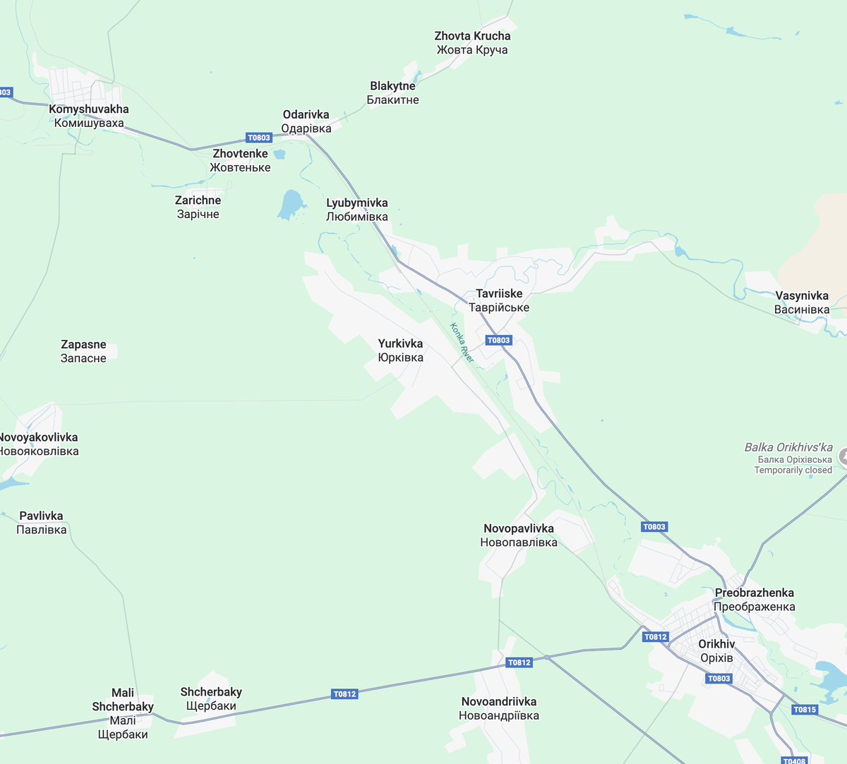
Front line of 160km allows and 3 targets to attack (Orikhiv, Huliaipole, Velyka Novosilka) requires less forces than Donbass.

45500 km2 chunk of a hostile land, that requires a lot of troops to secure the area.
Front line of 160km allows and 3 targets to attack (Orikhiv, Huliaipole, Velyka Novosilka) requires less forces than Donbass.
https://twitter.com/M0nstas/status/1578167928994025472

In a Year after the beginning of the war 🇷🇺 should not be able to sustain anything but infantry.
Dip in the equipment losses should could be enough to maintain enough stuff to replenish current losses with a reserves.
🇷🇺 is somewhere near of equilibrium point in gears.
Dip in the equipment losses should could be enough to maintain enough stuff to replenish current losses with a reserves.
🇷🇺 is somewhere near of equilibrium point in gears.
• • •
Missing some Tweet in this thread? You can try to
force a refresh


