The Cube Profile picture
Mar 26 4 tweets 2 min read
Exclusive:
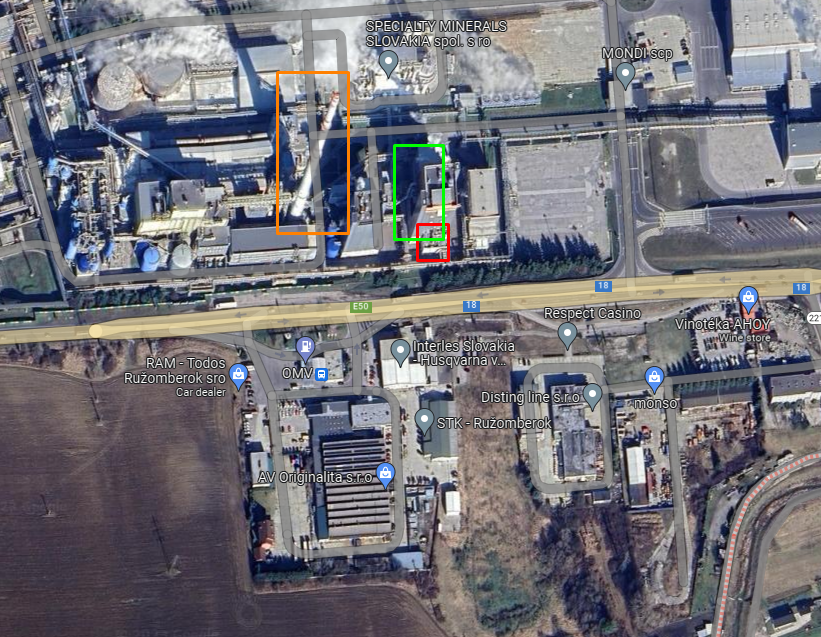
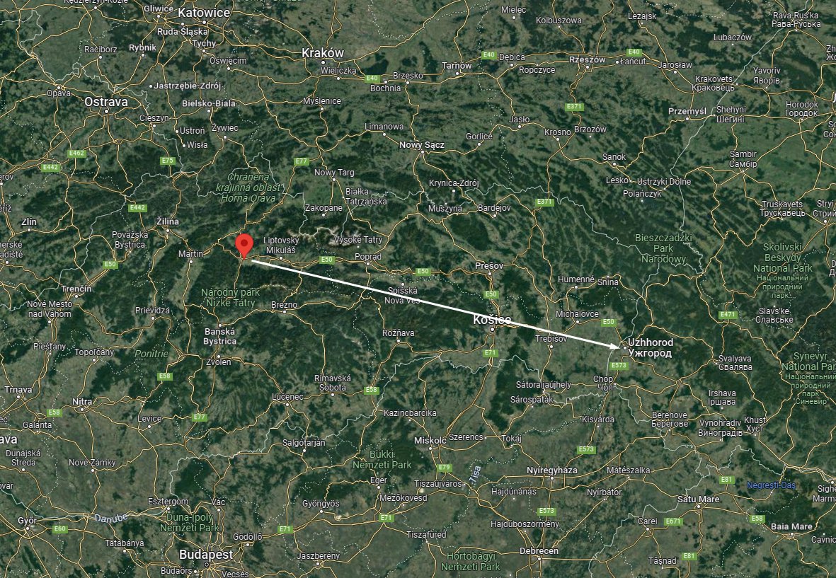
Two Mig-29 Multirole aircraft pass through Ružomberok, Slovakia. Their possible destination Ukraine.

🎯#Geolocation : 49.078567, 19.333529
#Geoverified
📽️
Close-up of the aircraft:
Probably the usual > Michalovce (SK) > Uzhhorod (UA) route.

• • •

Missing some Tweet in this thread? You can try to force a refresh
 

Keep Current with The Cube

The Cube Profile picture

Stay in touch and get notified when new unrolls are available from this author!

Read all threads

This Thread may be Removed Anytime!

PDF

Twitter may remove this content at anytime! Save it as PDF for later use!

Try unrolling a thread yourself!

how to unroll video
  1. Follow @ThreadReaderApp to mention us!

  2. From a Twitter thread mention us with a keyword "unroll"
@threadreaderapp unroll

Practice here first or read more on our help page!

More from @War_cube_

Mar 26
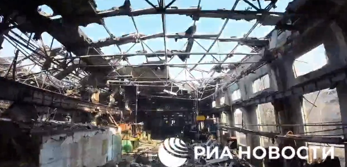
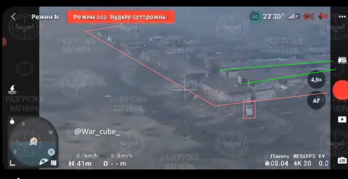
Russian media RIA Novosti shows a tour through Wagner controlled areas of the AZOM complex in #Bakhmut. It shows Wagner forces in full control of the metals factory.

🎯#Geolocation: 48.612731, 37.992830

#GeoverifiedImageImageImageImage
Geolocations from the report:

Locations prove Wagner is in control of most of the AZOM complex, if not all of it. Image
Source footage:


I'd have to break all this down to upload it so I quote tweeted it.
Read 4 tweets
Mar 24
❗️AFU are forced to take an alternative track route to avoid the mig-17 monument in #Bakhmut. It is reported that heavy fighting is taking place in the vicinity.
Read 4 tweets
Mar 24
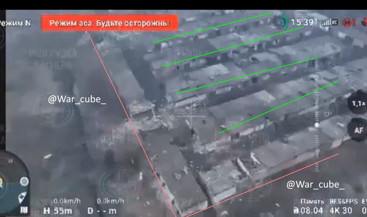
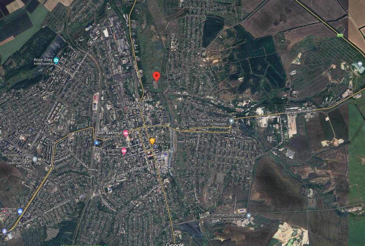
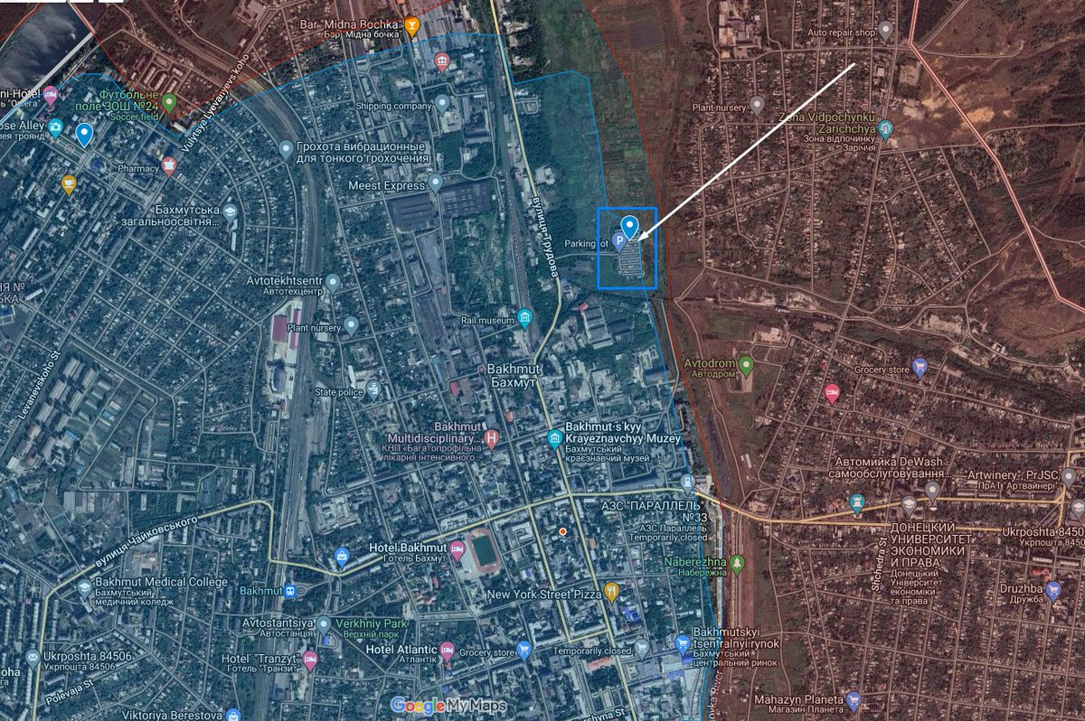
Wagner shelling fortified #Ukrainian positions in #Bakhmut. Video considered very recent.

🎯#Geolocation : 48.603451, 38.004341

#GeoverifiedImageImageImageImage
📽️
Map: Image
Read 5 tweets
Mar 24
Footage shows Ukrainian units combing and occupying a building in #Bakhmut along Korsunskogo Street. Video at least 3 days old.

🎯#Geolocation : 48.57656, 37.96897

#GeoverifiedImageImageImageImage
📽️
NOTHING TO SEE HERE GUYS, I REPEAT, NOTHING TO SEE HERE! ImageImage
Read 4 tweets
Mar 23
1/ Possible Ukrainian offensive on the #Kherson front, involving the crossing of the Dnipro river.

Recent geolocations from 2023 have shown the Ukrainians occupying part of Potemkin island, part of a small island chain between both banks of the Dnipro.
Which would mean that at some point, the Ukrainians have already crossed one half the Dnipro river. Geo: 46.562541, 32.503478

Videos have also showed the Ukrainians training on the formation of water barriers and crossing rivers, which would be necessary in order to launch an attack over the Dnipro river.
Read 8 tweets
Mar 22
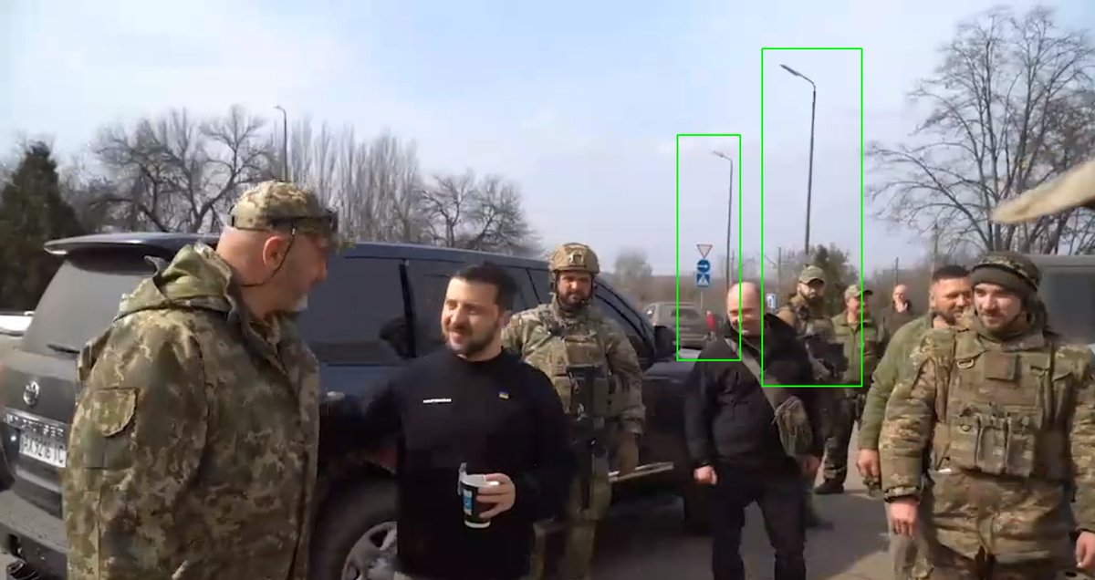
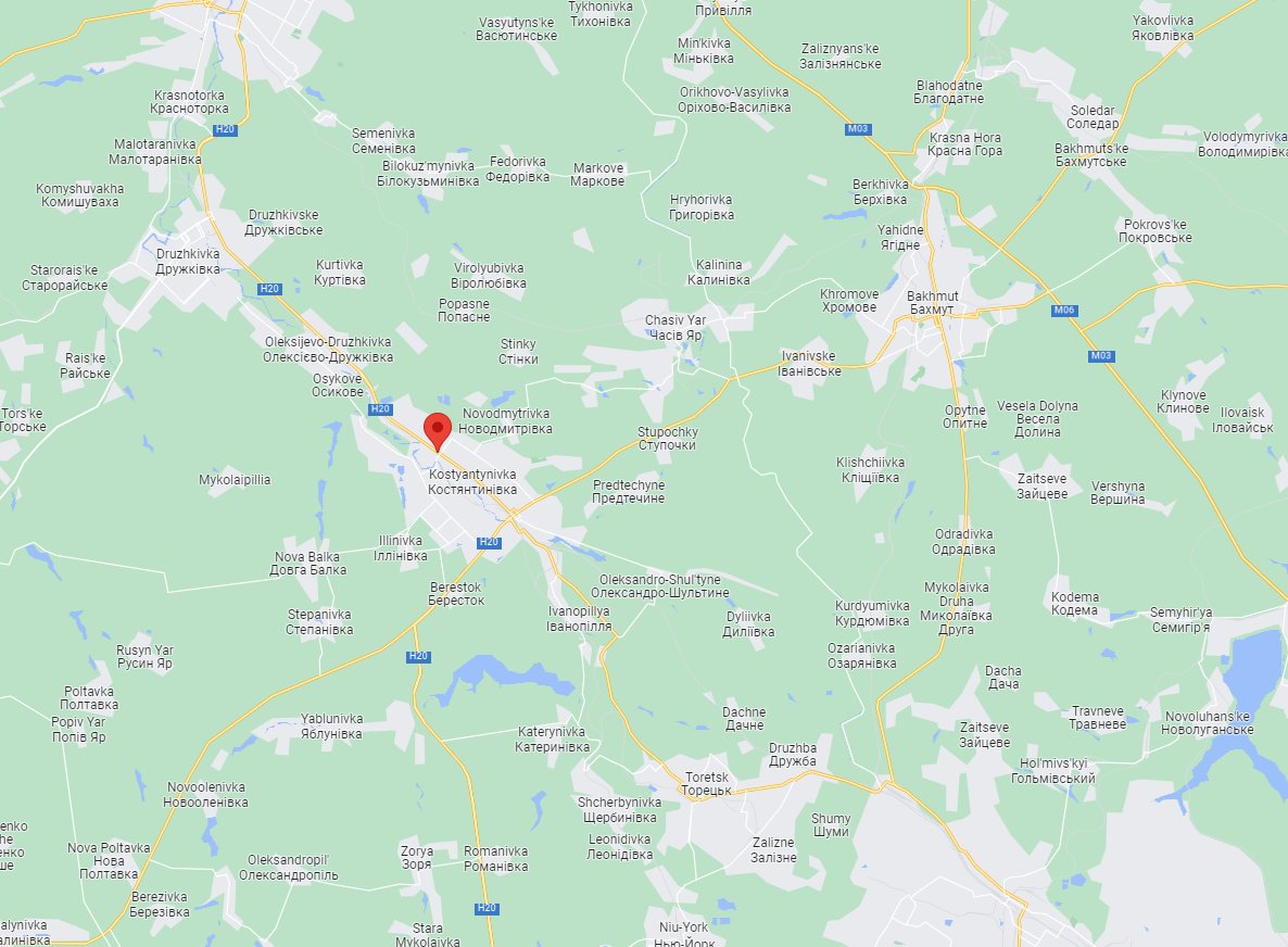
Ukrainian president Zelensky visited Okko fuel station in Ukrainian-controlled Kostyantynovka.

🎯#Geolocation : 48.537293, 37.684978

#GeoverifiedImageImageImage
Map: Image
Read 5 tweets

Did Thread Reader help you today?

Support us! We are indie developers!


This site is made by just two indie developers on a laptop doing marketing, support and development! Read more about the story.

Become a Premium Member ($3/month or $30/year) and get exclusive features!

Become Premium

Don't want to be a Premium member but still want to support us?

Make a small donation by buying us coffee ($5) or help with server cost ($10)

Donate via Paypal

Or Donate anonymously using crypto!

Ethereum

0xfe58350B80634f60Fa6Dc149a72b4DFbc17D341E copy

Bitcoin

3ATGMxNzCUFzxpMCHL5sWSt4DVtS8UqXpi copy

Thank you for your support!

Follow Us on Twitter!

:(