
Weather is my speciality here. Tracking Canes, Snowstorms, Severe WX. Occasional Storm Chaser. I’m dumber than I sound at times
 Edge of the high risk btw too and the risk for 3-6 and 4-8” of rainfall definitely exists for MA particular around and S of 495. So if you hear PA-CT that doesn’t mean MA is not as risk to see life threatening flash flooding because we most certainly are even if there is a...
 As I mentioned before FGEN banding setup will create forcing and lift in the atmosphere and along that front we’ll have to look for prolific rainfall rates being setup. Imagine in a winter storm where areas that get the most banding we’ll see the most snow but surrounding…

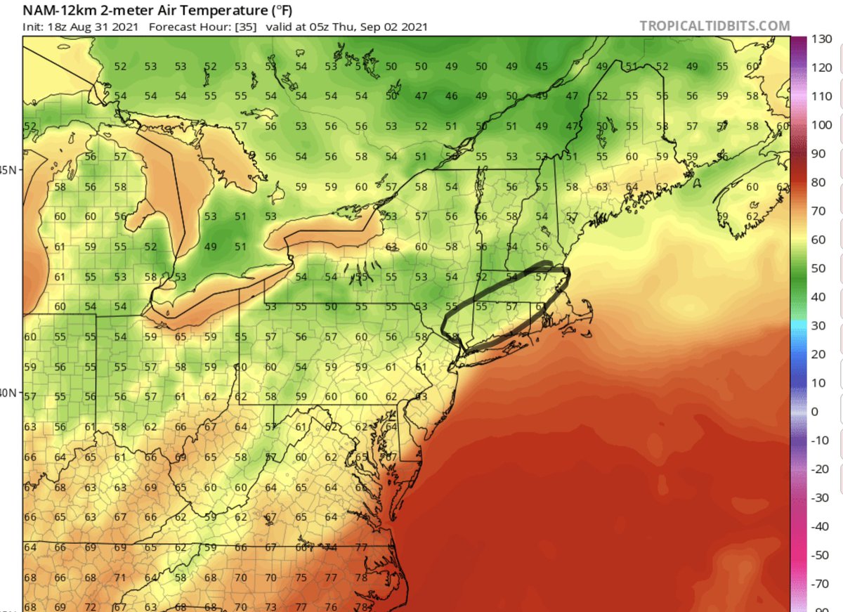
 As Ida will be undergoing baroclinic process and transitioning from a tropical depression into a extratropical storm we’ll actually see some similarities to a winter storm. Warm air advection will be playing a part in aiding Frontogenesis tomorrow across the Northeast as…