
Prof. (Em.) of Medieval Archaeology, University of Cambridge. Early medieval landscape archaeology, common rights, resilience.
@drsueoosthuizen@bluesky.social
 The term ‘open fields’ has become shorthand for large (often huge) areas of arable, subdivided into unhedged blocks (‘furlongs’), subdivided in turn into narrow strips (‘selions’). #medieval #landscape. /2
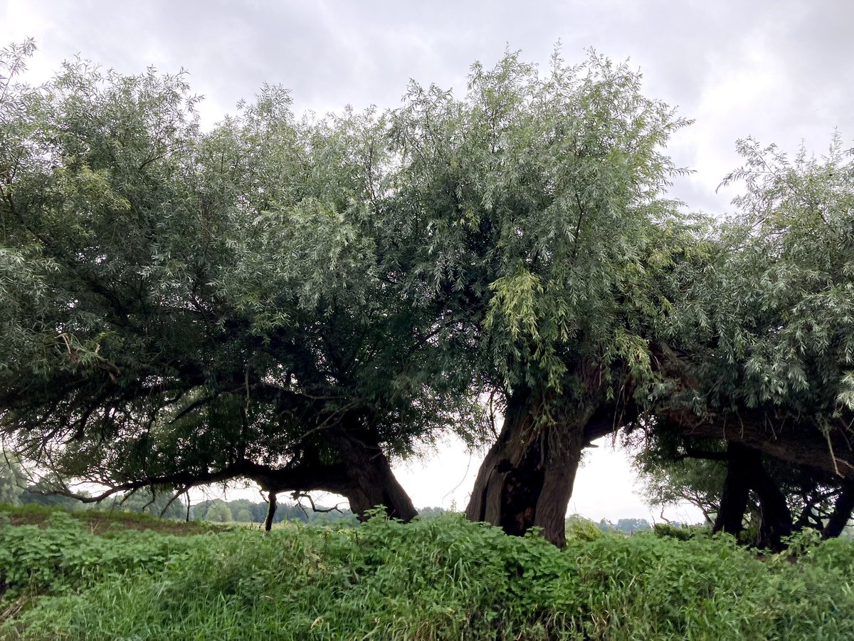 2. Most obviously, willows are trees that prefer damp conditions so they’re often planted along rivers, streams & canals so that their root systems will help to keep the banks stable in times of flood (photo: John Sutton). But that’s the least interesting part of their story.


 2. The fields were full of water despite being at the top of the hills - too flat to drain well, studded with small pockets of low land that made temporary ponds..
 2. All that’s left today is this small grassy area and duck pond at the centre of the village - jam-packed with signals to its communal function: village sign, gritting box, benches, litter bin, & a bus stop just out of shot on the L. The 19thC OS map shows even more of them ...
 2. ...founded within a generation of the Conquest. Today, only the priory chapel remains. It was converted into a barn & remained in agricultural use until the mid-20thC.
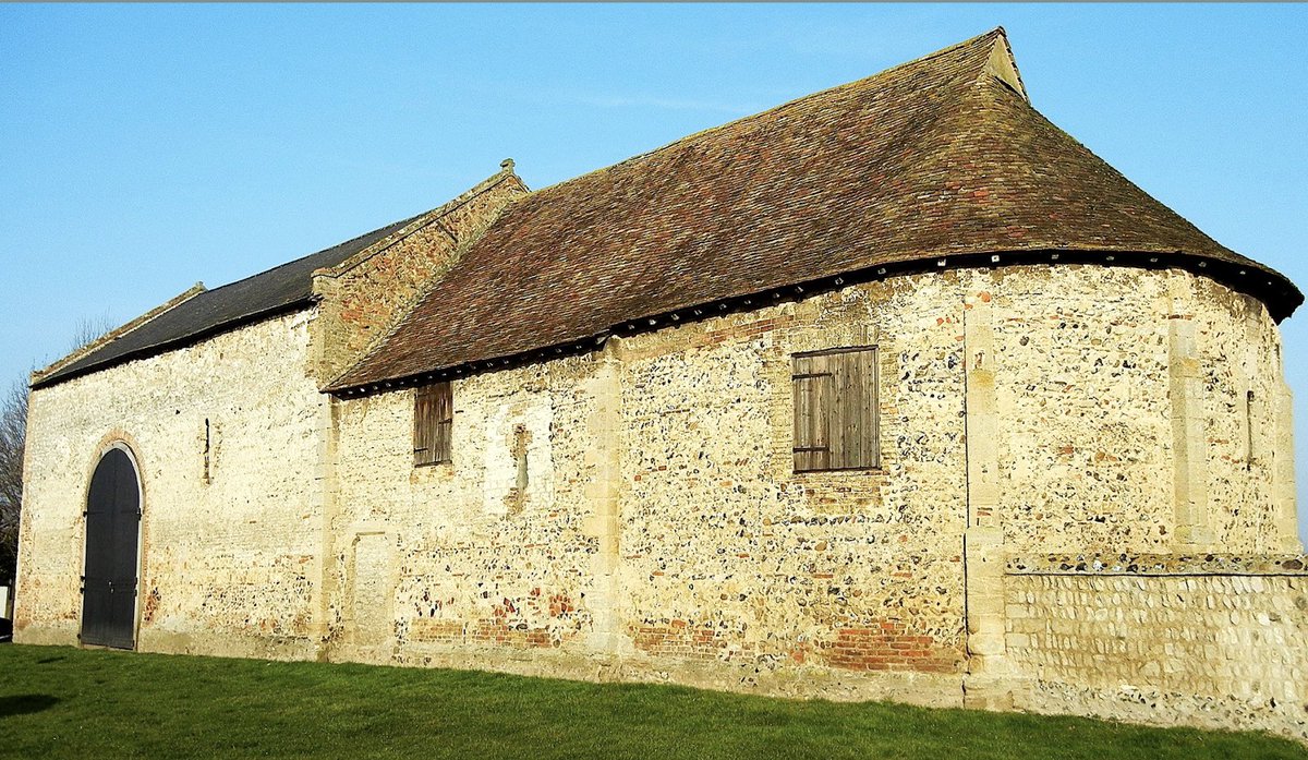

 It lies in the same #common wetland grazed by the whole of the #medieval Soke of Peterborough; that was the early medieval common pasture of the 5th/6thC Gyrwe (‘fen people’); & which, @PryorFrancis’s work suggests, had been common through prehistory.
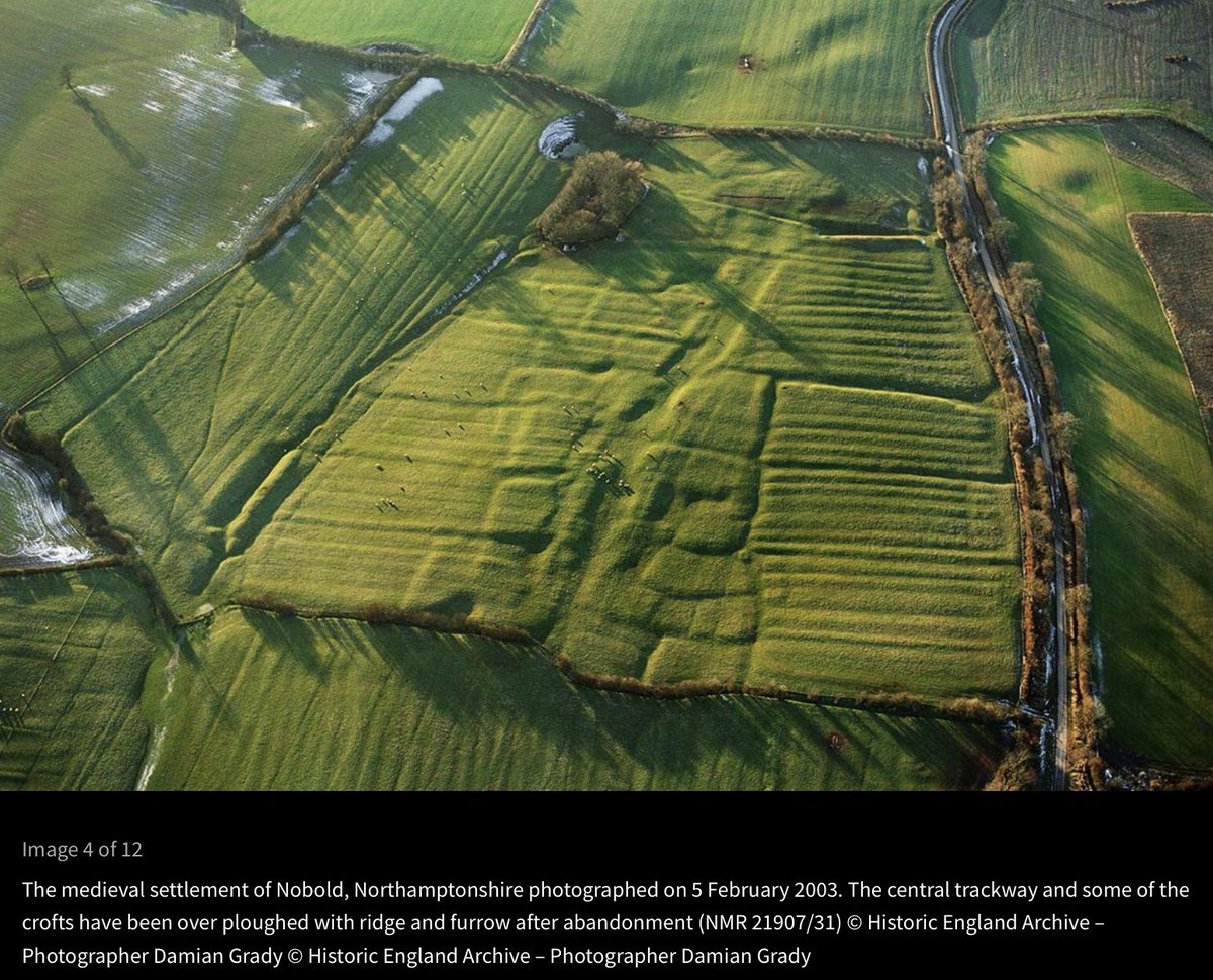 2. You can tell ploughing happened after the village was abandoned as the blocks of ridges are bounded by the ditches that divided one property from the next. Is it possible to tell when it was abandoned? Well, maybe ...
 2. ... 1066. As you can see, there were 24 of them & they were all free men - they could grant and sell their land without permission from anyone else. They didn’t ‘belong’ to a manor, but farmed independently.

 2. Most people in rural prehistoric and Roman Britain tended to live in farms and hamlets dispersed around the landscape (though for a qualification of this generalisation see Christopher Taylor’s 1983 Village & Farmstead). Take the archaeology of Doddington, Northants 👉....
 2. Here’s a modern (1980’s) map of Pockley in N Yorks. which, Taylor explained, had previously been described as ‘an unplanned village of elongated form’. He took a closer look and came up with a quite different interpretation...

 Day 2 of 7 in #PhotosOfMyLife: a picture a day for a week, no people, no explanations. Rules: no words, no people.
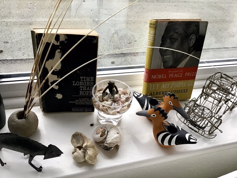
 2. There were more people making enough in the early 14thC to be liable for tax than almost anywhere else in England, and the average community was among the wealthiest n the country. So where did their money come from?

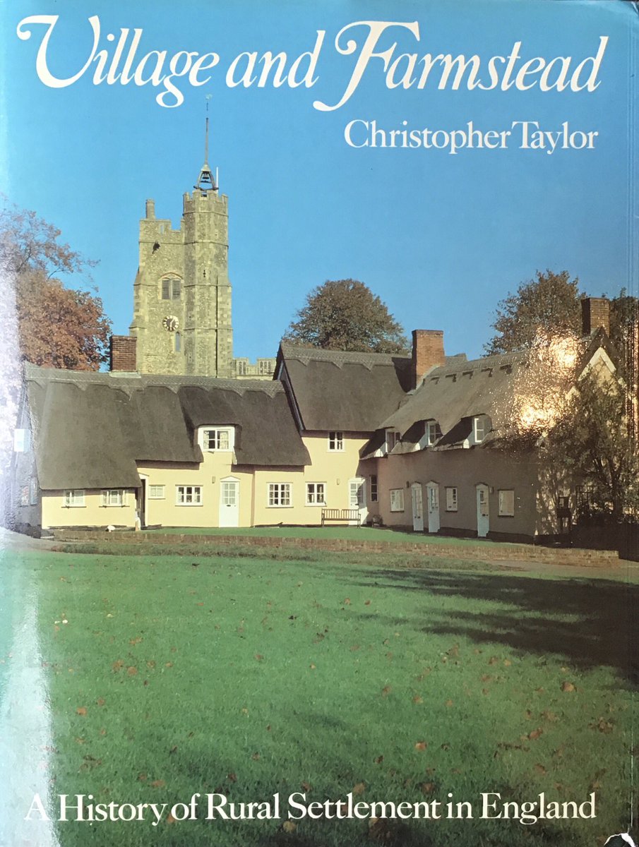
 No. 1 is Christopher Taylor’s beautifully written, highly readable history of the English landscape - ahead of its time in 1983, still the best introduction today & quite ridiculously cheap secondhand. It far surpasses Hoskins, wonderful though the latter was in its time.

 2. Altho the one I’m interested in (around the crossing of the R Nene) is called March today, it was called Mercheford in 1249-50 when it was 1st recorded. The 13thC place called March lay about a mile to the S around the church near the bottom of the OS map.

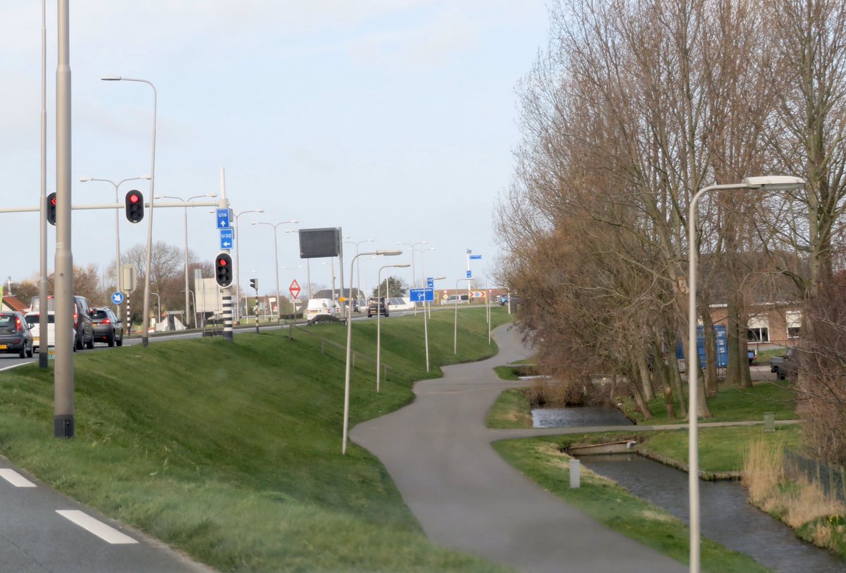
 2. .. to protect the low-lying coast to the N from flooding. You can see the road running from top L towards bottom R on this topographical map, coloured to show height above sea level. Almost everything behind the dyke is at sea level...