Tom Armitage Profile picture
Data Viz, Maps & GIS. Tech Writer for MapTiler. FOSS4G UK 2019 Co-Chair. Honorary Fellow of the University of Edinburgh GeoSciences. Views are all mine.
May 4, 2021 9 tweets 4 min read
I did a comparison of the different hill shading tools in #QGIS and got some amazing results. Each one was blended with a DTM to give a bit of depth. Have a look at this thread for details on the 7 ways I tried, these are the most interesting. 1/n 
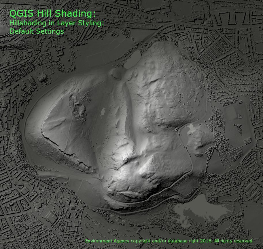
I was using a DSM of Arthur's Seat in Edinburgh. The first method was the most simple, just switch to Hillshading in the Layer Style Panel. Not bad, but a bit low on contrast. 2/n
May 3, 2021 4 tweets 3 min read
I've been looking at animating vector data in #QGIS with the Temporal Controller instead of the Time Manager. I started with @tjukanov's brilliant exercise: medium.com/@tjukanov/geog…
I wanted icons not circles, but Icons have directionality & I wanted them to face the right way Thanks to @HeikkiVesanto giving me the code to find out the direction to the next point in a sequence:
...which I wrapped in a function to convert to degrees, I could use a Data Defined Override to set the rotation.