Using data & remastered historic photos to document the destruction of communities of color by redlining, urban renewal, & freeways. Also potential solutions.
4 subscribers
How to get URL link on X (Twitter) App


 More on Sugar Hill here: segregationbydesign.com/los-angeles/su…

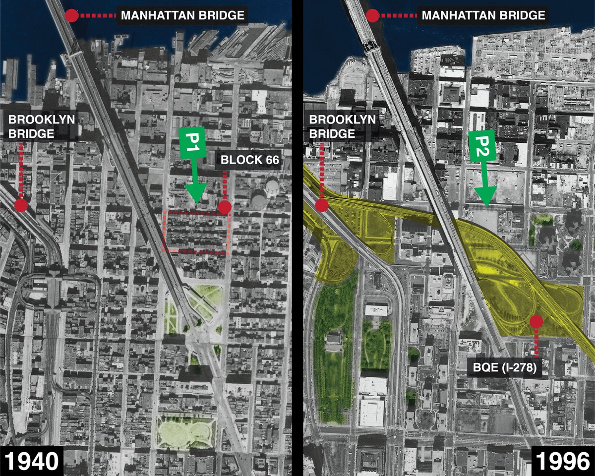
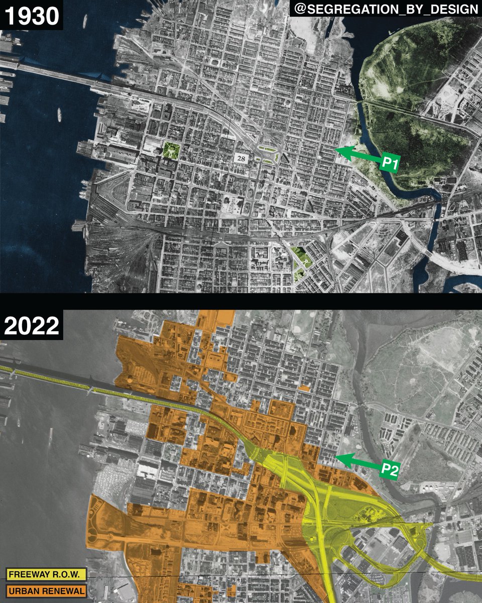
 Downtown housed tens of thousands of low-income residents working at the nearby docks and Navy Yard. After the highway and renewal projects (and until relatively recently), the neighborhood had been transformed into a 9-to-5 business district.



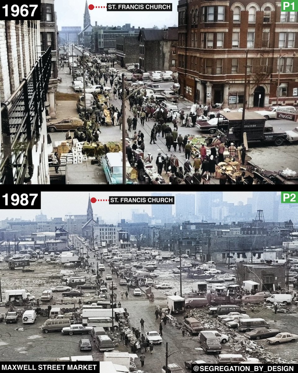
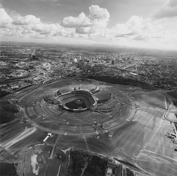
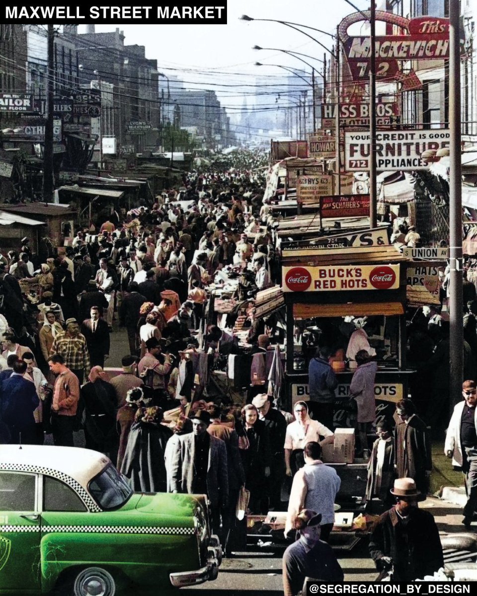
 Reaching its peak during the first half of the 20th century and featuring items for sale from all over the world, the Market was also the birthplace and incubator of the Chicago Blues.

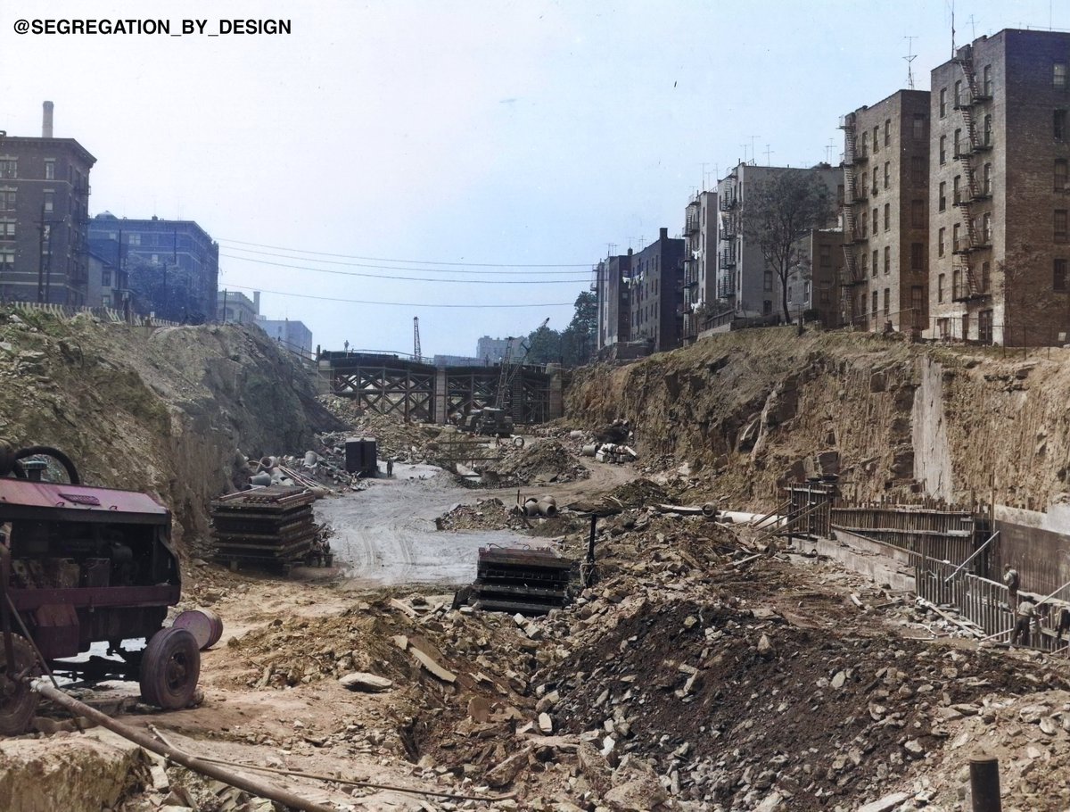
 The Mecca was one of thousands of residential buildings destroyed during federally-funded “urban renewal and slum clearance,” along with the thousands more destroyed for the nearby Dan Ryan Expressway.
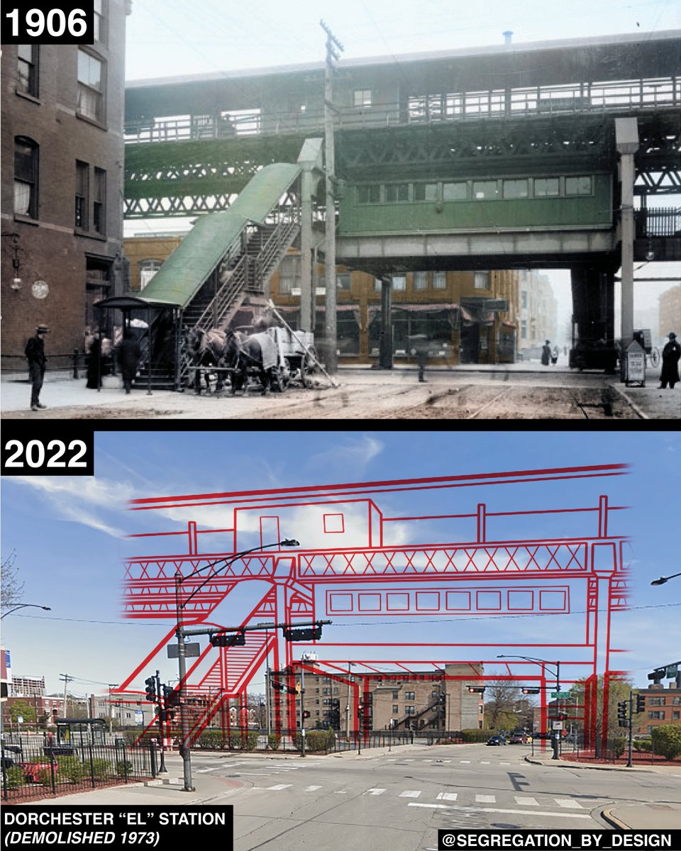
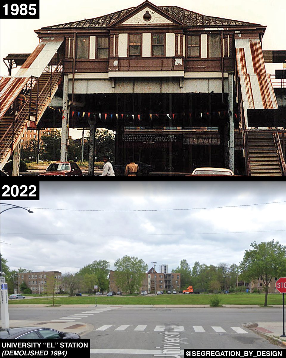
 Rail transit was another casualty of the fed govt’s effort to create a white, car-based suburbia. While local transit systems provided mobility within the city, the govt plowed highways through urban neighborhoods for mobility OUT of the city—to the racially-restricted suburbs.
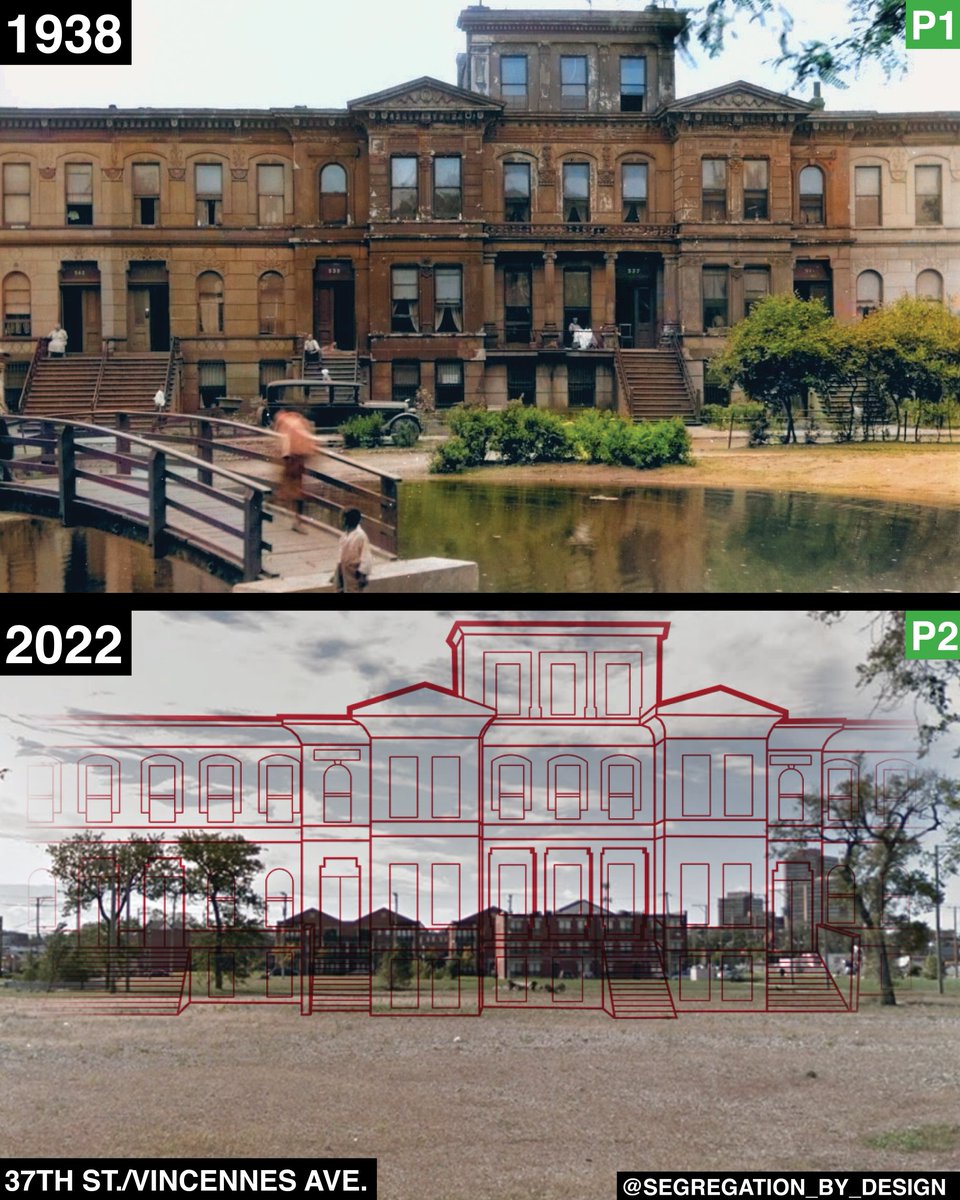
 Among the many Bronzeville businesses was the Pekin Theater, seen here, the first Black-owned musical theater in the US, founded in 1905. By the 1930s as the CHA was seizing property the neighborhood, the building had been converted into the 3rd District Police Station and Jail.
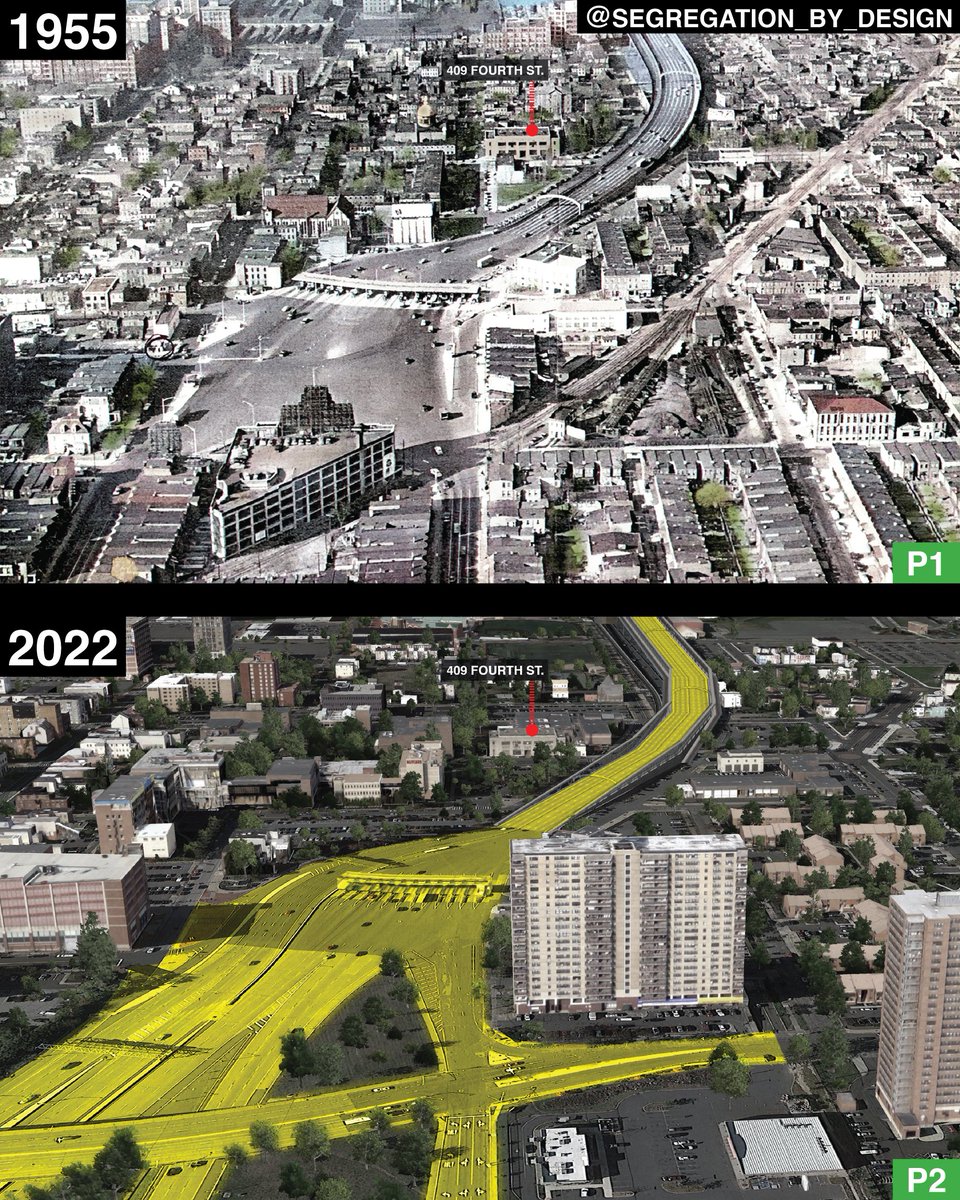
 Before WWII, Camden had grown as an industrial center due to its proximity to Philadelphia and its railroad connections to the rest of the eastern seaboard. Much like its neighbor Phil, Camden’s waterfront was home to working-class mix of European immigrants and African-Americans


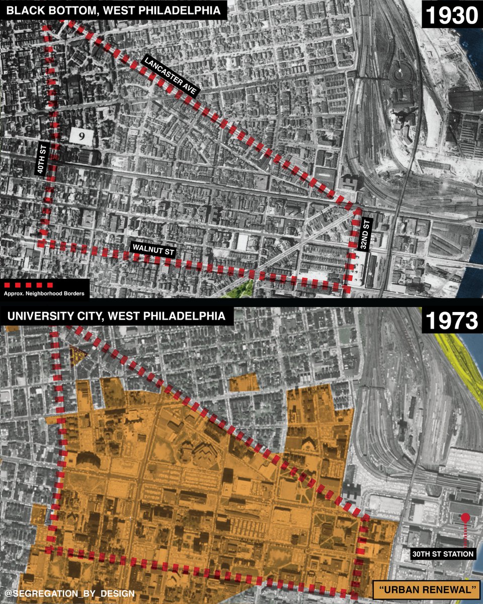
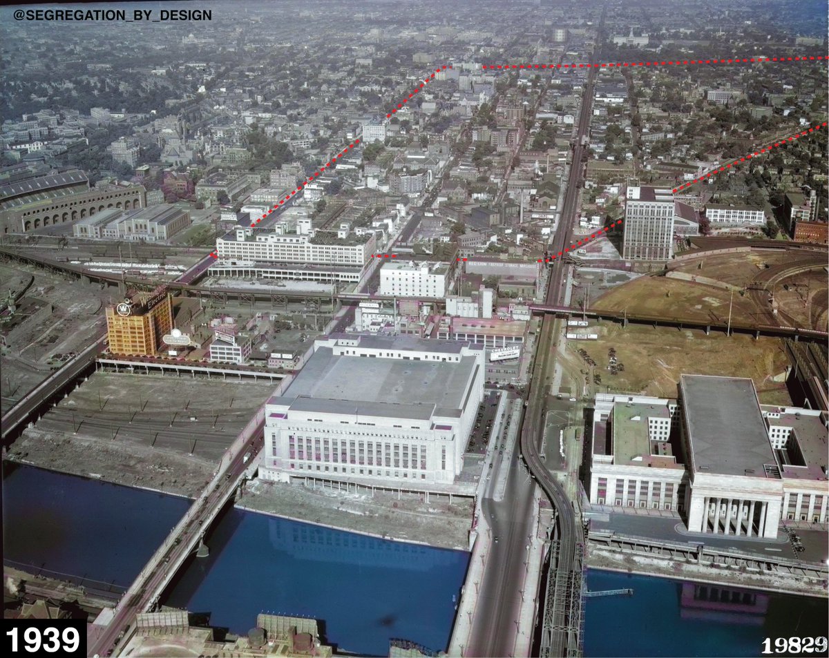
 Black Bottom is outlined in this colorized 1939 photo. Despite the organization and protest from local residents and sympathetic students, ultimately the neighborhood was lost to the “federal bulldozer” of urban renewal. James Baldwin noted: “Urban renewal means Negro removal.”