 If pinpointing where the X marks the spot by overlaying both Sentinel-1 and Sentinel-2 images, we're guided to this small spot with light colored items.

 For now it is just the antitank-ditch complete with a few 'strongholds' along the way. It is highly likely to evolve in the liking of the trench line built in Luhansk: likely next to appear will be infantry trenches and with time dragons teeth accompanied by mine fields.
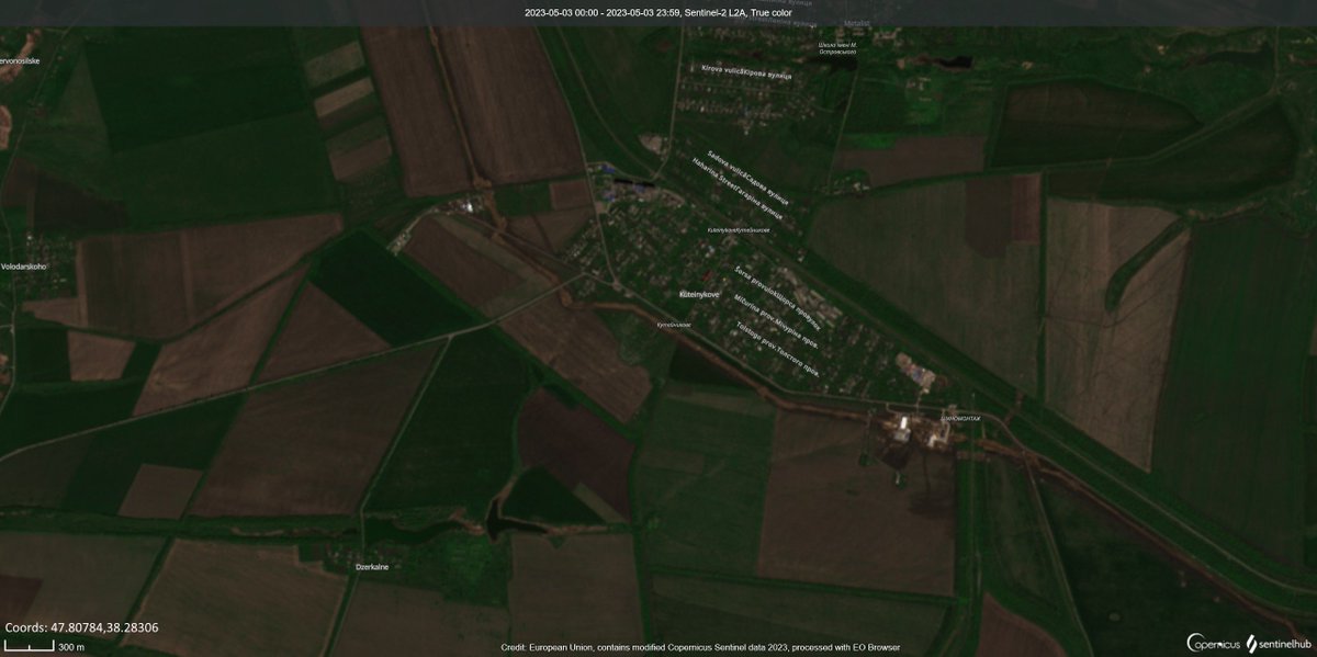

 The project has been going on already for over a month now and mostly all AT-trenches are now ready. Placement of dragon's teeth is still taking place and almost no infantry trenches have yet been completed in the most important strategic chokepoints.
 Let's start by looking at the first three ones. This timelapse covers three distinct trench complexes by the P-47 road (direction from north-west to south-east).
 The apple maps picture gives us an idea of what is there.

 In a general timelapse of the base located at (45.57566, 34.28548) the transformation can clearly be seen. There are three zones that stick out quite clearly by the amount of moved earth: