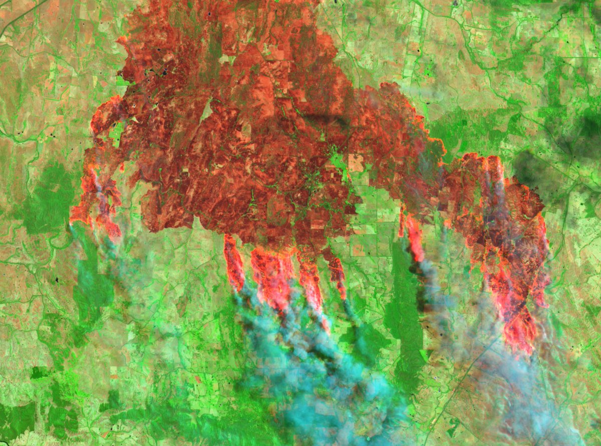
In Jan 2018, Turkish forces launched Op Olive Branch in #Afrin which saw indiscriminate attacks killing "scores of civilians" & leaving more than 160K IDPs. In this open source case, we found a component of the offensive was Italian-made T129 ATAK helis. #ItalianArms Thread 👇
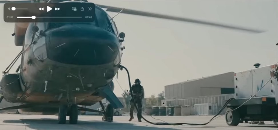
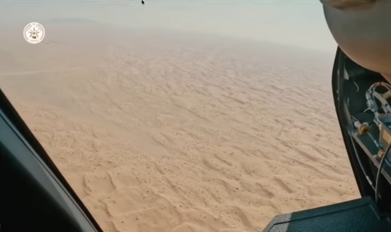
We investigated hours of video content to analyse the destructive use of the Italian T129 in #Syria's Afrin. Here @thomassmulder geolocated this video () - goo.gl/maps/K7nraY94K… 2/ 


This T129 firing in #Syria's #Afrin was part of an offensive which saw "vulnerable civilians facing displacement and death because of the way Turkey’s latest offensive is being conducted" - one which #Turkey's President Erdoğan declared 'a siege' that 'would cut external aid' 3/
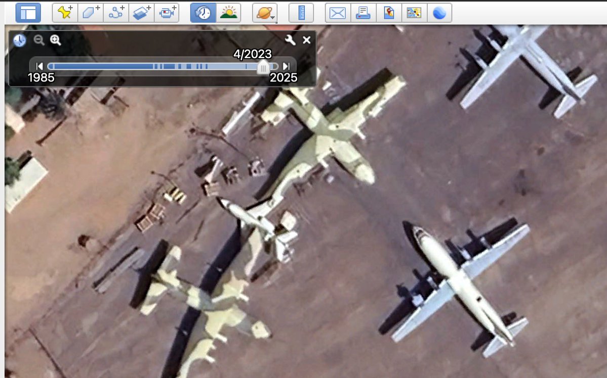
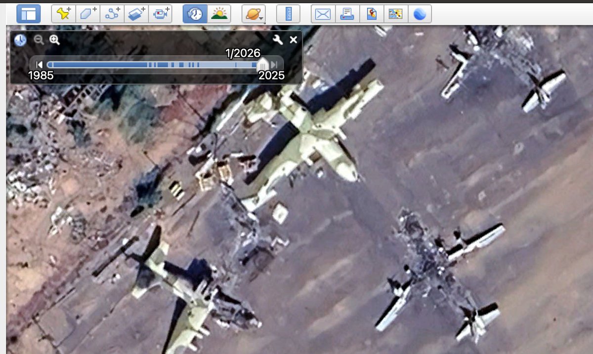
The deal for the Italian-made Leonardo T129 combat helicopters was confirmed in 2008 and at least 10 of them were shipped to Turkey between then and 2017. #ItalianArms @LHreports jamestown.org/program/turkey… 4/

In our social media dive @trbrtc and @LeoneHadavi at #ItalianArms were able to identify the characteristics of the T129, where they were used, and how often they were used. We could also see on @instagram that training was provided by #Italian pilots. @LHreports @bellingcat 5/
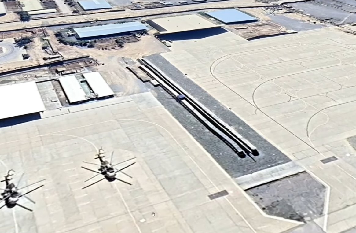
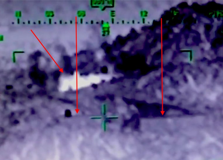
Another video we found showed the destructive capacity of this Italian-made weapon system as it fired into a possible YPG outpost. We were able to geolocate this video to Ma‘mal Ūshāghī in #Afrin, #Syria goo.gl/maps/Lya2SAsyc… #ItalianArms 6/
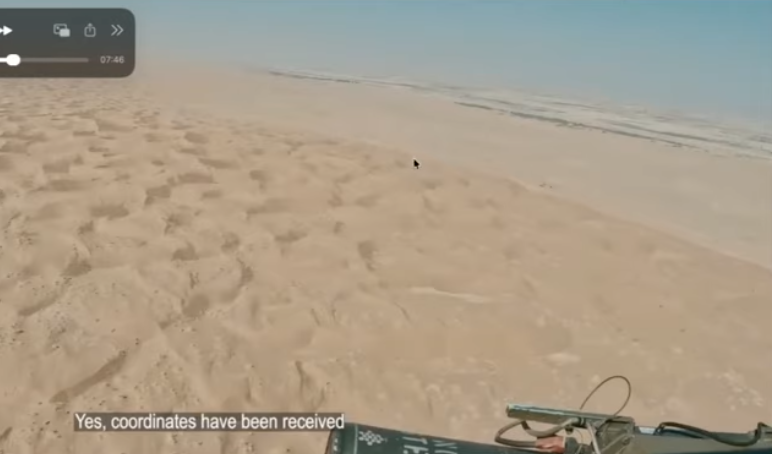
To find the location of this video (), we had clues in the footage: in the bottom right we have the military grid reference system (h/t @Timmi_Allen, @RawanSSA18 & @trbrtc), and in the top of the image we have an indication of direction. #ItalianArms 7/

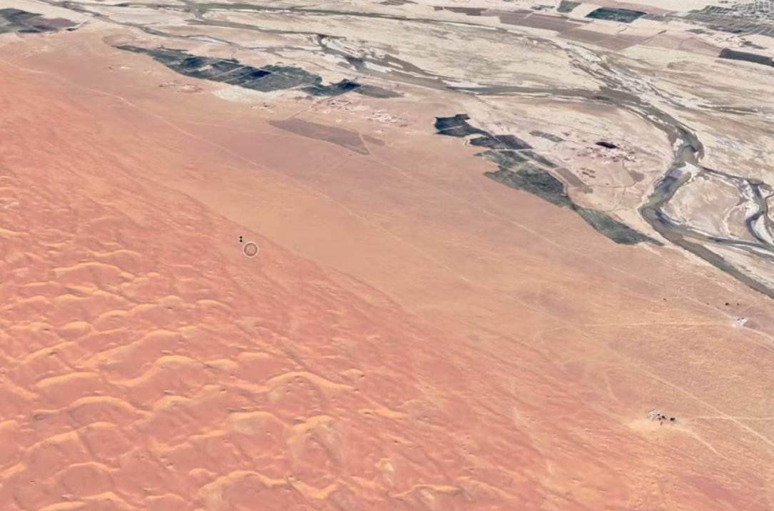
The T129 fired upon the buildings on this ridgeline (goo.gl/maps/BPoMVv2Aj…). @trbrtc found the rocky outcrop isn't represented on maps, but we can see the shadows it provides, which indicates its depth. To find more defined shadows, we can scroll back through @googleearth. 8/


By altering levels in the screenshots of the infrared video, we can analyse some of the components easily and identify straight, unnatural lines. In this case, they represent the outline of the buildings present on the crest on the mountain. #IMINT @bellingcat #ItalianArms 9/
The results of this investigation we carried out as part open source workshop & part #EUArms investigation were published with Italian investigative media @reportrai3 (you can view in English here: ) 10/ #ItalianArms @LHreports
https://twitter.com/reportrai3/status/1075777899301490691
We still have to verify this video that we came across - which we suspect was also footage from #Afrin (TY for your prior efforts @AKMcKeever 🤓) #ItalianArms @bellingcat @LHreports 11/ ()
In this video, we also have some clues that would match its 'jigsaw piece' on @googleearth, namely, we can see the empty space, road, orchard and houses. If you are up for an open source challenge, give it a crack 🖖 #OSINT #ItalianArms @LHreports @bellingcat 12/


For the indication of direction, figures may represent a view that would point to 225 degrees. Accurate measurements can be made by downloading a transparent compass (google.com/url?sa=i&sourc…) and inserting it in GE as an image overlay. 13/

• • •
Missing some Tweet in this thread? You can try to
force a refresh