THREAD: Over the coming days and weeks, we are likely to see a lot of idle speculation about what is going on in the China-India border region.
Here are 5 QUESTIONS that people should be asking themselves as they consume and analyze reports. 1/18
Here are 5 QUESTIONS that people should be asking themselves as they consume and analyze reports. 1/18
Q1. What is the source of information?
Because large sections of border region are closed to the press and public, only 3 real sources: One is the Indian military and gov't (who brief the Indian media). Second is the PLA and Chinese officials, disseminated via PRC media. 2/18
Because large sections of border region are closed to the press and public, only 3 real sources: One is the Indian military and gov't (who brief the Indian media). Second is the PLA and Chinese officials, disseminated via PRC media. 2/18
The third is independent geospatial imagery, but this is limited by resolution & (importantly) requires interpretation by those with the necessary GEOINT training to accurately identify developments on the ground. 3/18
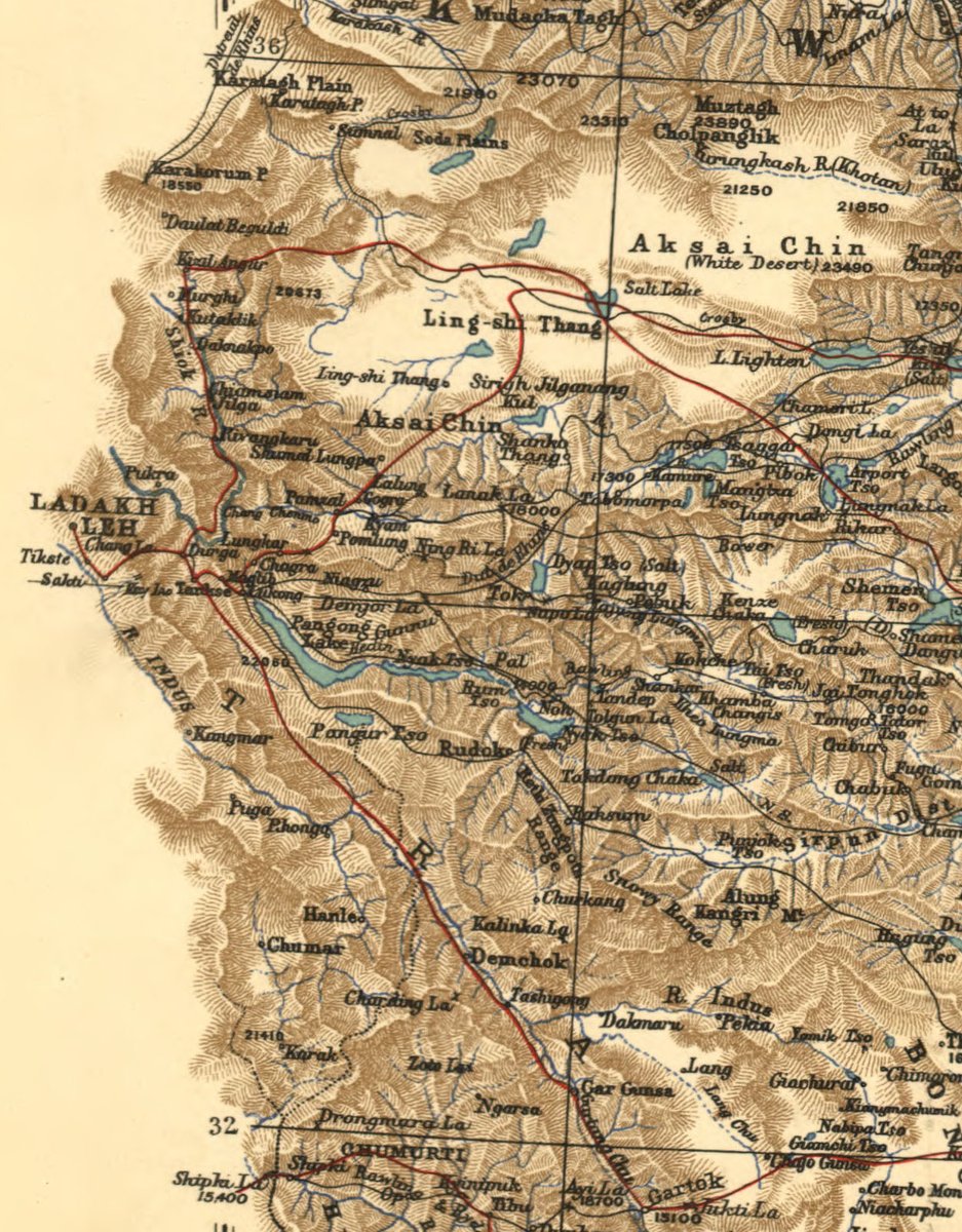
Q2. What sector is the stand-off taking place?
I. The western sector in Jammu & Kashmir is least clearly demarcated. Frequent flashpoints include (N to S):
a. Daulet Beg Oldi/Depsang Plain/Chip Chap River
b. Galwan River
c. Kongka La
d. Pangong Lake area
e. Demchok
f. Chumar
I. The western sector in Jammu & Kashmir is least clearly demarcated. Frequent flashpoints include (N to S):
a. Daulet Beg Oldi/Depsang Plain/Chip Chap River
b. Galwan River
c. Kongka La
d. Pangong Lake area
e. Demchok
f. Chumar
The first four areas all saw fierce fighting during the 1962 war (and before in some cases). These are also areas where China advanced two different claim lines, first in the 1950s, and then in 1960. In 1962, Chinese forces overran Chip Chap, Galwan, and some areas around Pangong
Depsang of course saw the stand-off of 2013.
Demchok and Chumar have also seen prolonged stand-offs recently including in 2014. 6/18
Demchok and Chumar have also seen prolonged stand-offs recently including in 2014. 6/18
II. The middle sector features smaller territorial disputes in Himachal Pradesh and Uttarakhand. These include the area around Shipki-la in HP, as well as Nilang-Jadhang, Barahoti, Sangchamalla and Lapthal, which are the areas beyond Gangotri and the Nanda Devi massif. 7
III. The eastern sector includes the areas of Sikkim and Arunachal Pradesh. This area is better demarcated. Agreements in 1890 and 1906 defined the boundary between Sikkim and Tibet. Sikkim's status was recognised by China in 2003. 8/18
The border along Arunachal Pradesh was formalised in 1914 creating the McMahon Line. The basis was the watershed, but there were points of difference between the actual watershed and treaty maps. LAC perceptions differ in several areas from Tawang eastwards. 9/18
The reason I go into detail here is that I've seen reports and analysis in third countries that conflate developments in the various sectors, when they are at some distance from each other and have their own dynamics. 10/18
Q3. Is a third country involved?
This relates to the matter of trijunctions, as was apparent during the Doklam stand-off of 2017 and the India-Nepal Kalapani dispute. But conceivably also relates to Myanmar, Pakistan, and Afghanistan (given Indian claims). 11/18
This relates to the matter of trijunctions, as was apparent during the Doklam stand-off of 2017 and the India-Nepal Kalapani dispute. But conceivably also relates to Myanmar, Pakistan, and Afghanistan (given Indian claims). 11/18
According to the Indian government, India and China "had in 2012 reached agreement that the tri-junction boundary points between India, China and third countries will be finalized in consultation with the concerned countries." 12/18 mea.gov.in/press-releases…
Q4. On whose side of the Line of Actual Control (LAC) are developments taking place in?
This simple question is complicated by the fact that the LAC is ambiguous in several areas, with differing Chinese and Indian perceptions. Protocols had been established to address this. 13
This simple question is complicated by the fact that the LAC is ambiguous in several areas, with differing Chinese and Indian perceptions. Protocols had been established to address this. 13
LAC ambiguity is due to different bases for Indian and Chinese claims.
They include:
a. Customary (historical) claims
b. The watershed principle
c. Prior treaties and agreements
A further complication: inexact surveying and treaty maps from the 19th & early 20th centuries. 14
They include:
a. Customary (historical) claims
b. The watershed principle
c. Prior treaties and agreements
A further complication: inexact surveying and treaty maps from the 19th & early 20th centuries. 14
For this reason, we sometimes see very different descriptions in the press and academic literature of the same place (e.g. ridge, valley, etc.) as being on either the Indian side of the LAC or the Chinese side. This was a problem in the lead up to 1962 too. 15/18
Q5. Is either side making changes to the territorial status quo, such as by creating permanent installations in a disputed portion of the LAC?
This was the case during the 2013 Depsang stand-off. It also featured in the 2017 Doklam stand-off. 16/18
This was the case during the 2013 Depsang stand-off. It also featured in the 2017 Doklam stand-off. 16/18
Final point: we will see some pretty wild speculation as to the immediate and long-term causes of the current stand-off. Going by past experience (1950s, 1962, 1980s, 2013, 2014, 2017), many of these interpretations - however plausible sounding - will be off-the-mark. 17/18
The reality is that at present, there is far too little in the public domain to make informed assessments about the motivations and drivers that lead to India-China frictions in different areas. 18/18
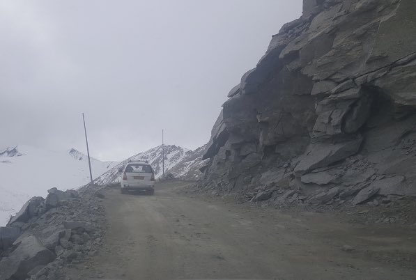
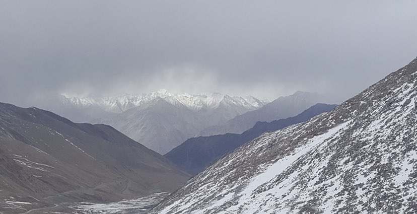
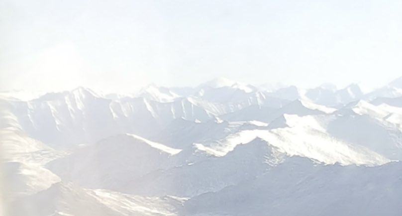
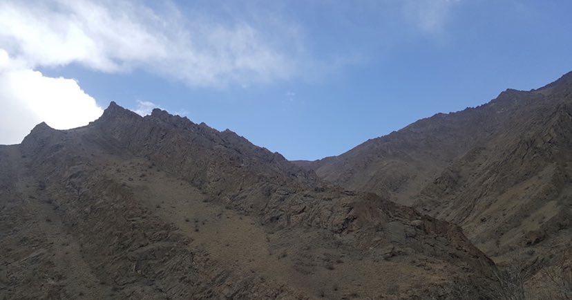
I didn’t expect this thread to be so widely appreciated. Here are a few photographs I took two years ago from the general vicinity in Ladakh, just to give a sense of the terrain.