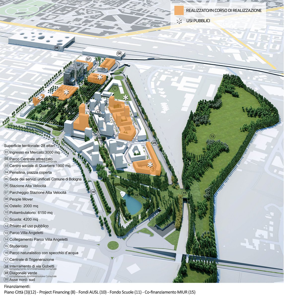
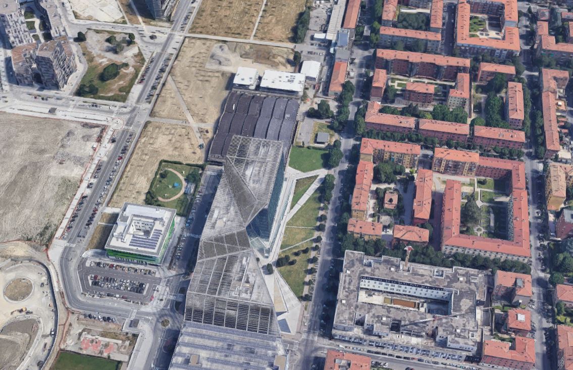
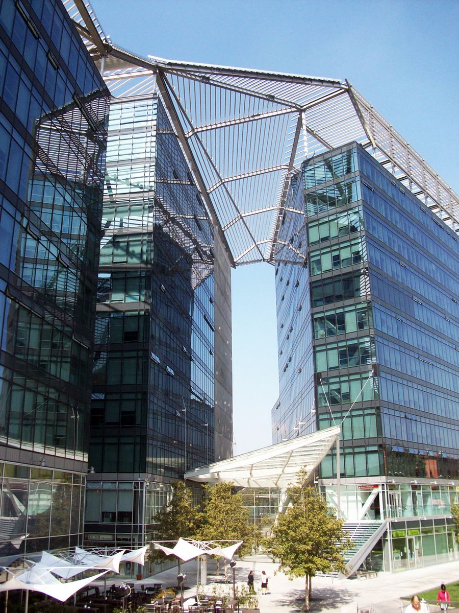
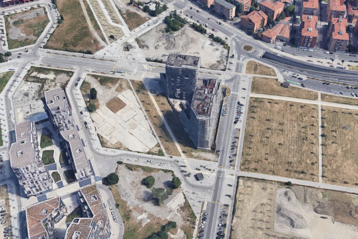
I had a couple of exchanges here about a planned development in Jersey City
One thing that helps understand my criticism is to put it in the light of the centrality of urban design in the European planning approach, especially in continental Europe. I'll give you some examples
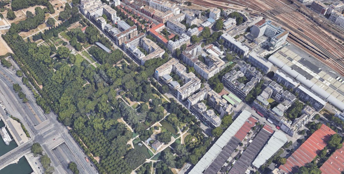
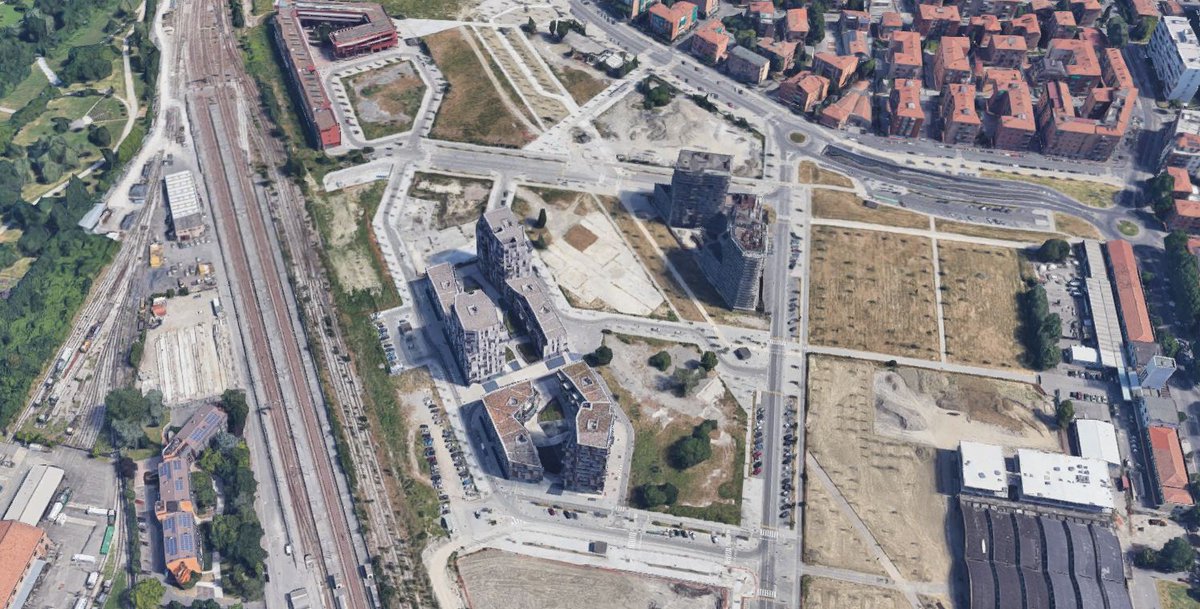
When I qualified, maybe a bit too hastily, that particular design in Jersey city as uninspiring it's because what I have in mind is a type of approach where what we call "la città pubblica", the public domain, is designed together with private development
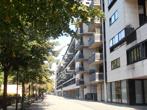
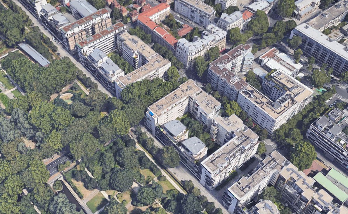
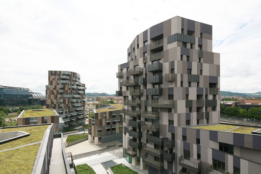
Take the ZAC Paris Bercy, a 1990s redevelopment of former depots in Paris with a parc, housing, commercial spaces etc. Buffi's detailed plan didn't simply mandated FAR, heights or alignements, it went in detail on the relationship between public and private spaces.
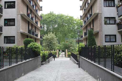
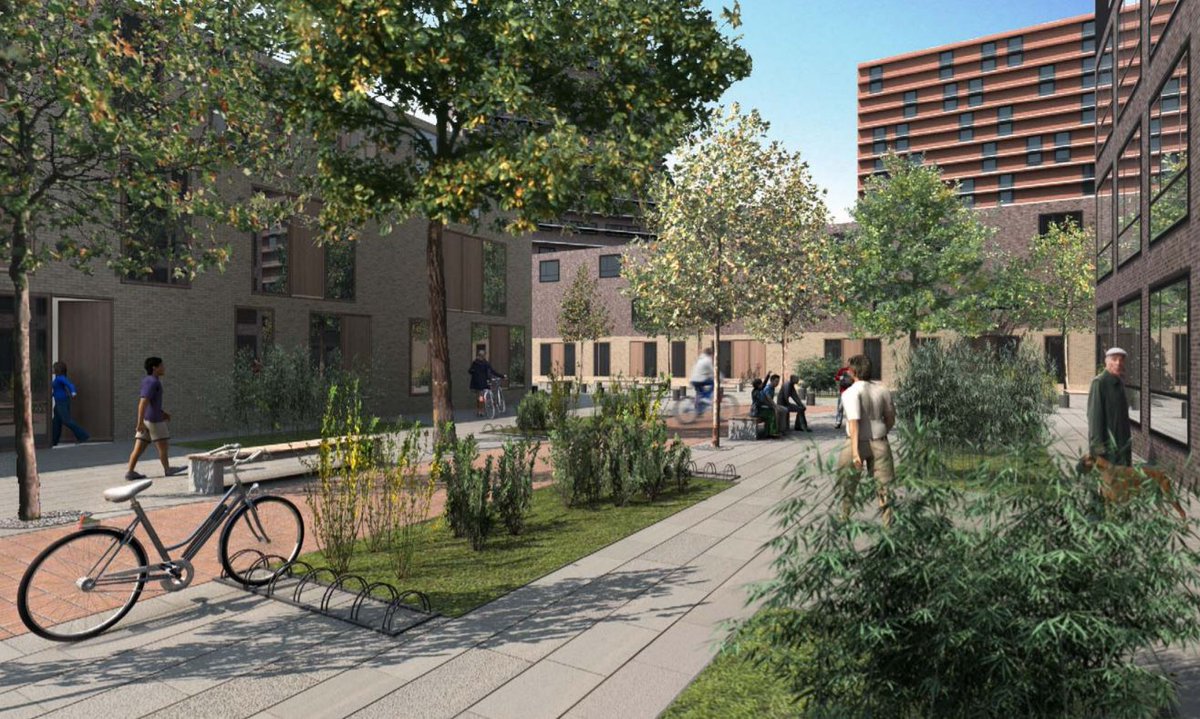
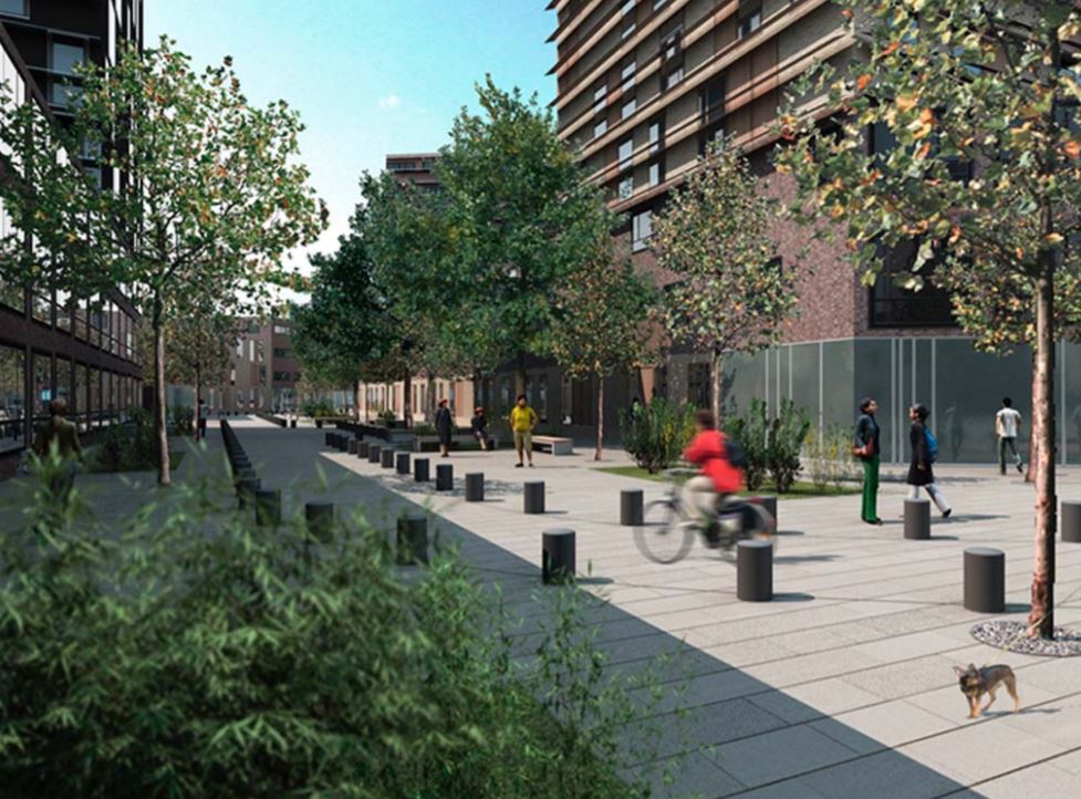
The buildings are C shaped with sort of pavillons, a private courtyard and long terraces, opened over the new parc and they are aligned along a very pleasant public pedestrian promenade. No street between the parc and the buildings
To open the parc to the neighborhood, the blocks are separated by a pedestrian path, lined with small private gardens. This ensure a transition between a trafficated boulevard and the more quieter parc and a better access from outside, while protecting the parc from noise
The overall plan is made of blocks with a combination of taller and medium size buildings. But the main feature is the sequence of public spaces
There is structuring axis starting in the south, passing across the new town hall, with a covered pergola, right behind the central station.
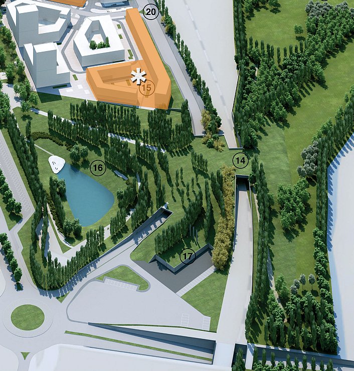
It continues through the main parc, then through a linear green space across the built-up part. Blocks are conceived as open, with internal semi-public green spaces. Streets are gridded, but car circulation is not, to avoid through traffic.
At the end of the axis, there is a second parc, with a retention basin for stormwater management and then a new box over the rail to reconnect with an existing parc. This aim to create a continuous high quality public domain, connecting the new development with the surroundings.
There is a new school and a kindergarten and several indications for developers about building massing, ground floor uses, permeability, energy consumption, garbage collection, etc. Some parts are reserved for social housing
These are just two examples, but in general all new development or redevelopments in Europe come with a strong design of the public domain. The actual way it is delivered greatly varies from countries, French use ZAC, Italians use detailed plans with forms of "perequazione"
They are not public developments at all and architects have a great liberty to shape each building as they prefer, as have developers to market them, decide apt size, etc.
But the public domain is not an afterthought, a leftover from buildings. It's the most important part
And my criticism is not for the sake of it. I kind of repeat it too much but density needs a more careful planning than sprawl to work at its best, to deliver an urban environment as good or even much more pleasant than the suburban single family neighborhood we want to replace.
• • •
Missing some Tweet in this thread? You can try to
force a refresh
1/ I❤️Lyon.
You know why? Apart the fact of being a nice city and the only place outside of Italy and (maybe) Spain having acceptable cured meat, it boasts one of the most interesting and diverse transit system, with metro, tramways, funicular, trolleybuses, tram-train, etc.
2/ The métro is a modern creature, the first being built in France after Paris at the same time of Marseille in the 1970s. It has now four lines, line C being the conversion+extension of a former rack rail to the working class neighborhood of Croix-Rouge
3/ The cheesy trainset design, especially 1980s MPL 85 for the automated line D is simply😍, especially in the full orange livery. Station design reminds me Montréal, somehow: large, colored. A pleasant brutalism.
We are back in a mild lockdown here in Montréal. As a reaction, I decided to do regular walks around my area, one of the fastest changing among the central neighborhoods.
Here is the first one to the MIL campus of UdeM, in the former site of Outremont rail yard
The masterplan is a rather plain. They basically just moved the rail and extended the existing grid, with a new main E-W street, that is already getting well patronized by cars. A lost opportunity for a car-free connection in a transit rich area.
The main features of the public realm are the triangular central square and the connection across the rail to Acadie metro station, right in the middle of the new UdeM building. With the university closed, the area is pretty deserted
It's time for Québec to open a serious discussion about the use of expropriation/eminent domain and the alternatives. The Grand Parc de l'Ouest is a paradigmatic case in which a different approach, like for example a form of Transfer of Development Rights, would have been better
In part of the area (140ha, orange) that has been expropriated there was a proposed (not approved, proposed) development and the owner is now reclaiming compensation for that on top of the actual land value
Those kind of policies that prevent further sprawl and provide a large park at the metropolitan scale cannot be jeopardized by the claim that every single project that is in the mind of a developer is part of a right to build that must be compensated in any case
1/ If you take the 3 world smallest cities with a metro, all in Europe, there are quite interesting comparison one can make
Lausanne (140k inh.)
🚇2008, 5.9 km, 31 M/year
Brescia (200k inh.)
🚇2013, 13.7 km, 18.7 M/year
Rennes (210k inh.)
🚇2002, 9.4 km, 32.8 M/year
2/ Of course, the three systems are all quite recent and were made possible by the development of automated light metro technology on steel (Brescia) and rubber (Lausanne, Rennes).
The three systems boast very short trains:
Lausanne: 🚃30 m
Brescia:🚃39 m
Rennes: 🚃26 m
3/ But the most remarquable thing is that Brescia, despite having the longest trains and line, has the lowest ridership, around 60% of its peers and an even lower ridership/km, at 1.35 M/km compared to 5.25 M/km for Lausanne and 3.48 M/km for Rennes
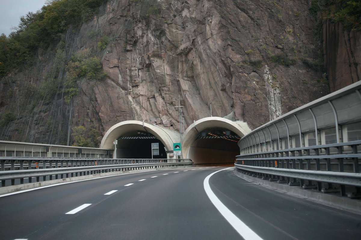
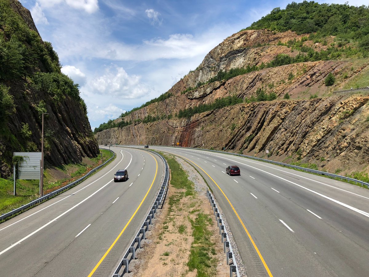
1/One thing that always strikes me when I travel around the US and Canada is the differences in road infrastructure design compared to Europe: the way topography or urban insertion is dealt with, the use of materials, etc. There is a cultural explanation, I think.
Let me explain
2/I have a petty theory (not that petty, it's part of my dissertation actually) that technical cultures matter. For cultures, I mean the assumptions and routines historically embedded in technical tools and practices stratified over time to the point of becoming taken-for-granted
3/It means that many of our assumptions about what is feasible/desirable are so deeply rooted in the local/national history of the profession that we tend to take it as universal norms and rules and never question them in the everyday practices. "We have always done in this way!"
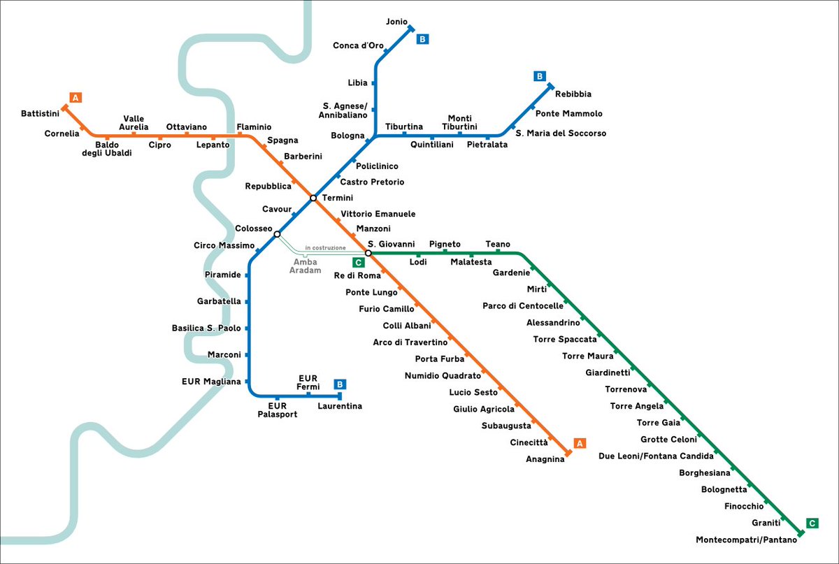
1/ The visitors of Rome remark that, for a 3.5m metro region, the subway network of the Eternal City is severely underdeveloped:
2 (and a half) lines
60 km
73 stations
A thread to try to explain why Rome has the worst rail transit among European capital cities
2/ This is a reparatory thread for Rome, ousted in round 1 in #RapidTransitBracket by @AlonLevy by London. Even if the defeat was deserved, putting the oldest metro network in the same bracket with the last European major capital city to get one, was an unfair pairing.
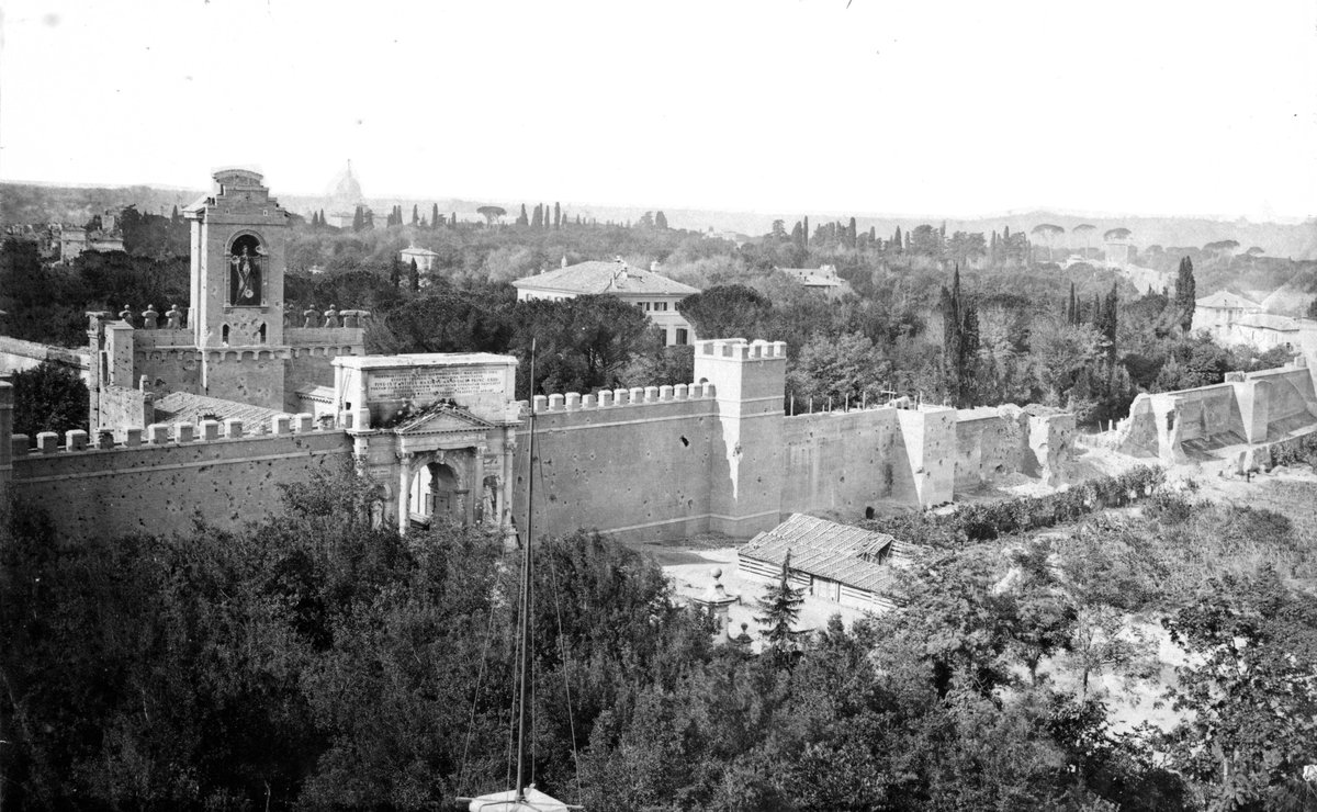
3/ Rome, despite its age, it’s a young capital city. When the Pope was finally kicked off in 1870 and the city became the capital of Italy, it was barely a large village of 212k inhabitants.
London had 3.8m, Paris 1.8m, Berlin 826k, Madrid 333k.