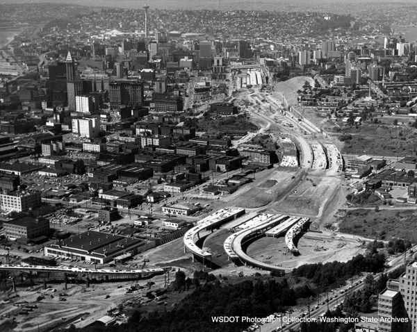
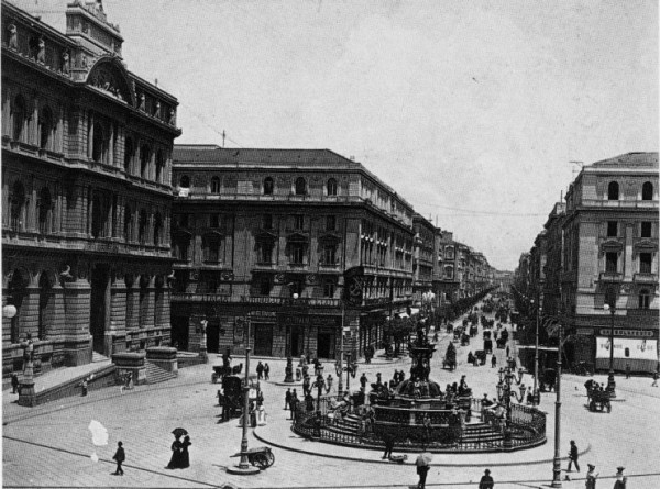
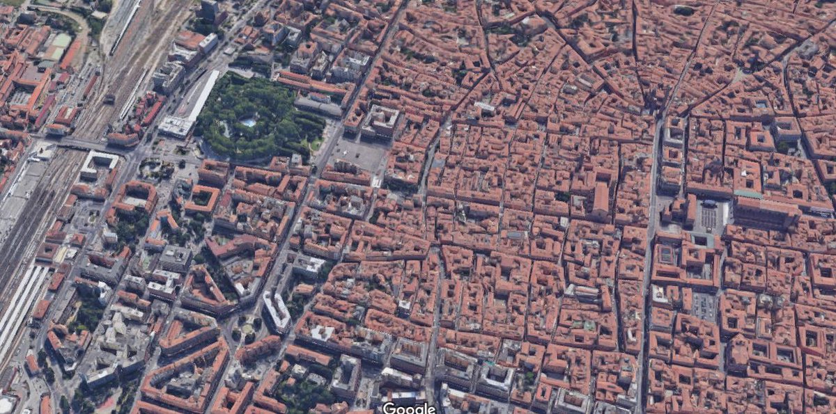
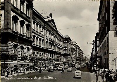
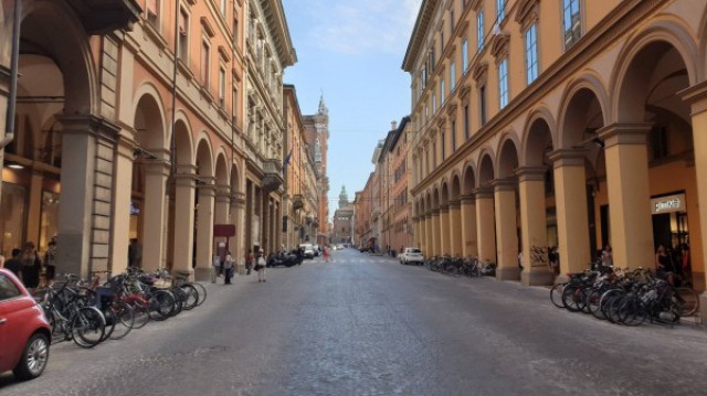
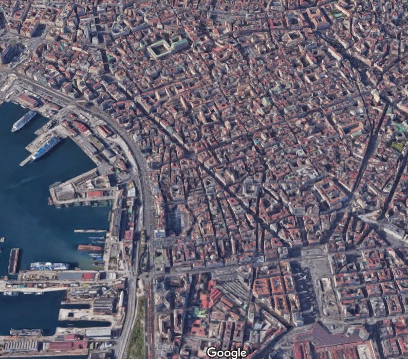
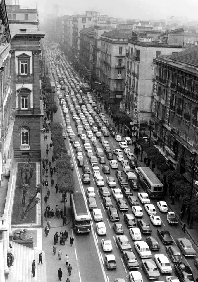
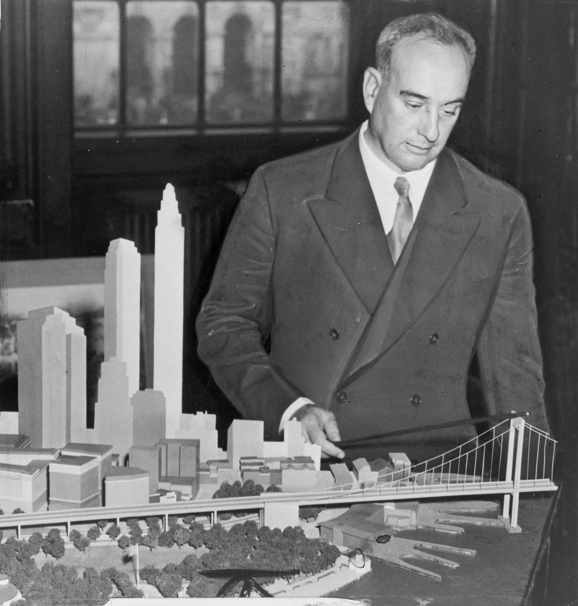
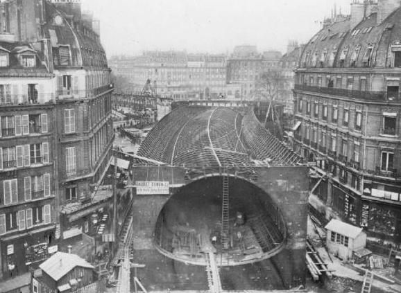
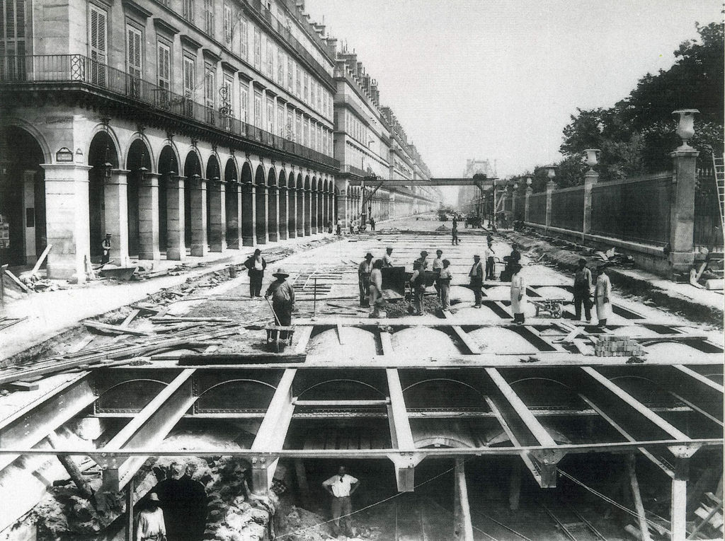
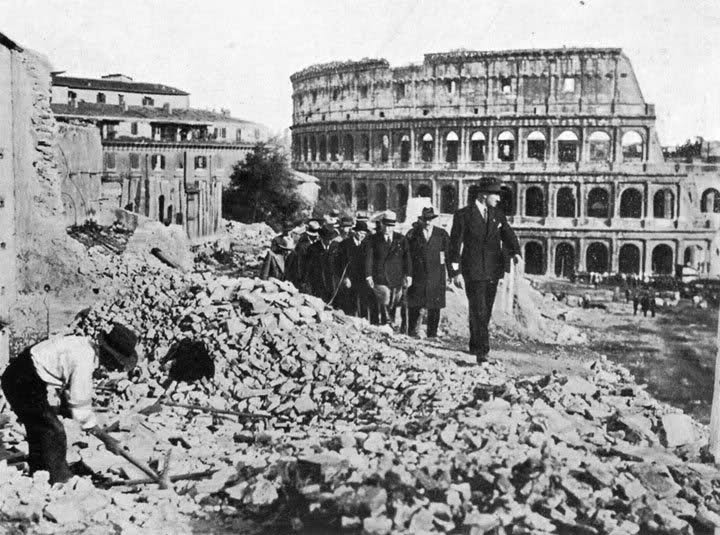
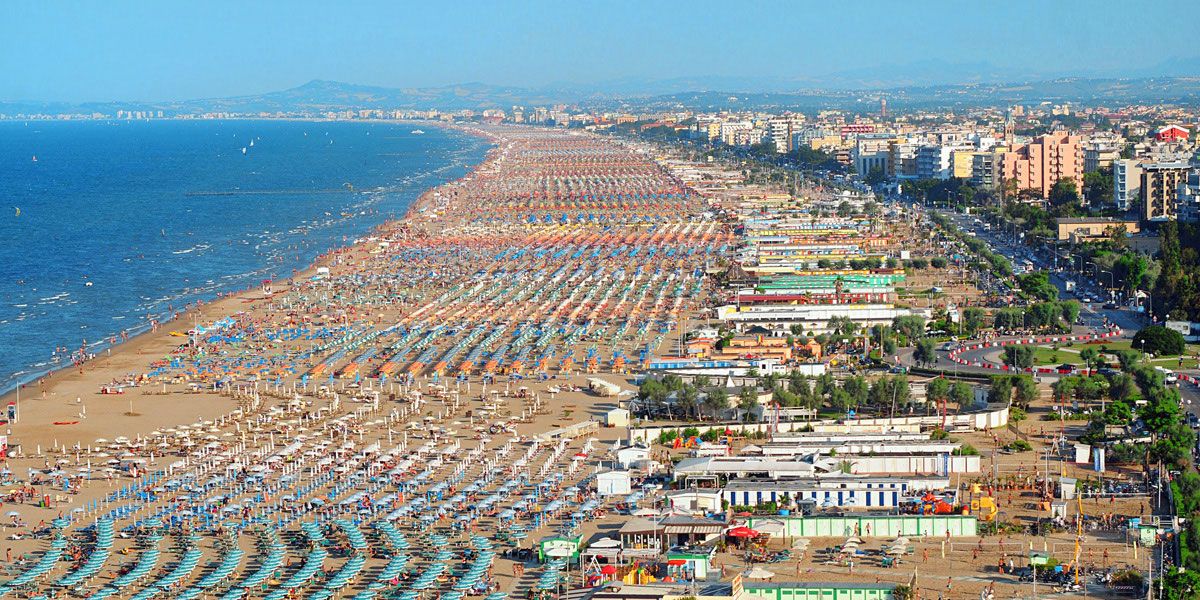
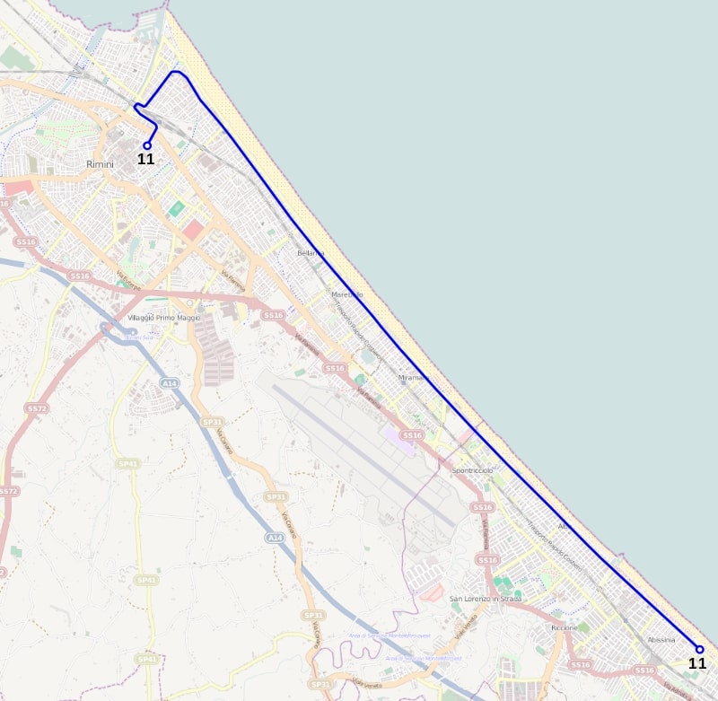
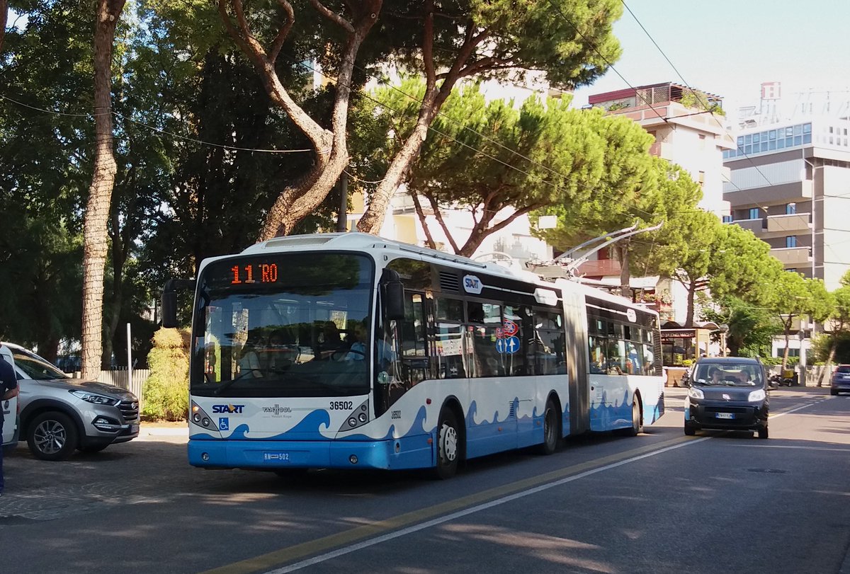
1/ What's in common between the two major urban interventions pictured below, a NA urban freeway and an Italian boulevard? Nothing apparently

Well, not really. Both interventions originated from the same logic of accessibility and resulted in the displacement of poor people
2/ You all know very well the story of US inner-city freeways, the way they were cut through poor, often minority's neighborhoods to increase accessibility of CBDs from the growing white collar suburban sprawl. No need to remind the logic and the results.
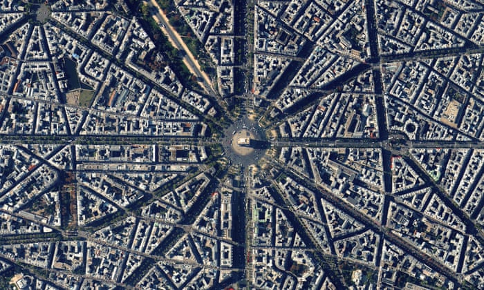
3/ Maybe lesser known is the opening of new thoroughfares in existing urban fabric that characterize part of the European urban planning in the second half of the 19th century. Of course, everybody knows Haussmann's Paris
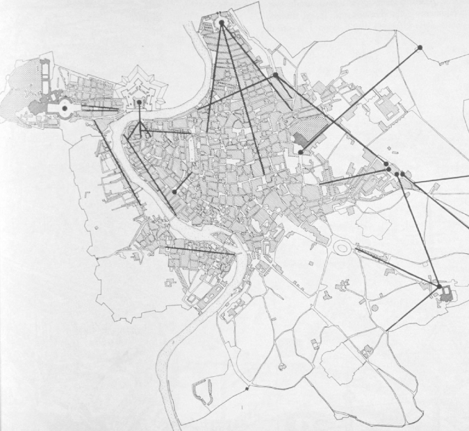
4/Well, without being so systematic or grandiose,a similar approach was applied in southern European cities too (and the colonies, but that's another story).It's not just a copy of Hausmann's approach, is more the natural evolution of a long tradition starting with papal urbanism
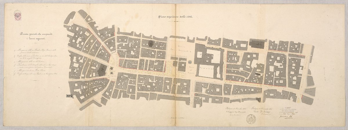
5/ The first planning law in Italy, the 1865 expropriation law, gives municipalities the possibility to draw a "regulatory plan" (piano regolatore), that entrusted them with the power to expropriate land and buildings to open up new thoroughfares
6/ This resulted in several wider or more chirurgical demolitions within the old city, typically to open up boulevards to connect the city center with the railway station. via Indipendenza in Bologna and the "Rettifilo" in Naples are typical examples.
7/ Both the justification and the background were similar. On one side, increase accessibility to the Old city core, that was transforming in a sort of CBD with directive functions. In the era of the automobile, the result was not much different than a NA urban motorway
8/ On the other side, clean up and "sanitize" (risanare) poorer neighborhoods. Not surprisingly, Naples plan arrived after a devastating cholera outbreak and the parliamentary debate on the special law of 1885 was characterized by a moralistic stigmatization of the urban poor
9/ Does this ring a bell?
That said, the formal outcomes were indeed different, as those major urban restructurings were carried out in different eras, before and after the advent of mass motorization. But the background is similar, in a way
10/ It would be interesting to imagine an alternative scenario where US central areas were "Haussmannized" instead of "Robert-Mosesized". The physical conditions were there: although, apart maybe Boston and Québec, no NA city had a real medieval core, roads were not so large.
11/ Take Montréal, for example: no major N-S street is larger than 25m, most being 20 or less. E-W is even worse, and that for the whole city expansion until the 1940s, in an area much larger than central Paris. Paris boulevards range from 35m to the 70m of the Champs-Élysées
12/ There are not only bad car-related reasons for a grid of larger roads. It's where tramways with reserved ROW were built. It's what made possible to build Paris's extensive métro mostly in C&C. This is what allows some Asian cities to build mostly elevated metros
13/ Maybe NA had just an unlucky timing, as it decided it was able to perform grand urban schemes in the wrong historical moment, where the car looked like the queen of mobility, mass motorization happened much earlier than in Europe and there were to much money
14/ Of course, you may argue that these are two incomparable urban transformations. The physical outcome is. But do not forget that the displacement is not an exclusive of american freeway construction but the inevitable outcome of large urban transformations we just forgot.
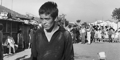
15/ The "Borgate", the precarious shantytowns in the outskirts of Rome that Pier Paolo Pasolini described so well in his movies, like the memorable "Accattone", are also the result of the massive displacement of poor people caused by Mussolini's 1930s urban renewal schemes
16/ The two sides of the pond, sometimes, are more similar than one might expect.

• • •

Missing some Tweet in this thread? You can try to force a refresh
 

Keep Current with Marco Chitti

Marco Chitti Profile picture

Stay in touch and get notified when new unrolls are available from this author!

Read all threads

This Thread may be Removed Anytime!

PDF

Twitter may remove this content at anytime! Save it as PDF for later use!

Try unrolling a thread yourself!

how to unroll video
  1. Follow @ThreadReaderApp to mention us!

  2. From a Twitter thread mention us with a keyword "unroll"
@threadreaderapp unroll

Practice here first or read more on our help page!

More from @ChittiMarco

23 Oct
1/ After a recent exchange, here is a thread about the interconnectedness of global and local urban geographies of production and jobs and how they shapes mobility and planning with two Italian examples you never probably heard about : Mirandola and Porretta Terme ImageImage
2/ The first example is Mirandola, a town of some 20k inhabitants is the flat lands, some 30km North of Modena. You'd probably know it better for being within the production area of both Parmigiano and the Balsamic Vinegar of Modena. But that somehow secondary.
3/The most important thing is that Mirandola is the main center of a cluster of biomedical manufacturing, accounting for more than 1 Bn of annual output, 70% exported, making it the world third largest after Minneapolis and Los Angeles. And that is a city of 20k that looks like⤵️ Image
Read 17 tweets
23 Oct
Geographies of jobs are an important factor that shape cities. The problem with some US-born theories about the evolution of job geographies is that they are too much based on US economic patterns taken as the blueprint of every global trend. They are not.
Aaron Renn's theory works well in the US: a country whose economy is based on large industrial/tertiary corporates, surrounded by a myriad of small service providers. Though, it explains less well urban job geographies in still manufacturing-rich areas, like S-Germany or N-Italy
Not every country went down the same path of completely delocalizing every manufacturing activity out of its borders, keeping the remainder on a lifeline of protectionism (Buy America). Economies are not just more/less advanced, sometimes are simply different. So are their cities
Read 6 tweets
21 Oct
My mainstream socialist roots cause me deep trouble with the idea of transit being framed as a "lifeline" for disadvantaged communities. Why?

Let me be clear: transit cannot and should not be a "soup kitchen". Because soup kitchens are not welfare Image
There is a foundamental difference between the idea of a modern, universal welfare and charitable actions to "help the poors". Soup kitchens, hospices, etc. are examples of a paternalistic welfare, the king throwing money to the poor, the Christian charity, and the likes.
Forms of redistribution of wealth have existed under any system. Early social housing has been developed as a product of "enlightened" charities with humanitarian goals of poor people's redemption (because we are good Christian people, you know: my wife is in the salvation army)
Read 7 tweets
20 Oct
1/ Yesterday, while writing about a 1888 rail plan for Rome, I qualified the city as a "capital by chance that never quite assumed it's role seriously, at least planning-wise".

Here is the reason why I say that and why Rome is not in a way like other big Western capital cities
2/ First, a bit of history. The Kingdom of Italy came about more rapidly than expected between 1859-61, after Piedmont's war against Austria and the expedition of the Thousands led by Garibaldi that resulted in the annexation of the Kingdom of two Sicilies.
3/ The first capital of Italy in 1861 was Turin, an already established little capital of the tiny but rapidly modernizing state of Piedmont. The city had it's Royal Palace, a small Parliament building, ministries etc., but insufficient for the capital of a much larger country
Read 15 tweets
18 Oct
1/ I'm re-reading one of the great classic of planning literature in Italy, Italo Insolera's "Modern Rome", an urbanistic history of Rome since Napoleon I.

After doing further research I happened upon the never realized railway plan of 1888, a quite bold rail reorganization
2/ Designed by Mazzanti Frontini, it is one of the several grandiose plans to modernize a city that became the capital almost by chance and never quite assumed its role seriously, at least planning-wise. There is no government quarter, no magnificent building for the Parliament.
3/ Since the modern city was already growing toward the Termini station since even before annexation ti Italy in 1870, this plan encourages this growth and propose to demolish Termini station and build a new grandiose building for the Parliament in its place
Read 11 tweets
13 Oct
1/ I keep asking myself why, despite a lot of talking about electric mobility, there aren't more new trolleybus lines around. But there are a few.

The recently opened Rimini's BRT, or better TRT (Trolleybus Rapid Transit) is an interesting experiment in intermediary systems Image
2/ The city of Rimini (151k inh. and birthplace of Federico Fellini) is the center of a linear urban area of some 350k, that developed along the coastline. It emerged as a major seaside destination during the 1950-60s economic boom. Population can soar to 1M during summer months. Image
3/ The city already has a 12.2 km mixed traffic trolleybus line, opened in 1939 and connecting Rimini railway station to Riccione, along a boulevard lined with hotels and resorts, very close to the beach. But commercial speed is low and inner areas are poorly served. ImageImage
Read 13 tweets

Did Thread Reader help you today?

Support us! We are indie developers!


This site is made by just two indie developers on a laptop doing marketing, support and development! Read more about the story.

Become a Premium Member ($3/month or $30/year) and get exclusive features!

Become Premium

Too expensive? Make a small donation by buying us coffee ($5) or help with server cost ($10)

Donate via Paypal Become our Patreon

Thank you for your support!

Follow Us on Twitter!