🚨New paper! 🚨
Email me for PDF (megan.evans@unsw.edu.au)
.@rini_rants and I interrogate the value and purpose of global maps in #conservation 👉
rdcu.be/cvWOY
Email me for PDF (megan.evans@unsw.edu.au)
.@rini_rants and I interrogate the value and purpose of global maps in #conservation 👉
rdcu.be/cvWOY

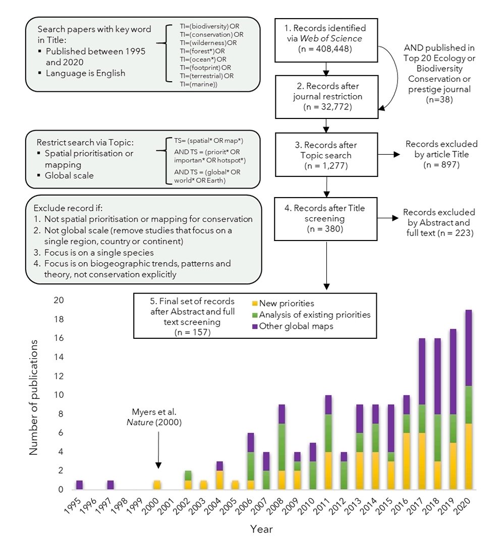
It's no secret that conservation science (and journals, and the media) loves a good global map - and there's a lot of them. We found >150 global priority maps published since 2000 (and that's DEFINITELY an UNDERestimate) 

So what? Maps can be super useful, and salient, and have helped (and continue to do so) raise awareness and $ for #conservation
But is there a risk we're overestimating their value?
But is there a risk we're overestimating their value?

There's the argument that not all maps are meant to actually be used, but rather help advance science. Sure - but this distinction is rarely explicitly stated.
We argue that there might be costs of global maps to conservation science as a whole
We argue that there might be costs of global maps to conservation science as a whole

These include:
❓"crowding out" local/regional and emperically rich (field) studies
❓erasing heterogeneity to get a uniform, global picture
❓privileging a certain kind of (Western, quantitative) that is amendable to representation in a global map
❓"crowding out" local/regional and emperically rich (field) studies
❓erasing heterogeneity to get a uniform, global picture
❓privileging a certain kind of (Western, quantitative) that is amendable to representation in a global map
Also, global maps give the illusion of objectivity, but they're not. See this great paper by Marco Malavasi: sciencedirect.com/science/articl… 

So what do we suggest?
First, we're asking the conservation science community to think critically about the intended purpose and audience of global maps - and how might we evaluate this?
(I see a future study investigating who uses global maps!!)
First, we're asking the conservation science community to think critically about the intended purpose and audience of global maps - and how might we evaluate this?
(I see a future study investigating who uses global maps!!)

Second, there is a big role for journals (editors and reviewers), funders and the media for also thinking critically about why a global map is necessary or useful
Third, we suggest conservation science (and journals, and funders) needs to re-embrace emperically rich studies of regional and local context - where decisions are implemented
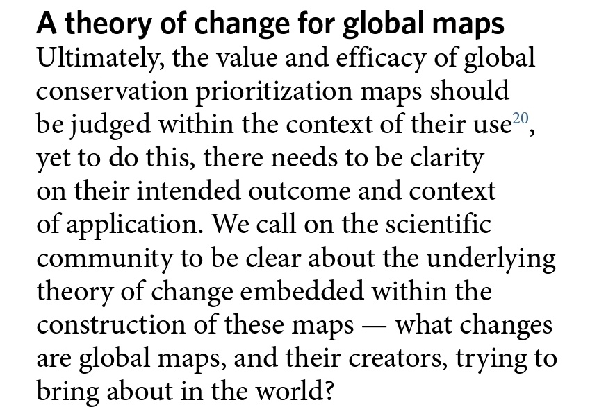
Overall, we think a theory of change framework could help think through whether another global map is really necessary 👇 

and here's the full link nature.com/articles/s4155…
• • •
Missing some Tweet in this thread? You can try to
force a refresh


