MPR Weather Profile picture
Dec 22 4 tweets 1 min read
Some Minnesotans reacting to a snowstorm.
1) They said a big storm is coming! ❄️❄️❄️
2) It'll probably miss us...
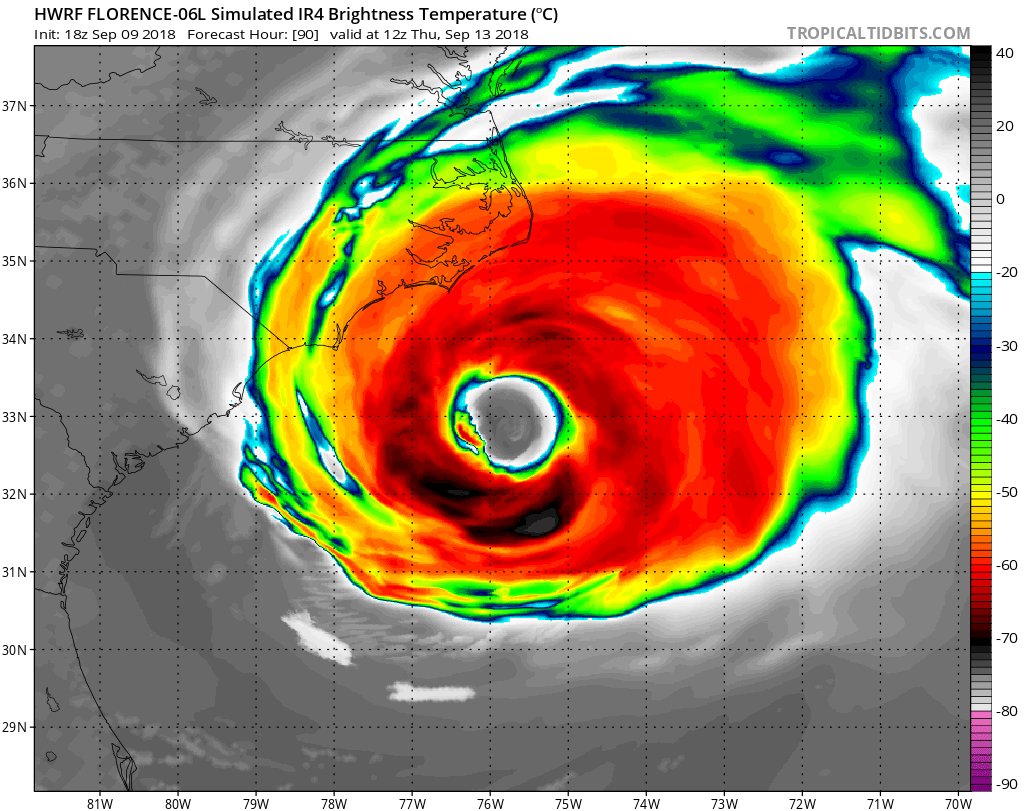
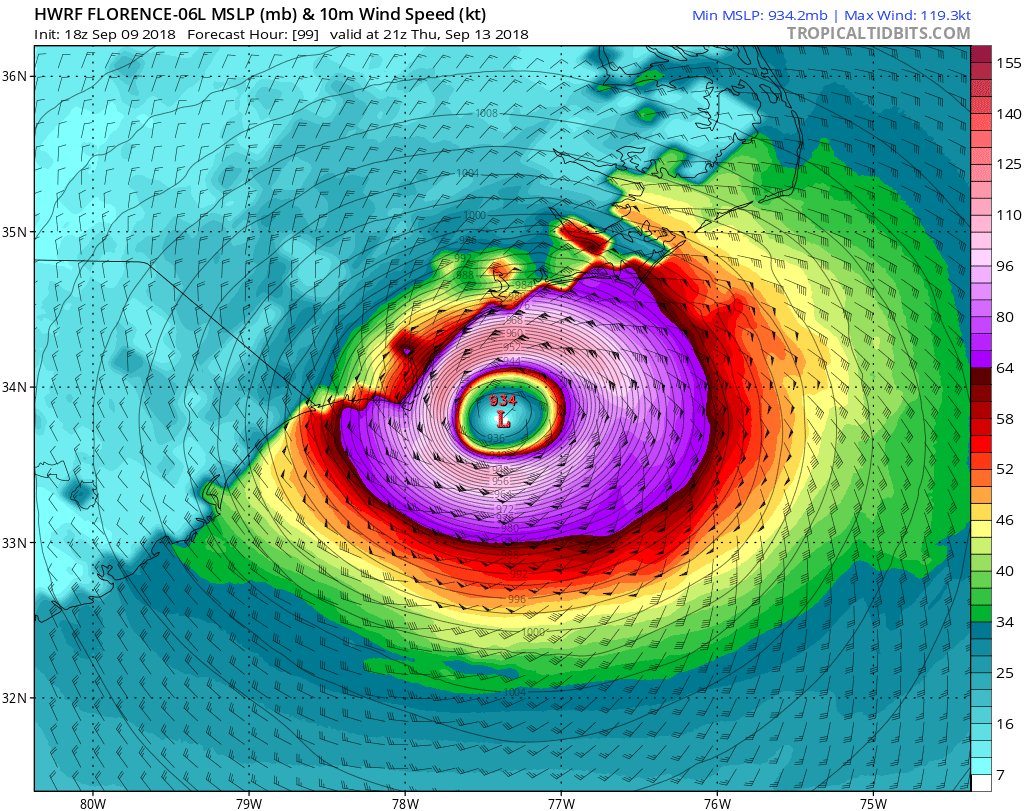
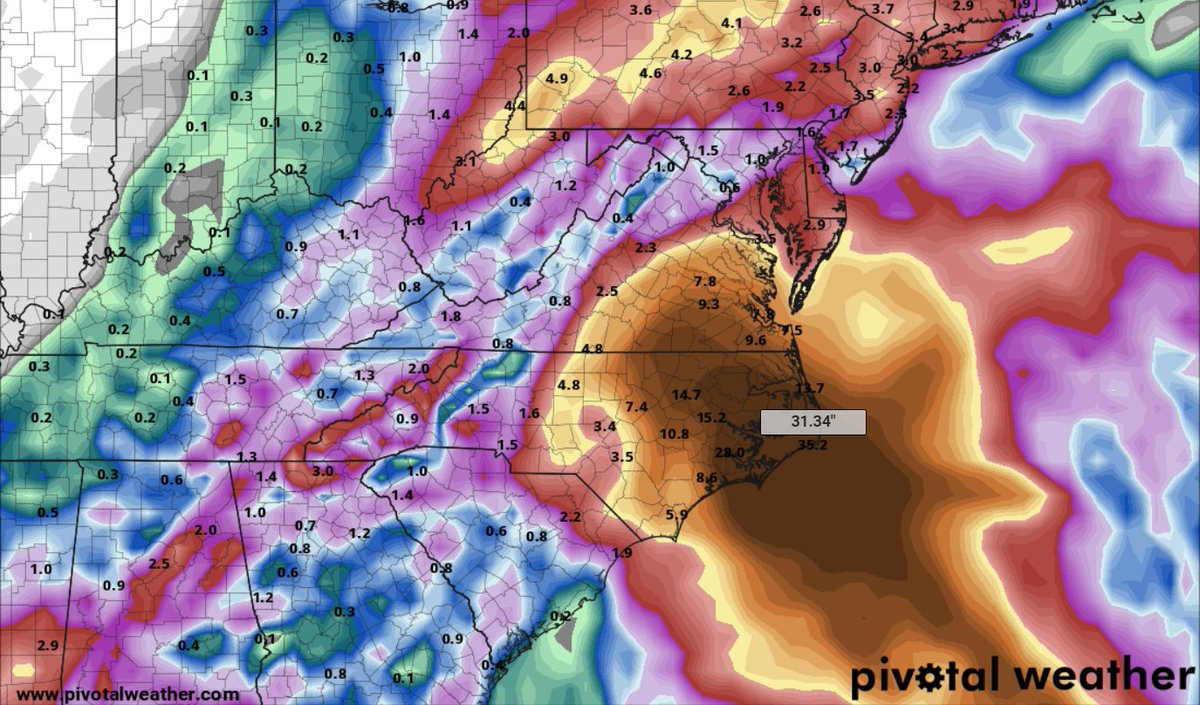
3) Weather enthusiasts post raw model data...
4) So when is the snow gonna get here??
5) It's snowing!
6) Snow stopped. Is this all we're gonna get???
1/4
7) Looks like a bust!!
8) Whoa, the snow is really coming down now...
9) That's a lot of snow!
10) The wind won't be THAT bad.
11) I can drive in anything!
2/4
12) Whoa now THAT was a storm!
13) I guess they were right. 😉
#mnwx
4/4

• • •

Missing some Tweet in this thread? You can try to force a refresh
 

Keep Current with MPR Weather

MPR Weather Profile picture

Stay in touch and get notified when new unrolls are available from this author!

Read all threads

This Thread may be Removed Anytime!

PDF

Twitter may remove this content at anytime! Save it as PDF for later use!

Try unrolling a thread yourself!

how to unroll video
  1. Follow @ThreadReaderApp to mention us!

  2. From a Twitter thread mention us with a keyword "unroll"
@threadreaderapp unroll

Practice here first or read more on our help page!

More from @MPRweather

Mar 17, 2020
1/ THREAD: The #COVID19 crisis is heartbreaking on many levels. My first thoughts are always with those whose health livelihoods are impacted. I'm also thinking about the economic impacts all of us are feeling.
2/ I'm also in awe all of you heroes working on the front lines. Health care workers. Grocery supply chain workers. Scientists working on fighting this disease and developing a vaccine. Anyone still working in a higher risk environment. You are amazing.
3/ But what's unfolding got me thinking about my #ClimateChange beat in a deeper way. Opportunity can be born from crisis.
Read 15 tweets
Sep 10, 2018
Dire predictions with Hurricane #Florence look increasingly likely for the Carolinas/Virginia. Several points need to be made as Monday dawns.
1) This will be a LARGE storm. HWRF model Simulated IR satellite is an esitmate, but shows a storm as large as North Carolina.
2) @NHC_Atlantic official forecast is 150 mph winds (near Category 5) offshore. #Florence will likely be Category 4 near landfall with 140 mph winds. Landfall zone may still shift, but most models show a devastating wind field near Wilmington/Topsail/Jacksonville, NC Thursday.
3) Historical comparisons w/ Hugo (wind/surge damage) & Harvey (flood damage) look more likely with each new model run. #Florence will likely stall inland or on NC coast for 3-4 days. 20" to 30"+ rainfall totals look likely. This would produce devastating floods.
Read 6 tweets

Did Thread Reader help you today?

Support us! We are indie developers!


This site is made by just two indie developers on a laptop doing marketing, support and development! Read more about the story.

Become a Premium Member ($3/month or $30/year) and get exclusive features!

Become Premium

Don't want to be a Premium member but still want to support us?

Make a small donation by buying us coffee ($5) or help with server cost ($10)

Donate via Paypal

Or Donate anonymously using crypto!

Ethereum

0xfe58350B80634f60Fa6Dc149a72b4DFbc17D341E copy

Bitcoin

3ATGMxNzCUFzxpMCHL5sWSt4DVtS8UqXpi copy

Thank you for your support!

Follow Us on Twitter!

:(