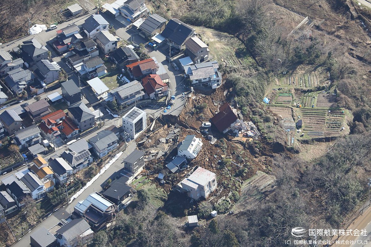
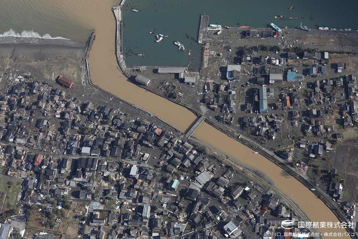
This week's M7.7 earthquake near Mandalay, Myanmar (Burma) had all the makings for a devestating disaster; a major earthquake directly under a major population center.
I waited a couple days, but here's a short thread of what happened. #earthquake #myanmar
I waited a couple days, but here's a short thread of what happened. #earthquake #myanmar

The M7.7 earthquake was very likely caused by the Sagaing Fault, which runs north-south the length of the country's central Irrawaddy River valley. This valley is densely populated and filled with unconsolidated river sediments that can amplify ground shaking.

The last major event on this fault in the epicentral region was a ~M7.9 earthqauke in March 1839. It ruptured about 180-200 miles of the fault and killed ~500 people (the area was much less populated then). Then, 186 years later (to the month), it broke again.
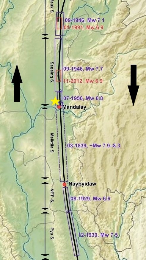
Mandalay is much more developed now and the shaking was violent, reaching an intensity value of 9 on the Modified Mercalli Scale. This kind of ground motion will cause heavy damage most anywhere. Several buildings throughout the area totally collapsed.
https://x.com/RT_com/status/1905540478709211227
Much of the collapsed buildings in this video appear to be either brick, block, or "soft-story" construction. ALL of these types fo buildings are prone to collapse during strong ground shaking.
https://x.com/TheChindwin/status/1905783741982883905
When loose sandy sediments, saturated w/ groundwater, are shaken by a major earthquake, it causes "liquefaction". If the groundwater is close enough to the surface, the pressurized water/sand will shoot up to the surface in what are called "sand boils".
https://x.com/gunsnrosesgirl3/status/1905869705916653916
This is what it looks like afterward. A thick layer of sand blankets the old ground surface. This loss of material can cause ground settlement, and sediments lose the ability to support buildings and other infrastructure.
https://x.com/mondoterremoti/status/1905681106973679657
What will certainly add to the death toll is that the earthquake happened as people gathered at mosques for Friday prayers during Ramadan.
https://x.com/SahatZia_Hero/status/1905621479867437195
The questions still to be answered is how buildings over 600 miles away were damaged and/or collapsed like this tall building under construction in Bangkok, Thailand.
https://x.com/AJEnglish/status/1905534083385479288
Generally, only "long period" seismic waves make it this far from the epicenter (short period waves get absorbed by the ground more easily), and tall buildings and long period waves do not mix well. Add in soft sediments below or poor construction and you have a bad combo.
To bring this home to California, we have a similar major right-lateral fault - the San Andreas Fault. It generated a ~M7.9 earthquake in 1857 (168 years ago) that ruptured 225 miles of the fault from Parkfield to Cajon Pass.

A repeat of the same quake today would devestate SoCal w/ all the same damage: building collapse, liquefaction, and landslides. California has made excellent improvements construction quality/inspection, building materials, and retrofit efforts-but bad construction still remains.

Take this opportunity to get your home, office, or business ready for a strong earthquake. Use the "7 Steps to Earthquake Safety" (from @ECA) for easy steps you can do to make a BIG difference for you and your family or co-workers right away. earthquakecountry.org/sevensteps/
Here is a handy, simple graphic of the 7 Steps to Earthquake Safety.

• • •
Missing some Tweet in this thread? You can try to
force a refresh