
Historians wanna talk like they got something to say | NZ & Australian history, politics, trains, music, sport, higher ed | He/him | Same handle on bluer skies


 2/ London made few modifications to Grey's draft constitution, but this one was big. Grey intended for provincial councils to elect the Legislative Council's members. If so, I doubt the provinces or the upper house would have been abolished—a very different political landscape
 The first line I visited was the Tūātapere Branch in western Southland. Operational from 1879 to 1978 (goods-only from 1954), at its greatest extent it ran through Riverton and Tūātapere to Ōrawia, with multiple trains daily. Tūātapere station, goods shed, and water tank survive


 Here's a diagram of the works to take place from next year to elevate the Armadale/Thornlie line south of Victoria Park. The works will be pretty substantial; I'll be around with camera in hand! Here's the Metronet site about it: metronet.wa.gov.au/projects/level…

 Yes, this is basically a thread for @royuniscool, @MattBComposer, @RuralPesant, et al. In particular, Ryan's threads about his network in NIMBY Rails has inspired me—but with little desire to learn the gameplay of NIMBY Rails, I decided to just tinker with Google Maps

 To tackle this seriously rather than just meme it, let me introduce you to the Te Aro railway line and its swift demise, since many of you might not know about it. It was built to provide better rail access to central Wellington and as the start of a potential line to Island Bay.
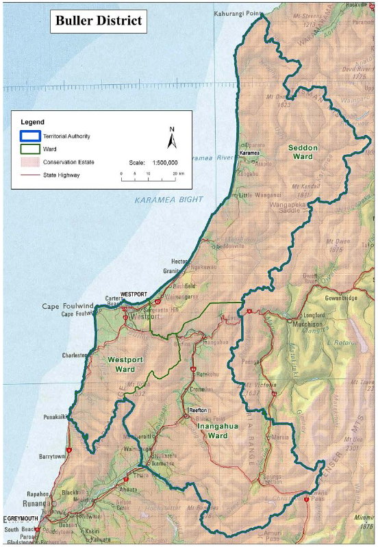
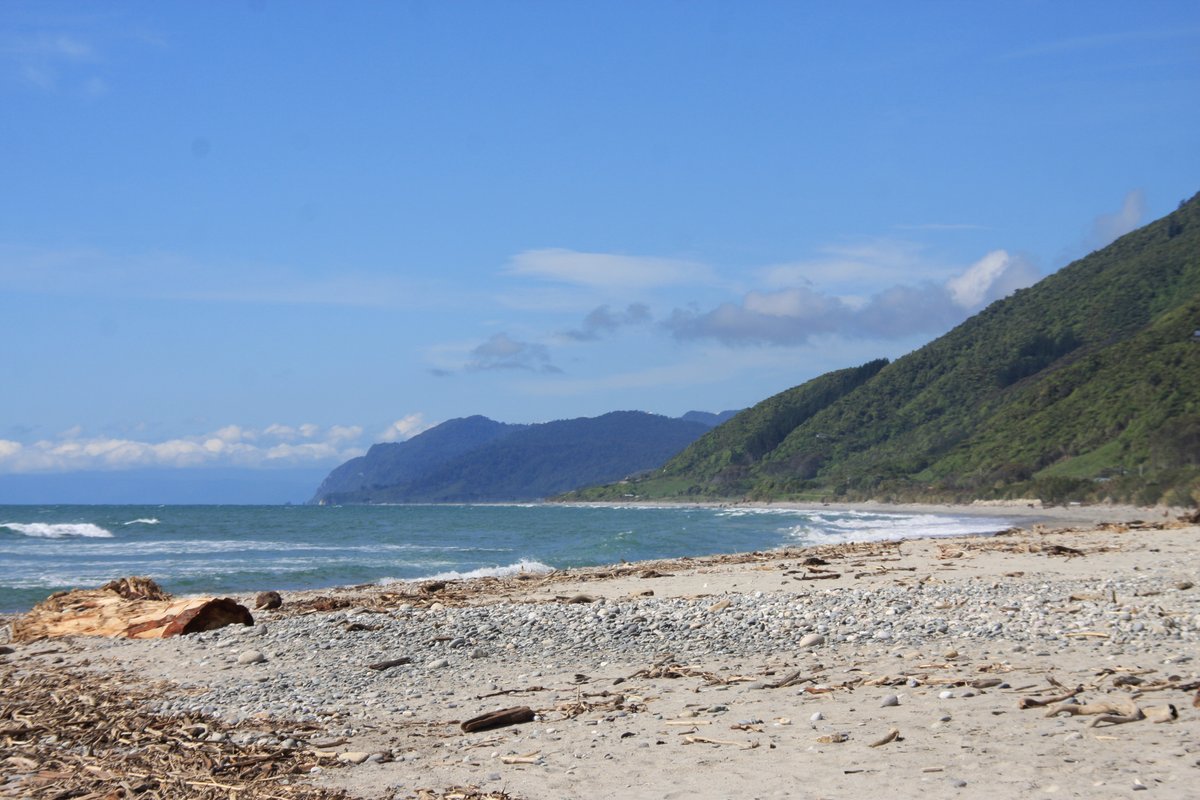 I've been to Buller twice—once as a kid in 1993, and again in November 2013, which my pics are from. These maps show where the region is in the South Island, and a more close-up look. The population is only about 10,000, with about 4,000 of them in Westport.
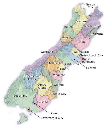

 A couple of weeks ago I visited Tangiwai at the start of a road trip around the North Island. It proved to be the first chapter of a trip full of reminders about the geological and volcanic dangers that define New Zealand. This was my third time visiting the memorial. 2/
