Research Scientist @PFC_CFS @NRCan | Adjunct Prof @ubcforestry | Alum @helsinkiuni | #forests #forestinventory #lidar #Landsat #CFSEFI #remotesensing 🌲🛰️
 Spectral recovery=# of yrs reqd for pixel to attain 80% of its pre-disturbance NBR value (Years to Recovery, Y2R). NBR=Normalized Burn Ratio, which exploits differences in spectral response of vegetation & exposed soil in NIR and SWIR wavelengths. Enabled by #Landsat time series.

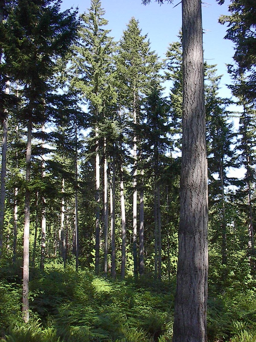
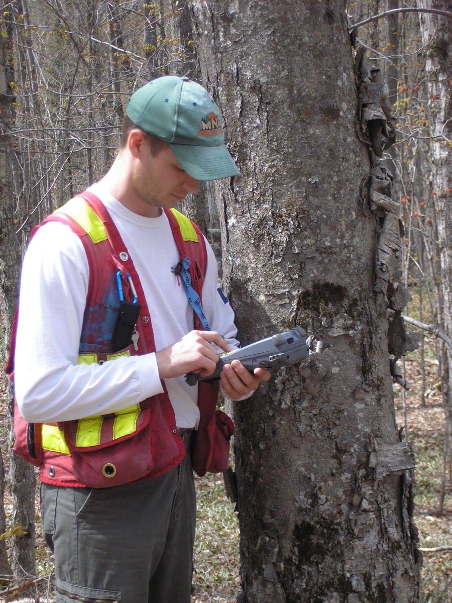
 2/ We used #SPL and 269 field plots to generate an area-based operational #forestinventory over a 15000 ha study area of temperate mixedwood forest representing a complex assemblage of tree species, forest structures, and management histories. bit.ly/37GTeZG

 A great question and one that is top of mind for many of us who generate and use #forestinventory data. So what does the #science tell us about the transferability of area-based models? #CFSEFI