
Researcher @ipeaonline | PhD @TSUOxford | Structured procrastination on Cities, Spatial data science, R, Transport equity, Accessibility, Urban mobility
How to get URL link on X (Twitter) App


 A ideia é o livro servir de material didático e guia prático p/ modelar redes de transporte, calcular acessibilidade e avaliar impacto de projetos sobre acessibilidade urbana. O livro traz exemplos reproduzíveis com dados e software abertos utilizando programação em R #rtats


 We combine epidemiological, serological, household survey, NPI & mobility data to 1) Estimate the social and racial inequalities in the risk of hospitalization and death by #COVID19, and 2) Show how vulnerability to COVID is shaped by preexisting social and health inequalities

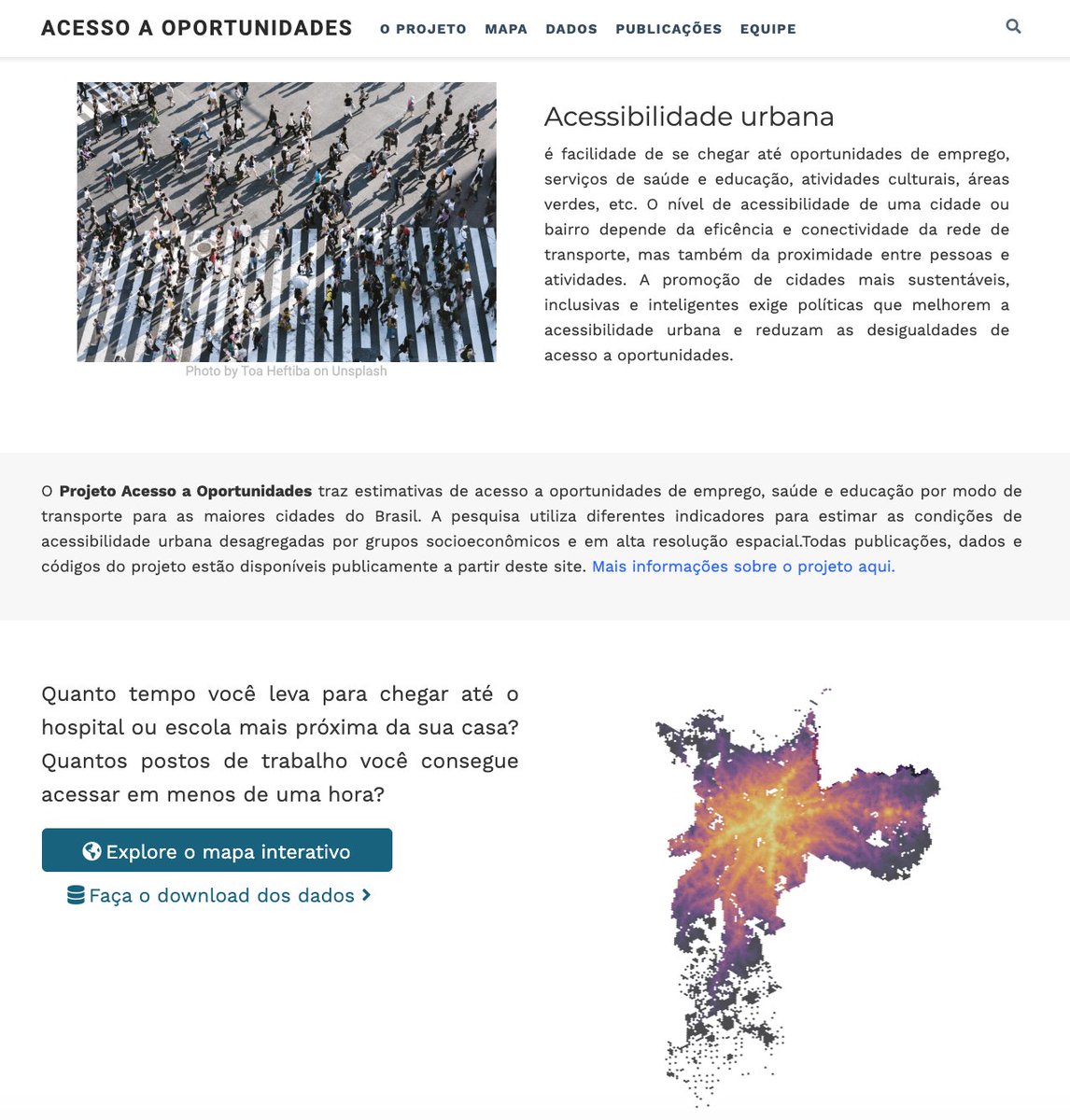
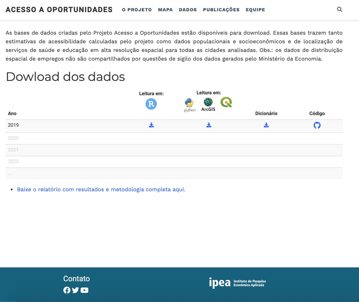
https://twitter.com/ipeaonline/status/1217912986045689866O lançamento inclui:


 New data: today we added historical shapefiles of states and municipalities for the years 1872, 1900, 1911, 1920, 1933, 1940, 1950, 1960, 1970, 1980, 1991 (request of @antrologos). Easy access e.g. `read_state(year=1872)` and `read_municipality(year=1940)`