How to get URL link on X (Twitter) App


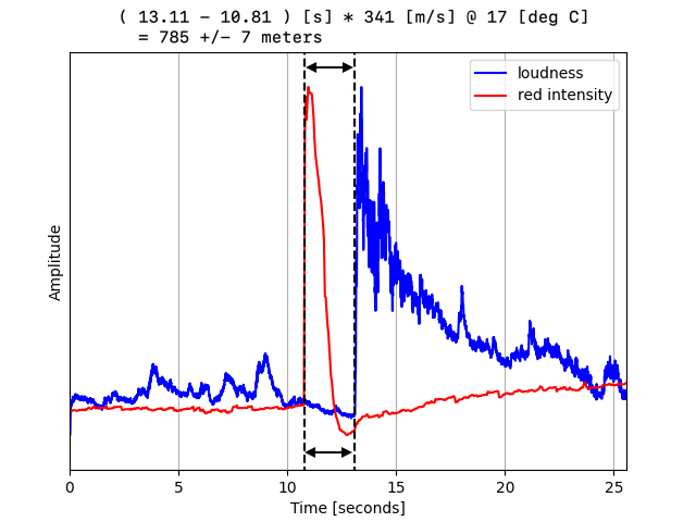
 The use case is geolocating an explosion when you only have one geolocated POV, while normally at least two POVs are required to triangulate the position of an event. You just need to know the location of the POV and the direction of the event.
 https://x.com/Dmojavensis/status/1696689830430982608

https://twitter.com/bradyafr/status/1579456719989534722(2/8)

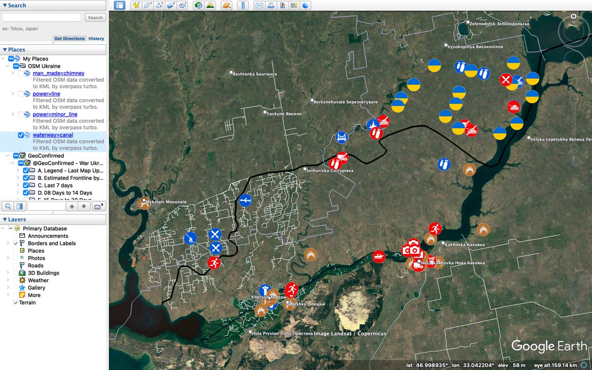
 For this example, I'll be using the Google Maps version of the GeoConfirmed map (tinyurl.com/2uas5rjp), and will manually import its associated KMZ file into Earth PRO. I think this parred-down version is a bit cleaner for geolocation. 2/12
 https://twitter.com/GeoConfirmed/status/1578477609830473728


 Go to overpass-turbo.eu and click “Wizard”. For power lines in Ukraine, for example, enter “power=line in Ukraine” into the prompt and click “build query”. 2/6


 Original video and source: