This week I finished a bit of a bucket list item: flying an airplane coast-to-coast.
For pro pilots (mil or civ) this’d be a snoozefest, but flying isn’t something I do full-time and I’d be doing it solo in a small plane.
If you’d like to hear about the trip, then come along...
For pro pilots (mil or civ) this’d be a snoozefest, but flying isn’t something I do full-time and I’d be doing it solo in a small plane.
If you’d like to hear about the trip, then come along...
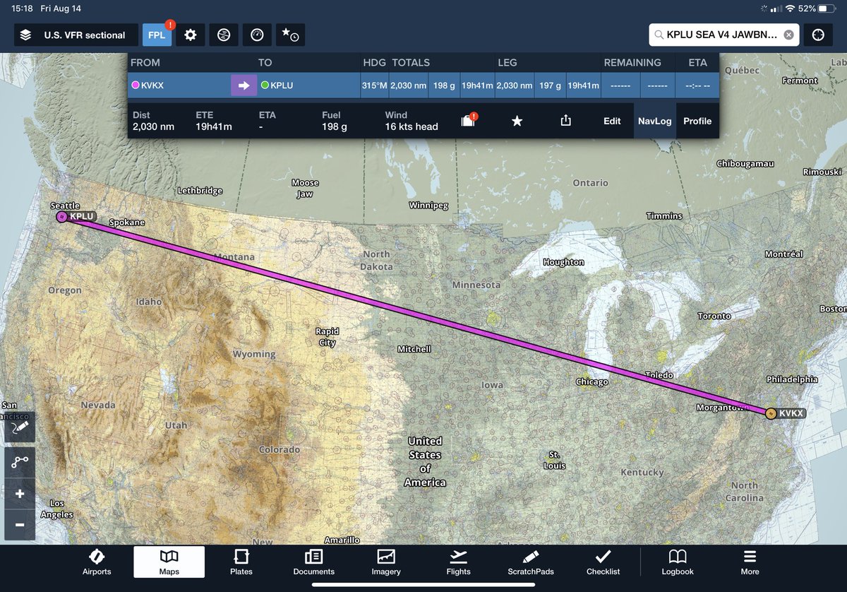
The overall journey was from Potomac Airfield, just outside of DC, to Thun Field near Tacoma, WA. I figured it’d take about 4-5 days to complete, with about 6 hrs of flying a day and probably one or two weather delay days. Flying solo, I wanted to keep each day reasonable. 
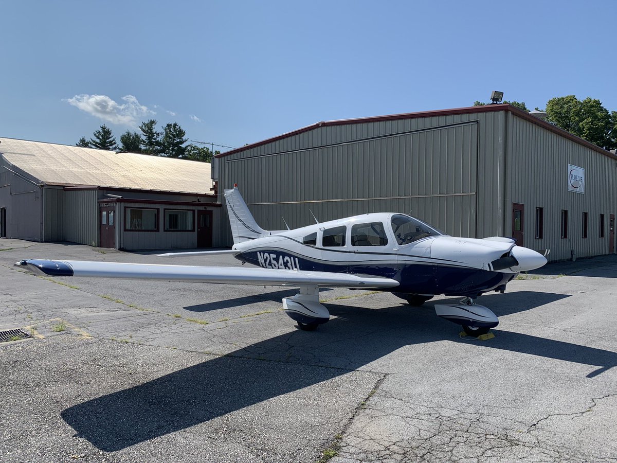
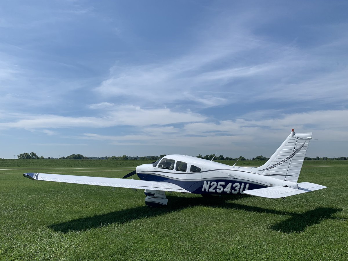
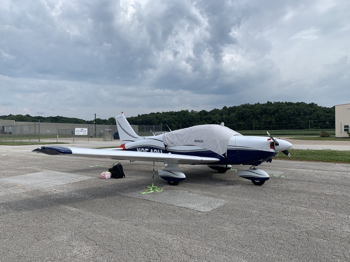
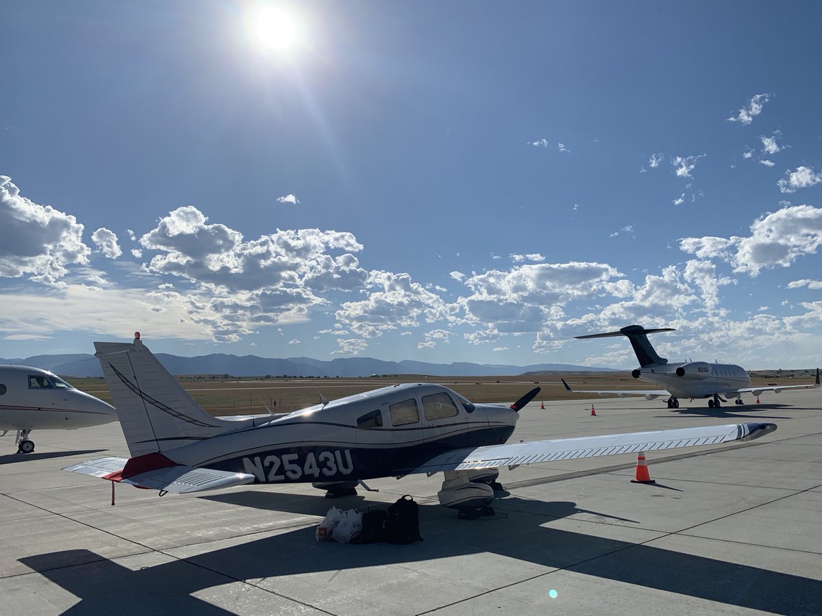
My ride for the trip would be N2543U, a 1980 Piper Archer with 4 seats and a single 180 HP piston engine. While the plane is 40 yrs old, it’s in great shape and has had major upgrades to its avionics, equipped with GPS, an autopilot, digital glass-panel instruments, and ADS-B.
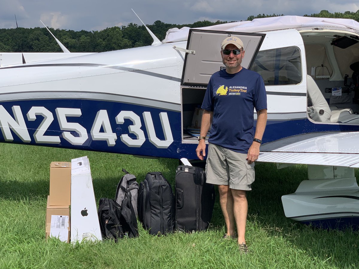
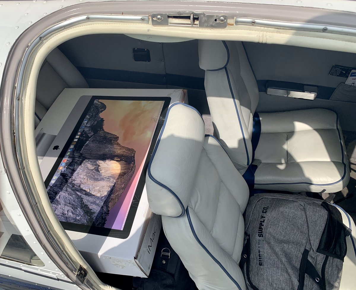
The day before I left, I went out and loaded up her up with all the big stuff that I was planning to take, weighing it all and making sure it fit so that the balance would be within the right range. This trip was part of a move cross-country, so I had a fair bit to pack in.
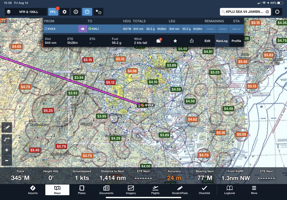
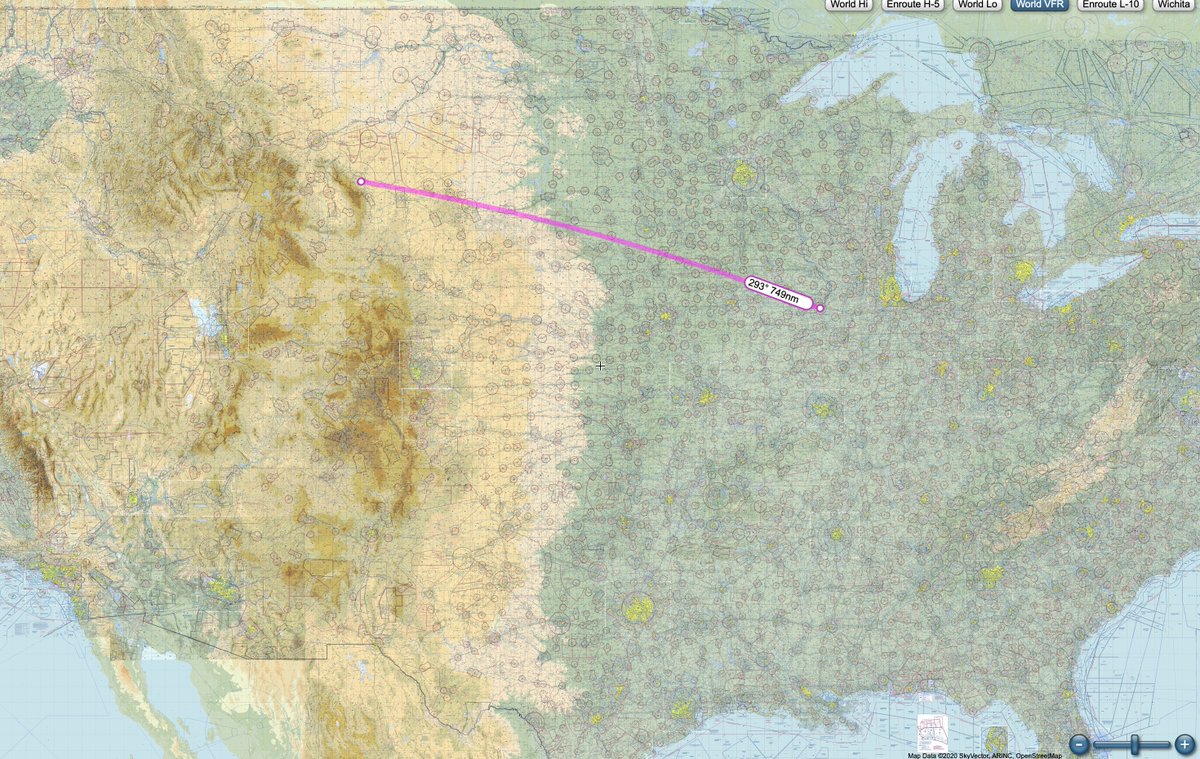
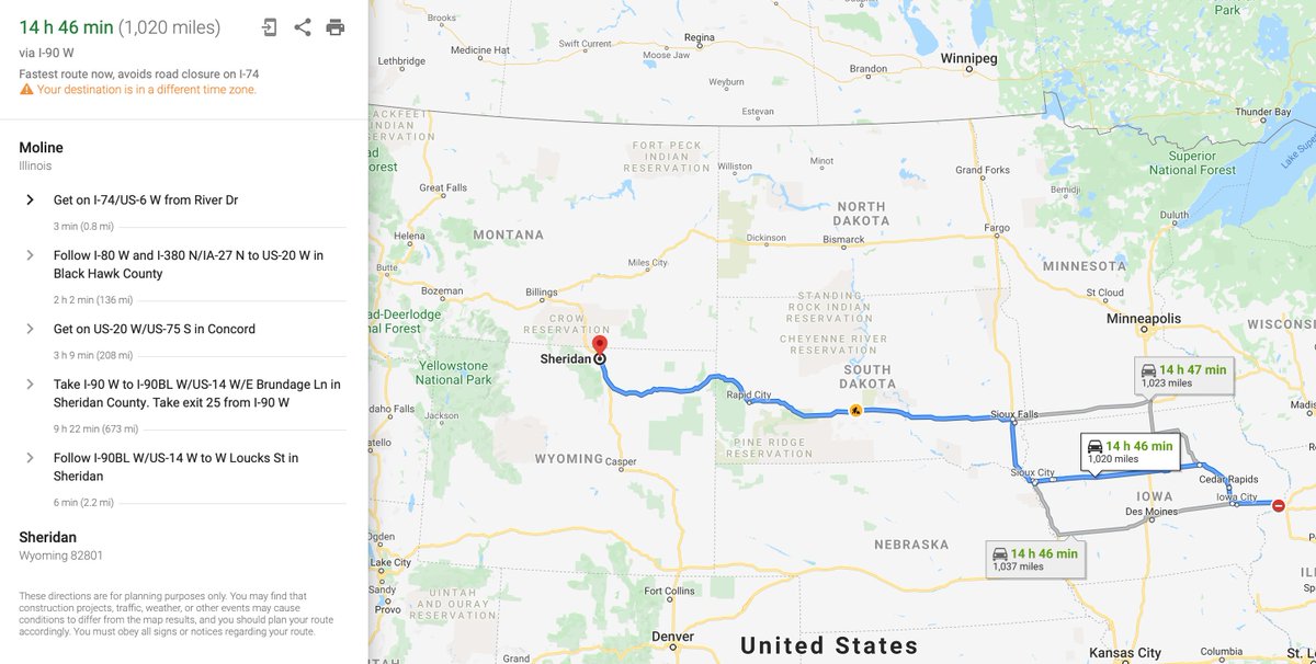
Day 1: planned destination is Quad City Regional Airport in Moline, IL. Picking airports for a trip like this includes several factors. My biggest considerations would be fuel prices (as shown on the chart) & the ability to easily get to reasonable lodging at the end of the day.
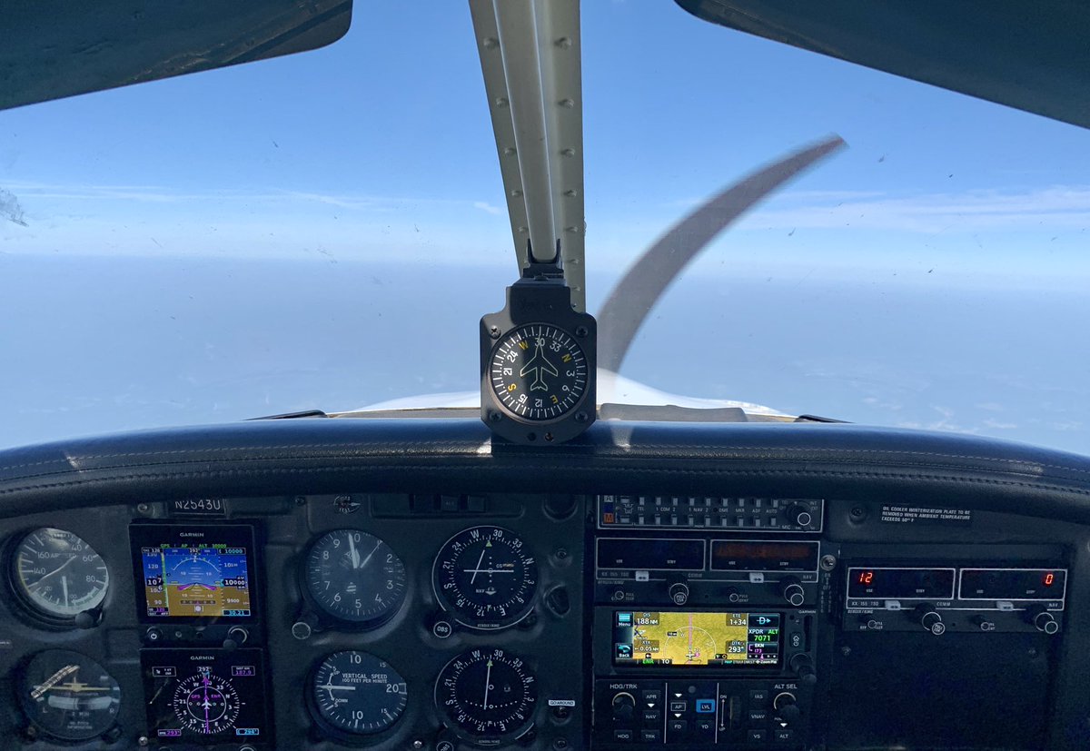
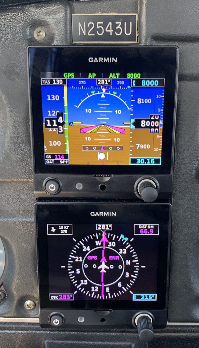
After departing Potomac (VKX), my home field for the last several years, we settled into a nice cruise at 8000 feet.
Running at wide-open throttle, that translated typically into a bit under 130 knots (~150 mph), burning about 10 gallons of 100-octane aviation gas per hour.
Running at wide-open throttle, that translated typically into a bit under 130 knots (~150 mph), burning about 10 gallons of 100-octane aviation gas per hour.
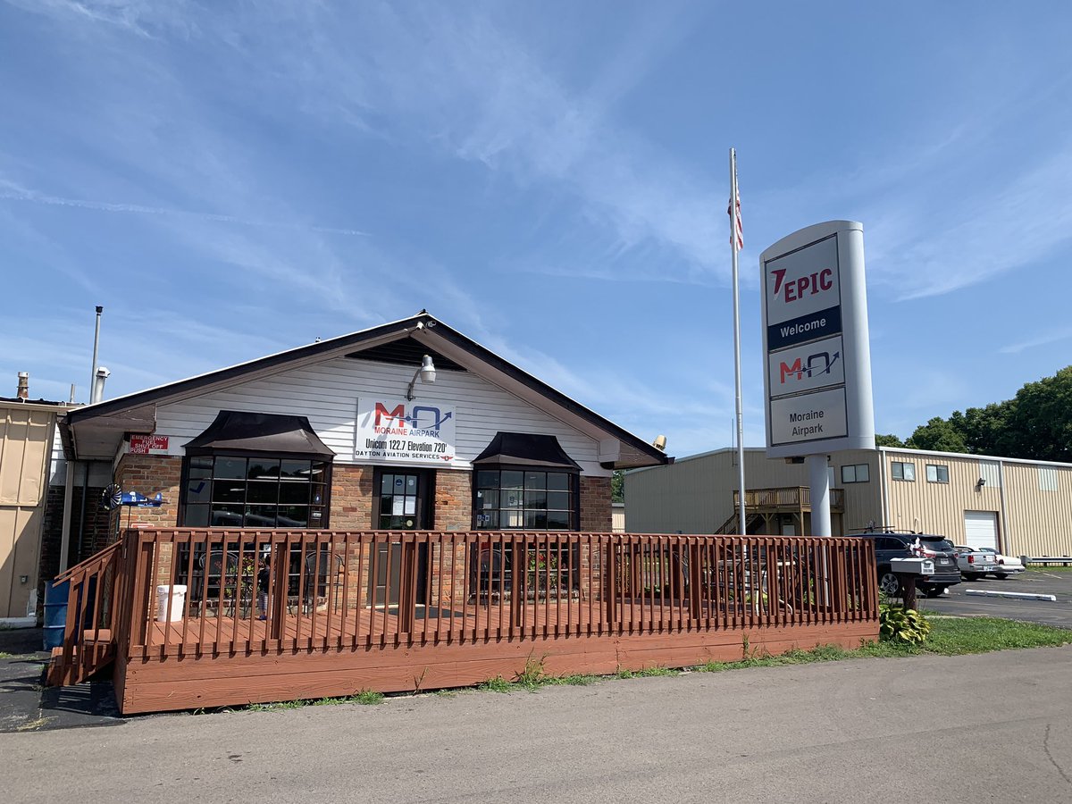
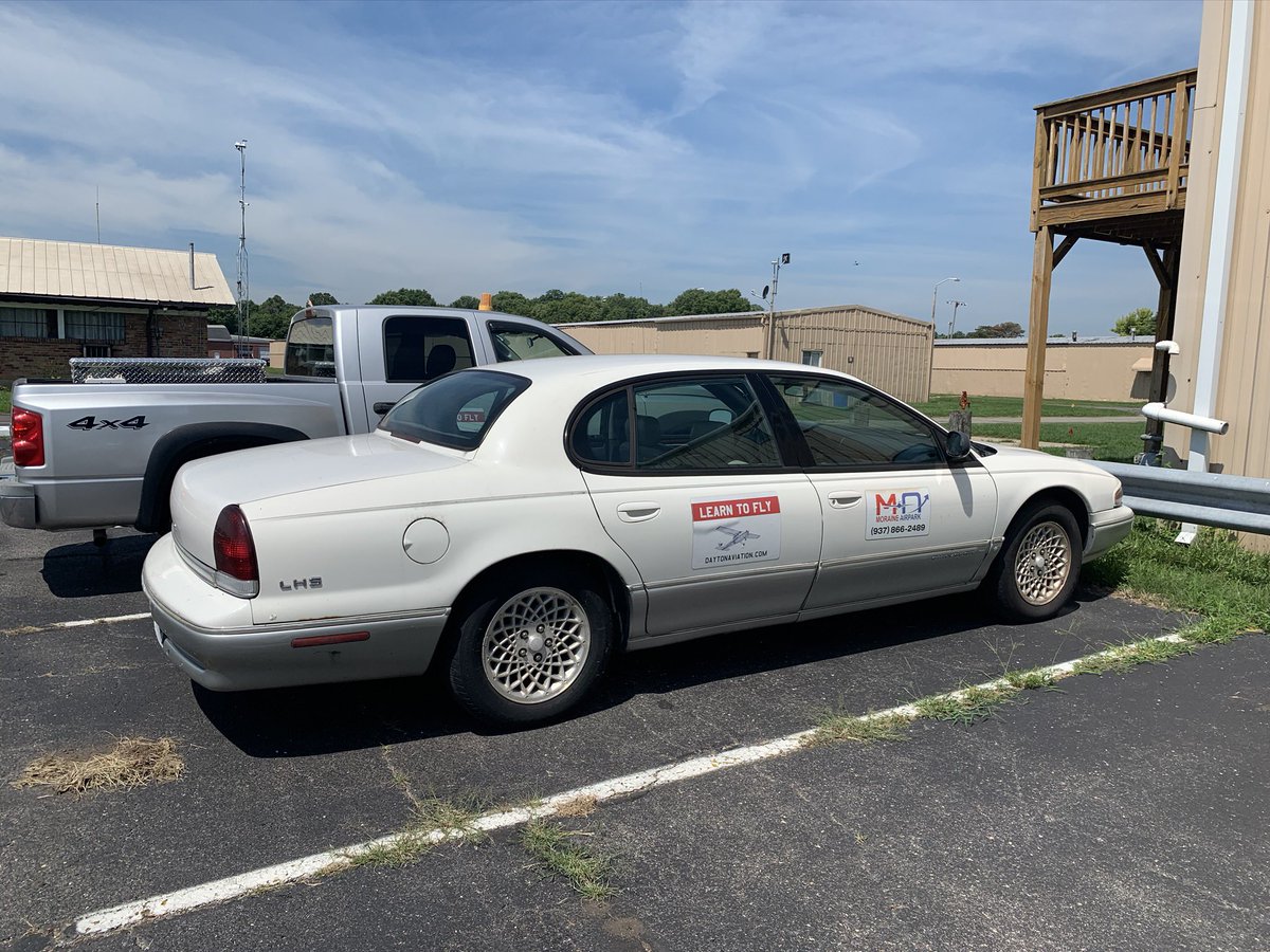
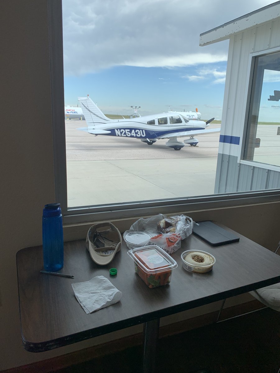
Since the plane carries a max of 48 gal of gas & I like to land with at least one hr of fuel left in the tanks, a stop was required on the way. After about 3 hrs of flying, we dropped in to Moraine Air Park in Dayton, OH. They were happy to loan me a “crew car” to go grab lunch.
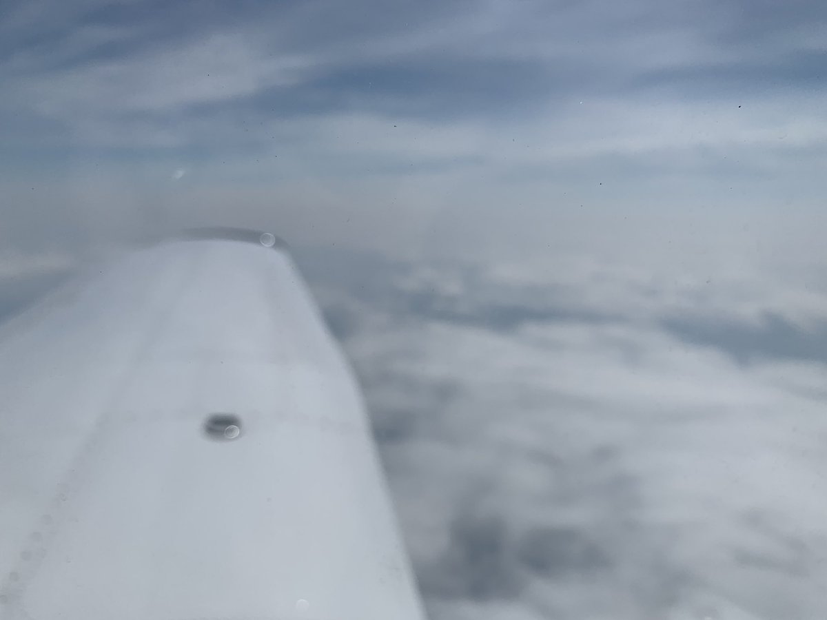
While the weather was typical summer heat and humidity on the ground (and no A/C in the plane), it was great flying weather at altitude, with just some scattered clouds and nice, cool air.
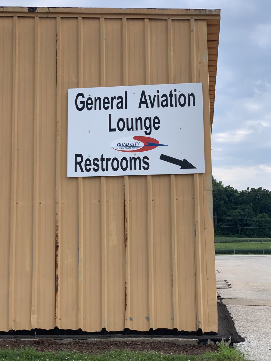
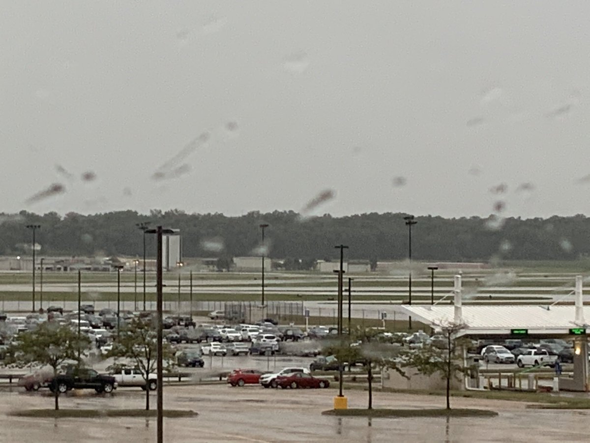
Touching down in Moline IL at Quad City Regional, I tied 43U down securely for the night, took care of other business, and worked on getting a ride to the other side of the field where my hotel was. With no ride-hailing services available, airport staff kindly gave me a lift.
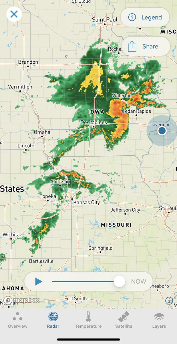
The next AM I woke to find the path to my next stop (S. Dakota) blocked by a huge arc of storms making its way across the plains. It looked like I might be able to shoot a gap around Omaha, but by the time I was packed up the gap had already closed & I cancelled my ride.
As the day went on, I waited in my room for the storm to pass, watching its progress - perhaps I could get a leg in at the end of the day without going too late, with the storms expected to come through in mid-afternoon. So I asked for a late check out and settled in to wait.
When the storm was about 30 minutes away, I turned on the TV to find programming interrupted by local meteorologists exclaiming how the storms had picked up speed & would be exceptionally violent, with hurricane-force winds.
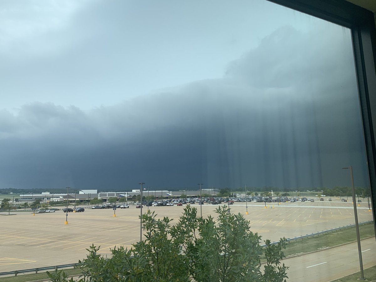
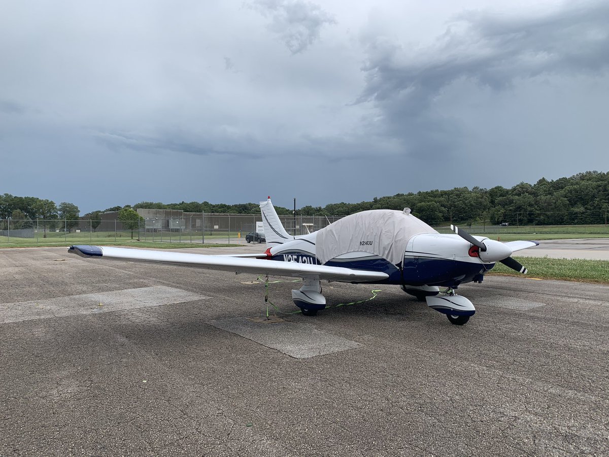
My stomach knotted as I realized there was no time for me to move the plane indoors or do anything about it - it would have to ride out the storm on its tie-downs, exposed to what were now expected to be 90 mph winds and who knew what else.
Through my hotel window, which looked directly out at the airport, I saw the storm’s approach, then watched as it lashed the airfield, laying the tree in front of my window nearly flat, shredding flags on the airport’s flagpoles, and knocking out out the hotel’s power.
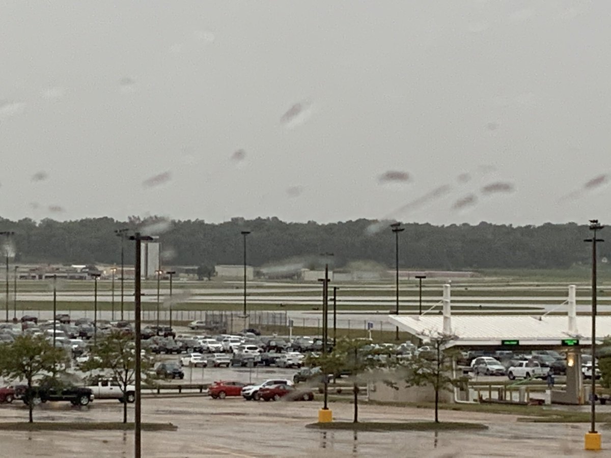
With 43U on the other side of the airfield, I couldn’t see how she had fared. Once the storm abated, I called the airport and asked to be put through to the tower, hoping they could at least tell me if she was still in one piece. The answer: yes, looks like it’s still there.
I quickly rented a car & drove to the other side of the field to assess any damage & check on the tie downs - it looked like another line of storms might come through. Driving past knocked over signs & broken trees, I was amazed to find all was well, w/ just the cover a bit askew
Well, that’s all I have time for now...next up, Day 3 and on to South Dakota.
To be continued...
To be continued...
Ok, continuing on! The goal for day 2 of flying was to make it past Rapid City SD to either Gillette or Sheridan WY. Either would make a good starting point to launch my 3rd day of flying - into the mountains of Montana - and it would be a 3-day leg to make it to either one.
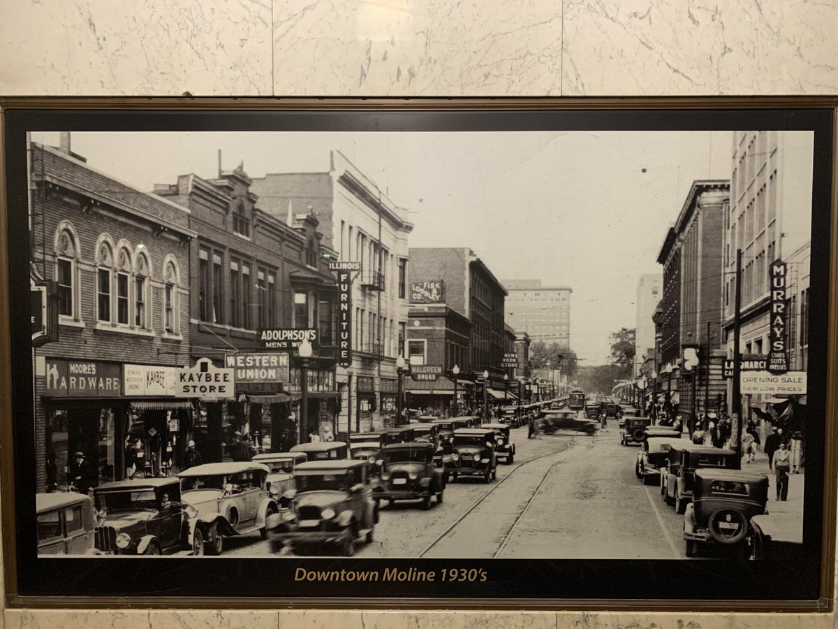
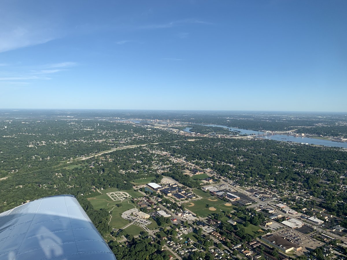
I had ended up moving to a different hotel the day before as the power showed no signs of coming back & I wanted a good night's sleep in a cool room. The new hotel was downtown, which gave me a chance to run around downtown Moline (see pic from the 30s) & along the MS river.
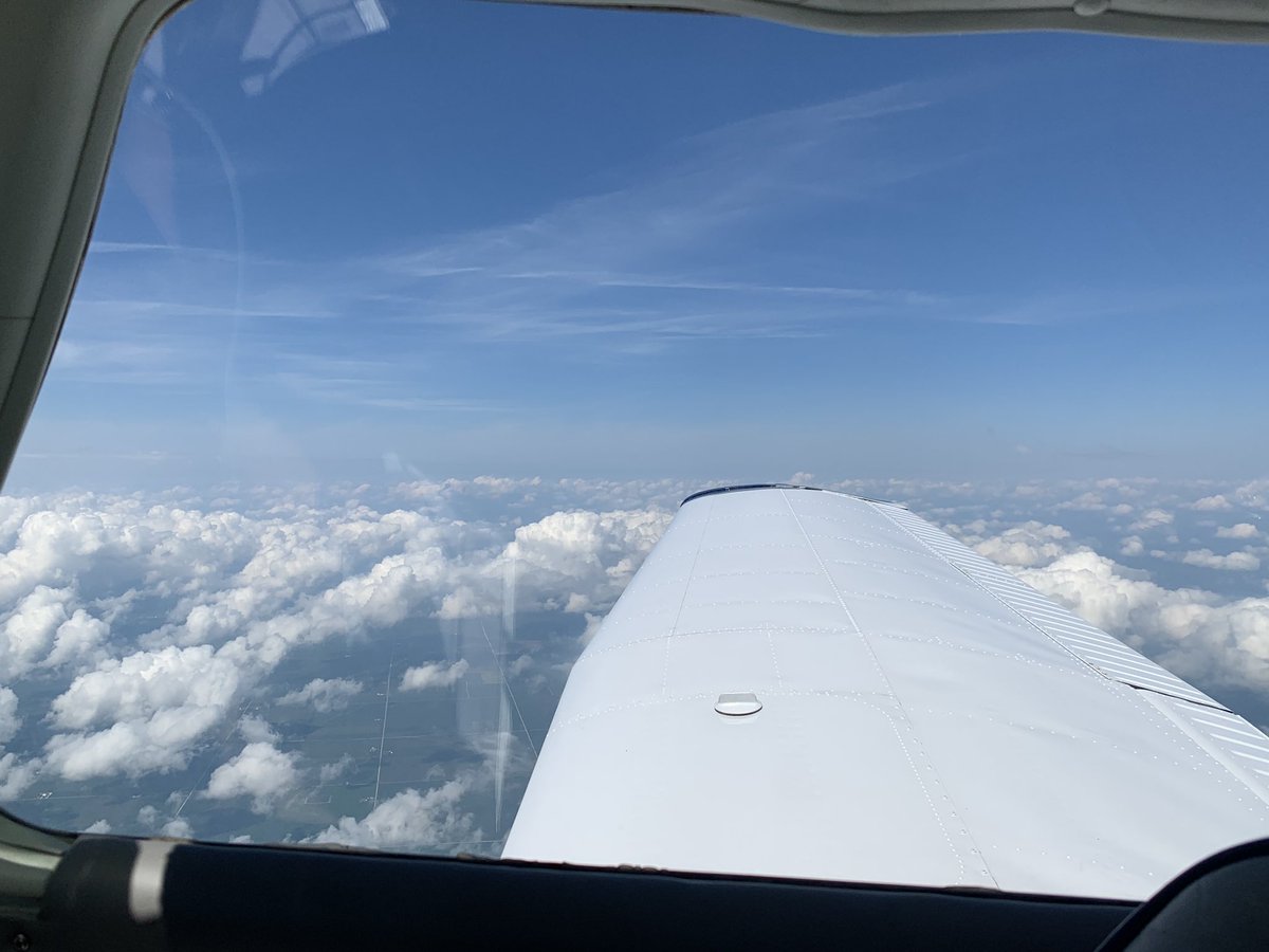
In any case, with the previous storms having been driven by a cold front, the weather that AM was crisp and gorgeous - perfect flying weather. You can see here downtown Moline with Iowa across the river, and the Rock Island Arsenal on an island in the middle of the river.
Cedar Rapids IA quickly passed underneath, and I soon was out over the open farmland of Iowa.

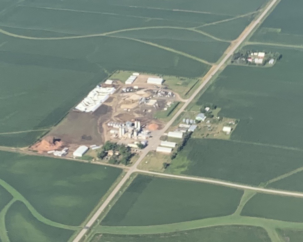
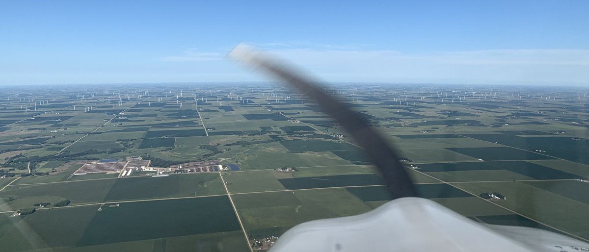
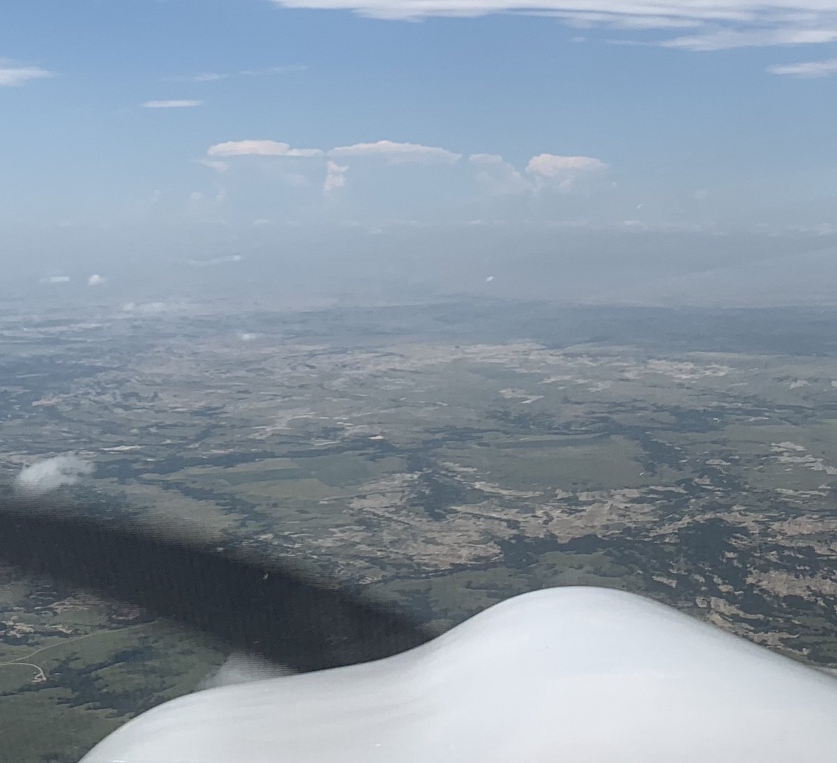
Before long, I started to see obvious damage from the previous days storms, with debris fields extending - all in the same direction - from destroyed and/or damaged structures on some of the farms below. This pic shows what looks like major damage to a structure (left side).
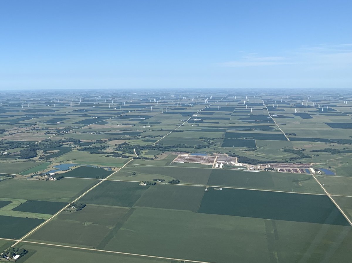
I've heard that some parts of the midwest have gone in big on wind power and saw plentiful evidence of this, with many wind turbines dotting the landscape of central Iowa. None appeared to have been damaged, though none were turning either - probably due to light winds that day.
After almost 3 hrs, I landed at Lincoln Co airport in Tea, SD, just outside of Sioux Falls. It was an easy choice to stop there as the gas was 70 cents cheaper & it was a small easy-in-and-out non-towered airport. (airports w/out towers are magenta on the chart, those with blue)
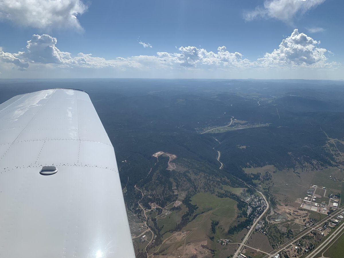
After a quick snack, leg stretch, etc., I was back in the air to my next stop, Rapid City SD, just east of the Black Hills. The weather was still perfect and time passed quickly, with Badlands National Park soon passing under.
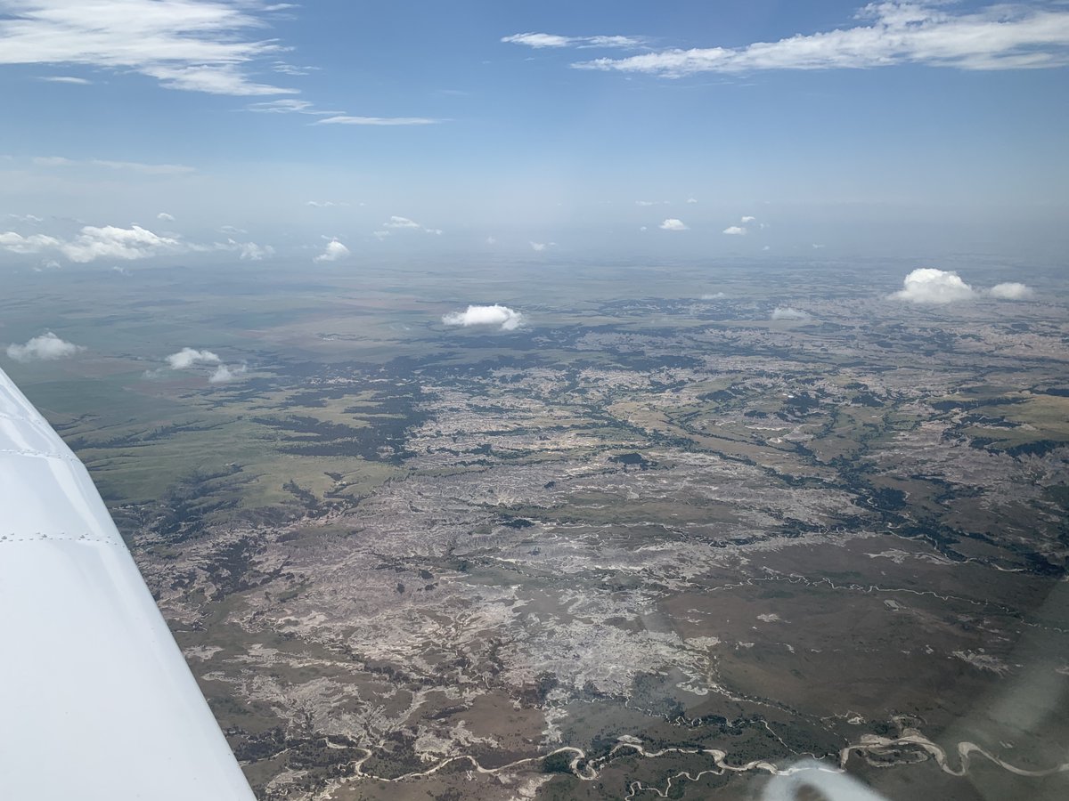
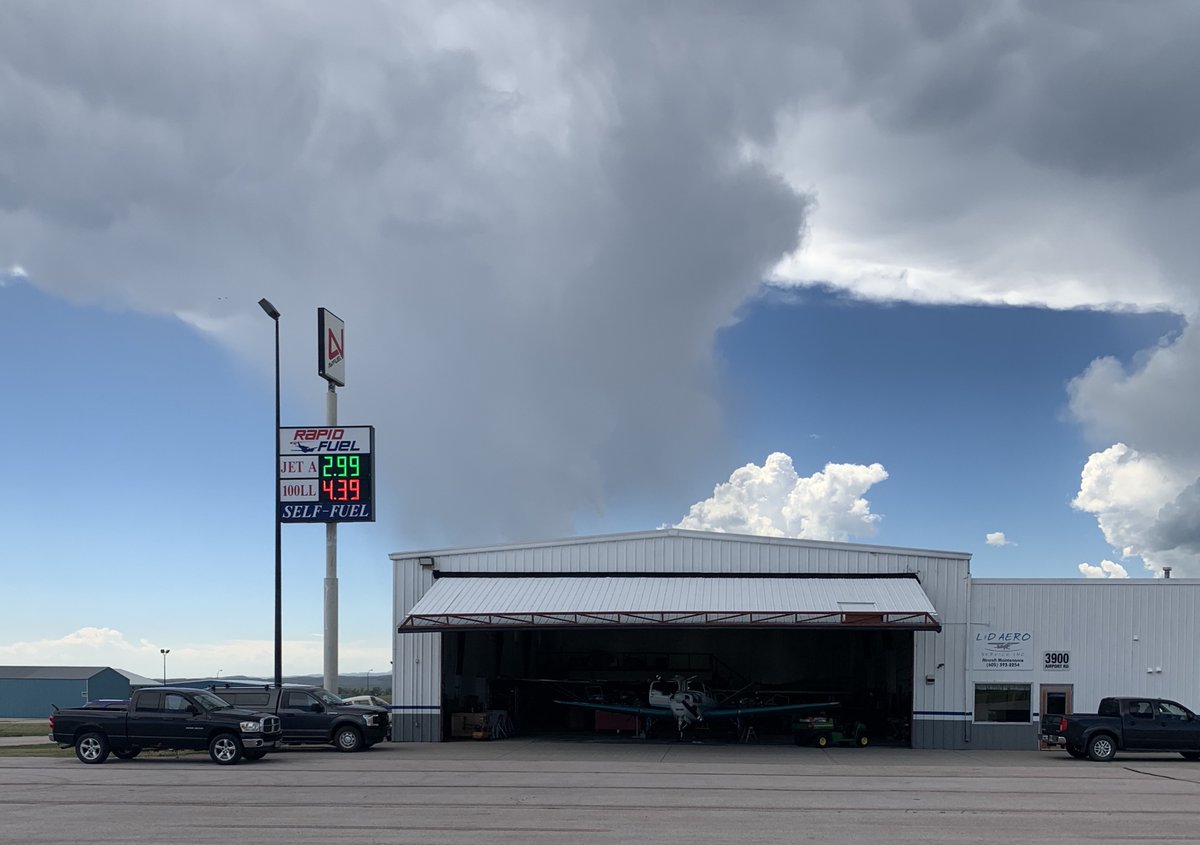
As I approached Rapid City, I could see where the Black Hills were from 50+ miles away, with towering cumulus clouds caused by was probably lifting action from the hills' higher elevation. The cells caused me no trouble on my approach, as the rain didn't even reach the ground.
As I prepared to land I had to keep in mind I was no longer in the flatlands - that airport altitude and temperature mattered in a way I wasn't used to. With the airport elevation and summer heat, the equivalent (density) altitude at the airport was almost 6000ft.
What this would mean was that with air much thinner on landing than I was used to, I'd have to carefully adjust my engine's fuel mixture rather than just go to "full rich" as I normally would back home. I'd also have a much higher ground speed than normal, and more limited power.
With that in mind, the landing was uneventful. I made a quick stop for fuel, a snack, and an assessment of my planned last leg of the day, deciding to head on to Sheridan WY, about 90 min away. This would set me up well for my next day - to cross the Continental Divide in MT.
Soon after taking off I passed by the Black Hills, as well as the reason why my stop at Rapid City was not an overnight one - Sturgis. I'd been mystified by hotel prices in Rapid City until I saw a story that the rally there was still happening, COVID or not. Hard pass, thanks.
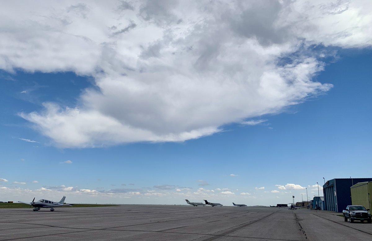
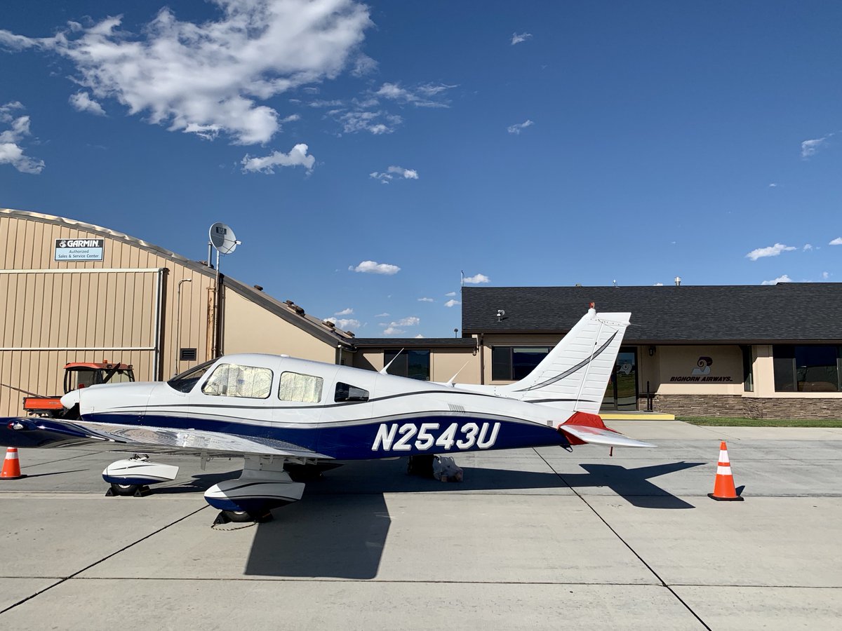
The afternoon was a bouncy one, with thermals from the hot weather. I followed I-90 VFR & soon arrived at Sheridan, where the folks at Bighorn Airways welcomed me for the night. For a non-towered airport, the field was huge, & it felt odd to taxi so far w/out ground controllers.
Thus ended my 2nd day of flying. It was a long one (for me), with over 7 hrs of flying. But if I'd driven it would have taken 15 hrs to do so - so no complaints from me, especially since the autopilot had done 99% of the steering.
Next up: day 3 of flying, into the mountains...
Next up: day 3 of flying, into the mountains...
Ok, continuing on...after my 3rd day on the road and 2nd day of flying, I settled in at Sheridan WY. As I reviewed the weather for the next day, I saw what looked like pretty high wind speeds (well over 30 knots) at my planned altitudes as well as forecast turbulence.
In my reading up on mountain flying, I remembered reading about mountain wave turbulence, how it can be very unpleasant & quite dangerous for light aircraft in particular. I recalled that it starts happening when wind across nearby mountaintops exceeds 25 kts.

Deciding that it was better to be on the ground wishing I was flying than to be caught in a bad situation wishing I was on the ground, I decided to delay for a day (the winds were supposed to be lower the next day) and take the time to get some local knowledge on the mountains.
I called a number of flight schools in Missoula, Bozeman, and Butte, Montana, asking if I could talk to some local instructors experienced in the area - to run my route past them & discuss what wind conditions would make them think twice. Several generously took time to chat.
I learned that while the weather that day wouldn't have been dangerous given my planned altitude, it might have been pretty bumpy. They also confirmed that my route should be a safe one, and that I should have plenty of clearance that would provide a margin of safety.
I was also able to spend some time over the day watching real time air traffic on my iPad, observing where local aircraft were flying along my planned route, at what altitude, etc. At the end of the day, I felt assured that the next day would be a good, safe day to fly.
Eager to get on my way with hopes of making it all the rest of the way, I woke very early the next morning and headed to the airfield in the pre-dawn darkness. In the air within minutes of sunrise, I was treated to cool, smooth air and beautiful Wyoming vistas.


Rounding the corner of the mountains SW of Billings and then heading west, I could soon see the saddle of Bozeman Pass in the distance. While my instruments showed a headwind of over 30kts heading over the pass, the ride was quite smooth with plenty of clearance.

Dropping partial flaps and chopping the power, I made a quick descent down into the valley and was quickly on the ground at Bozeman for some fuel and a quick break before I headed through several hours worth of more mountains and over the continental divide.


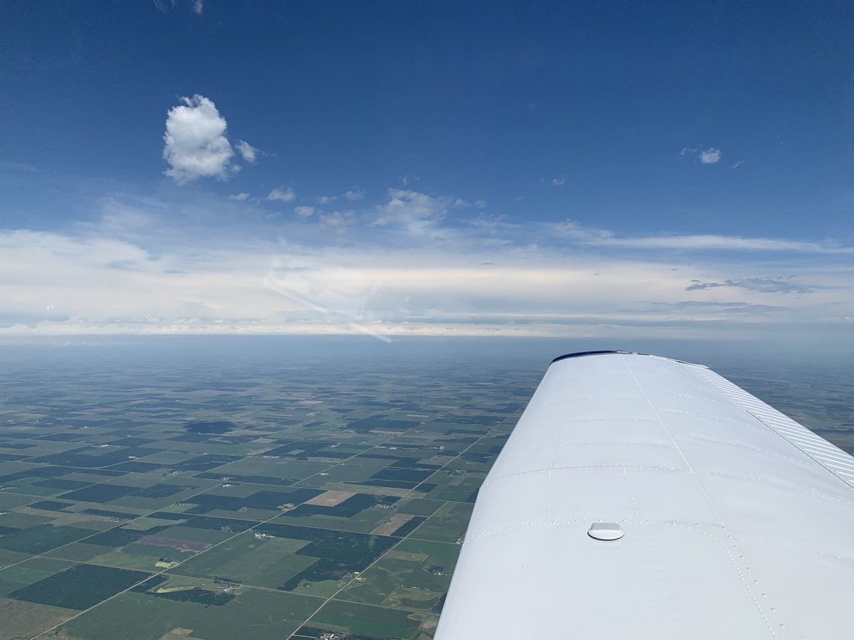
The next 3 hrs would be almost all within the mountains of MT until I popped out the other side by Spokane. Pecking and dragging a route on my iPad that followed I-90 so I'd have somewhere reasonable to land in case of an engine failure, it looked like I'd have good clearance.

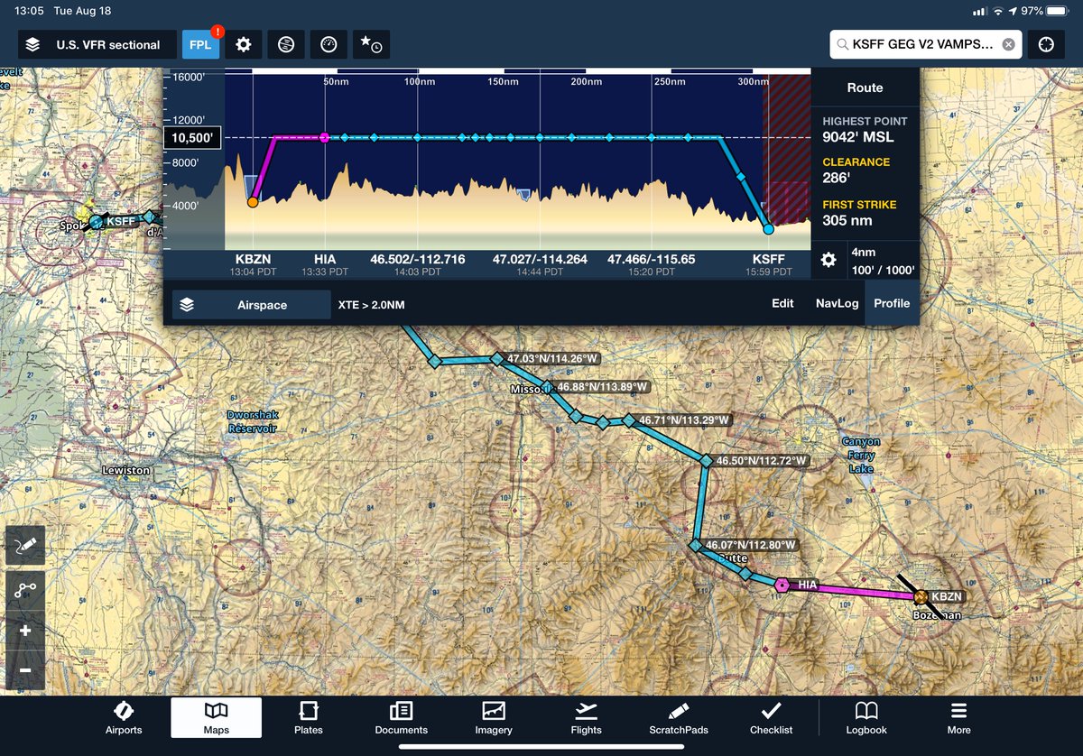
Once I lifted off and settled in, I quickly made easy progress through the mountains. Transferring my route to my Garmin GPS via bluetooth, from there the autopilot flew the route for me while I enjoyed the view & smooth ride. Here's the infamous Berkeley Pit in Butte, MT.


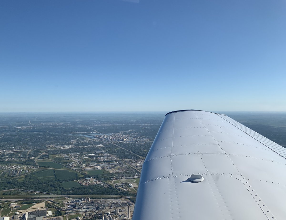
Before I knew it I was dropping down out of the mountains into Spokane's Felt Field for some lunch and fuel before I started out on the last leg of my trip cross-country - over the Cascades and into the Seattle metro area to Puyallup.

Having made great progress that day, I had plenty of time to settle in and take a nap in the awesome "snooze room" at Western Aviation's incredible FBO facility. But I quickly found I was too keyed up with anticipation to really get any sleep, and decided to press on.

Soon I was over the farms and relatively flat expanse of eastern Washington, bouncing in the afternoon thermals and spying a huge number of parked Boeings at Grant County Intl (Moses Lake).


Before long I could see in the distance the clearest sign that my journey was nearly over - Mt. Rainier rising above the rest of the Cascades. After I turned NW and headed over the mountains, Rainier passed my left wingtip and I dropped down the other side to Puyallup.


So now the trip was over. Over the course of it I flew for almost 22 hrs, burning 185 gallons of avgas over about 2500 nautical miles.
It was a great experience, and I definitely learned a lot as a pilot. If you're still reading at this point, thanks for coming along!
Fin.
It was a great experience, and I definitely learned a lot as a pilot. If you're still reading at this point, thanks for coming along!
Fin.