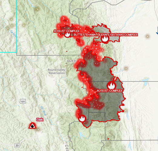
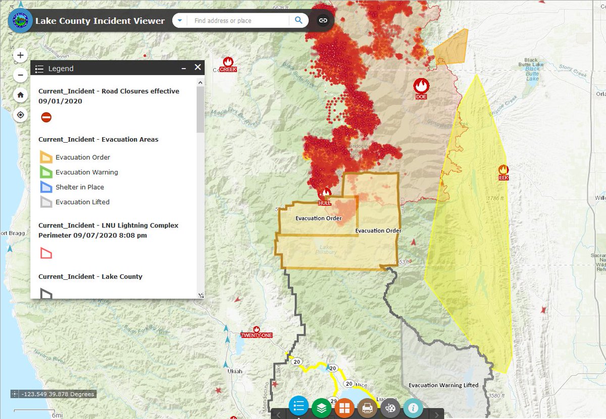
Most fires are human caused. Don't be like the party that started the #ElDoradoFire or go hiking in rough terrain, or disaster tourism.
Have a care for the 1st responders ❣️
PG&E: pgealerts.alerts.pge.com/outages/map/
SCE: sce.com/outage-center/…
San DiegoSDE: sdge.com/residential/cu…
CA ISO (whole State): flexalert.org
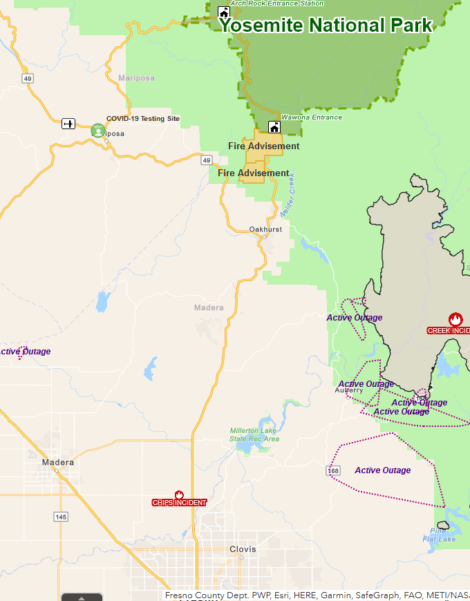
CA, US Map (has outage layer choice): arcg.is/0va14P
#FireMappers
HEED EVAC INFO. Shelter in place safely, make your moves to be prepped, get going while it is easier than getting stuck in traffic. Also when power goes, gas sta. go down, too.
Thanks, Sarah❣️
(She's been doing citizen reporting on fire & post-fire for Sonoma, Napa and nearby areas- Follow her)
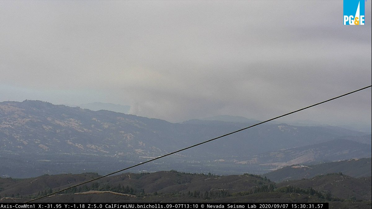
View from Cow Mtn 2 cam courtesy of alertwildfire.org/northbay
live cams- #OakFire in Mendo is also visible on the Cleland 1 & 2; Sanel alerttwildfire.org/northcoast
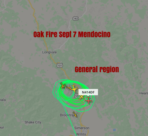
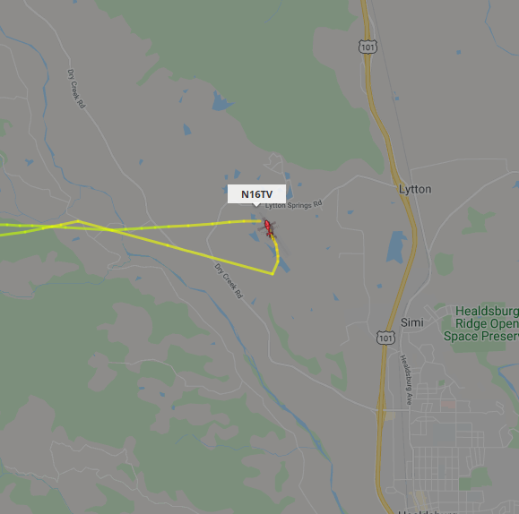
Fire Fighting above (Often as "AA" for Air Attack)
as of 3:50 PM
from FlightRadar24.com
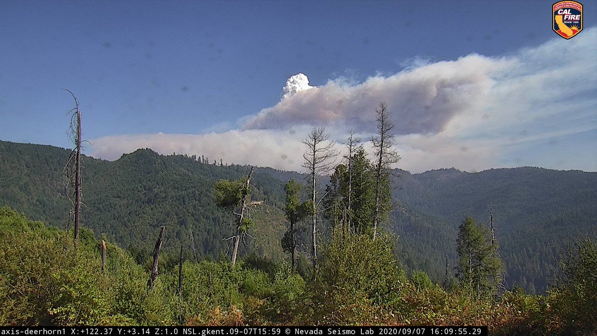
Not being left out for afternoon fire plumes (pyrocumulus nasa.gov/topics/earth/f…)
Map: arcg.is/1jviOO
Cams: alertwildfire.org/northcoast
Screengrab from Deerhorn cam
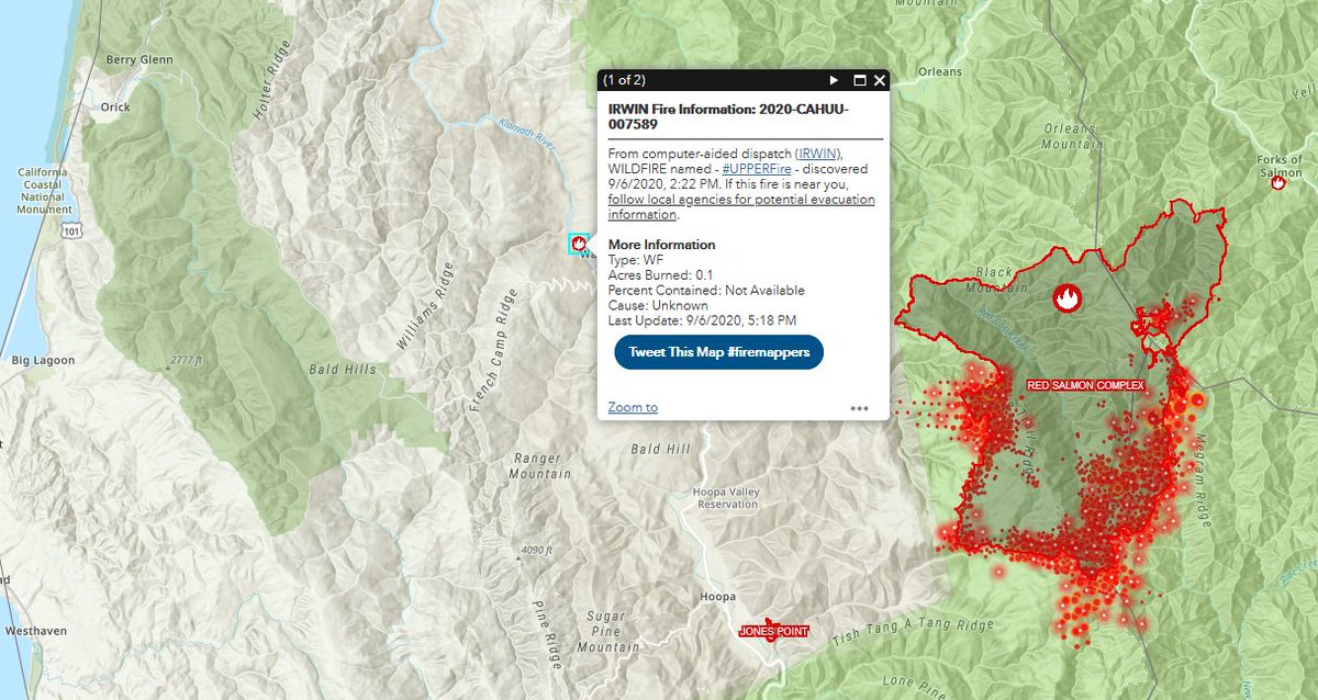
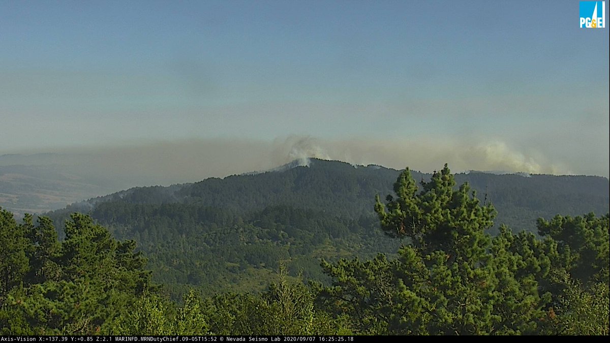
#WoodwardFire Pt Reyes National Seashore is still quite active. Wind is shifting now
alertwildfire.org/northbay/index…
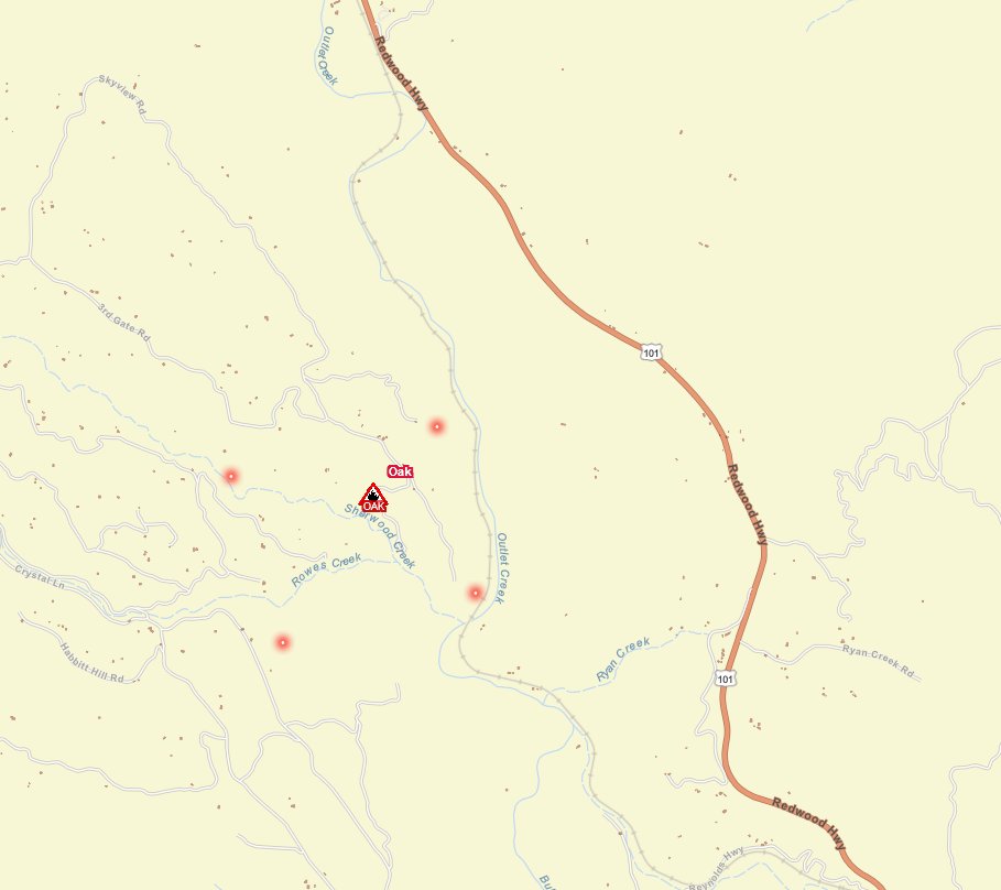
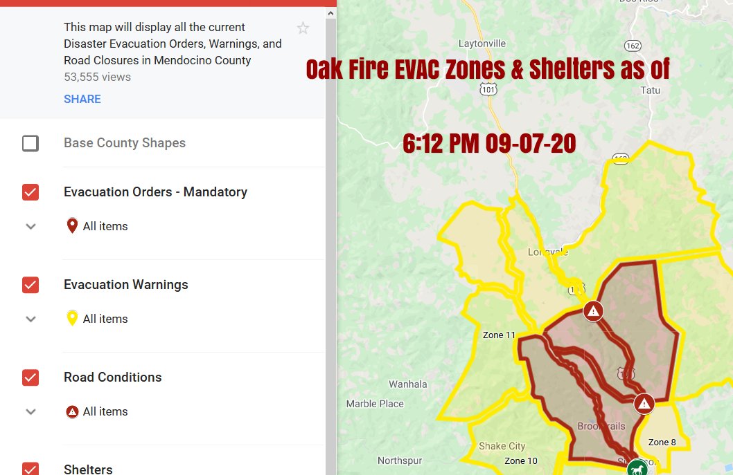
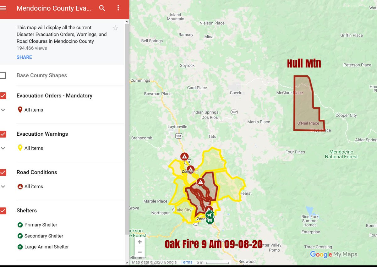
EVAC ZONES MAP:
sartopo.com/p/7561
local.nixle.com/alert/8230108/
Road Conditions: quickmap.dot.ca.gov
-HEED EVAC INFO-
EXPANDED EVAC ORDER (Mandatory)
Evacuation Order for Western portion of Brooktrails
Map: tinyurl.com/MendoEvac
local.nixle.com/alert/8230172/
MAP: Map Link: napsg.maps.arcgis.com/apps/webappvie…
#FireMappers
Aerial Activity: flightradar24.com/N16TV/25708e50
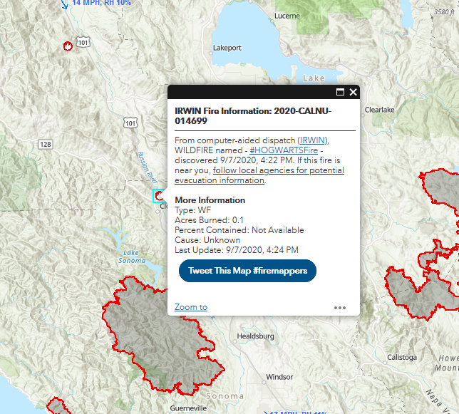
Mendo EVAC map: tinyurl.com/MendoEvac
More details map: bit.ly/3gzPtqt
#FireMappers
