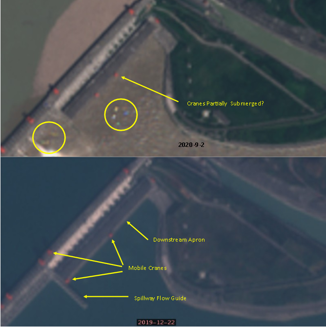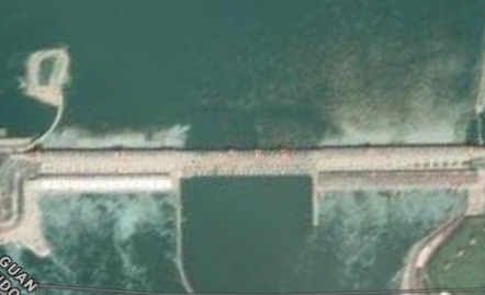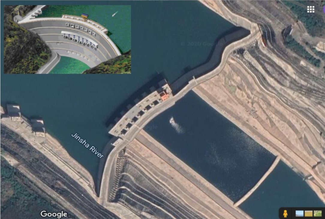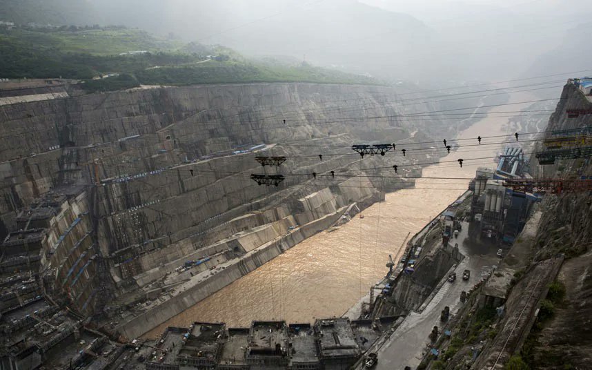
🚨New satellite images show the #ThreeGorgesDam has been deteriorating progressively since 2012.
More images and links in the thread below, but first a slideshow showing the progress of deformation over time. I've highlighted 3 points where it is most obvious.
#三峡大坝
More images and links in the thread below, but first a slideshow showing the progress of deformation over time. I've highlighted 3 points where it is most obvious.
#三峡大坝
It should be noted that the deformation is exaggerated by Google Earth as it computes a 3D model from different images. This is the original 2020 image in 2D without such distortion. It was taken on 9th July 2020. 
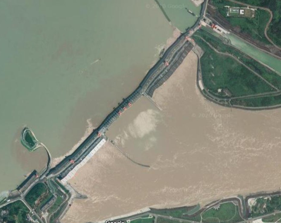
Here is the link to the image above. Take a look around and see if you can find similar distortion on any other straight-line structure or road.
google.com/maps/@30.82253…
google.com/maps/@30.82253…
Satellite images can also be distorted because of the movement of the satellite or atmospheric conditions. However such anomalies should be random and are generally not as severe as we see in the image above.
So, it seems #ThreeGorgesDam is either in a very precarious and unstable condition, or it enjoys the privilege of being the only structure in the area suffering consistent and progressive satellite image distortion year after year.
One other thing to observe from this image is that the water downstream is carrying much more silt than the upstream. Two possible reasons:
1. Deliberate de-silting through low level gates
2. Water is flowing under or through the dam drawing and creating silt with the flow.
1. Deliberate de-silting through low level gates
2. Water is flowing under or through the dam drawing and creating silt with the flow.

I covered more in this thread, which in turn contains more links to information concerning the perils of the #ThreeGorgesDam.
Please note it uses images from Sentinel-2 satellite, which auto-corrects any unexpected distortion back to straight lines.
Please note it uses images from Sentinel-2 satellite, which auto-corrects any unexpected distortion back to straight lines.
https://twitter.com/KevD00D/status/1302356091024502784?s=20
If you feel like stretching your imagination a little, @paul_furber has been covering the musings of a supposed anon insider with detailed intelligence of the dam's problems.
Paul's site: paulfurber.net/bda/index.html
Type 'dam' in the search box or search #BigDickAnon here.
Paul's site: paulfurber.net/bda/index.html
Type 'dam' in the search box or search #BigDickAnon here.
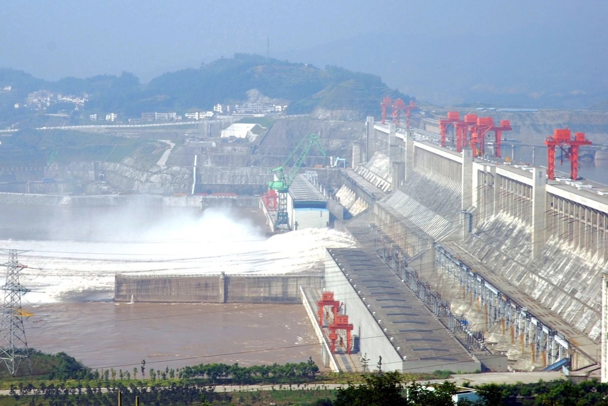
Note the governing Chinese Communist Party #CCP has the area under lockdown and has made a concentrated effort lately to put out a lot of positive propaganda showing a nice straight dam. It is practically impossible to assess the real situation at present other than by satellite.
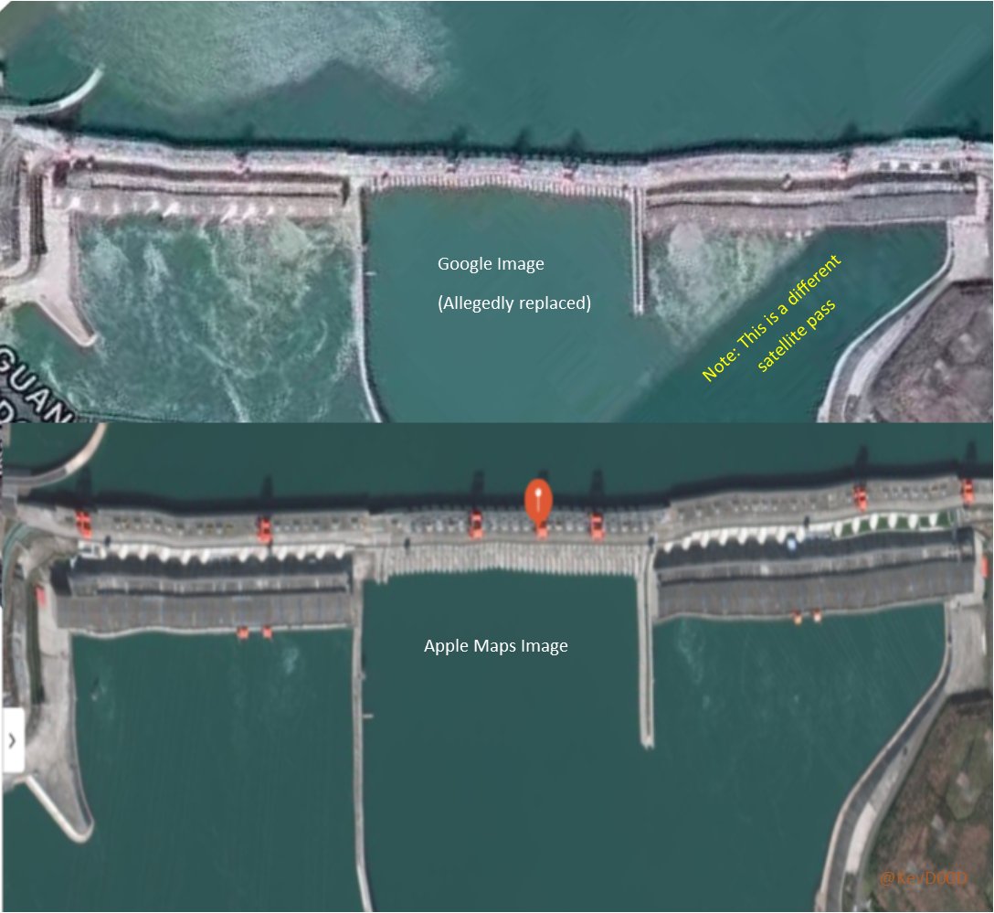
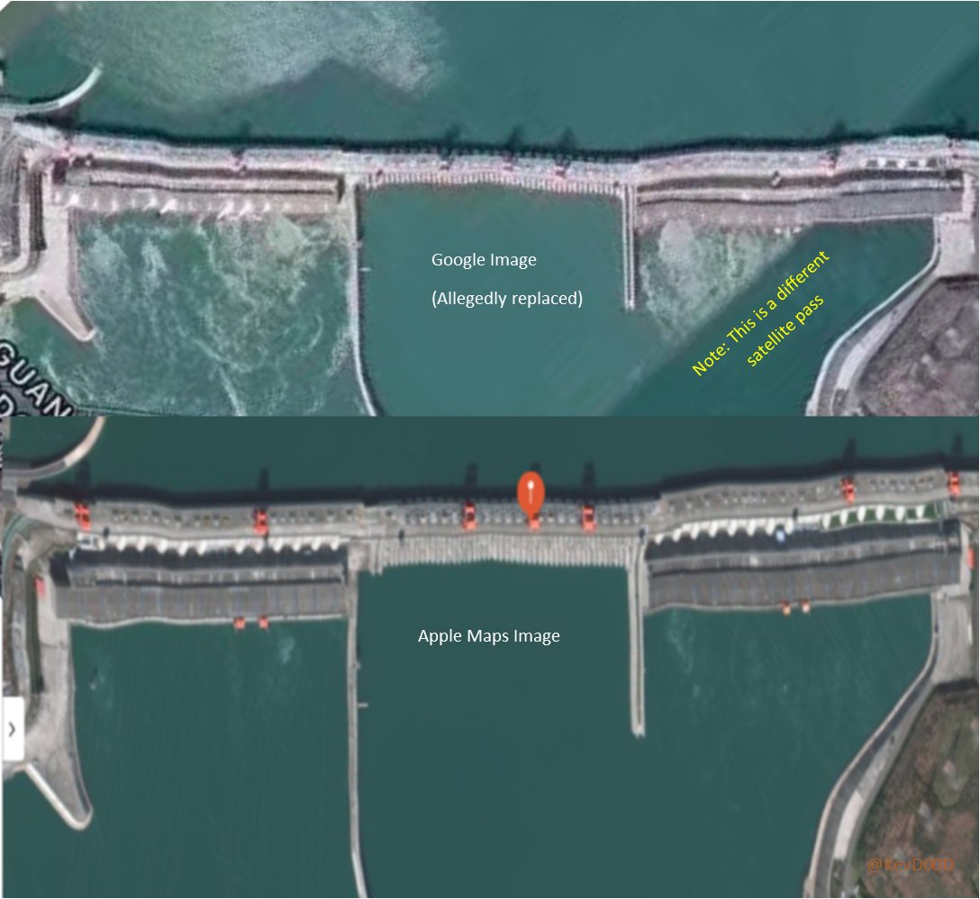
A separate image from Apple Maps shown in this thread shows the same deformation pattern as the others:
https://twitter.com/KevD00D/status/1313557757463851008?s=20
• • •
Missing some Tweet in this thread? You can try to
force a refresh


