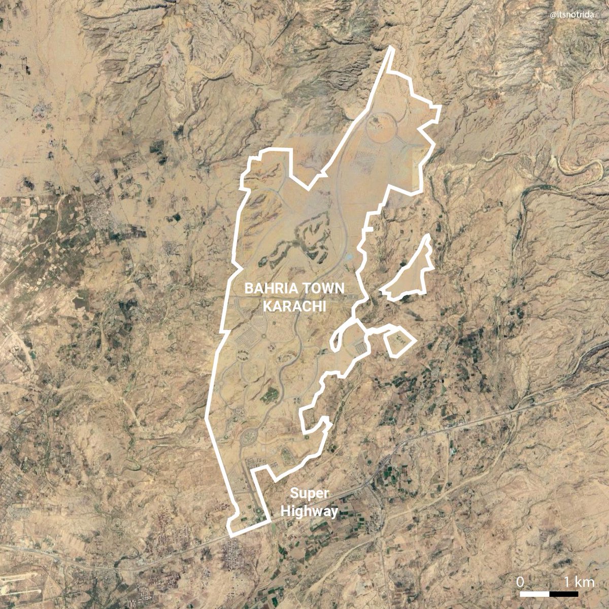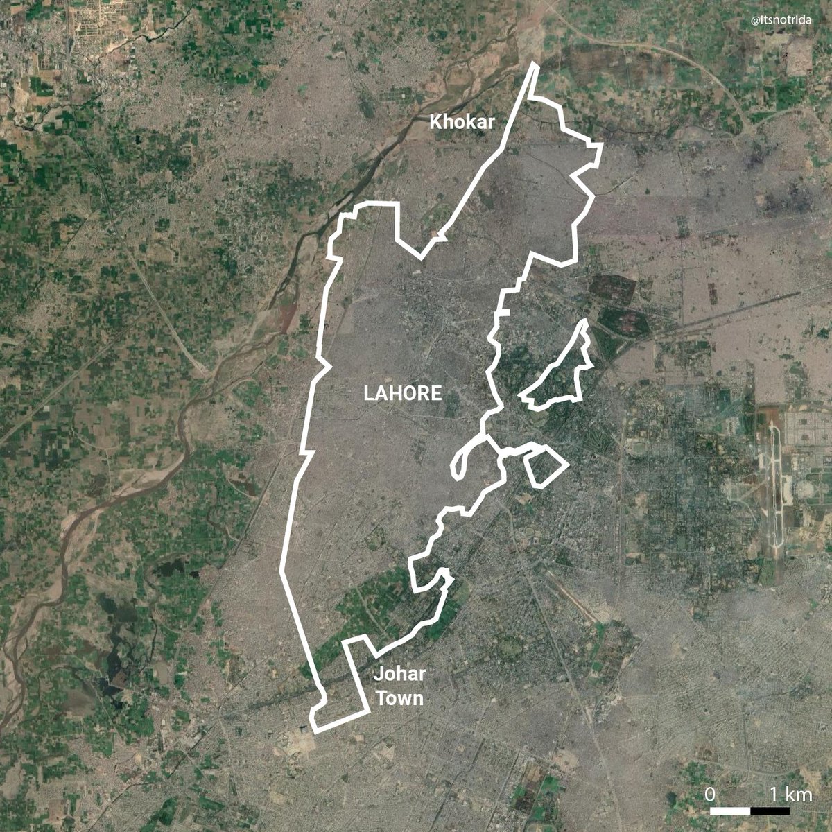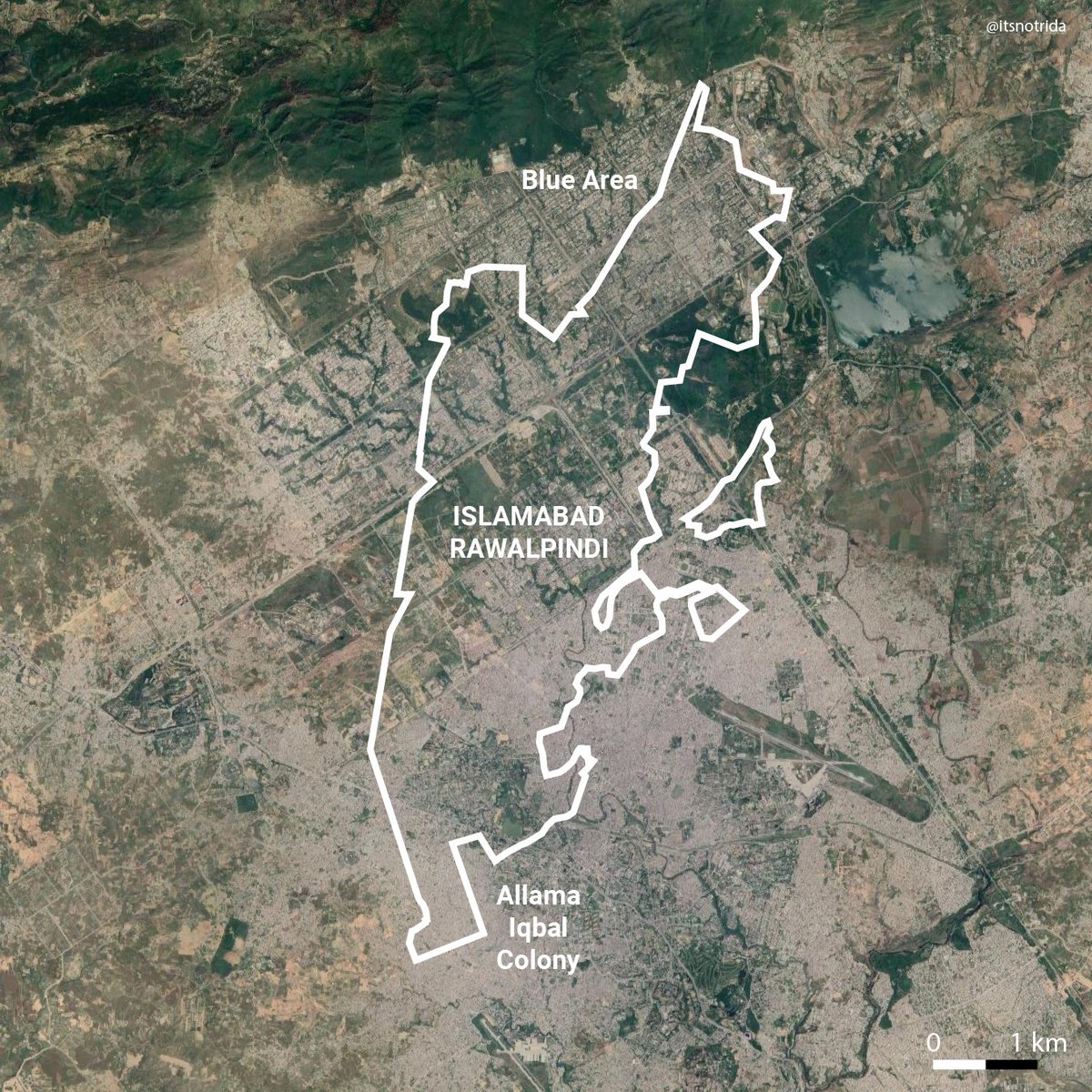
Pakistan's largest mosque is being built in Bahria Town Karachi.
The satellite image is a keymap. Everything in colour is in the viewpoint of the photo. Let's harmlessly explore what they want us to see:

The satellite image is a keymap. Everything in colour is in the viewpoint of the photo. Let's harmlessly explore what they want us to see:


2. More goths that will be no more according to the Master Plan. One will be a park. The current build out highlights roads (white) aligned to go through villages and farmland. So, has this land actually been acquired or are these people resisting? 


This behaviour is not unlike BTK, it just highlights the impunity with which they operated: sell first, acquisition dekhi jaye gi.
In October of 2020 indigenous locals were strong-armed and their properties destroyed:
dawn.com/news/1583469
In October of 2020 indigenous locals were strong-armed and their properties destroyed:
dawn.com/news/1583469
3. Another lucky goth, encircled by Bahria Town, not part of any build out. Yet. Consider the case of the following goth: 

4. Another goth (geotagged in one source as Ali Mohammad Gabol goth) encircled just south of its golf course. Precincts 20, 27A surround it. This area isn't part of the Master Plan. So why then is there development creeping at the northern tip? 


In my practice I try to focus on humans, not buildings, not planning theory, not myself. Hear villagers talk about this. Put a face to this occupation. This is not just empty land, there are homes here.
Who is tasked with protecting them?
Who is tasked with protecting them?
Bahria Town Karachi building the largest mosque in Pakistan is an irony that as a Muslim will never be lost on me. All they need now is to make popular culture flippant of the illegalities by constructing the largest cricket stadium here- wait a second...
• • •
Missing some Tweet in this thread? You can try to
force a refresh


