Snow has started in southern Delaware and the Washington, D.C. metropolitan area already. Clouds are on the increase with temperatures ranging from the single digits in the Catskills to the upper 20s in Cape May, New Jersey.
Updates are on the way with the latest watches and warnings and a public update from our intern @MichaelBrownewx ! No changes to the going forecast at all. I've been pretty much locked in on this storm since Friday.
Meanwhile, the time for models is pretty much done. The storm is here and we can watch it. I don't care about the RPM, NAM, BAM, or Ala Kazam. Let me show you something!
This is this morning's 500 MB pattern. Now, look over the Rockies. You see that ridge? THAT ridge is a HUGE signal. It is a calling card of every single major winter storm that has ever impacted the region.
2. I don't do IMBY questions in general, and especially not in a storm. That is the Premium Live Coverage, which I'll be doing starting at 5 PM until either I pass out or the storm is over. Whichever is first.
Okay, so I think, while, I'm looking over the warning and watches, I just want to touch on my forecasting philosophy, specifically when models do their typical waffling as we get closer to the event.
I personally, do not change a forecast because of one model or another, even the ECMWF, unless there is a fundamental change in the overall 500 MB environment. I think this practice leads to more confusion and hurts sending out the message.
I am sure no matter your location, that you can find a model solution that is to the liking of your back yard, depending on the result you want.
I think no matter what conclusion I come to this afternoon, and I have the idea in my mind but just fleshing out the details, someone will be disappointed. Can’t help that.
I have an idea of what I want to do and been developing the forecast for the past five days in the Premium Area. Now it is just down to location of lifting parameters and thermal gradient analysis on a vertical and horizontal orientation.
Here is the deal guys, I am seeing a LOT of rising air on the NW side of this storm, which means someone is going to get bombed and someone is going to be very disappointed because of sinking air and that gradient is going to be TIGHT.
I want to be on record that I stand with @RogerPielkeJr and against @skepticscience, as I stand against this action of making blacklists and attacks on scientists' careers. 1/9
Look, this is for all the fellow meteorologists, climatologists, and atmospheric scientists that follow this feed. We can all disagree on climate, weather forecasts, theories, and the rest. We can disagree on whether climate projections are realistic or not. 2/9
We can debate how best to improve our ways of developing energy and what is the most realistic path from going from point A to point B. 3/9
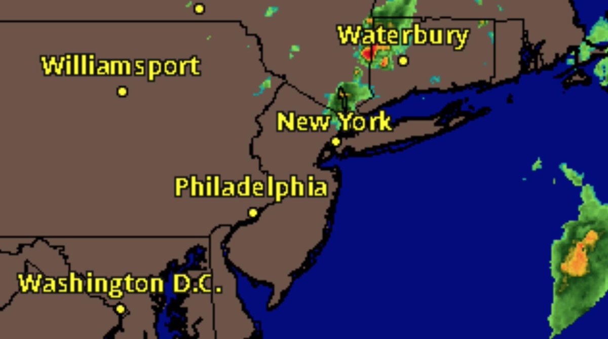
We are pretty quiet right now as you can see, but I suspect that will star to change after 2 PM.
Right now the lower levels of the atmosphere are the most unstable. If you look at this Lifted Index observation map, you might wonder why we aren't see thunderstorms pop up all over the place right now.
The answer can be found at the mid levels of the atmosphere where the atmosphere is far more stable because the air mass is very warm and saturated on up to about 600 MB.