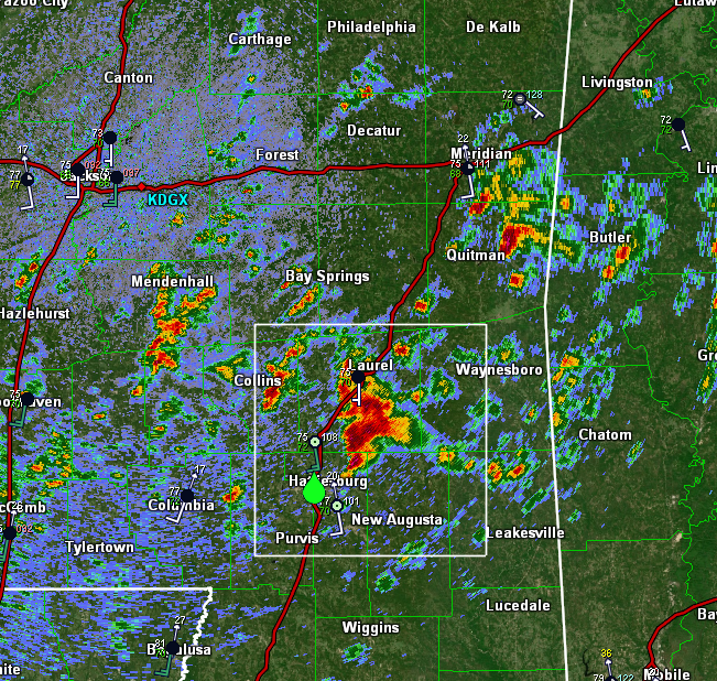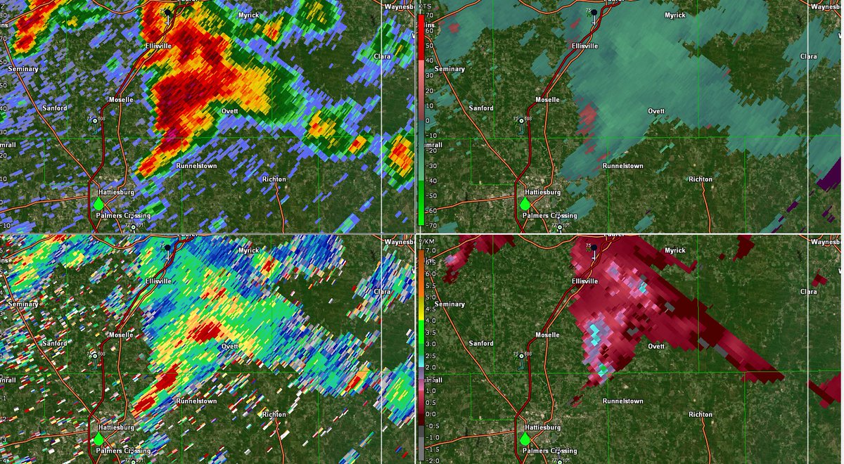
A couple quick takeaways from watching @spann tornado coverage most of yesterday:
-A few short & understandable key messages are repeated frequently
-"You know what to do" and "we've talked about this" are repeated often, helping viewers feel more in control of the situation.
-A few short & understandable key messages are repeated frequently
-"You know what to do" and "we've talked about this" are repeated often, helping viewers feel more in control of the situation.
@spann -There are frequent and detailed descriptions of what exact conditions specific areas are experiencing. I think this is valuable because it may reduce the urge to step outside and "double check", especially when tornadoes are visible from spotter streams or skycams
@spann -He's always up front with what, exactly, we know and don't know at any given moment
-Uncertainty is balanced by constant info on if/when certain questions will be answered i.e. "we'll know in the next five minutes if the warning will be extended into X towns"
-Uncertainty is balanced by constant info on if/when certain questions will be answered i.e. "we'll know in the next five minutes if the warning will be extended into X towns"
@spann -Body language and tone of voice do a **ton** of heavy lifting. He's relaxed and speaks in a steady tone at a steady pace. A (tiny) bit of extraneous info is sacrificed for subconscious cues that the situation is under control.
@spann -Deep deep knowledge of local landmarks is extraordinarily valuable. He knows not just every town and every county but every BBQ joint, every movie theatre, every road name, etc.
This allows viewers to get their bearings regardless of which landmark is most meaningful to them.
This allows viewers to get their bearings regardless of which landmark is most meaningful to them.
@spann -He skillfully balances his own analysis with NWS warning information i.e. "the Weather Service is absolutely doing the right thing by including X town in the polygon since we know tornadoes change direction rapidly, but at this time, Y and Z specific towns are most at risk now."
@spann -He gives people a light at the end of the tunnel by clearly outlining when the danger will be passed for any given town, both ahead of time "X town, hang on in your shelters for another five minutes or so" and once the all clear can be sounded.
@spann One could probably write a whole communications textbook or two or three based just off Spann's tornado coverage, but these were some of the main points that stuck out to me yesterday.
Also, *so* many people did *amazing* work yesterday, I just happened to be watching @spann.
Also, *so* many people did *amazing* work yesterday, I just happened to be watching @spann.
• • •
Missing some Tweet in this thread? You can try to
force a refresh


