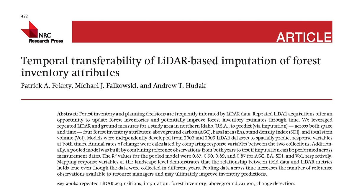
#Lidar is an operational technology for #forestinventory. Single-photon lidar (#SPL) may provide an acquisition advantage for large areas. How does #SPL perform in an area-based #forest inventory? Some things we have learned (i.e. a thread)!
#OpenAccess: bit.ly/37GTeZG
#OpenAccess: bit.ly/37GTeZG

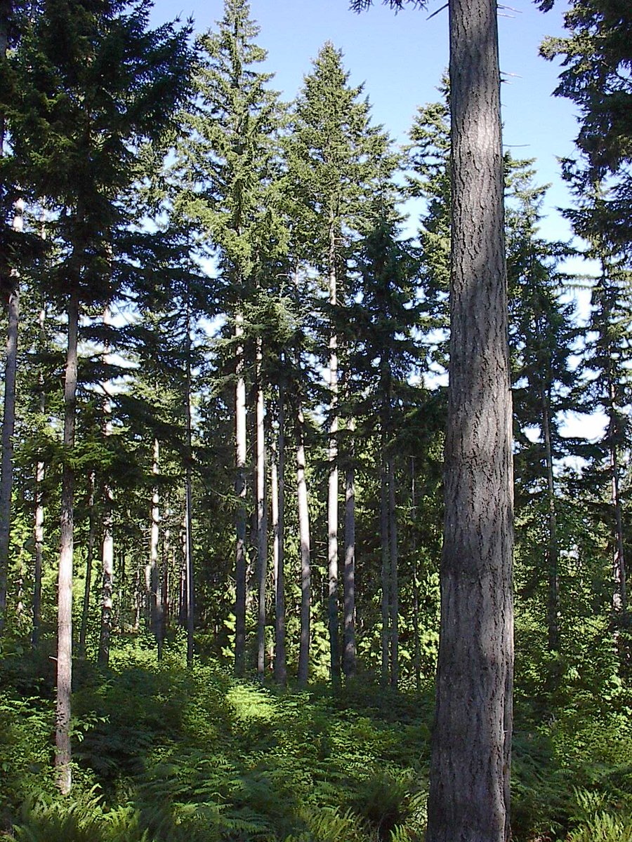
2/ We used #SPL and 269 field plots to generate an area-based operational #forestinventory over a 15000 ha study area of temperate mixedwood forest representing a complex assemblage of tree species, forest structures, and management histories. bit.ly/37GTeZG


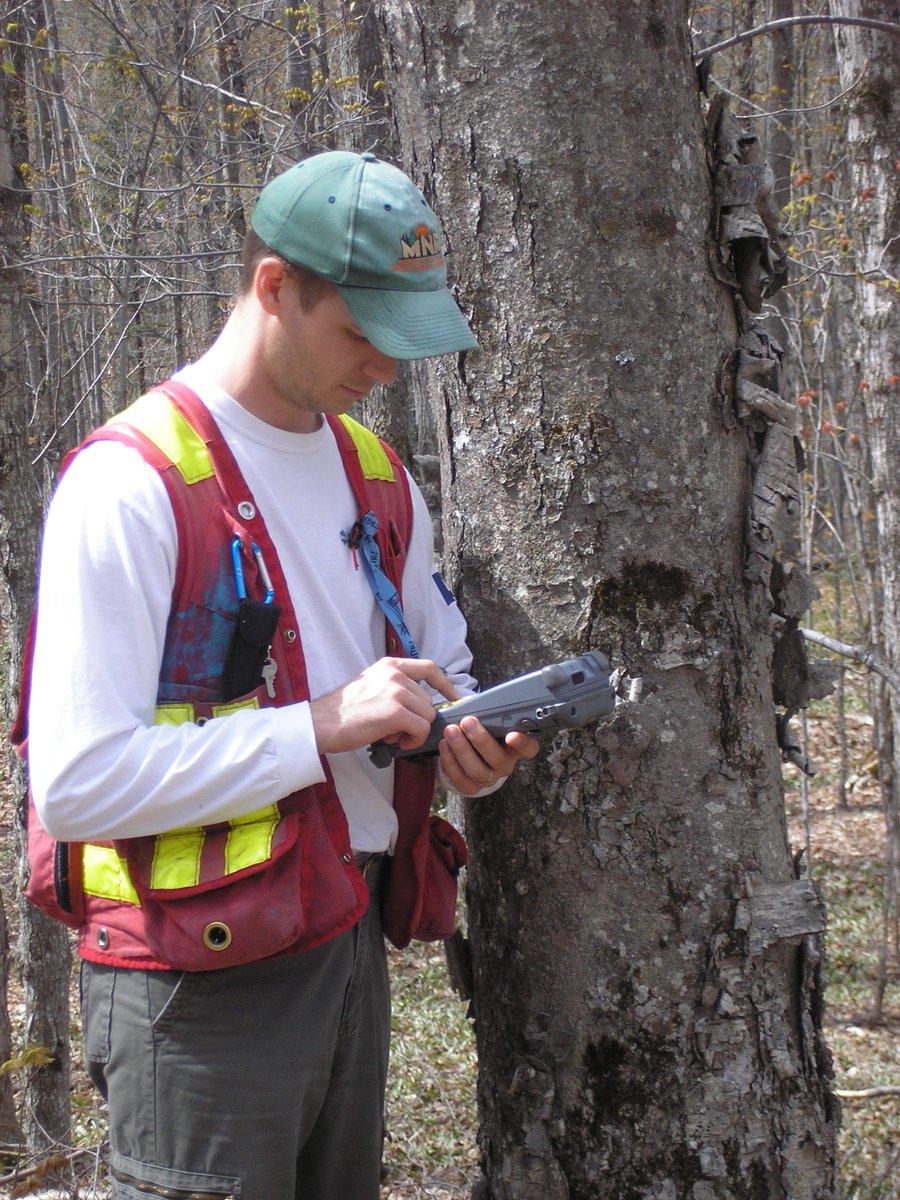
3/ We validated our #forestinventory estimates at the stand-level using independent field measured data. Why? Because the stand is the fundamental spatial unit for forest management and planning, and the unit at which decisions are made. #CFSEFI bit.ly/37GTeZG


4/ We predicted a suite of #forestinventory attributes and assessed model performance overall and by forest type. bit.ly/37GTeZG

5/ Accuracy and bias varied by forest type. Stand-level validation was important for assessing model performance in different stand conditions. Overall, plot-level results (OOB) overestimated model error and underestimated bias relative to the stand-level validation results.

6/ #Forestinventory attributes such as volume and basal area were most challenging in managed pine stands and red pine plantations, which have very different stand structures. bit.ly/37GTeZG

7/ Results were on par with area-based outcomes achieved using linear-mode #lidar in this same study area, as well as with results reported in other studies using SPL data (in boreal forests): bit.ly/3u0dhLE and bit.ly/2PyHpPy.


8/ For large FMAs, the ability to acquire #lidar data from a single instrument with a consistent specification can be critical for operational implementation. From a model performance perspective, SPL data provided accurate #forestinventory attribute estimates with minimal bias.

9/ Collaborators: Dr. Margaret Penner and Murray Woods. Partners: @CIF_IFC, @cwfc_ccfb & @PRF_CFS. Data provided by @ONresources. Funding provided by the Ontario Forestry Future's Trust.
#OpenAccess: bit.ly/37GTeZG
#OpenAccess: bit.ly/37GTeZG

10/ To learn more about our project "Exploring the innovation potential of single photon lidar for Ontario's eFRI" (including recorded webinar): bit.ly/32ReN72 and also bit.ly/3e134cE

11/ It is worth noting that although #SPL offers an advantage for #lidar data acquisition over large areas because of the high altitude used for acquisition (~3800 m agl and as documented bit.ly/3u0dhLE and bit.ly/2PyHpPy), low clouds/smoke can be problematic.
12/ Finally, to access the SPL and field plot data used in our research, as well as the predicted EFI attribute layers, visit the PRF remote sensing supersite [bit.ly/3vqaADD] and use search terms PRF and SPL. #PRFSS #CFSEFI
#OpenAccess: bit.ly/37GTeZG
#OpenAccess: bit.ly/37GTeZG

• • •
Missing some Tweet in this thread? You can try to
force a refresh