Both #Extrremeweather events caused by climate change, and 30+ years of failure to address known extreme damage to the biosphere caused by avoidable harms.
One nation responsible for the peril.
Another defenceless against it's catastrophic harms.
In one nation the harms will be felt mostly in travel delays.
In the other nation many will likely die, and 100s of thousands will have their lives scared and livelihoods threatened, and will likely be dependent on humanitarian aid for months if not years.
Hopefully Humanity can learn from this injustice. And do something about it at #COP27.
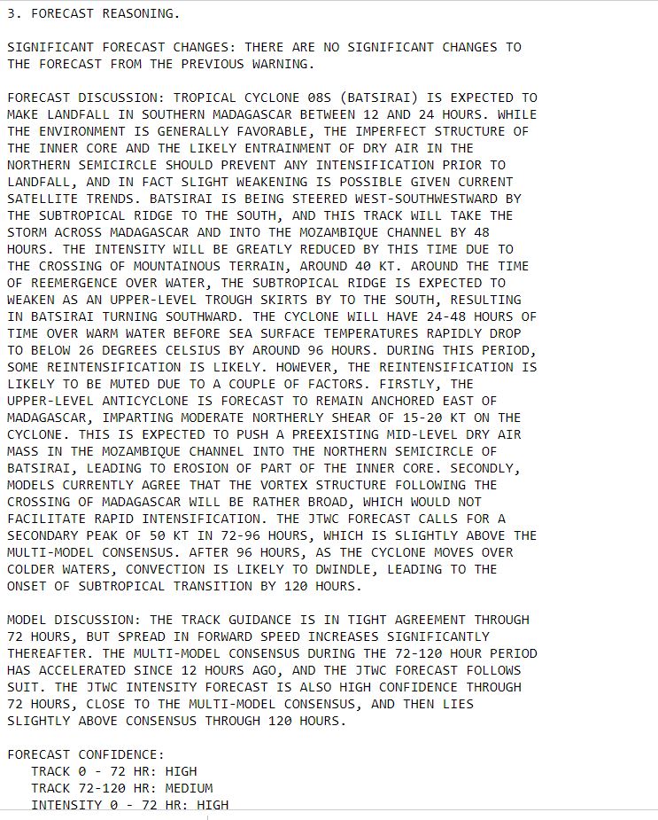
The center of Intense Cyclone Batsirai has nearly completed its crossing of Madagascar but the storm/wind field continues to impact the southern half of the island.
The most intense rainfall was concentrated near the Capital City Antisirabe, the 4th largest city moving slowly. Extreme flooding in this area appears likely. And there were two additional extreme rainfall events in the North and the West of the island, fueled by the storm.
We see in this image that the eye of the storm (with its most damaging winds) remained intact for several hours after landfall finally losing its structure in the early hours Sunday Morning.
The lightning display as seen in satellite imagery during this period is extraordinary.
If @AP@AFP@BBC and @Reuters choose to cover this latest, unsigned, media statement issued by @reda_getachew’s close partner in the TPLF information warfare operation addressed to the AU, it should be called what it is.
I.E. a statement issued by the rebel TPLF leadership.
The “Nutty Professor’s” statement (as he is colloquially known) is an expanded version of @reda_getachew’s recent tweets dressed up to look like it comes from an independent source.
This paragraph is particularly absurd. On June 28th the GoE announced a unilateral ceasefire. And on around 15 July the TPLF launched an offensive against Afar, just as they are doing again now.
The TPLF Leadership who are solely responsible for maintaining their attacks on Afar since mid December are enabled and empowered by the silence of UN Agencies @OCHA_Ethiopia@WHO and @WFP_Ethiopia on the truth about why aid is not getting to Tigray.
“The humanitarian crisis situation in Tigray is due to ongoing offensive military action against Afar civilians by TPLF forces which has been blocking the aid corridor since July 202.”
Simulations of the area of tropical moisture that brought torrential rains to the South Island now show a storm system moving south into the Tasman Sea resulting in intense rainfall across Northern NZ through Feb 12th.
Forecasts for this system's exact impact remain highly uncertain but four major global forecasting models are in agreement that some form of extreme weather for NZ will be result.
These are the latest ensemble tropical storm "spaghetti" track graphics for storms north of NZ.
The event is expected to begin within 24 hours these are four different models showing the intense area of atmospheric moisture moving over Northern NZ this morning (Sunday) NZT.
Cyclone Batsirai is weakening and accelerating on its final approach to Madagascar's East Coast. But while lower winds will be helpful - it's primary impact - widespread very heavy rain - is likely to be extreme.
The official forecast has not been updated, the eyewall landfall (diminished by the filling of the eye) is likely to take place a little later than forecast but wind and rain is already building over the island as is obvious in the satellite imagery.
As of 20 minutes ago the center of the cyclone had roughly 100kms to travel to the shoreline. It will a bring a significant tidal surge with it, especially on the southern side and likely cause significant coastal flooding over a large area of the coastline.
As a poster child for the impact of climate change on developing nations this cyclone, is a truly terrifying phenomena. In the next 24 hours it will make landfall at most likely Cat 4 or Cat 5 Hurricane Strength.
The animation above is live and covers the last three hours. This animation shows the last 24 hours.
Madagascar is an impoverished nation of nearly 30 million people the majority of whom live in the path of this Cyclone's wind and forecast extreme rain.
Whilst at Cat 4 strength a day ago what was already Intense Cyclone #Batsirai underwent a eyewall replacement and slowed down, it is now accelerating and strengthening.