This #ExtremeWeather thread on #Invest96s in the Indian Ocean is a weird one.

It began with apparent cancellation of the designation of two colliding tropical disturbances by the #JTWC (Joint Typhoon Warning Center) last night, followed by its re-designation this afternoon.
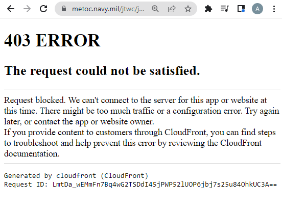
The re-designation wasn't by JTWC - which is having website outage issues - but rather by the RSMC, the local meteorological authorities in the Reunion & @meteofrance

"***************CORRECTIVE**************
RSMC / TROPICAL CYCLONE CENTER / LA REUNION"
If #Invest96s becomes a cyclone and intensifies, models indicate it will become the fourth cyclone to strike Madagascar in two months - possibly as the 2nd major cyclone.

It would follow #StormAna #Batsirai & #Dumako which made landfall in the north of Madagascar today.
This graphic shows the tracks of the two storms, Moderate Storm #Dumako on the left and #Invest96s on the left. Image

• • •

Missing some Tweet in this thread? You can try to force a refresh
 

Keep Current with Alastair Thompson

Alastair Thompson Profile picture

Stay in touch and get notified when new unrolls are available from this author!

Read all threads

This Thread may be Removed Anytime!

PDF

Twitter may remove this content at anytime! Save it as PDF for later use!

Try unrolling a thread yourself!

how to unroll video
  1. Follow @ThreadReaderApp to mention us!

  2. From a Twitter thread mention us with a keyword "unroll"
@threadreaderapp unroll

Practice here first or read more on our help page!

More from @althecat

Feb 16
Yesterday afternoon there was a Plenary session in the European Parliament on the eve of @AUEUSummit, scheduled for tomorrow and Friday. This tweet contains some edited highlights from High Representative @JosepBorrellF (who leads @eu_eeas).

But this misses a lot.

Thread....
The full video of Borrell's opening remarks is here >> multimedia.europarl.europa.eu/video/eu-afric…

11 minutes, in English. The remarks kick off a debate that included 42 speakers and concluded with some closing remarks from @JosepBorrellF.
The full video of the high representative's Plenary session begins at 15.13pm and can be watched here. The interventions of the 42 MEPs (Members of the European Parliament) from 15:22 are all short, limited to less than 2 minutes by procedure. multimedia.europarl.europa.eu/video/eu-afric… Image
Read 26 tweets
Feb 16
#ExtremeWeather Update Thread: Madagascar #Invest96S

The JTWC is now saying there is a "High" probability of #Invest96S will become a TC within the next 24 hours.

The JTWC @USNavy @USNRL website [Here: metoc.navy.mil/jtwc/jtwc.html] remains inaccessible. Image
@USNavy @USNRL While we do not have a JTWC track forecast yet, we do have a new forecast. the relevant part for #96s is in the 2nd image here and contains reasoning as to why:

"THE POTENTIAL FOR THE DEVELOPMENT OF A SIGNIFICANT TROPICAL CYCLONE WITHIN THE NEXT 24 HOURS IS UPGRADED TO HIGH." ImageImageImage
Here's a current 24h animation of the storm, at the end you see the center of circulation is fully exposed. The storm is moving fairly fast and is being blown westwards by winds which are creating a lot of shear - which prevents development.
Read 19 tweets
Feb 15
The current period of extended stormy weather in Europe isn't going away.
That's approximately a storm every 2 days coming in off the North Atlantic. And this is the problem, relentless atmospheric rivers from the tropics.
This will also cause stormy weather in the Middle East, especially towards the end of the month and it will be interesting to see what happens in the Sahara. Rainfall is rarely shown in forecasts to fall there... we shall see.
Read 7 tweets
Feb 15
#ExtremeWeather Update:

The JTWC @USNavy run portal for Global surveillance/tracking of dangerous cyclones - seems to be out of action, inaccessible via the web, again.

Just as a third tropical storm is making landfall on Madagascar in the space of a month. @USNRL @WMO
The Joint Typhoon Warning Center website is here >> metoc.navy.mil/jtwc/jtwc.html

It has been unreliable for several months normally it looks like the 2nd image here below (image src: cyclocane.com - which aggregates cylone/storm data)
Tropical Depression 96S (see previous tweet) is the storm that is currently forecast by most models to develop into a dangerous cyclone threatening Madagascar and possibly SE Africa.

The storm was removed from the watch list yesterday morning - then reinstated this afternoon.
Read 29 tweets
Feb 15
@VortixWx

Hi. Something seems to be up with the JTWC website and data feed. And without track data, it looks like the floaters are not actually floating on 96s and 97s. 93s appears to have been discontinued.
@VortixWx Not only is the JTWC website in accessible - and not just to me (I'm wondering if its a DDOS attack) but it now looks as if the automated data feeds may also be not working.
@VortixWx Hi @zoom_earth, I am trying to track down a possible data outages at JTWC. Previous thread tweet shows the site is not accessible (which is not unusual).

You have no track data for #Invest97s which appears to have developed quite a bit.
Read 4 tweets
Feb 14
Madagascar #ExtremeWeather Thread:

Yet another Indian Ocean Tropical Storm, #Dumako is forecast to make landfall in Madagascar in the next 24 hours.

And at around the same time models suggest a more dangerous Tropical Cyclone may form following closely behind.
#Dumako is a relatively minor storm and is forecast to weaken on its approach but as you can see here, simulations are pointing to a more dangerous storm following closely in Dumako's wake.

The new cyclone is modelled to form as #Invest93s & #Invest96s merge.
At this stage this formation event is just a possibility, but if it does take place landfall will follow fairly quickly afterwards, and at the moment its track over Madagascar looks very similar to that of #Batsirai which killed over 100 people and destroyed around 100,000 homes.
Read 12 tweets

Did Thread Reader help you today?

Support us! We are indie developers!


This site is made by just two indie developers on a laptop doing marketing, support and development! Read more about the story.

Become a Premium Member ($3/month or $30/year) and get exclusive features!

Become Premium

Don't want to be a Premium member but still want to support us?

Make a small donation by buying us coffee ($5) or help with server cost ($10)

Donate via Paypal

Or Donate anonymously using crypto!

Ethereum

0xfe58350B80634f60Fa6Dc149a72b4DFbc17D341E copy

Bitcoin

3ATGMxNzCUFzxpMCHL5sWSt4DVtS8UqXpi copy

Thank you for your support!

:(