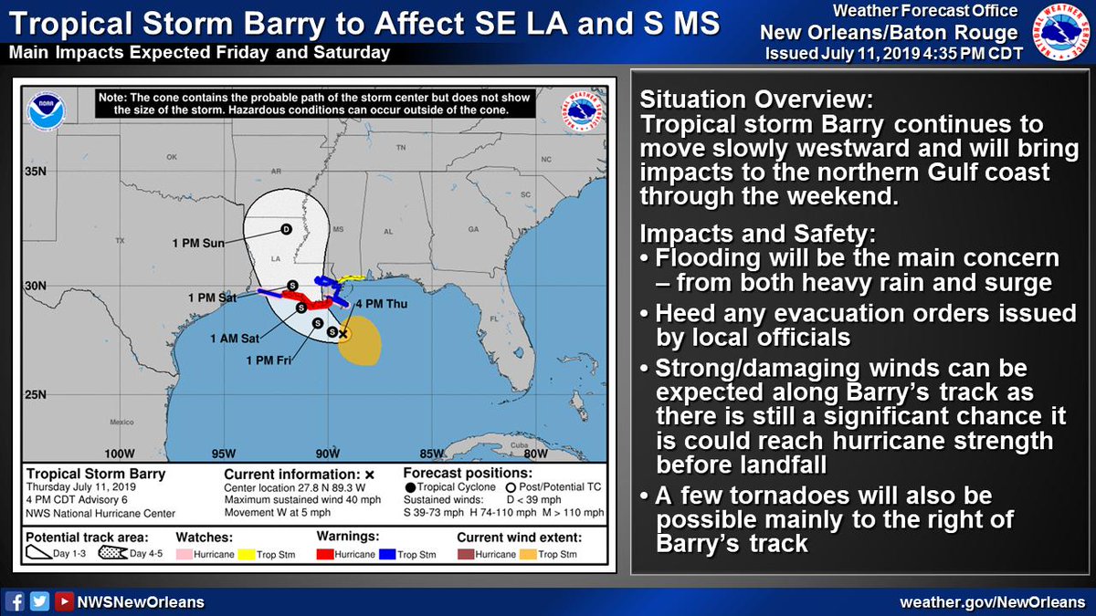
Here is the 4AM update on Hurricane #Delta along with a thread on the latest local hazards expected from Hurricane #Delta.
Delta will bring potential for:
🌊Life-threatening storm surge flooding
🌬️Damaging winds
⛈️Heavy rain and flash flooding
#lawx #mswx
(1/5)
Delta will bring potential for:
🌊Life-threatening storm surge flooding
🌬️Damaging winds
⛈️Heavy rain and flash flooding
#lawx #mswx
(1/5)

Locally, the strongest winds from #Delta are expected across areas nearest the Atchafalaya River.
Strong winds could result in:
🔌Power outages
🌳Minor to moderate damage to trees/power lines
🏠Damage to a few structures from falling branches/trees
#lawx #mswx
(2/5)
Strong winds could result in:
🔌Power outages
🌳Minor to moderate damage to trees/power lines
🏠Damage to a few structures from falling branches/trees
#lawx #mswx
(2/5)

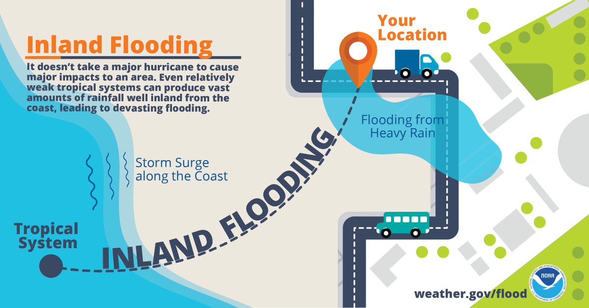
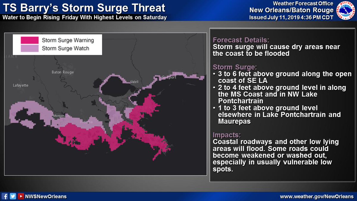
Life-threatening storm surge from #Delta will be possible across coastal areas of SE LA and MS.
Low lying roads could become flooded and some areas could become cut off in the most vulnerable areas.
If an evacuation order is issued by local officials, leave!
#lawx #mswx
(3/5)
Low lying roads could become flooded and some areas could become cut off in the most vulnerable areas.
If an evacuation order is issued by local officials, leave!
#lawx #mswx
(3/5)

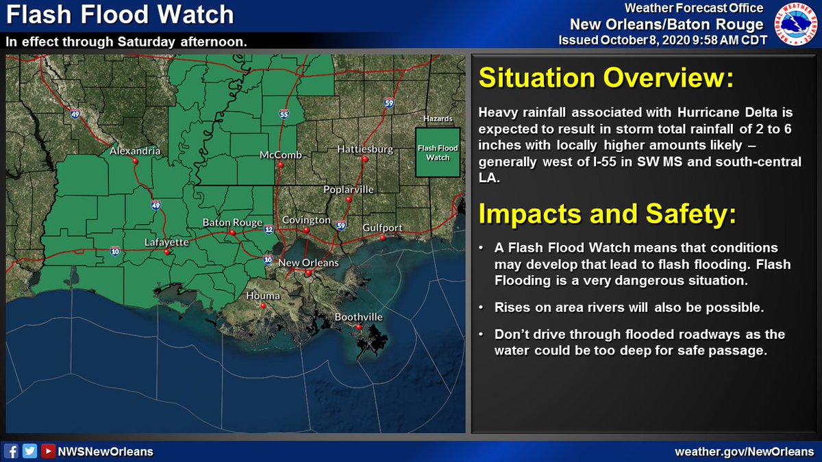
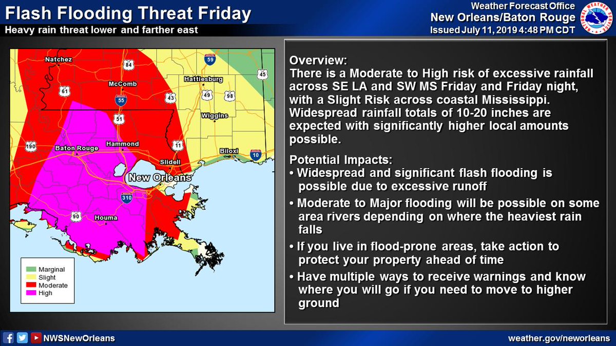
Heavy rainfall could lead to flash flooding depending on where any of #Delta's bands set up across the area.
Generally, the heaviest rain is expected west of I-55.
#lawx #mswx
(4/5)
Generally, the heaviest rain is expected west of I-55.
#lawx #mswx
(4/5)

In summary, #Delta could bring significant impacts in the way of potentially damaging winds, storm surge flooding and heavy rainfall.
Greatest impacts expected Friday into Friday night, so be sure all of your preparations are complete by Friday morning.
#lawx #mswx
(5/5)
Greatest impacts expected Friday into Friday night, so be sure all of your preparations are complete by Friday morning.
#lawx #mswx
(5/5)

• • •
Missing some Tweet in this thread? You can try to
force a refresh


