
THREAD. The fun of landscape history is that, quite often, it’s little, insignificant details in plain sight that reveal past now-lost landscapes. They turn a country walk into a detective story - like this amble in Comberton, Cambs., reconstructing its vanished village green. 

2. All that’s left today is this small grassy area and duck pond at the centre of the village - jam-packed with signals to its communal function: village sign, gritting box, benches, litter bin, & a bus stop just out of shot on the L. The 19thC OS map shows even more of them ...

3. The duck pond is the rounded feature 117 just NW of the crossroads near the bottom of the map. Communal facilities in 1880 included a smithy, a malting for brewing beer, & the Red Lion (all plot 119); & a school & schoolteacher’s house across the road, as well as a maze ...

4. The maze has long been tarmac’d over (🧐).. the only extant (& poor) photo of it (comberton.org/wp-content/upl…) suggests it was a labyrinth cut into the turf, like the surviving ones at Hilton, Hunts. (photo davidpotter2012.files.wordpress.com/2013/11/sg1s94…) & Saffron Walden. I digress #blush


5. At any rate, there are lots of community facilities by the pond. But the 19thC malting, pub & smithy, & school & schoolhouse, each on enclosed plots are intriguing. So is the street sign: the ‘end’ of Green End usually signifies more than just a pond. Let’s follow the clues..

6. The far side of the green/pond is bounded by a 19thC wall, the E boundary of plot 118 on the OS. Its alignment is continued by the back boundary of the brewing/pub complex (plot 119). Let’s walk up Green End to look at the far end of that alignment, where it meets plot 121.


7. Here are the malting with its distinctive roof, smithy & pub. The smithy is now a garage & has taken over the malting; the pub has closed. The smithy/marking range is built of clay lump - large rectangular blocks of clay mixed with straw etc. & drilled into bricks.

8. The technique is distinctively early 19thC onwards in Cambs. & very different from the cob houses found elsewhere. It’s a material used by the poorer sort & I’ll tell you more about it another day. Anyhow I love these clay buildings. Here’s an excellent introduction for now.

9. Well, we’ve walked up to the other end of the back boundary to plot 119 and look! There’s a break in the walling at exactly that point. Brick running further back; & breeze blocks towards the road - they replaced the original clay lump wall that gradually fell down 😥


10. Could this mark an earlier edge to the green? Enclosure was in 1839 so it seems the malting etc were built on the enclosed verge of the green. I’ve marked the alignment here. Let’s see whether there’s any further evidence.

11. Next stop is at the gates of plot 121. Look carefully and you can see a ridge, an earlier edge to the green, running from the gravel towards the L of the picture. And that’s not all ..


12. Here we are at the N boundary of plot 121 - on the map it makes a change in alignment where a 19thC yellow brick wall meets an earlier, 17thC red brick wall running out from the house. After this it becomes more difficult as there’s been modern building across the line but ..


13. .. the frontage of the 3 early 18thC cottages (now 1 house, I think) in plot 123 also follows the alignment (listing british-history.ac.uk/rchme/cambs/vo…).


14. As a general rule, most pre-enclosure houses fronted directly onto the street. They didn’t have front gardens. So one can trace the street line from the buildings. (gamlingayphotos.co.uk/church-street-…). The eagle-eyed among you will have spotted ...

15. ... that the frontage of the 17thC house behind the 19thC yellow-brick boundary wall that we started with wasn’t on our alignment; & the clay lump wall ended at a 19thC wall; & neither did the frontage of the early 18thC house in plot 121 lie on the alignment. So...


16. .. so the alignment we’re reconstructing wasn’t that of the first encroachment on the green - there were earlier ones. We’ve got about as far as we can along the W side. Can we reconstruct the rest of the green? Yes, we can - & quite quickly, in just 3 steps.
17. The next important clue is this house, jettied along its length on the side facing away from the road and set well back from it. It was originally unseated, built without a hearth or chimney, & that - plus the jettying along the long side - suggests it may have been a late ..


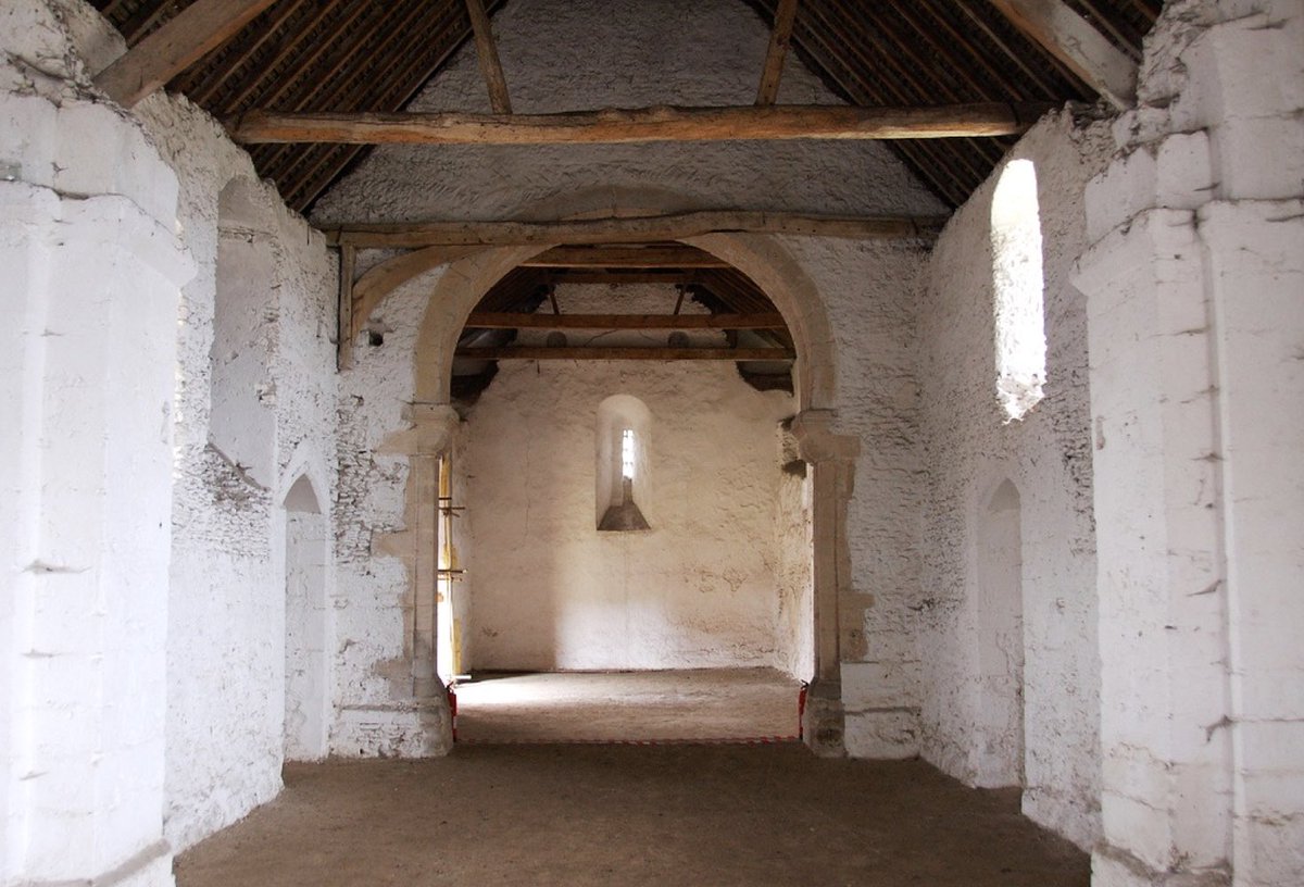
18. .. medieval guildhall, like this much grander one in Whittlesford. These were not craft guilds, but community organisations to support the poor. Our one in Comberton lies in well away from any path - feasibly in the middle of a large open space. (british-history.ac.uk/rchme/cambs/vo…)

19. And it’s back boundary is an alignment to runs continuously all the way back into the village. What does that boundary look like on the ground? Well, ..

20. .. it’s a really substantial ditch carrying a small stream. And that’s typical of many greens: that their boundaries were ditched. (That there isn’t a ditch on the W side may be another indication that we weren’t finding the original edge to the green.)


21. Turn around with your back to the ditch and look! The low ridges formed by #medieval ploughing. The E side of the green abutted onto the great open fields of the village. Perhaps the ditch was *that* big to prevent stock from straying from the green into the crops.

22. That ditch continues on a much smaller scale down Hines Lane as it leads back into the village. It’s disappeared by the end of the lane & instead a high-ish bank shows how the edge of the green has been built up over long time by hedging and the passage of feet.


23. Round the corner & we’re back at the duck pond. Small accessible signs, together telling a story, in a game everyone can play. It’s why I get such a thrill from landscape history - what can beat being being out of doors on a micro-exploration? END


This terrific lidar image from @thebelliw shows the medieval plough ridges around the village
https://twitter.com/thebellow/status/1333811489556324353
• • •
Missing some Tweet in this thread? You can try to
force a refresh


