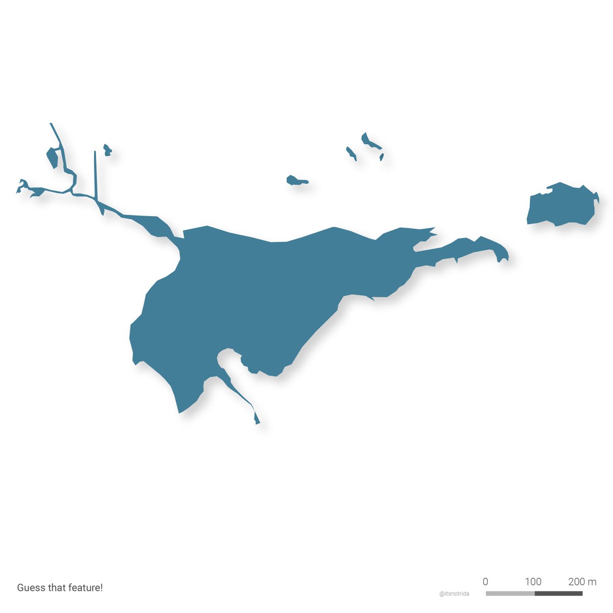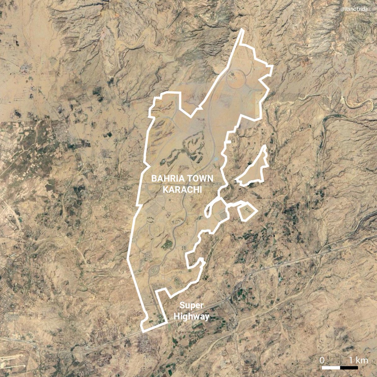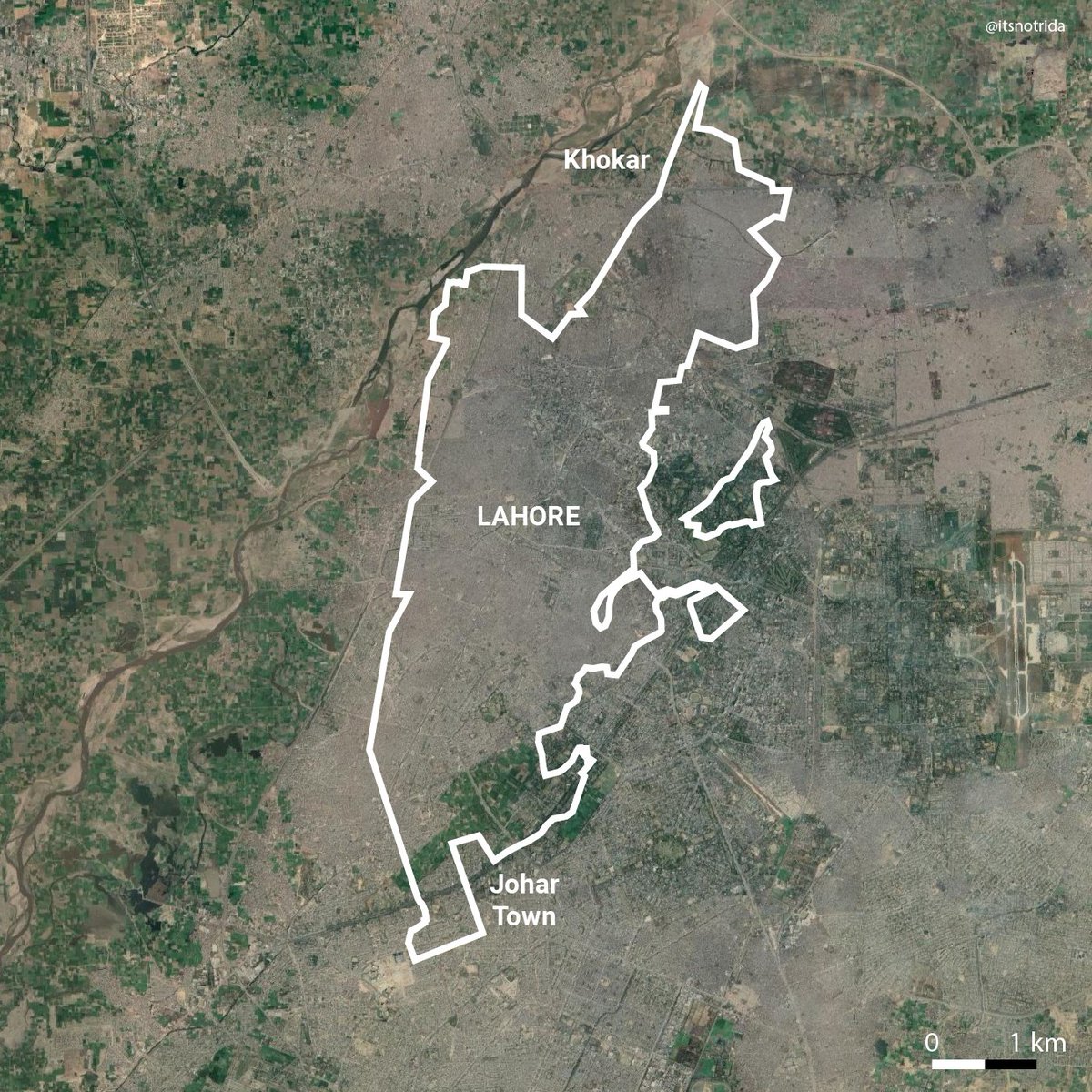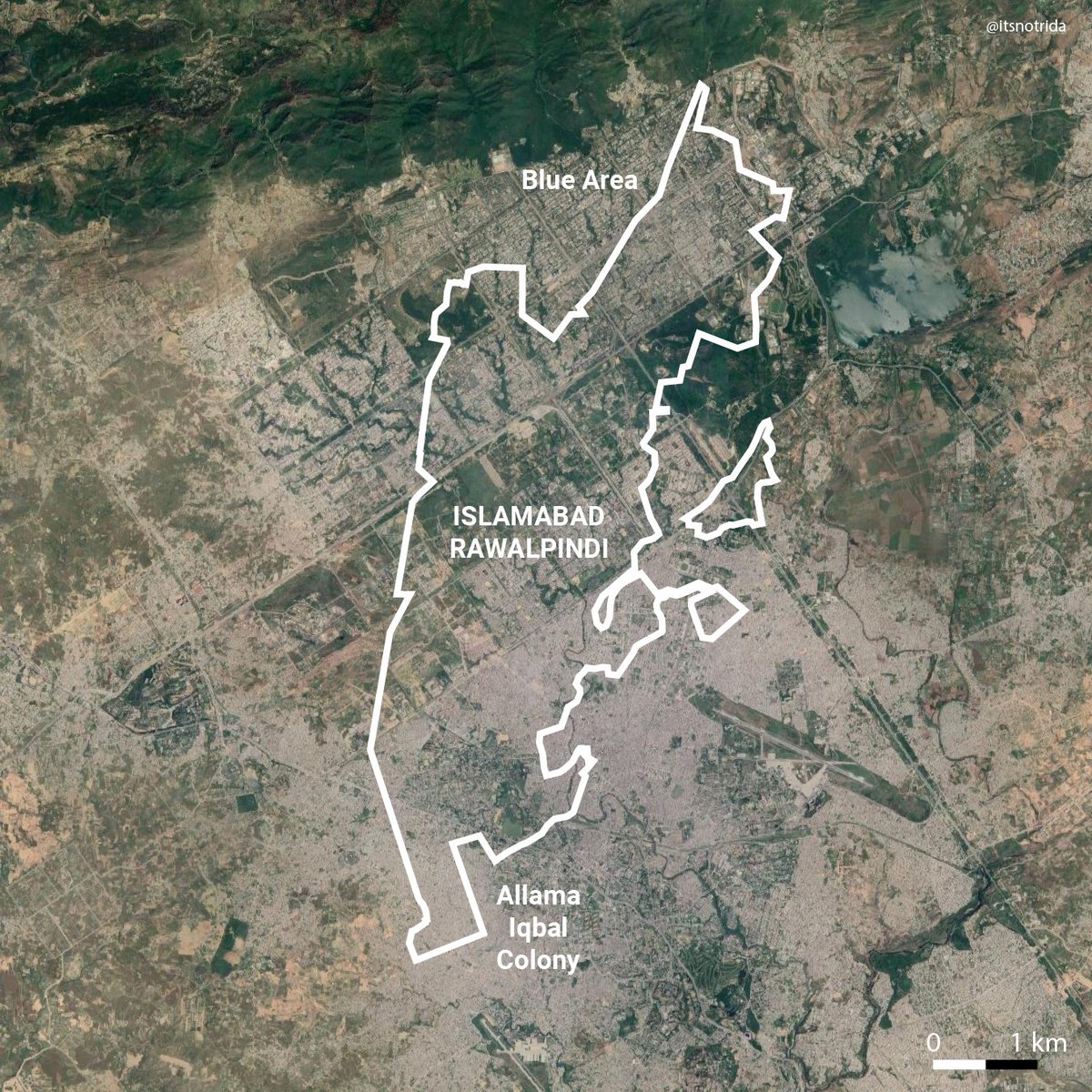
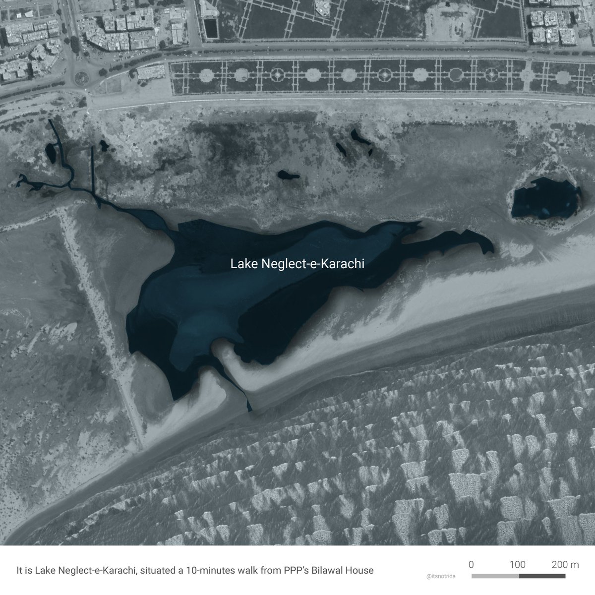
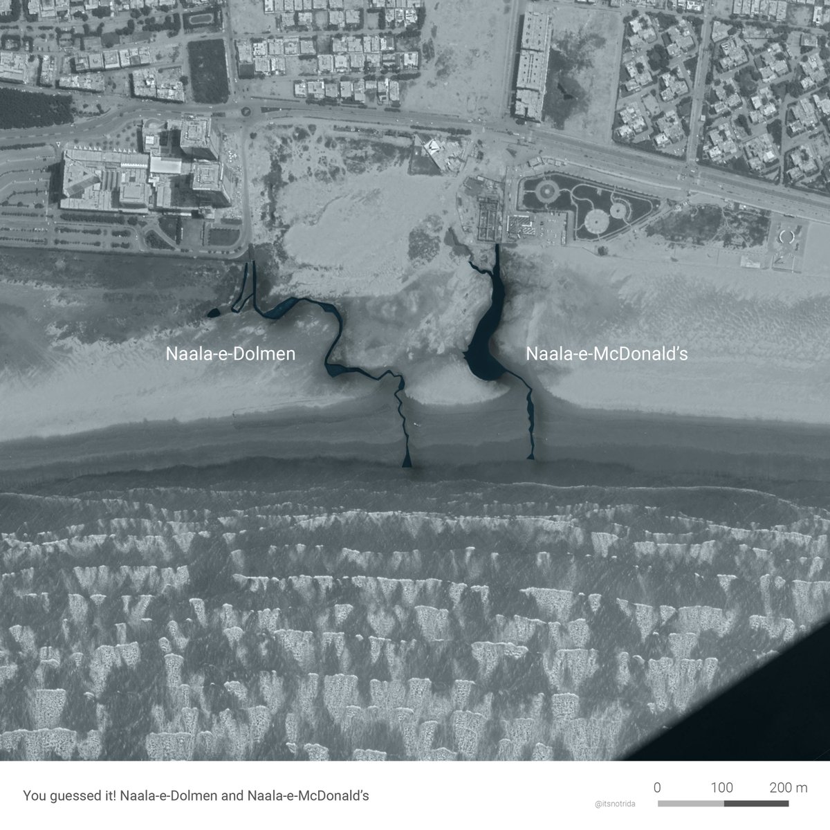
It is Lake Neglect-e-Karachi, an unapologetic sewage outfall on the city's most accessible public beach- "ghareebon ka sahil"- situated a short 10-minutes walk from Bilawal House. A casual fact.
Don't go here to access nature at the sea, it is hazardous.
2/9
Don't go here to access nature at the sea, it is hazardous.
2/9
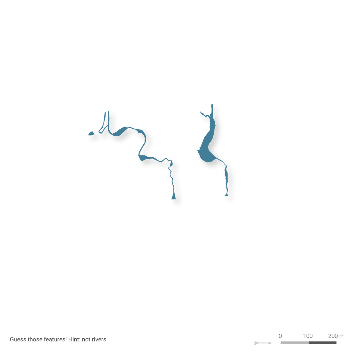
More outfalls! The microcosm of the city: dhara dar development without provision of adequate infrastructure.
Don't go here to access nature at the sea, it is hazardous. Or east because there are more of these.
4/9
Don't go here to access nature at the sea, it is hazardous. Or east because there are more of these.
4/9
This report on sewage hazards is from three and a quarter years ago (2017):
samaa.tv/news/2017/09/m…
samaa.tv/news/2017/09/m…
And this one from four months ago (October 2020)- nothing changed, elected officials still blissfully 'unaware'
tribune.com.pk/story/2267276/…
tribune.com.pk/story/2267276/…
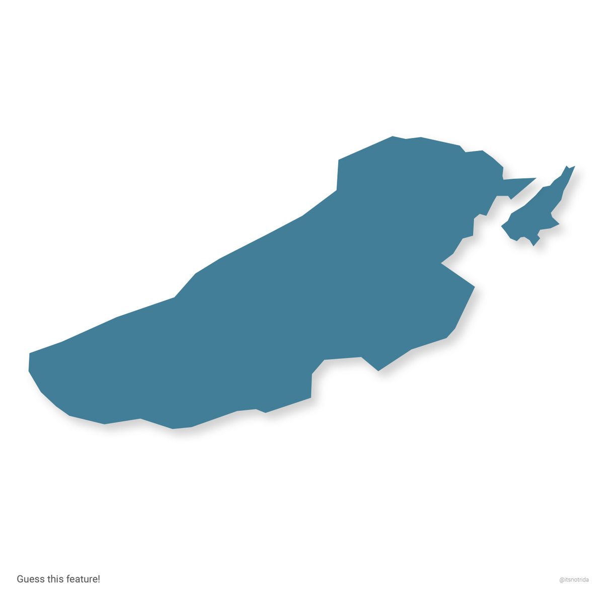
SURPRISE! AN ACTUAL LAKE.
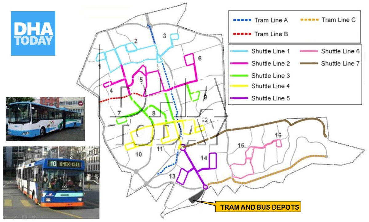
.............now Naya Nazimabad.
Can't go here to access nature in the urban core because it does not exist anymore.
8/9
.............now Naya Nazimabad.
Can't go here to access nature in the urban core because it does not exist anymore.
8/9
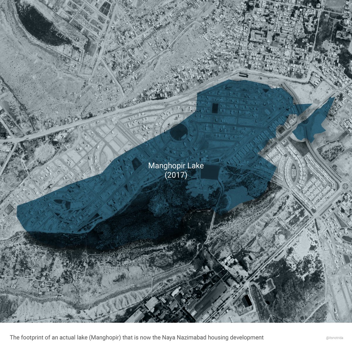
Karachi's tragedy: water at its doorstep yet people craving free-of-cost and safe, nature-based recreation. One can pretend that smog from new expressways is ocean mist.
// derived from my research on accessibility at the urban seafront, 'Guess that Pokemon', and contempt (:
// derived from my research on accessibility at the urban seafront, 'Guess that Pokemon', and contempt (:
@threadreaderapp unroll
• • •
Missing some Tweet in this thread? You can try to
force a refresh
