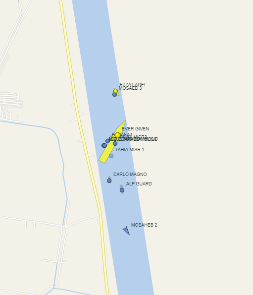
Red Sea could be interesting.
I've been looking at this report with @GlobalDryad for a few hours. Whilst it still remains unconfirmed, she was captured this morning at 0503UTC at 15.87864° N, 41.13219° E on satellite imagery.
https://twitter.com/GlobalDryad/status/1379456371121328135
@GlobalDryad One day of imagery isn't enough unless an official statement comes out regards to this, there are a couple of comments regards to an incident on Social Media as well. Again, it remains unconfirmed.
All we can do is sit and wait for imagery and/or wait for a statement from Iran, unconfirmed until proven otherwise.
Old images of the Saviz have begun circulating social media claiming to be from today and showing “evidence” of an “attack”. Anything new, I’ll share
Here’s what we know. Approx ~0145UTC the Saviz Vessel popped back onto AIS via @MarineTraffic, at 0503UTC @planetlabs caught her on plantscope imagery and then at 0644UTC she dropped off AIS again.
• • •
Missing some Tweet in this thread? You can try to
force a refresh