#KiwiDeluge Phase 2 begins.
#ExtremeWeather update thread
Cyclone 92p has now formed north east of New Caledonia and here you can see in the satellite imagery how an atmospheric river generated from its outflows is strengthening and heading towards NZ's West Coast.
#ExtremeWeather update thread
Cyclone 92p has now formed north east of New Caledonia and here you can see in the satellite imagery how an atmospheric river generated from its outflows is strengthening and heading towards NZ's West Coast.
Whilst the formation of a Cyclone in this position has been predicted in the models for a long time, its formation is uncertain until it happens, and a critical point in the unfolding story of this #KiwiDeluge.
In this animation you can see the circulation form and its size.
In this animation you can see the circulation form and its size.
Towards the end of the animation you can also see that it has started to move south eastwards, also as predicted.
This animation shows the broader picture across the tropics, an area on the RHT here (roughly over Tonga) is also playing an important role in this.
This animation shows the broader picture across the tropics, an area on the RHT here (roughly over Tonga) is also playing an important role in this.
This Water Vapour Transport animation from @weathermodels_ shows the next three days and you can see how the second low over Tonga is helping to consolidate the atmospheric moisture generated in the area into a single large stream.
^^ That was a partial plot to make it easier to follow here is the MLSP (isobars) animation from the latest GFS3 model this evening, you can see how the low over Tonga is effectively dragged into the cyclone which moves south and weakens rapidly over the Tasman Sea.
The PWAT (atmospheric water - which is a correlate for engergy) forecast is IMO the most helpful to understand at a glance what is going on. Cyclone #Dovi (not yet officially named) is a cyclone embedded in a massive area of moisture. It is not normal, discrete, cyclone.
Unfortunately for meteorologists - and us their customers, the complexity of having a cyclone embedded in the middle of large area of convective storms means that this event will be very hard to forecast.
These are the latest GEFS (US) and EPS (Euro) ensemble "Spaghetti" forecasts for #Invest92P/#Dovi.
Compared to earlier simulation runs these ones show this storm at greater intensity, especially over the next few days. The two models do however seem to be in broad agreement.

Compared to earlier simulation runs these ones show this storm at greater intensity, especially over the next few days. The two models do however seem to be in broad agreement.


And the new consensus is that the storm will move slower than previously expected and be stronger. The end of this latest #ExtremeWeather event is now predicted to be around Feb 15th rather than Feb 12th.
The next big reveal will be the assessment by the US Navy's JTWC Joint Typhoon Warning Center metoc.navy.mil/jtwc/jtwc.html
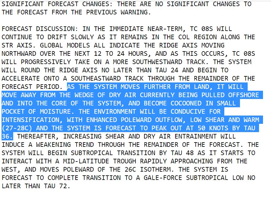
So far they have only issued a statement saying that Cyclone Genesis has occurred with no track or intensity guidance.
So far they have only issued a statement saying that Cyclone Genesis has occurred with no track or intensity guidance.

The JTWC hasn't declared this to be a cyclone yet, just that they consider it's formation possible. But from the satellite presentation I think a cyclone has formed. This warning says they will update their view on this before 3pm NZT today. 

Due to the unpredictability of the path and intensity of cyclones beyond three days its impossible to know what the rain and wind impact of this tropical storm will be over the coming week. But these four latest 180 hour rainfall maps are fairly consistent. 


And it is clear that NZ faces a major threat from this #ExtremeWeather event.
/ENDS
@Threadreaderapp unroll
/ENDS
@Threadreaderapp unroll
• • •
Missing some Tweet in this thread? You can try to
force a refresh


