#ExtremeWeather #Warning #SouthEastAfrica
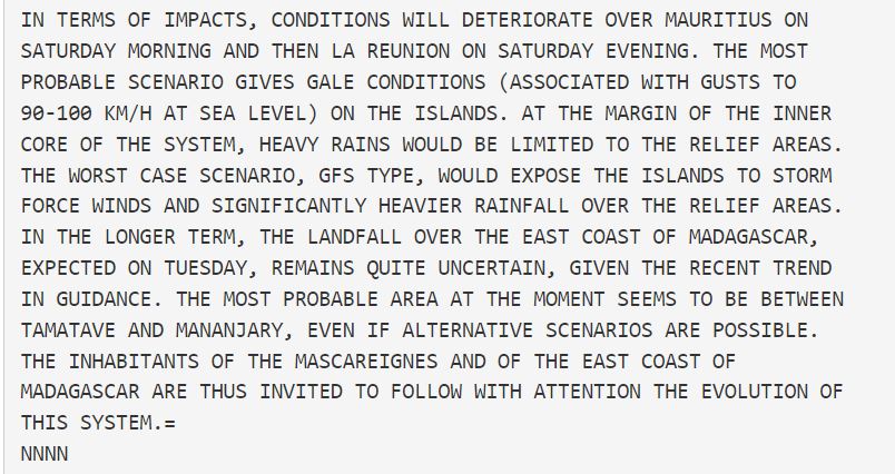
With formation of Tropical Storm #Emnati overnight and a high confidence forecast for the next five days. We need to also pay attention to potential impacts in Southern Africa, especially in the East.
Latest GFS 10 day rain sim below.
With formation of Tropical Storm #Emnati overnight and a high confidence forecast for the next five days. We need to also pay attention to potential impacts in Southern Africa, especially in the East.
Latest GFS 10 day rain sim below.
https://twitter.com/althecat/status/1494283325980262405
While Tropical Storm #Dumako has lost its JTWC designation the threat it poses to Mozambique is not over - we just won't have the same level of data to watch it as it crosses the Mozambique Channel.
The current spaghetti analysis from ECMWF suggests it won't strengthen.
The current spaghetti analysis from ECMWF suggests it won't strengthen.

However in the rainfall forecast we can see that heavy rain is forecast for Southern Mozambique and across the the continent over the next 10 days. This animation is from earlier today before #Dumako was taken off the monitoring list.
Fortunately we have satellite imagery which shows what has happened since.
Zooming in we can see what Disturbance #Dumako is now up to. It appears to still be rotating - moving south fairly slowly and is producing convection.
#StormAna lingered over the Mozambique Channel and strengthened before moving inland. So possibly worth keeping an eye on.
#StormAna lingered over the Mozambique Channel and strengthened before moving inland. So possibly worth keeping an eye on.
From the ECMWC Spaghetti chart we can see what it was expected to do - and disturbance #Dumako doesn't seem to be doing that. 

We can also look at what the latest models think is going to happen. The path of #Emnati is very similar to that of #Batsirai was at this stage in its development. It's track later moved to take it due south following landfall.
And we can also look at the PWAT (Precipitable Water /Energy) forecasts which I find helpful when it comes to answering the question "Why" in relation to these #extremeweather rain phenomena.
The answer is that center of the South Indian Ocean is awash with moisture. The south Atlantic is also a cauldron of aerial moisture exchange between the Amazon and the West African Monsoons.
This year though the South Indian Ocean has been far and away the most busy. The long range PWAT forecasts have looked like this pretty much continuously since early January.
In the Northern Hemisphere summer a similar situation arose in the West Pacific with #INFA.
In the Northern Hemisphere summer a similar situation arose in the West Pacific with #INFA.
For further inquiry into #OurChangingClimate and #ExtremeWeather you can look at the West Pacific events last year in a series threads which you will find here >> twitter.com/search?q=%40al…
The Pacific is a bigger Ocean and that situation was substantially worse and its impact on China was devastating.
https://twitter.com/althecat/status/1419733643510099975?s=20&t=YWxyWwcQbfPrGWgVZow9pg
• • •
Missing some Tweet in this thread? You can try to
force a refresh


