
ClimaData® Certified Broadcast and Consulting Meteorologist (CCM) | Hurricane Specialist @nbc6 & @sin24horas | BSc & Trustee @Cornell | MSc @JohnsHopkins
 Episodios de lluvia siguen llegando al teritorio nacional como se aprecia en los radares habilidatos por @IDAC_RD. Estoy en espera del informe de acumulados de ayer que genera @INDOMET_RDO para ir sumando. Porque como dije anoche en @SIN24Horas, esto será un maratón de días 🌧️ 2/
 Por las razones delineadas ayer, este #PTC7 debe convertirse en tormenta mucho antes de lo que lo logró Fred. El CNH está siendo sumamente conservador en proyectar una tormentita de 45 a 50 mph para PR/RD, pero les recuerdo que intensidad es lo que somos peores proyectando.
  Existe aire sahariano seco al norte de 95L pero los modelos muestran que el núcleo de aire húmedo debe permanecer más intacto que el de pre-Fred.


 The intensity forecast from NHC has remained unchanged over the last several advisories. It is more aggressive than the model forecasts, which, eyeballing it, average to a ~50 MPH max wind storm. However, given the track adjustment, chances for storm-force winds increased.
 This new vortex location, no less than 70 miles south of where the National Hurricane Center (NHC) had estimated it was located, puts the Leeward Islands, Virgin Islands, Puerto Rico and the Dominican Republic in play.
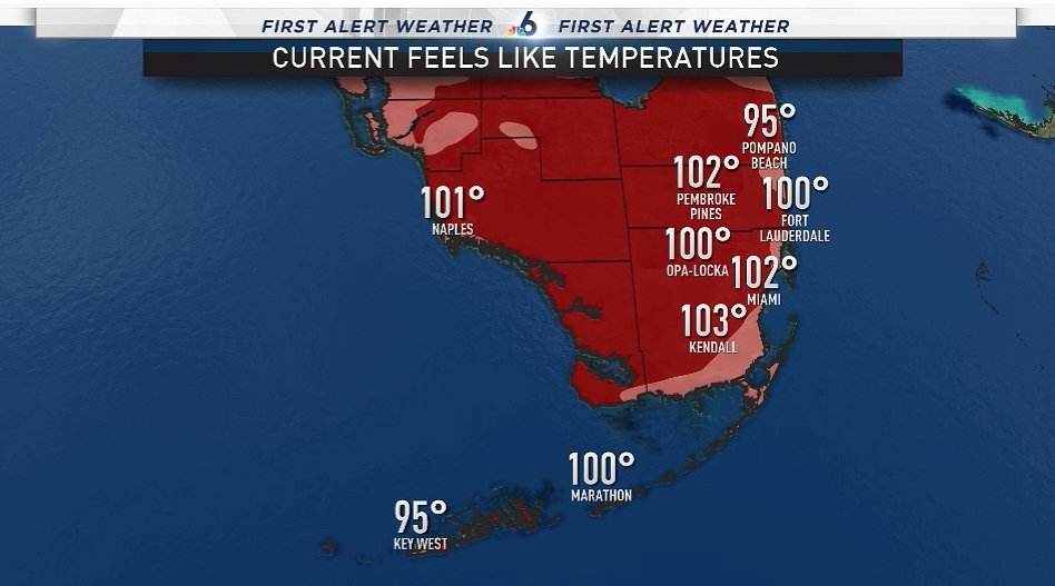 90°+ days in 2020 up to this date = new record of 8 (previously 6)
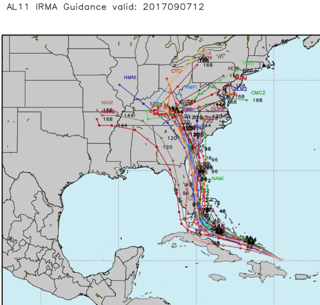
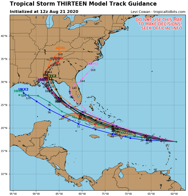
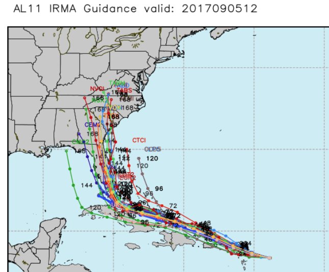 While one or two models have a lower #FLKeys to Florida’s west coast track, there is remarkable agreement from all others that... (1/n)