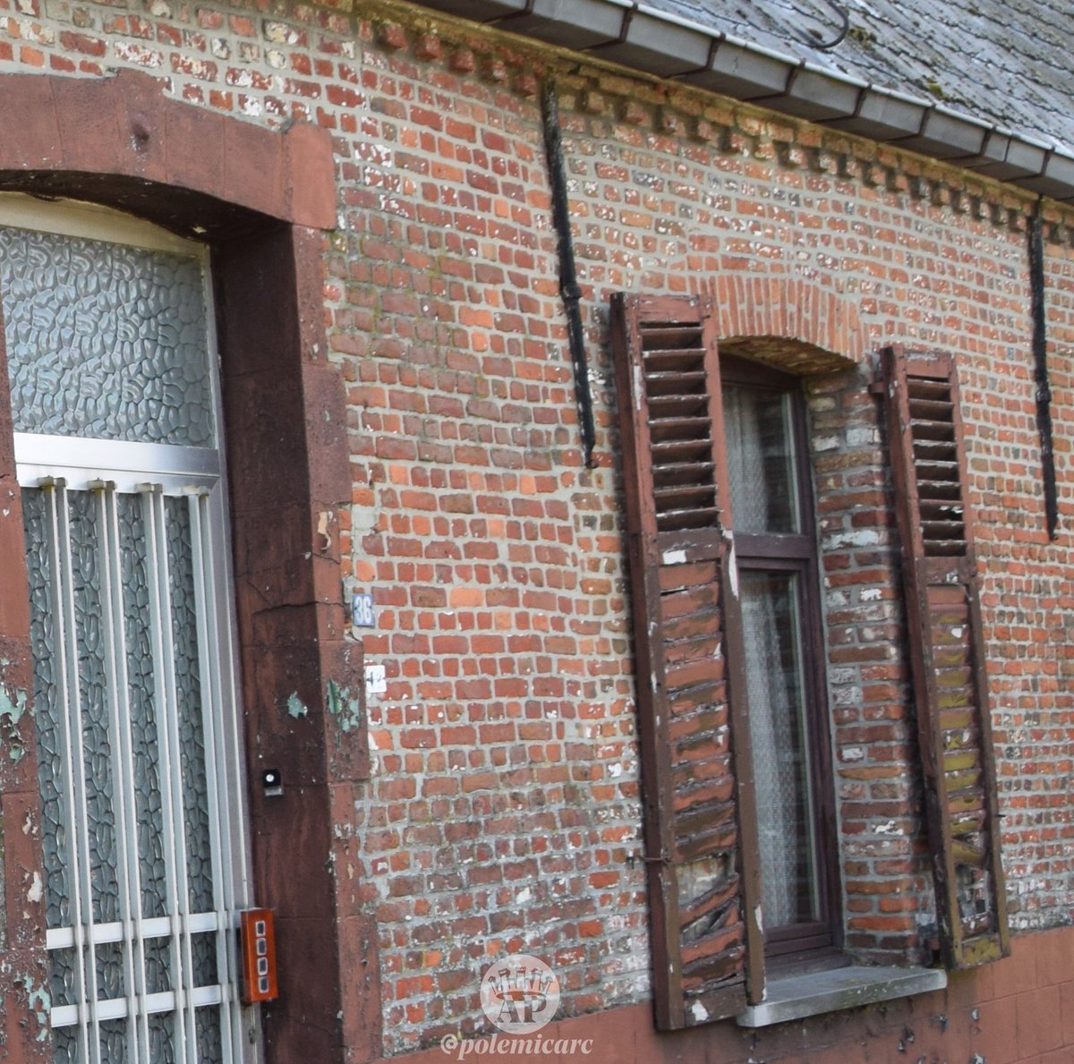
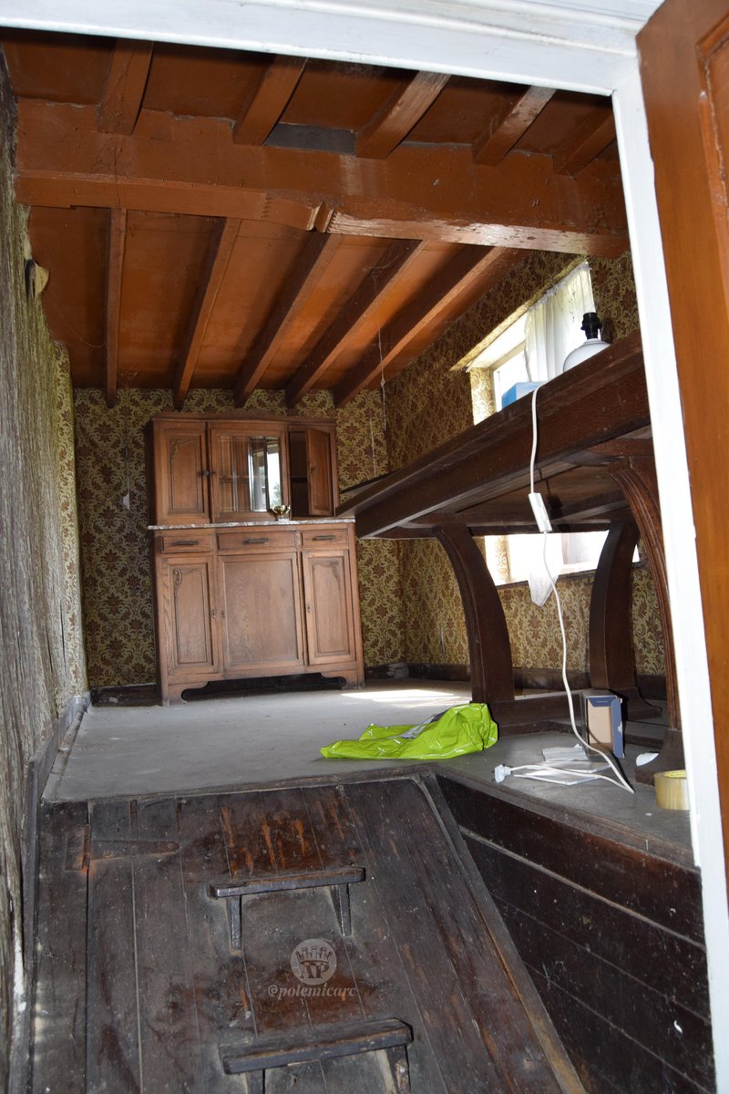
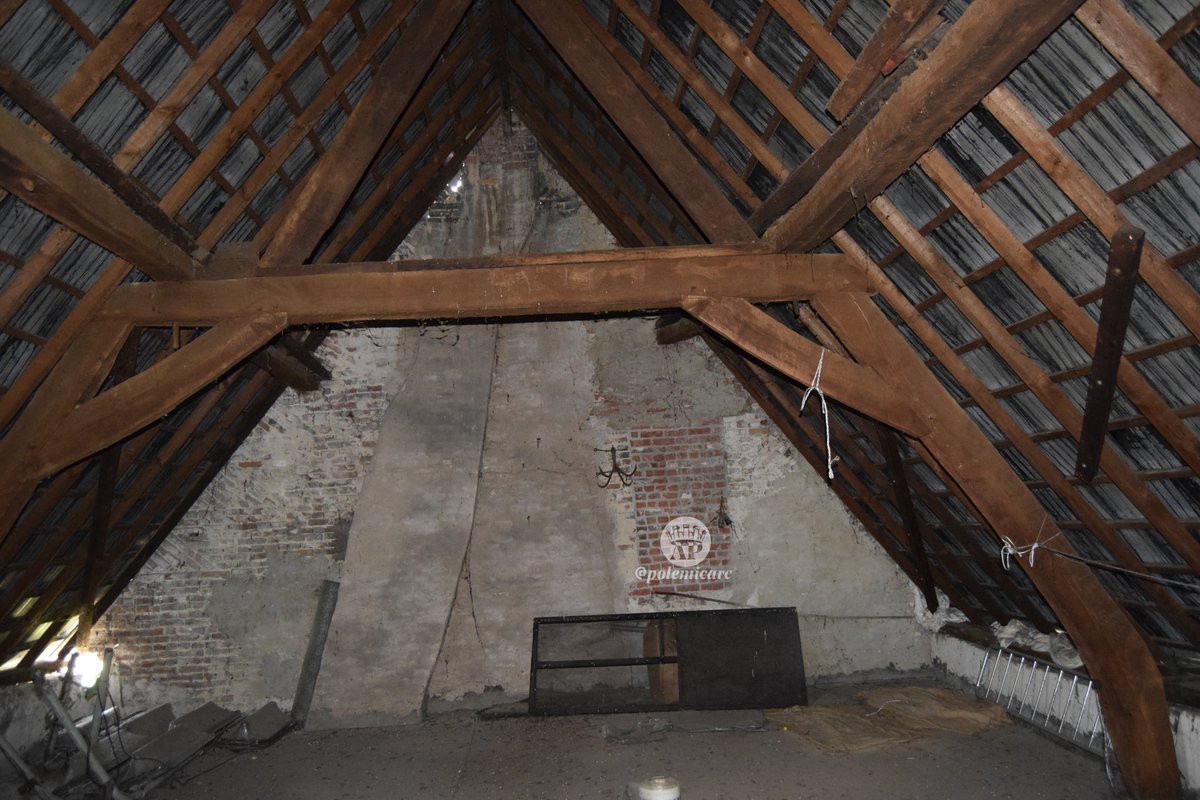
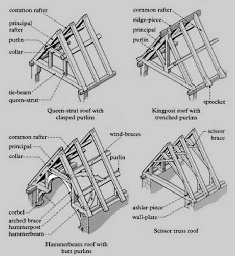
The last sub-thread of this 4th roll is about the destruction of the site of Babisqa.
#ancient #Syria #ruins
#ancient #Syria #ruins

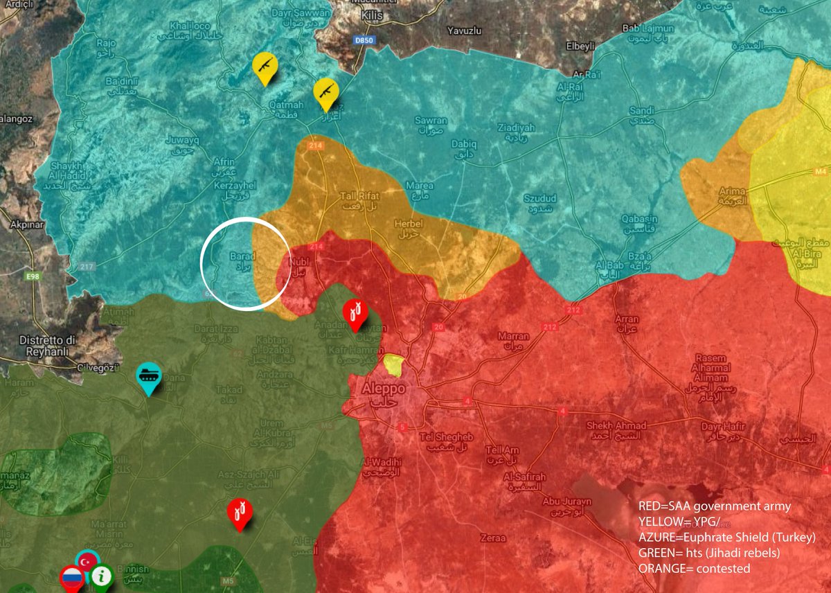
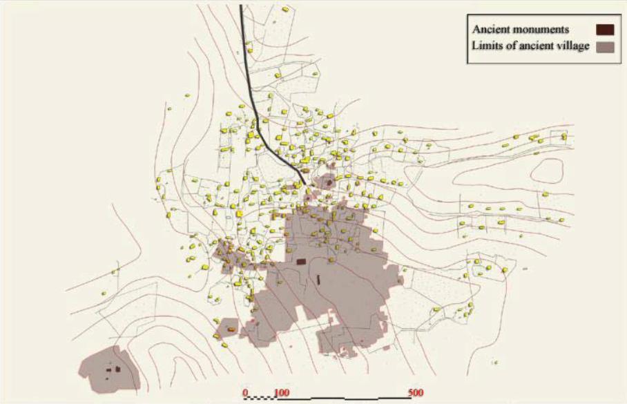
The expedition of Butler, in the early XX C., mapped the settlement of Babisqa, located near #Aleppo, and N of Mout #Barisha. The archaeological settlement, dated from the II C. B.C. is very close to the Turkish border.
tinyurl.com/y4kqpvno

tinyurl.com/y4kqpvno
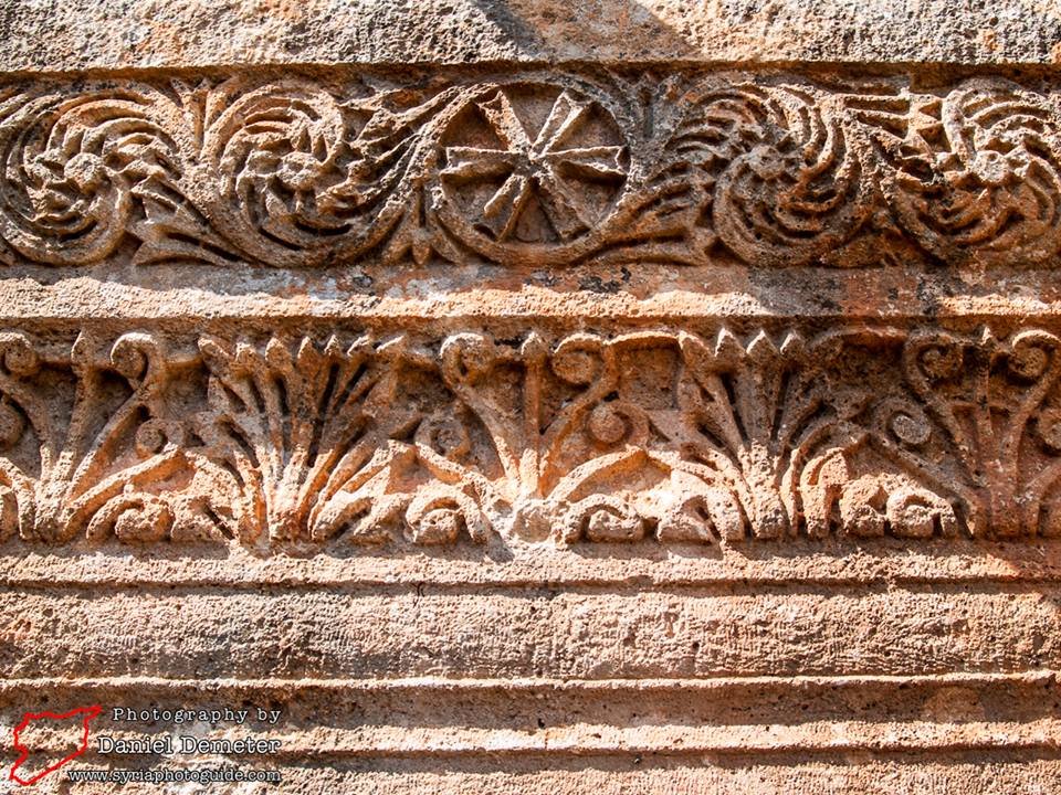
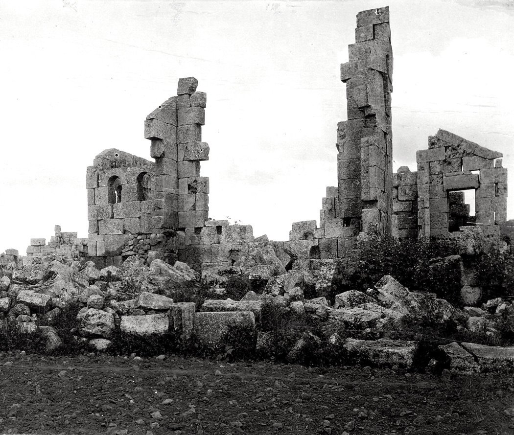
Originally Babisqa settlement extended for ±7.75 ha, at the heart of which lied the central square, with a sort of Agora used until the 5th-6th C. AD.
The ruins included the last Byzantine basilica of Syria, St. Sergius.


The ruins included the last Byzantine basilica of Syria, St. Sergius.


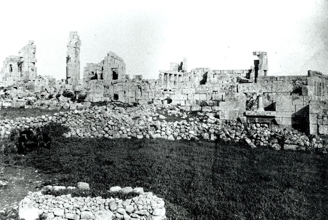
Ruins of many marvelous buildings were present: hostels, androns, public baths, markets and many churches.
The Eastern Church and St. Sergius were the most famous, and dated back to 391 and 609 AD.
Two small monasteries were also located in the vicinity of the town.


The Eastern Church and St. Sergius were the most famous, and dated back to 391 and 609 AD.
Two small monasteries were also located in the vicinity of the town.


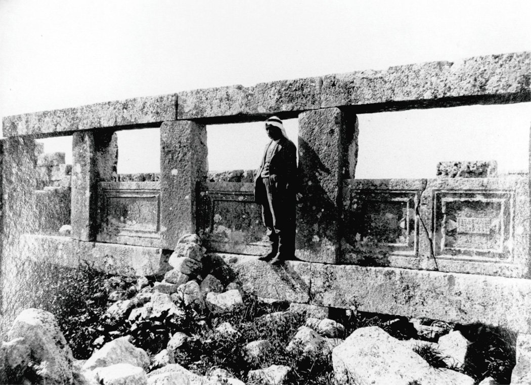
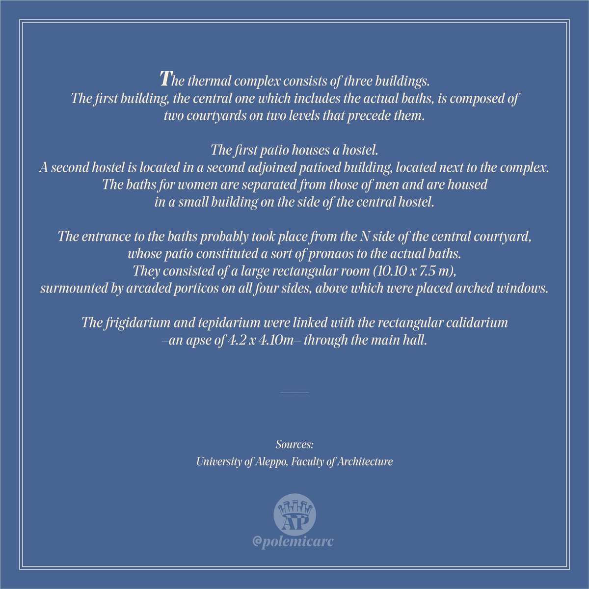
The infrastructure of public baths was investigated by the #Aleppo University of Architecture. This is what I could recover of their work.
Large and Small Baths + complex as a whole:


Large and Small Baths + complex as a whole:
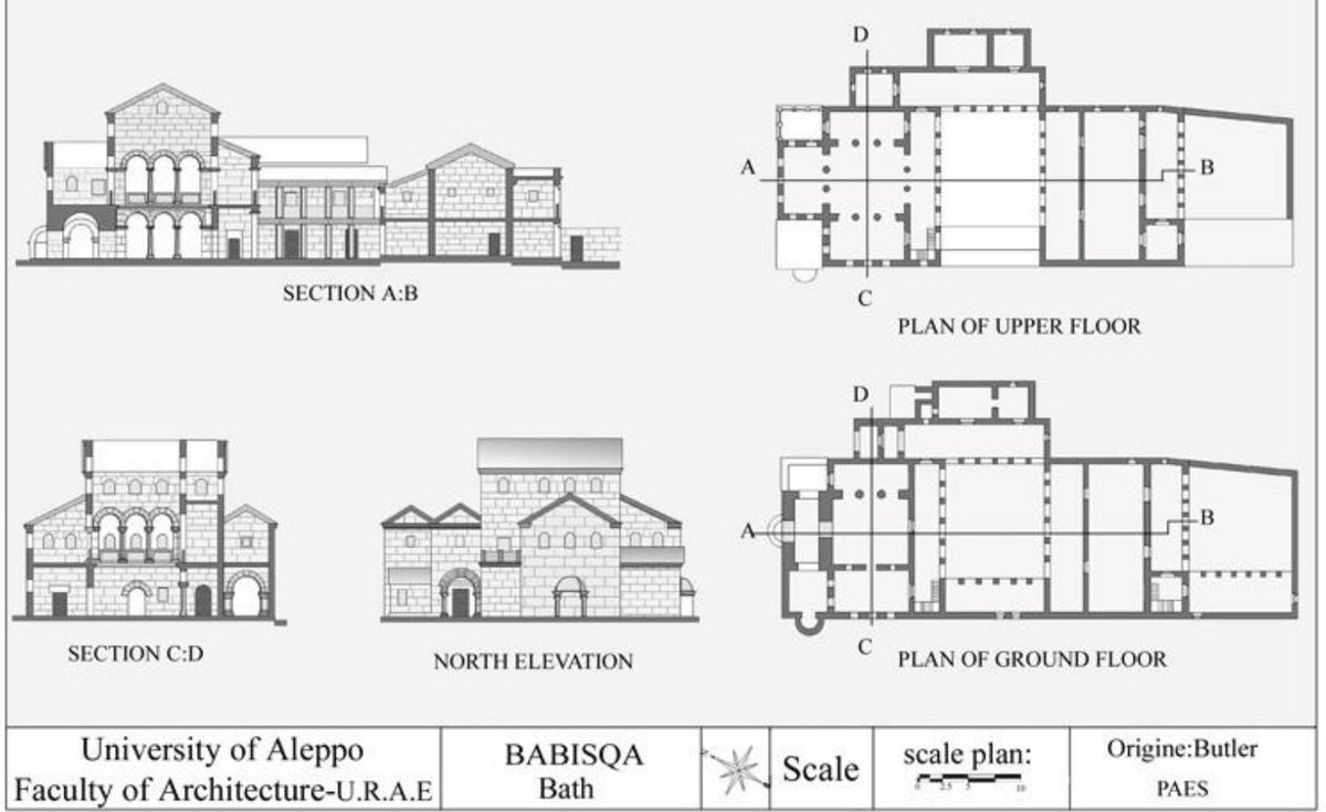
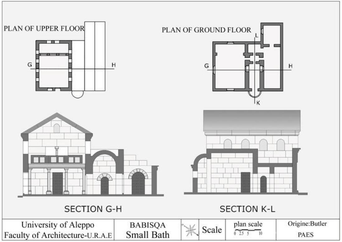
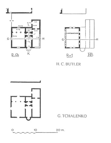
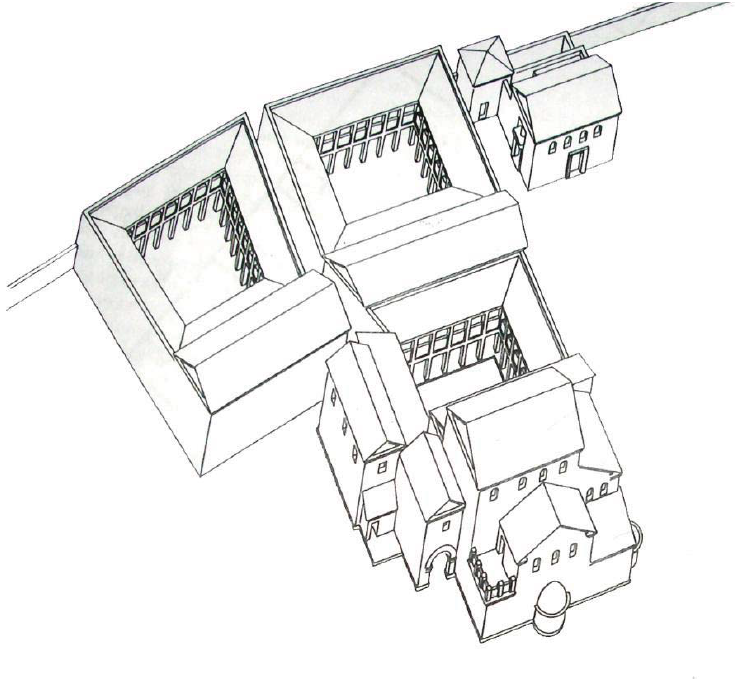
All this has been destroyed by the fanatic muslim #Jihadists in subsequent offensives and infightings. Moreover also the #Russian Aerospace Force bombed this location, and now the #SAA of the government looms to recapture the area. 


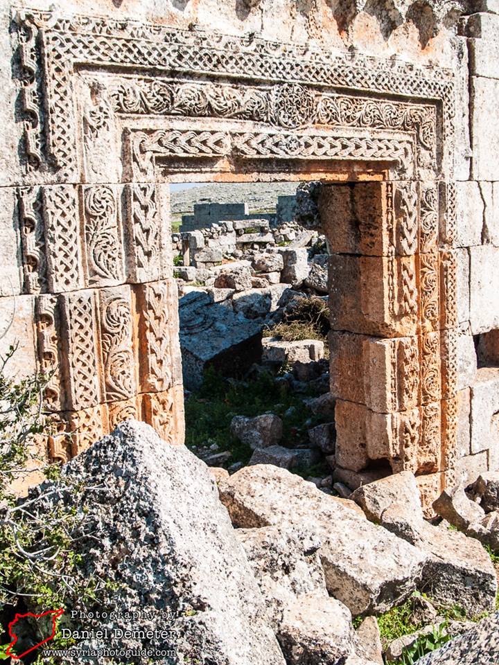

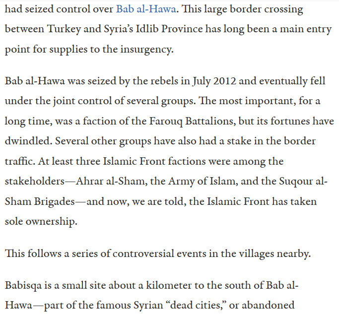
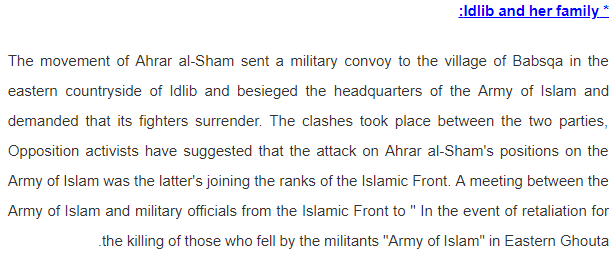
Here’s what happened:
The hamlet was turned into a command post and weapons depot due to its strategic position.
Then infighting took place.
tinyurl.com/y5wx8bq7
Other sources: almanar, RT arabic


The hamlet was turned into a command post and weapons depot due to its strategic position.
Then infighting took place.
tinyurl.com/y5wx8bq7
Other sources: almanar, RT arabic
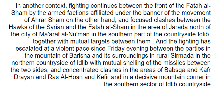
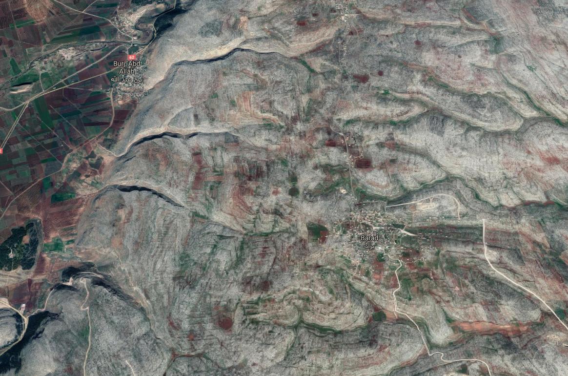
Here we have 3 satellite images:
-3/2010 (before the war) - 29/1/2018 and -12/7/2018 (so they say)
Besides heavy urbanization, check out the military encampments.
I doubt of the date of the pics because the buildings are intact and military deployment doesn't match.


-3/2010 (before the war) - 29/1/2018 and -12/7/2018 (so they say)
Besides heavy urbanization, check out the military encampments.
I doubt of the date of the pics because the buildings are intact and military deployment doesn't match.

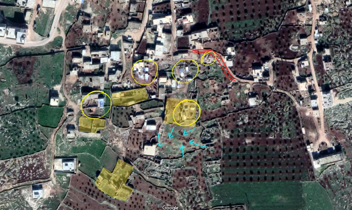
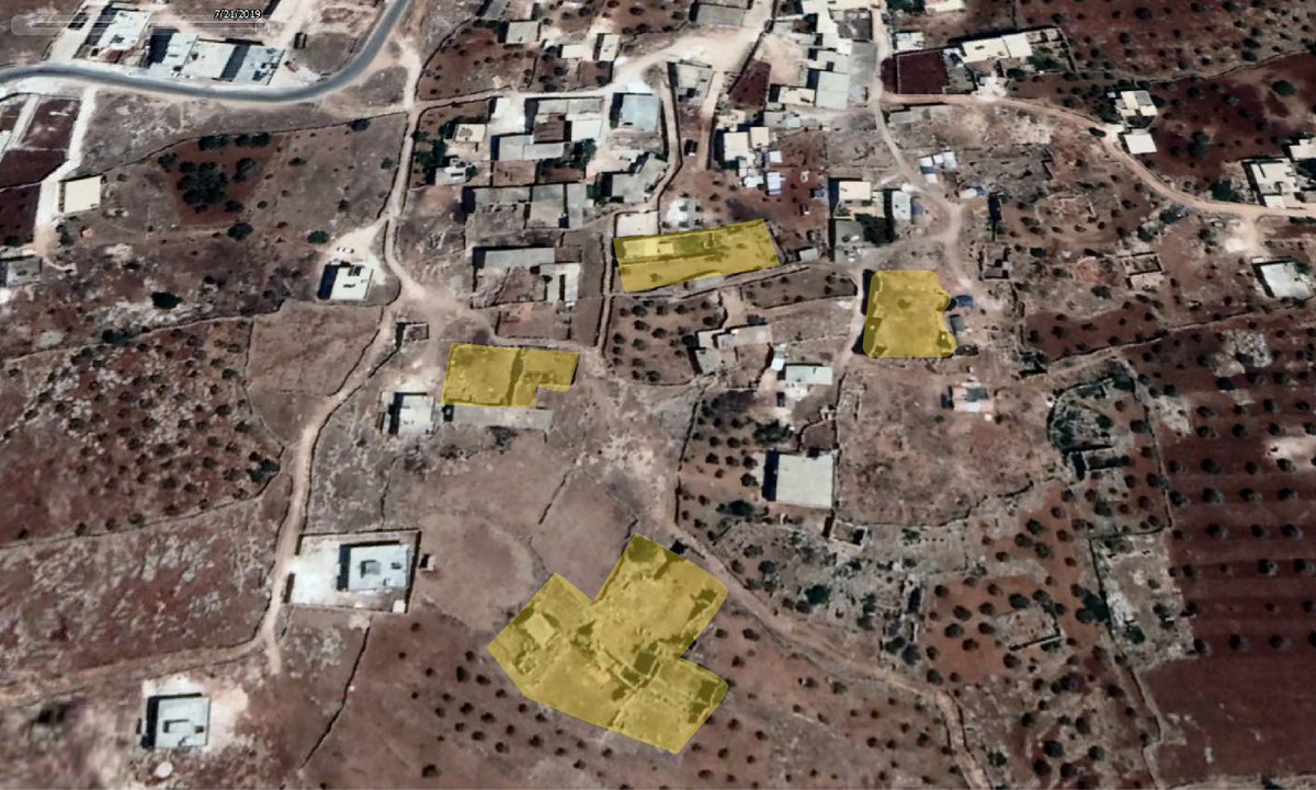
This deploy was also confirmed by official statements:
https://twitter.com/AAAS_GTP/status/513058320039833601
After the infighting of 2013, other clashes happened there as shown below.
If you scroll the1st thread, you will notice many archaeological sites named.
If you scroll the1st thread, you will notice many archaeological sites named.
https://twitter.com/Suriyakmaps/status/889231062861303809
https://twitter.com/etdbrief_ro_1/status/859107978552541184
https://twitter.com/thuwwar/status/530286468208406528
The reports concern also the area of Serjilla, in which we talk about in the 2nd sub-chapter.

https://twitter.com/polemicarc/status/1146151724983472128

To give an idea, a video of clashes in that area between Ahrar al-Sham and al-Qaeda-linked-Hayat Tharir al-Sham, unprecised year.
Not really the place for an evening aperitivo on the hills.
Not really the place for an evening aperitivo on the hills.
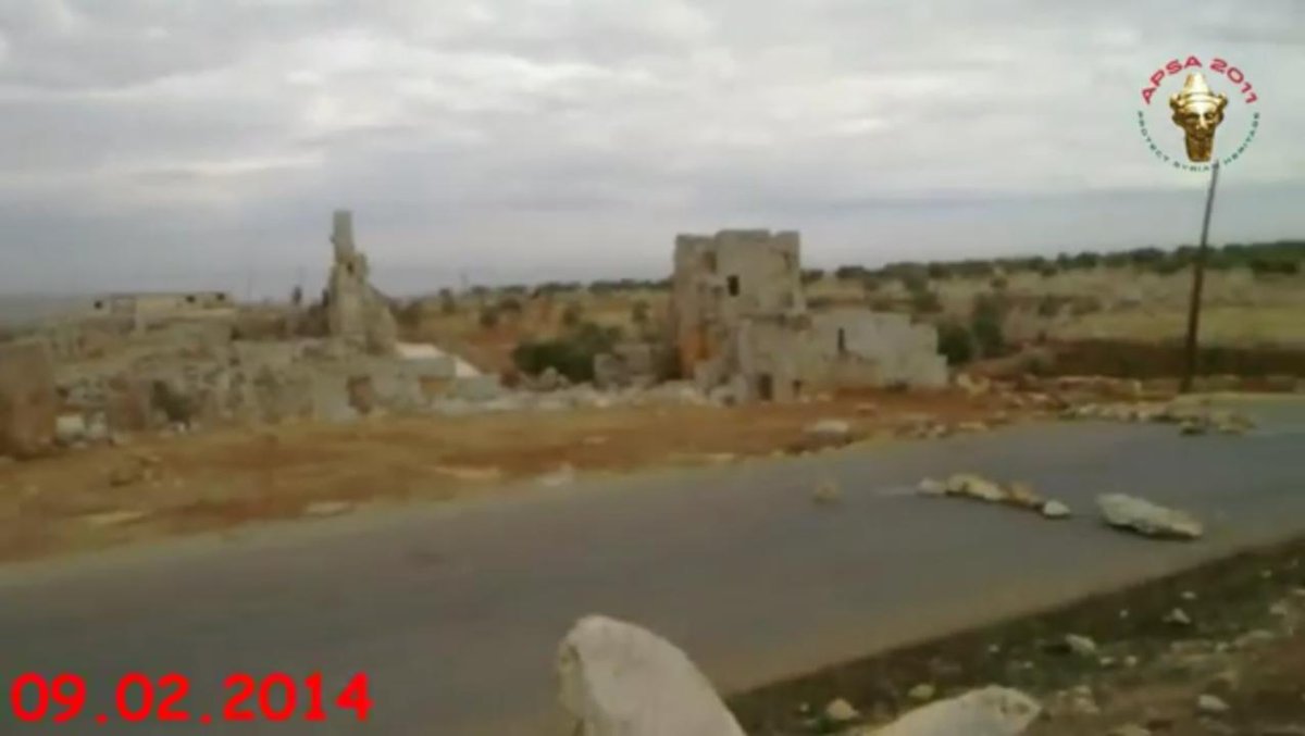
Here, instead, we have a video of supposed “syrian archaeologists”, who are actually jihadists rebels that smuggle and destroy art and culture.
APSA does not, in fact, exist officially.
APSA does not, in fact, exist officially.
Some research has been made in more general terms, but #Babisqa, or the area of #JebelBarisha are always mentioned, along with many other horrific cases.
Two interesting publications:
tinyurl.com/y3cbgocb
tinyurl.com/y4fzukoa
Two interesting publications:
tinyurl.com/y3cbgocb
tinyurl.com/y4fzukoa
@threadreaderapp unroll
• • •
Missing some Tweet in this thread? You can try to
force a refresh


