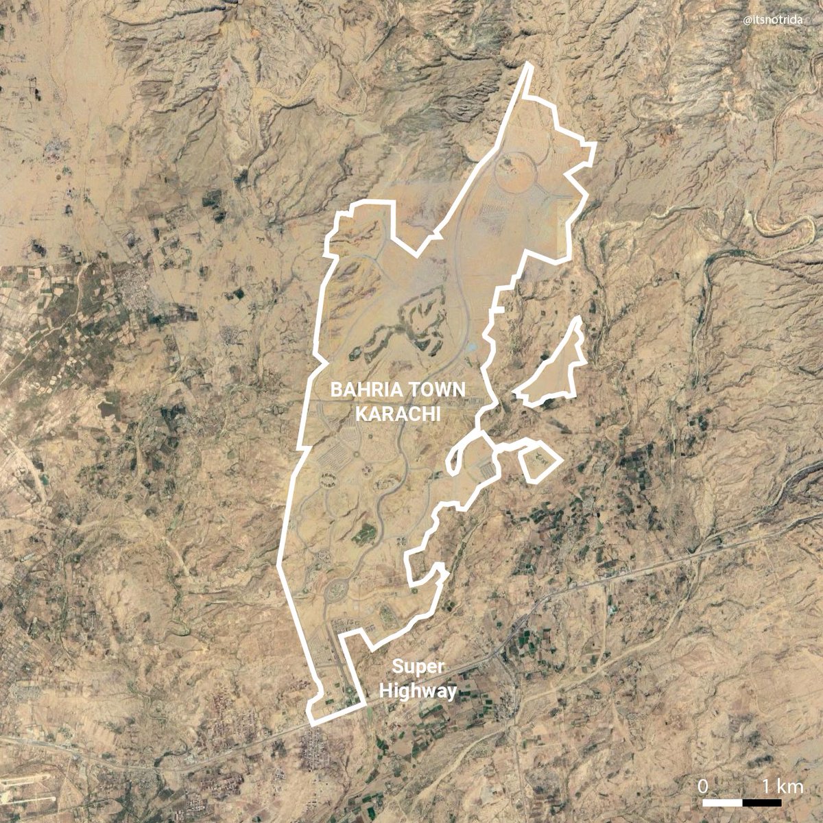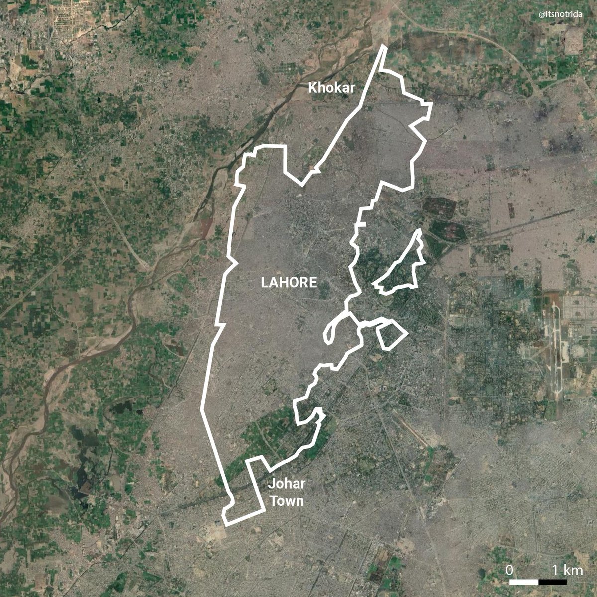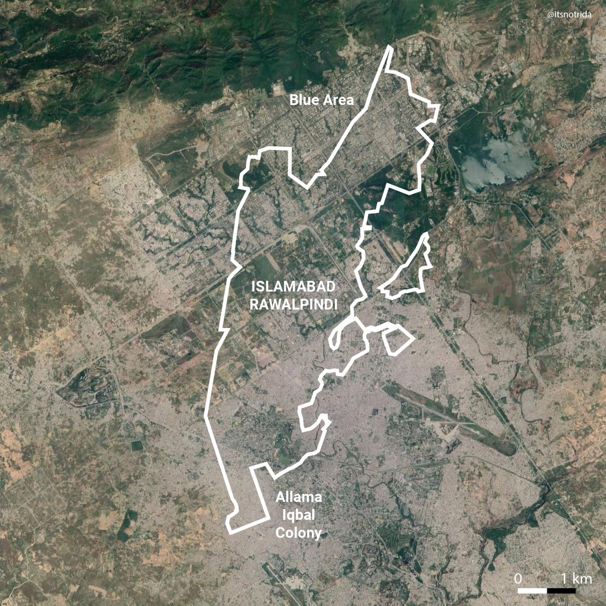
What's going on at #CliftonBeach and why you should care as a Pakistani- a thread on inaccessibility at the seafront commons using diagrams/gifs:
#EnvisioningCliftonBeach #KarachiPublic
#EnvisioningCliftonBeach #KarachiPublic

Access means to benefit. The beach, the water, everyone is entitled access to it by law.
The sea and the urban edge are shown with four main nodes as gateways serving ~20,000,000 citizens and tourists. Today, the stretch of the beach is marked by elements of inaccessibility.
The sea and the urban edge are shown with four main nodes as gateways serving ~20,000,000 citizens and tourists. Today, the stretch of the beach is marked by elements of inaccessibility.
1) Parking lots are exclusively for motorists. The nuance: someone from Buffer Zone (shoutout to CT winning capt @SarfarazA_54) can't exactly take transit/bike to the beach. BUT. This nuisance of asphalt should not be at the edge of a beautiful ocean. Many solutions come to mind.
2) Public parks are inaccessible because they don’t provide incentives like shade, washrooms, safety, or are being made exclusive because they are FENCED and their entry regulated by fees or gender.
Fun fact: I've used Bagh Ibn-e-Qasim as a bkgd for a lecture on urban voids.
Fun fact: I've used Bagh Ibn-e-Qasim as a bkgd for a lecture on urban voids.
3) Luxury commercial across the edge is forming the infamous “ameeron ka sahil” “ghareebon ka sahil” - a beach for the rich, a beach for the poor- where only a small portion of the beach feels welcome to those from low-income households.
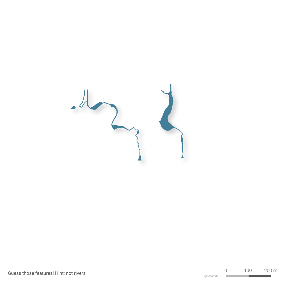
4) These curvy streams are not rivers but open sewage outfalls. Unplanned urbanization and sheer neglect across the city manifests itself as these outlets on the beach, reducing accessibility on many fronts. This is the main public beach of Pakistan- a shameful reflection!
5) Transitional areas like the DHA seawall vicinity are technically “accessible” but locals have reported that they’re prevented from access time to time due to hyper-policing. Perception and safety play a huge role as well- why make a trip to a sewage+ocean edge?
6) Finally like a large nail on the coffin are impending developments of luxury residential or park and port expansions that are stuck in limbo, and their specifics unknown to the public. Are they or aren't they?
This reduces the truly "accessible beach" to these two stretches. But are these accessible purely from a spatial capacity standpoint? 

We know that Clifton Beach is a popular destination especially on Eids, or during heat waves.
Even if we assume that the accessible beach is only accessed by those classified as poor in Karachi, then 11 of these are needed to service them all at once.
Even if we assume that the accessible beach is only accessed by those classified as poor in Karachi, then 11 of these are needed to service them all at once.
And to accomodate 16 million of us (according to the Census '17)?
117! #math
This is just theoretical- however inaccessibility to the beach is a problem that we must collectively dispute and care about. It is better to avoid a horrible future than to correct it after.
117! #math
This is just theoretical- however inaccessibility to the beach is a problem that we must collectively dispute and care about. It is better to avoid a horrible future than to correct it after.
Participate in the #EnvisioningCliftonBeach surveys and share them with your family and friends
- English: tinyurl.com/cliftonbeach
- Urdu: tinyurl.com/urducliftonbea…
For more, visit website: karachipublic.com
- English: tinyurl.com/cliftonbeach
- Urdu: tinyurl.com/urducliftonbea…
For more, visit website: karachipublic.com
Thanks for being here! I call these diagrams "inaccesibility tetris" - made using QGIS, Rhino, Illustrator, time
• • •
Missing some Tweet in this thread? You can try to
force a refresh

