1/4
Did launch of GISAT face EXTERNAL “interference”?
1️⃣ISRO’s major projects hv taken a hit recently For example Chandrayaan-2. ISRO report said crash was caused by a “software glitch”.
2️⃣ Today GISAT ws to be launched bt now it hs bn delayed by 1.5 YEARS. Read on…
2/4 GISAT was to be launched last year. 3️⃣ GISAT’s primary function wld hv bn to keep an eye on INDIA in REAL TIME. It wld hv bn of immense help during NATURAL disasters. Now this is 550m wide rupture which caused the disaster at Chamoli, Uttrakhand 6 months ago. 👇Natural?
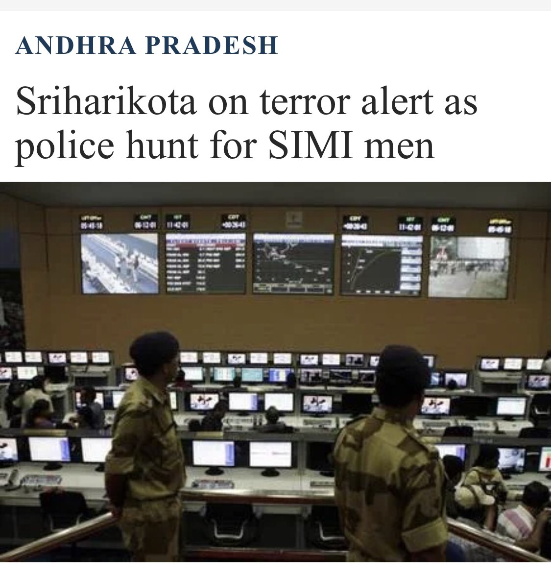
3/4 Forget what I said above now check this >>4️⃣ Sriharikota has been on the hitlist of terr0rists. But blast would have received India the sympathy of other countries and a mission failure wld receive CRTICISM. The latter causes more damage psychologically the enemy knows.
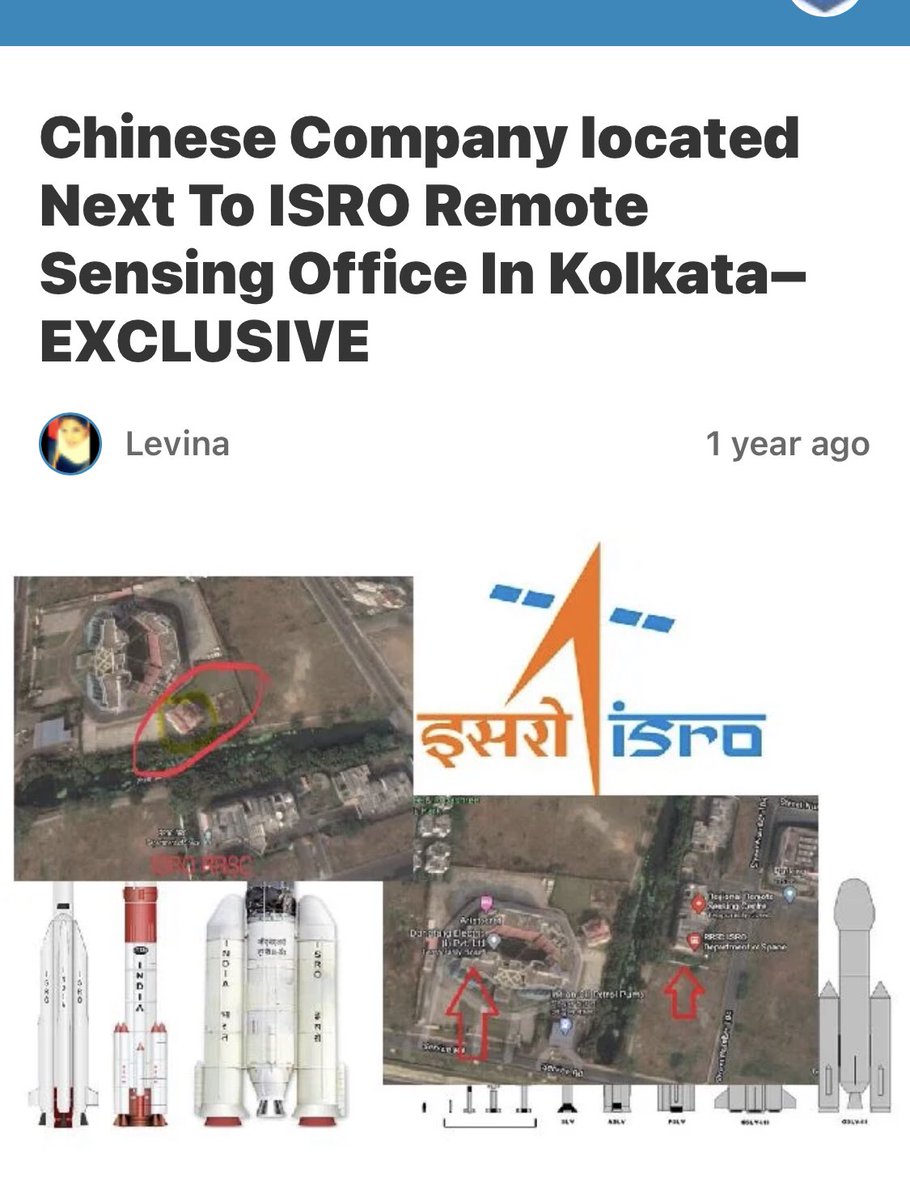
4/4 It’s known fact that such establishments have been “necklaced” as sleuth reports have said time and again(in quoted thread 👇). Then ofcourse there have been times when state govts have ignored existence of outside entities close to ISRO not just in Kolkatta. 👇
Yes I agree ISRO is run by humans & it cn hv FAILURES. But #NambiNarayan’s case is a proof of how long presence and interference of EXTERNAL entities can b hidden. 👇Progress of ISRO was pushed by a DECADE bcoz of this incident.
GIST: our major projects r being delayed
And…. it took off today. 👍 #ISRO has posted update: “Performance of 1st and 2nd stages was normal. However, Cryogenic Upper Stage ignition did not happen due to technical anomaly. The mission couldn't be accomplished as intended.” Will have to wait to see the impact of this.
Beware #HINDUS!! How much MISINFORMATION cn 1 spread? 2 yrs ago I hd posted a thread on #JYOTIRLINGA & posted an IRRADIATION map( SOLAR ACTIVITY in thread quoted). Someone hs misunderstood it to be RADIATION map & made a content out of it calling JYOTIRLINGA as nuclear sites. 🤦♀️
I can understand ppl using some part of information. But pls dont call IRRADIATION MAP as RADIATION map. 🤦♀️ This was my article>>> resonantnews.com/2019/09/09/why…
If anyone can then —-please help me find if there really is any radiation map.
India has apparently approached #Israel for special equipment so that search can be carried out at greater depth underwater in #Ranjeet Sagar dam where Indian Army’s helicopter had crashed last week.
This is really unfortunate! Reminds me of how 2 years ago I hd lost 4 members of my family to a car accident in a river, in US and their bodies wr recovered one by one after 5 days. Cant fathom what the families of the pilots must be going through. Hoping against all hopes!
I remember how it was Sushma Swaraj Ji who pushed the US govt to carry out a search in bad weather conditions. Our family will forever remain indebted to her.
1/2
3 DAYS TO GO!
~EOS-3 will be launched on 12th Aug
~India’s 1st sky eye: earth observation SAT to be placed in geo-stationary orbit.
~ Real-time monitoring (image of India in every 30 min, resolution-50m ABGL).
~satellite is capable of imaging India 4-5 times daily.🚀
2/2
~EOS-3 will be launched aboard GSLV Mk III
~ 1st time vehicle’s payload fairing, nose of rocket where satellites r carried, will be a 4m ogive (bullet-like shape), making vehicle more aerodynamic.
~Same payload fairing is likely to be used for India’s HUMAN spaceflight. 🚀
Pic credit: spacetalk101, info credit: multiple sources
PM #Modi is hinting at
1️⃣Recent attack on #Israeli ship & Strait of Hormuz
2️⃣SCS & how CHEENI maritime militia aka their Navy carries out drug trafficking and pushes its maritime boundaries in the sea through its men masquerading as fishermen.
3️⃣Gulf of Guinea
Reminds me of👇
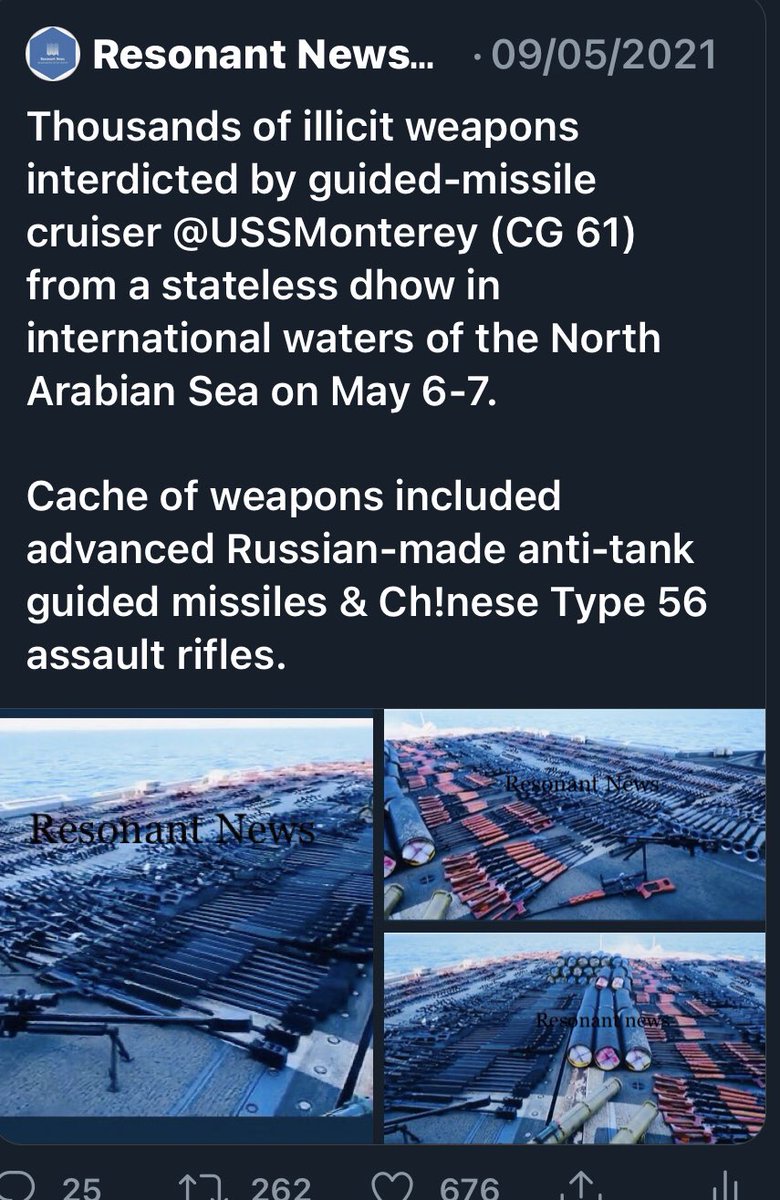
The incident in the screenshot had happened just before Israel & H0m0s hd picked swords against each other in May.
As expected, this has irked CHEEN. It wants everyone to stick to the word Asia-pacific and stop using INDIAN ocean. The bully jst met a match in INDIA! 😊